Kalona is a city in Washington County, Iowa. It is part of the Iowa City metropolitan area. The population was 2,630 at the time of the 2020 census. Kalona is the second-largest city in Washington County.
| Name: | Kalona city |
|---|---|
| LSAD Code: | 25 |
| LSAD Description: | city (suffix) |
| State: | Iowa |
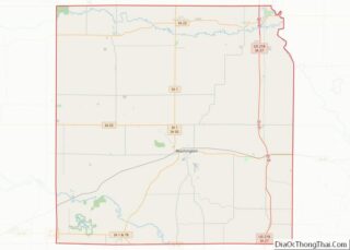
| County: | Washington County |
| Elevation: | 659 ft (201 m) |
| Total Area: | 2.15 sq mi (5.58 km²) |
| Land Area: | 2.15 sq mi (5.58 km²) |
| Water Area: | 0.00 sq mi (0.00 km²) |
| Total Population: | 2,630 |
| Population Density: | 1,220.42/sq mi (471.24/km²) |
| ZIP code: | 52247 |
| Area code: | 319 |
| FIPS code: | 1940170 |
| GNISfeature ID: | 0458018 |
| Website: | www.cityofkalona.org |
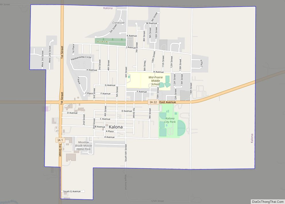
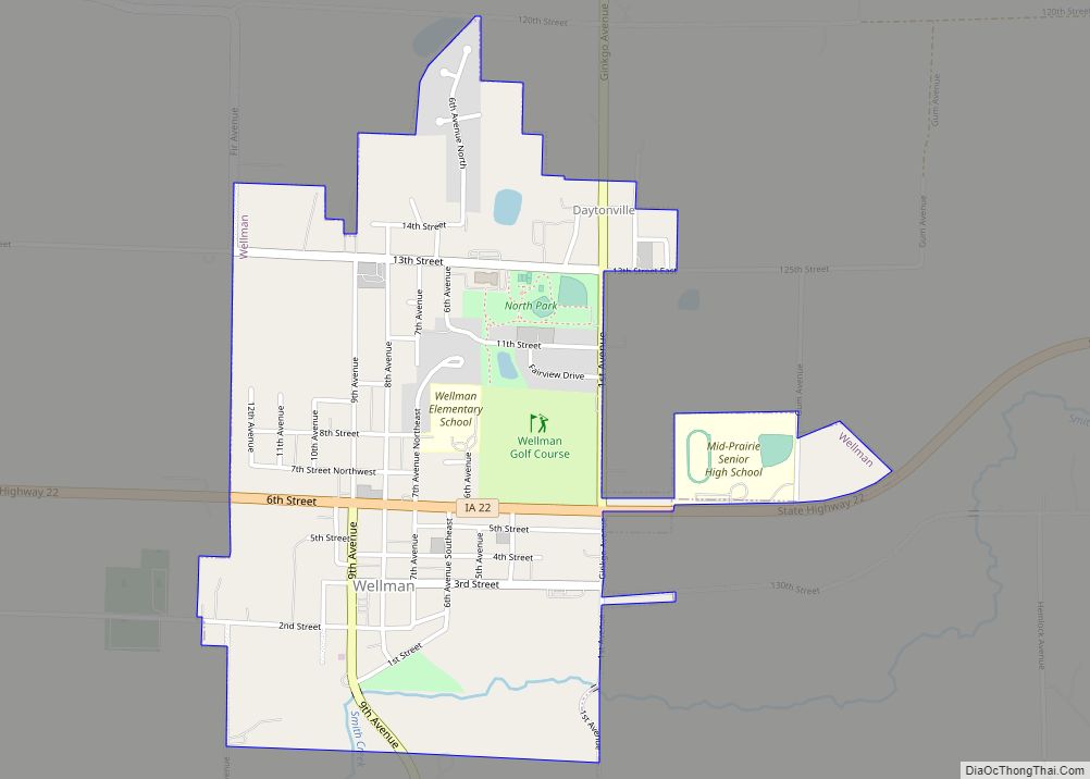
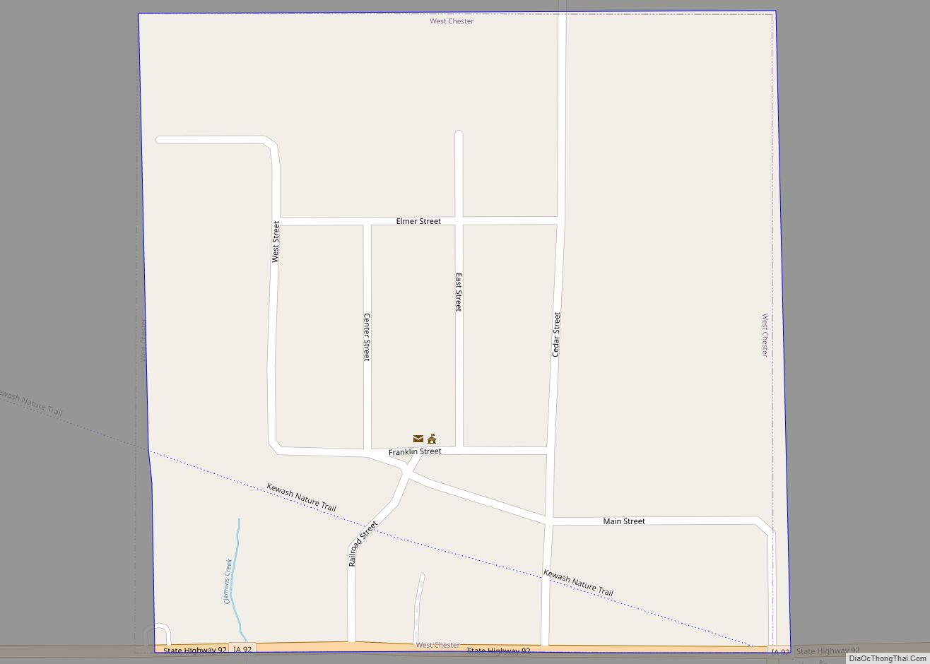
Online Interactive Map
Click on ![]() to view map in "full screen" mode.
to view map in "full screen" mode.
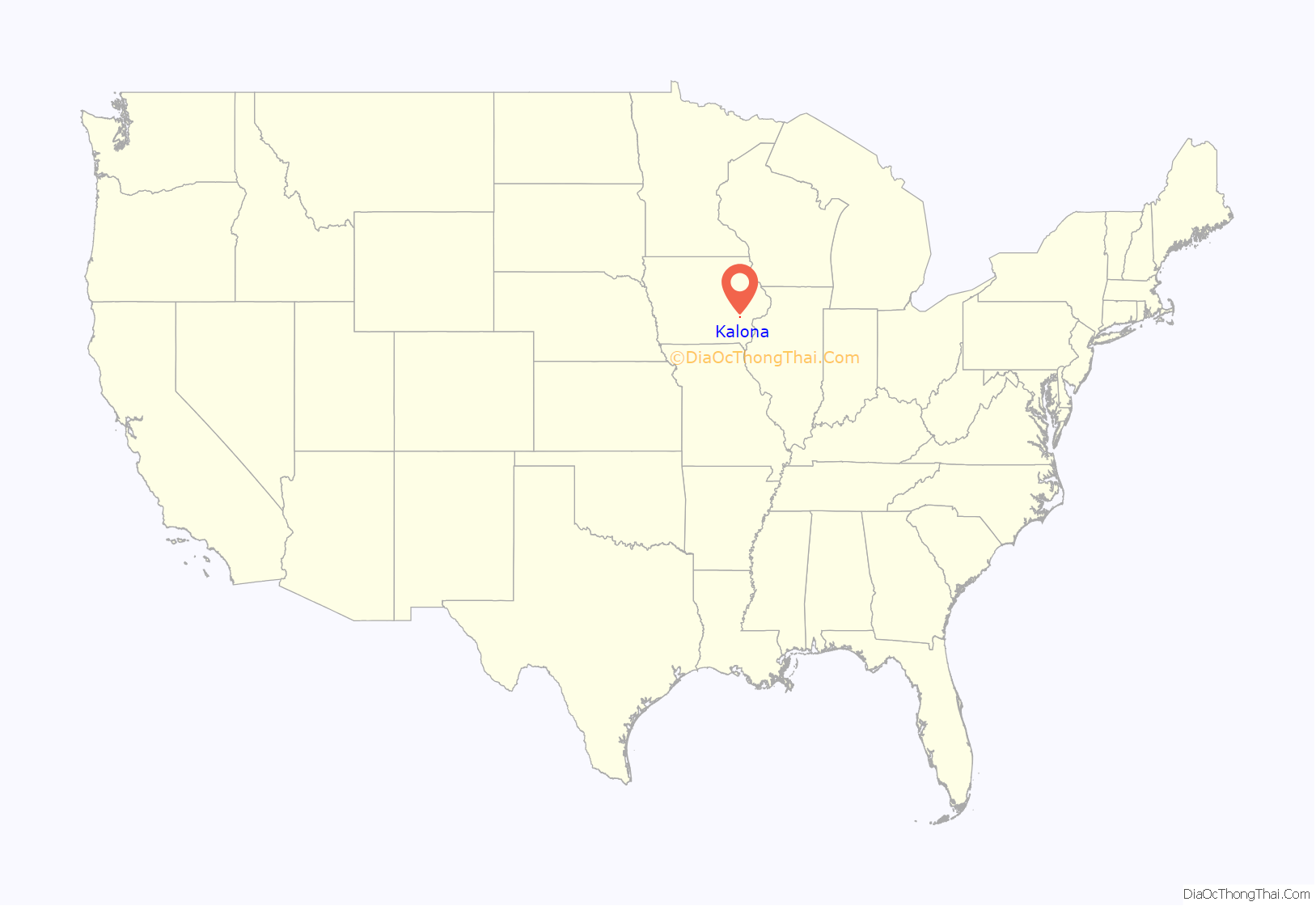
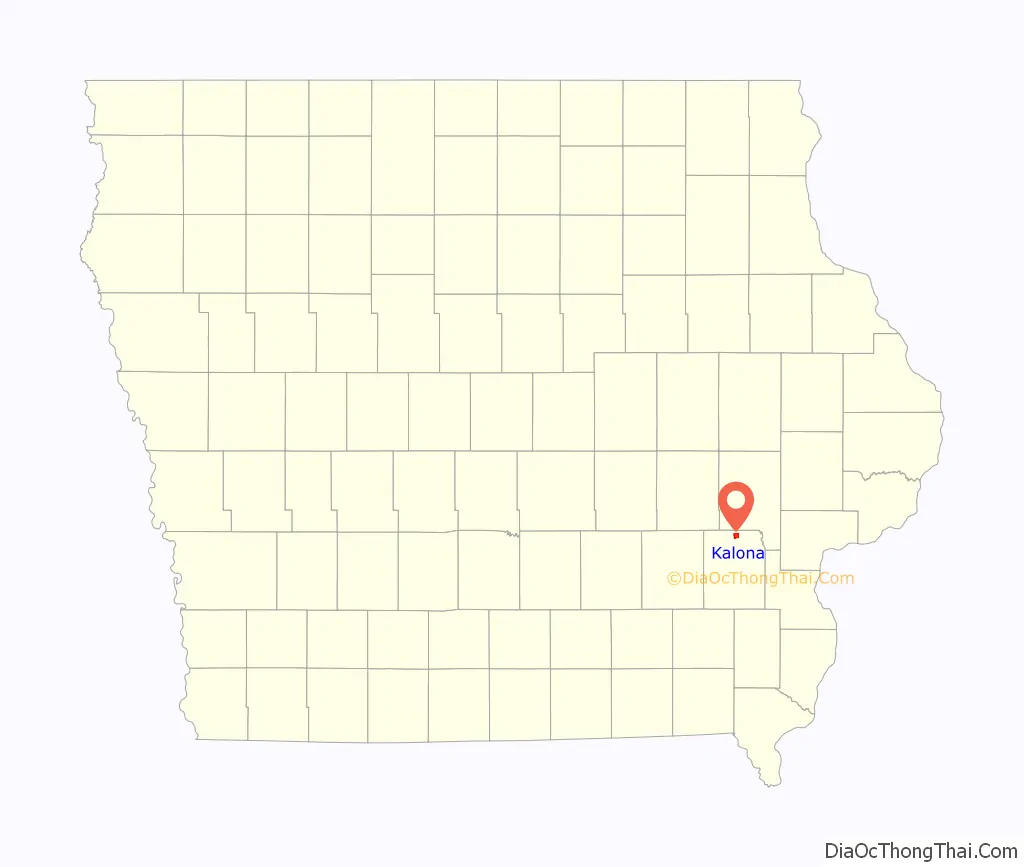
Kalona location map. Where is Kalona city?
History
Amish settlement in what is now the Kalona area began in the 1840s, placing the Amish among the first European settlers in the area. The split between Old Order Amish and Amish Mennonites occurred in the 1860s in most places, but it was not until the 1880s that the formal split occurred in Iowa, even though a process of sorting out between conservatives and change-minded Amish had begun a decade earlier or so in Iowa. Most Amish Mennonites later assimilated and lost their Amish identity. The Beachy Amish broke away from the Old Orders in the 1920s.
The Burlington, Cedar Rapids and Northern Railway built a 66-mile branch from Iowa City to What Cheer via Kalona in 1879.
Kalona was established by the railroad on August 6, 1879. The name was suggested to the railroad by a Mr. Myers, who owned a bull of that name. The town remained unincorporated until 1890.
Kalona is home to a burgeoning craft, antiques, and local products industry. Its proximity to both Iowa City, Iowa and a large Amish settlement have allowed growth in population and industry in recent years. The town is home to a variety of locally owned shops and restaurants. The city centers around the historic old town business section of Kalona, which features many local businesses that are popular with tourists.
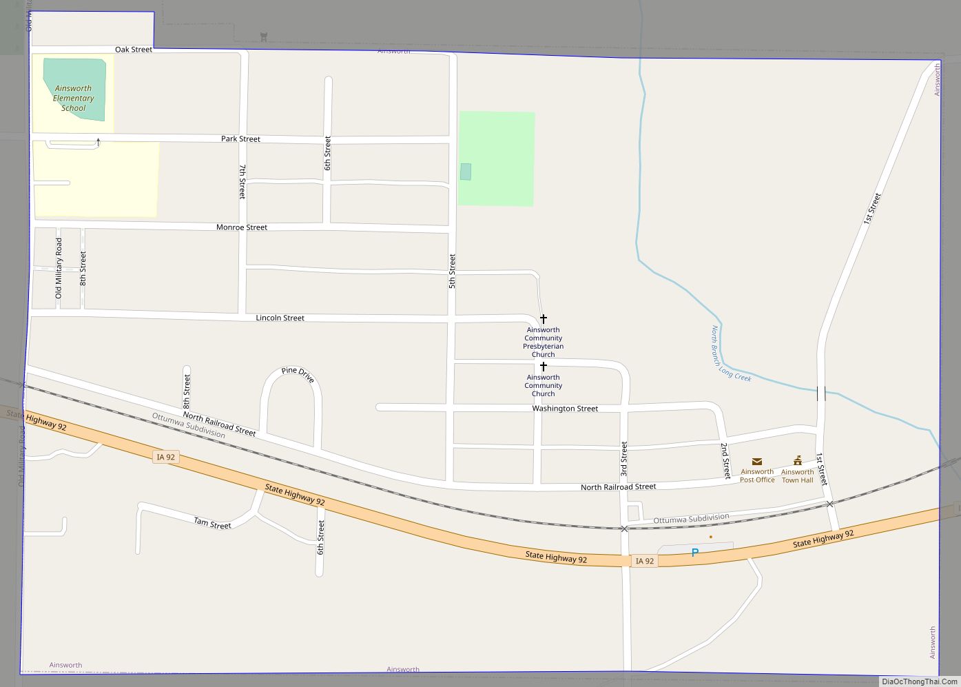
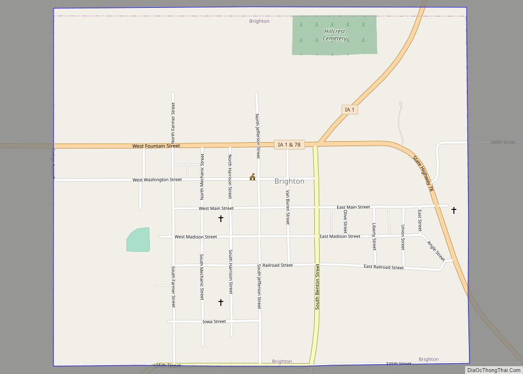
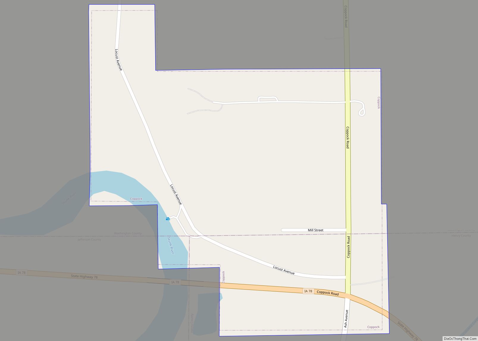
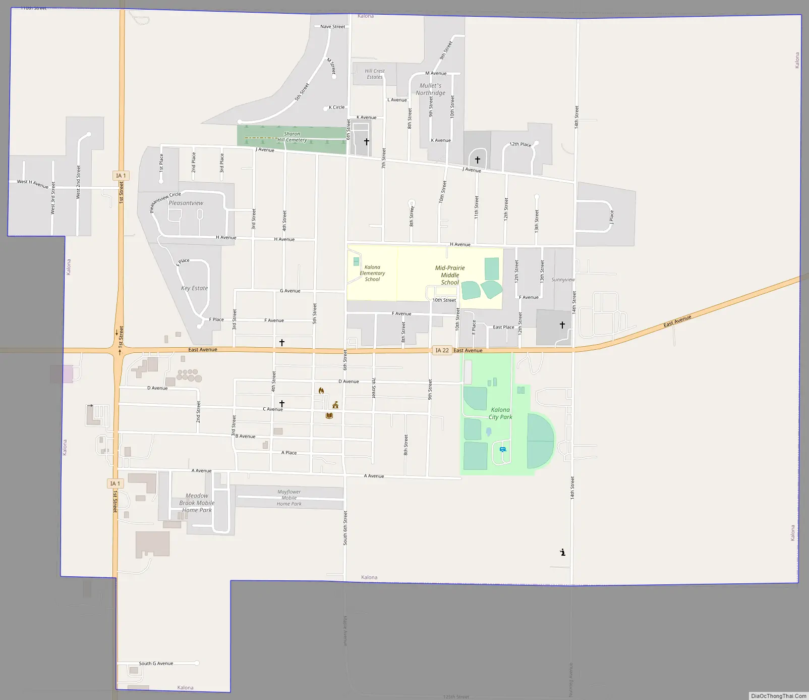
Kalona Road Map
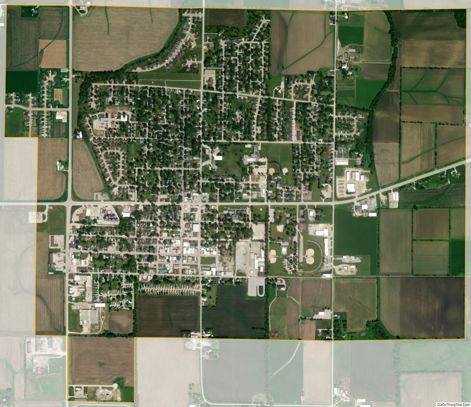
Kalona city Satellite Map
Geography
According to the United States Census Bureau, the city has a total area of 2.04 square miles (5.28 km), all of it land.
See also
Map of Iowa State and its subdivision:- Adair
- Adams
- Allamakee
- Appanoose
- Audubon
- Benton
- Black Hawk
- Boone
- Bremer
- Buchanan
- Buena Vista
- Butler
- Calhoun
- Carroll
- Cass
- Cedar
- Cerro Gordo
- Cherokee
- Chickasaw
- Clarke
- Clay
- Clayton
- Clinton
- Crawford
- Dallas
- Davis
- Decatur
- Delaware
- Des Moines
- Dickinson
- Dubuque
- Emmet
- Fayette
- Floyd
- Franklin
- Fremont
- Greene
- Grundy
- Guthrie
- Hamilton
- Hancock
- Hardin
- Harrison
- Henry
- Howard
- Humboldt
- Ida
- Iowa
- Jackson
- Jasper
- Jefferson
- Johnson
- Jones
- Keokuk
- Kossuth
- Lee
- Linn
- Louisa
- Lucas
- Lyon
- Madison
- Mahaska
- Marion
- Marshall
- Mills
- Mitchell
- Monona
- Monroe
- Montgomery
- Muscatine
- O'Brien
- Osceola
- Page
- Palo Alto
- Plymouth
- Pocahontas
- Polk
- Pottawattamie
- Poweshiek
- Ringgold
- Sac
- Scott
- Shelby
- Sioux
- Story
- Tama
- Taylor
- Union
- Van Buren
- Wapello
- Warren
- Washington
- Wayne
- Webster
- Winnebago
- Winneshiek
- Woodbury
- Worth
- Wright
- Alabama
- Alaska
- Arizona
- Arkansas
- California
- Colorado
- Connecticut
- Delaware
- District of Columbia
- Florida
- Georgia
- Hawaii
- Idaho
- Illinois
- Indiana
- Iowa
- Kansas
- Kentucky
- Louisiana
- Maine
- Maryland
- Massachusetts
- Michigan
- Minnesota
- Mississippi
- Missouri
- Montana
- Nebraska
- Nevada
- New Hampshire
- New Jersey
- New Mexico
- New York
- North Carolina
- North Dakota
- Ohio
- Oklahoma
- Oregon
- Pennsylvania
- Rhode Island
- South Carolina
- South Dakota
- Tennessee
- Texas
- Utah
- Vermont
- Virginia
- Washington
- West Virginia
- Wisconsin
- Wyoming