Kingsley is a city in Plymouth County, Iowa, United States, which is located within Garfield Township. The population was 1,396 at the time of the 2020 census. The city was originally known as the village Quorn, which was founded by two brothers, Frederick and William B. Close. Quorn was named after the Quorn Hunt in England. The village was later relocated to a different part of Iowa and named Kingsley due to a railroad not running through the original area. The railroad was designed by the Chicago and North Western Transportation Company. Kingsley was founded on January 15, 1884 and the centennial celebration was held in June 1984. Kingsley includes organizations, recreational activities, and a local government consisting of a mayor and a city council. The schools are an elementary school and a high school, with the middle school being located in Pierson.
Recreational additions include a golf course and a public swimming pool. The city has a public library and published a newspaper titled The Kingsley News-Times, now combined with other newspapers to form The Record. There are many businesses and houses within the city limits. United States President Herbert Hoover lived in Kingsley as a child and Cincinnati Reds baseball player Harry Gaspar was born in Kingsley.
| Name: | Kingsley city |
|---|---|
| LSAD Code: | 25 |
| LSAD Description: | city (suffix) |
| State: | Iowa |
| County: | Plymouth County |
| Elevation: | 1,257 ft (383 m) |
| Total Area: | 1.61 sq mi (4.18 km²) |
| Land Area: | 1.61 sq mi (4.18 km²) |
| Water Area: | 0.00 sq mi (0.00 km²) |
| Total Population: | 1,396 |
| Population Density: | 864.93/sq mi (333.97/km²) |
| ZIP code: | 51028 |
| Area code: | 712 |
| FIPS code: | 1941385 |
| GNISfeature ID: | 0458095 |
Online Interactive Map
Click on ![]() to view map in "full screen" mode.
to view map in "full screen" mode.
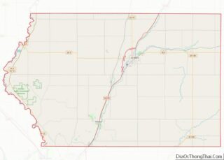
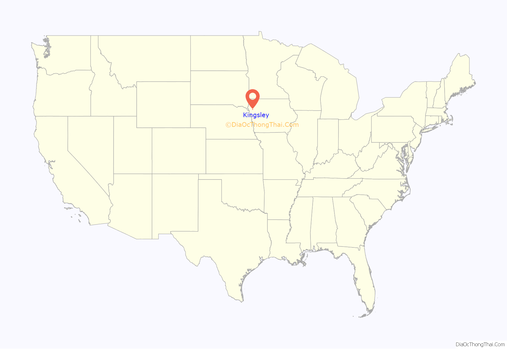
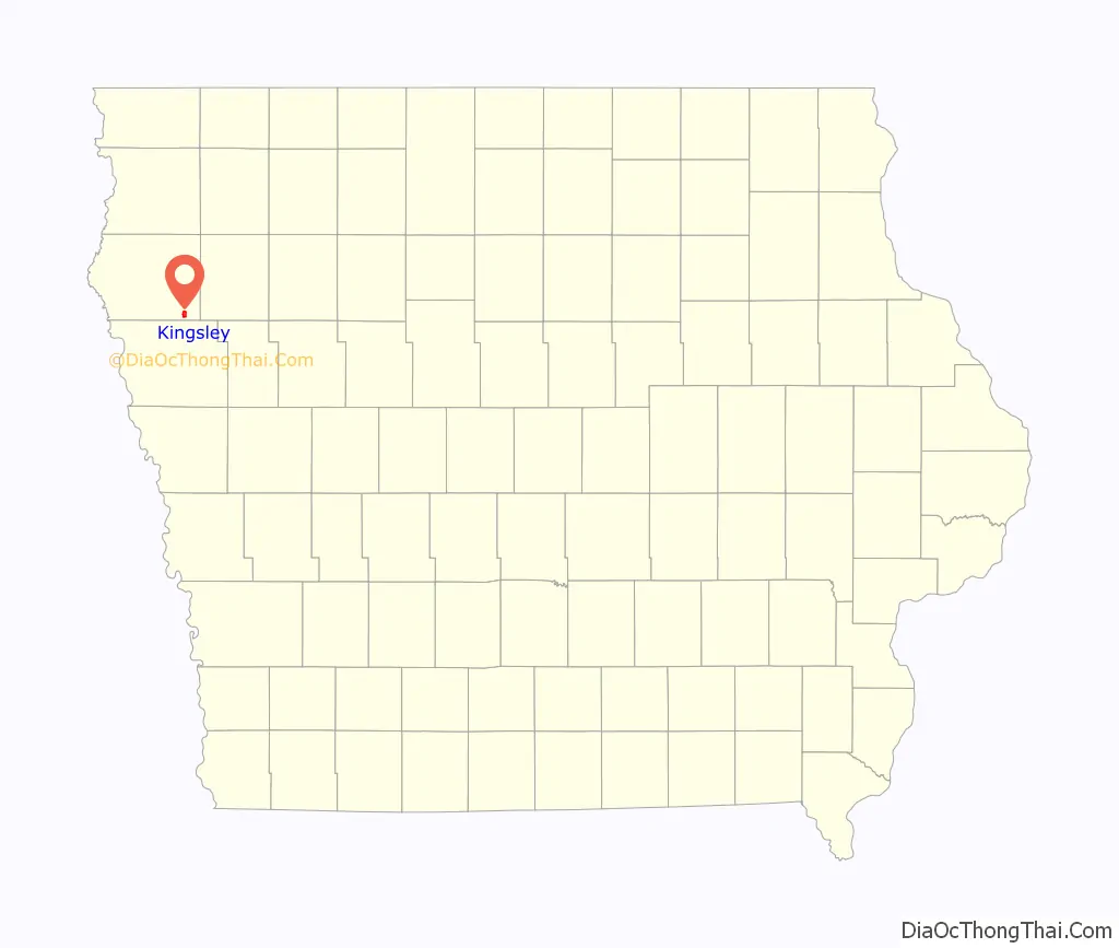
Kingsley location map. Where is Kingsley city?
History
Quorn
The city later known as Kingsley was once a village in a different location named Quorn, being named after the Quorn Hunt in England. Quorn was founded by two brothers, Frederick and William B. Close on September 18, 1880. It started with William’s and W. Roylance Court Jr.’s 2,000 acre farm, which contained buildings, sheds, and hundreds of livestock. The livestock included sheep, bucks, ewes, cattle, and hogs. Quorn, through investments by the Close brothers, later included a post office, country store, and social center. Quorn continued to grow to include a population of 300 to 400 people and multiple buildings on Main Street.
A railroad was being built and the population of Quorn hoped that it would go through the village on its way to Sioux City, Iowa. However, the railroad did not go through Quorn. One of the many ideas about why the railroad took a different route was due to a disagreement between the Chicago and North Western Transportation Company and the Close brothers. The actual reason is still unknown. Due to the railroad being the main mode of transportation of goods, the residents had no choice but to relocate to a new area. Every business except for a mill was moved to a new area during 1883.
Current site
Founded on January 15, 1884, Kingsley was named after Nahum P. Kingsley who had laid out the city on June 4, 1883. A centennial celebration was held on three days in June 1984. Former United States President Ronald Reagan wrote of the centennial, “The spirit which has built and sustained your community reflects the energy which has forged America into a land of wonder. As a community held by fellowship and goodwill, Kingsley has become home to many who love it dearly”. In June 1894, a 1,500 gallon water tower was used to pump water. In October 1905, the water tower collapsed so a new steel tower was built in January 1906. In 1915, yet another new water tower was built to replace the 1906 water tower. In 1912, a sewer system and 2,775 feet of pipe were laid. The sewer system was expanded on in 1968.
In June 1990, a public swimming pool named the Loring Aquatic Center was opened. The 1893 grain elevator was burned down in 1996 and used as practice by firefighters. In June 2000, new playground equipment was added to Kingsley’s park. Kingsley received high speed internet in May 2002. In December 2003, a final water tower was built and was completed on May 24, 2004. In 2005 through 2006, a walking trail was completed. In June 2008, a new water main was built. On August 17, 2009, it was reported that Kingsley had 80 businesses. From 2001 to 2009, almost 70 houses have been built.
Organizations
Shortly after Quorn was founded, an anonymous organization calling themselves The Spooks was started. Each Christmas, the members provided free food and clothing to the needy in Quorn and then in Kingsley. Their membership was small and only the members themselves knew who was a part of the organization. All members wear masks and they are still in operation in Kingsley. The Women’s Kingsley Community Action Club was founded in June 1980 as a splinter group of the Men’s KCAC. It was started with the plan to help summer programs for Kingsley’s youth. The city once published the newspaper The Kingsley-News Times that began publication in 1887. The local newspaper was founded by J. H. Strief, who later became president of the Iowa State Federation of Labor. The Kingsley-News Times was later combined with two other newspapers to form The Record, spreading its coverage to include multiple nearby cities.
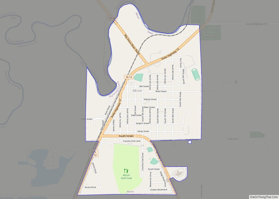
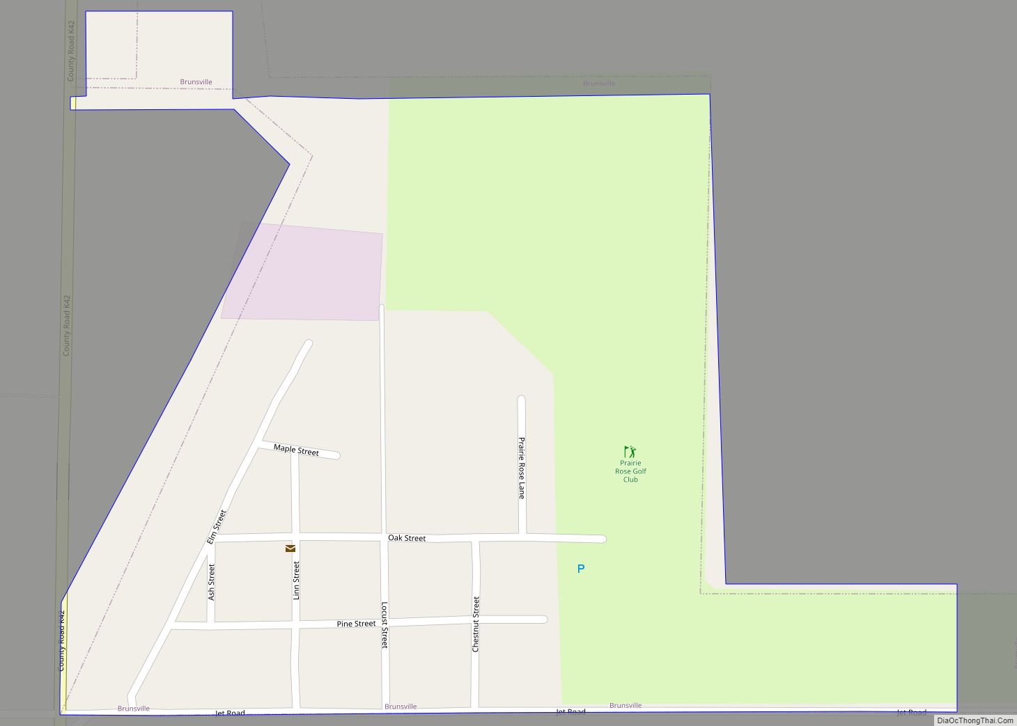
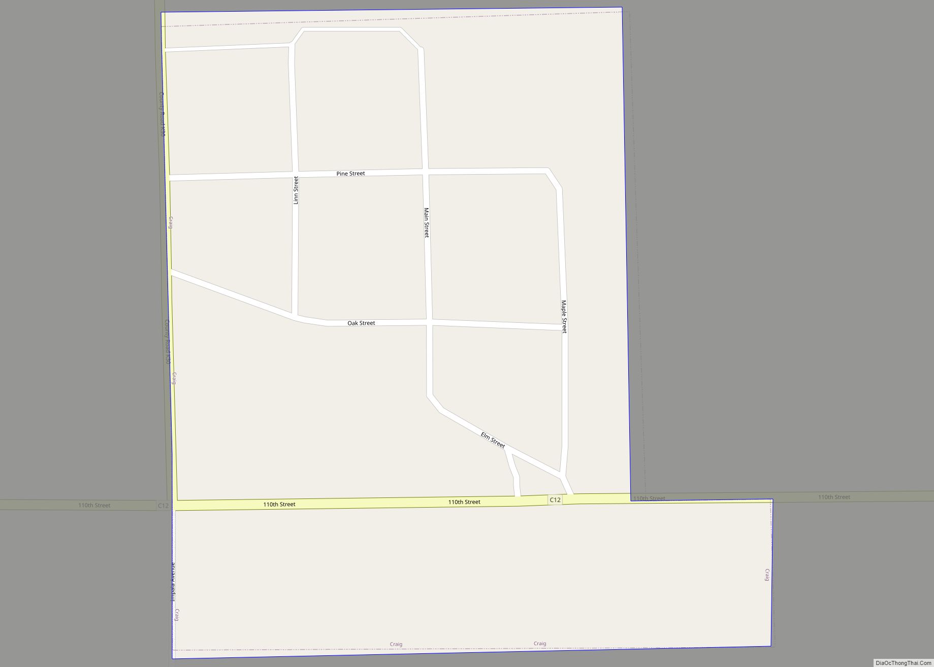
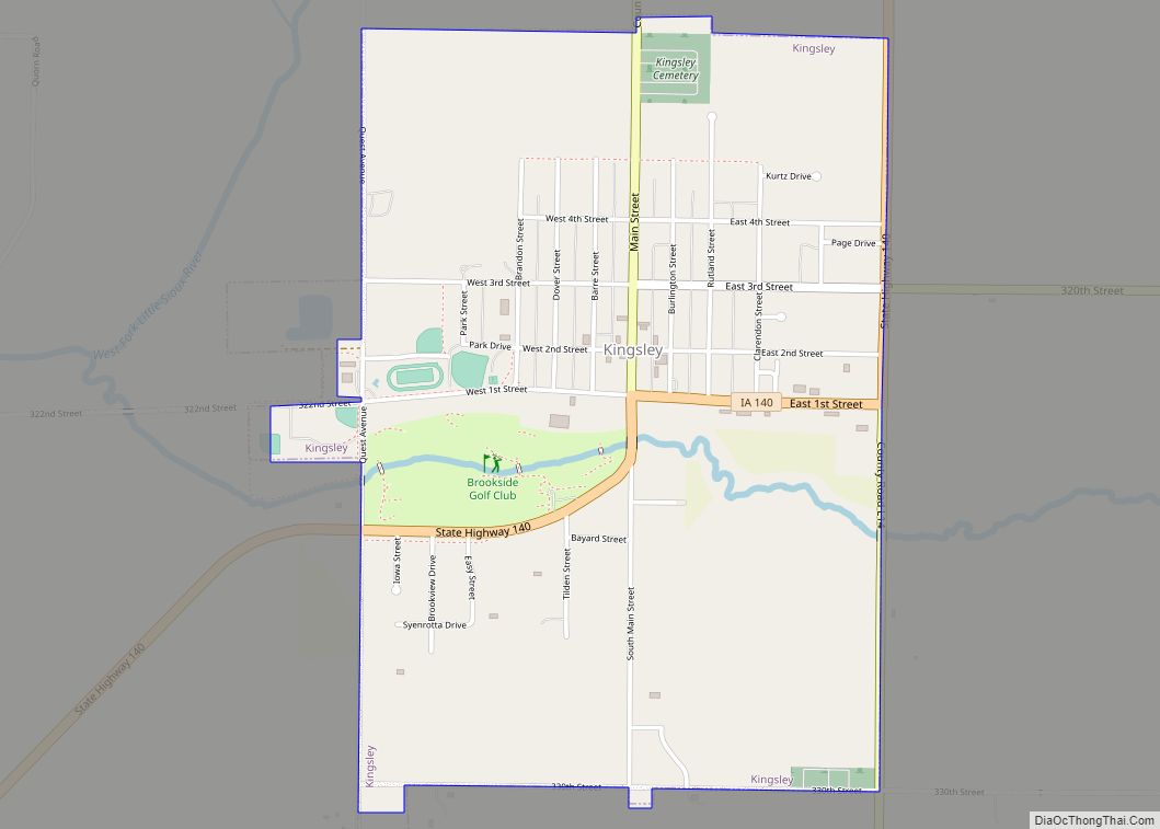
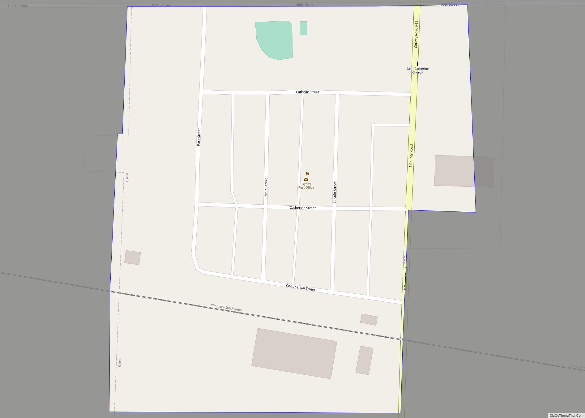
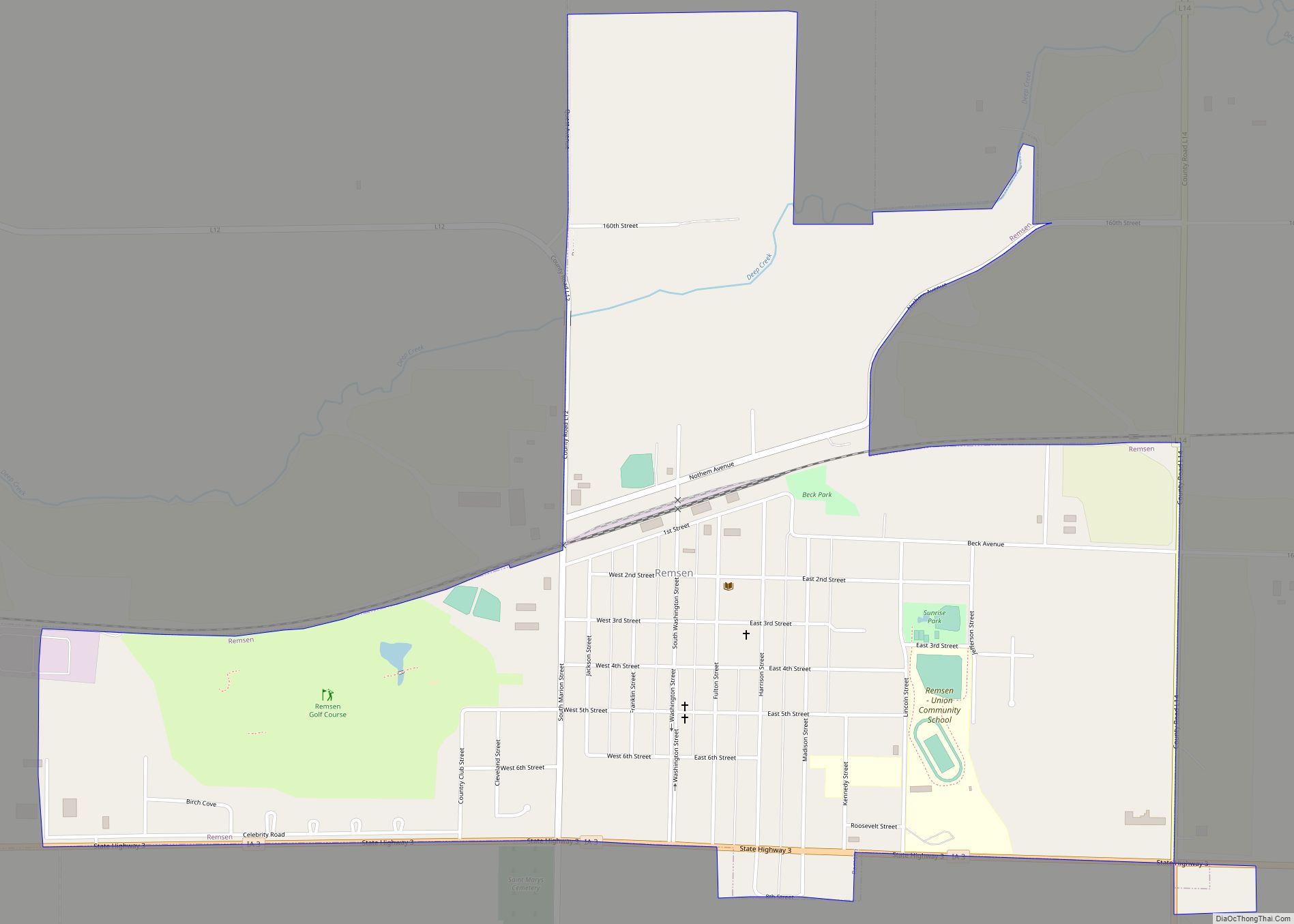
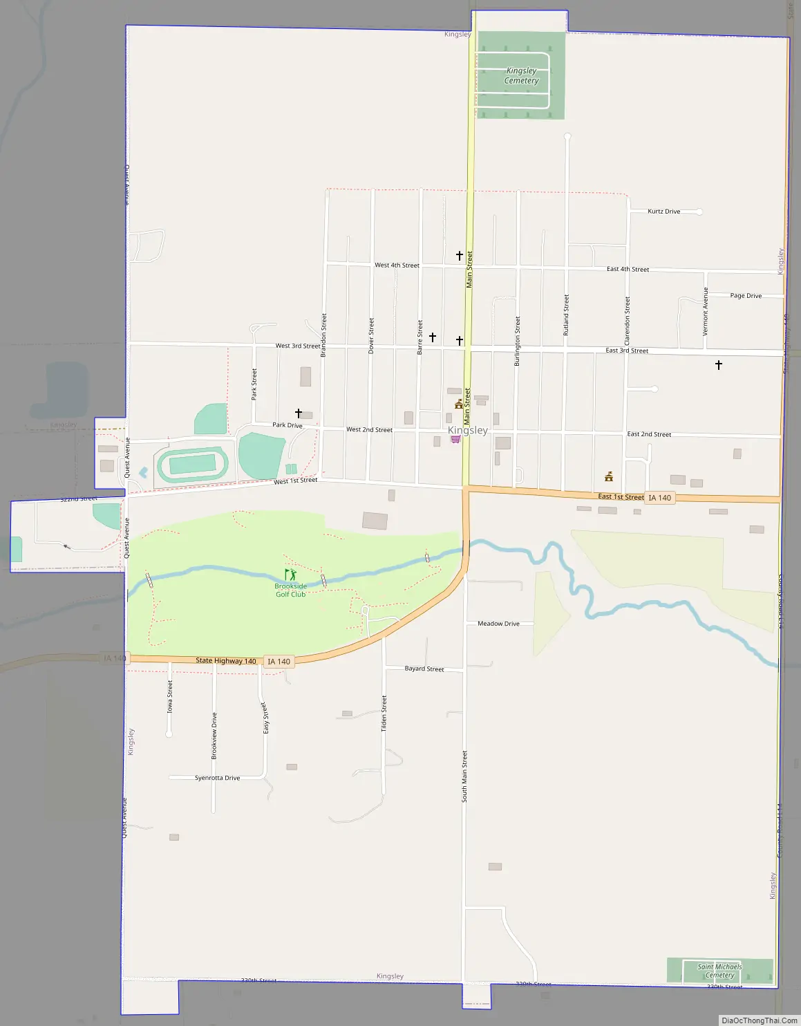
Kingsley Road Map
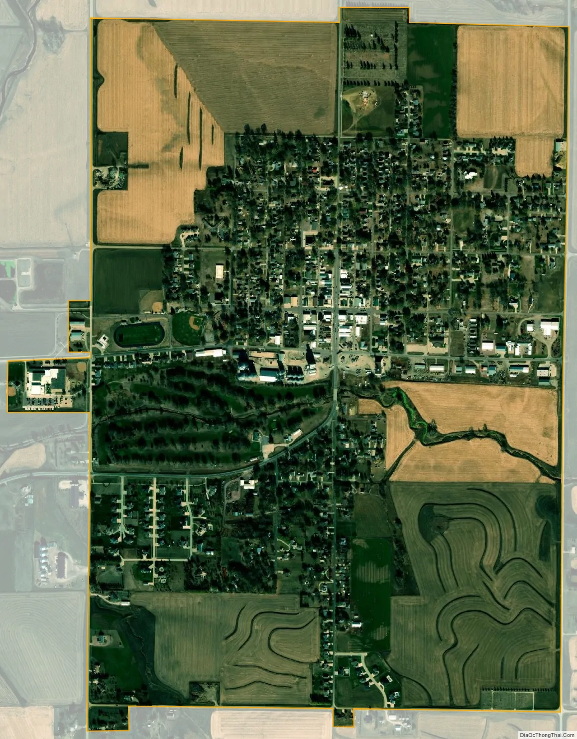
Kingsley city Satellite Map
Geography
Kingsley is located at 42°35′21″N 95°58′6″W / 42.58917°N 95.96833°W / 42.58917; -95.96833 (42.589178, −95.968280). Kingsley is located in Garfield Township within Plymouth County. It is part of the Sioux City metropolitan area which encompasses parts of Iowa, Nebraska and South Dakota. The city is located within the Loess Hills. It was written in a 1990 book that Kingsley is in a “grain and stock region on the Chicago and Northwestern Railroad”.
According to the United States Census Bureau, the city has a total area of 1.61 square miles (4.17 km), all land. Kingsley is 1,230 feet [375 m] above sea level. The city is surrounded by farmland and many of the original farms were owned by the Close brothers.
See also
Map of Iowa State and its subdivision:- Adair
- Adams
- Allamakee
- Appanoose
- Audubon
- Benton
- Black Hawk
- Boone
- Bremer
- Buchanan
- Buena Vista
- Butler
- Calhoun
- Carroll
- Cass
- Cedar
- Cerro Gordo
- Cherokee
- Chickasaw
- Clarke
- Clay
- Clayton
- Clinton
- Crawford
- Dallas
- Davis
- Decatur
- Delaware
- Des Moines
- Dickinson
- Dubuque
- Emmet
- Fayette
- Floyd
- Franklin
- Fremont
- Greene
- Grundy
- Guthrie
- Hamilton
- Hancock
- Hardin
- Harrison
- Henry
- Howard
- Humboldt
- Ida
- Iowa
- Jackson
- Jasper
- Jefferson
- Johnson
- Jones
- Keokuk
- Kossuth
- Lee
- Linn
- Louisa
- Lucas
- Lyon
- Madison
- Mahaska
- Marion
- Marshall
- Mills
- Mitchell
- Monona
- Monroe
- Montgomery
- Muscatine
- O'Brien
- Osceola
- Page
- Palo Alto
- Plymouth
- Pocahontas
- Polk
- Pottawattamie
- Poweshiek
- Ringgold
- Sac
- Scott
- Shelby
- Sioux
- Story
- Tama
- Taylor
- Union
- Van Buren
- Wapello
- Warren
- Washington
- Wayne
- Webster
- Winnebago
- Winneshiek
- Woodbury
- Worth
- Wright
- Alabama
- Alaska
- Arizona
- Arkansas
- California
- Colorado
- Connecticut
- Delaware
- District of Columbia
- Florida
- Georgia
- Hawaii
- Idaho
- Illinois
- Indiana
- Iowa
- Kansas
- Kentucky
- Louisiana
- Maine
- Maryland
- Massachusetts
- Michigan
- Minnesota
- Mississippi
- Missouri
- Montana
- Nebraska
- Nevada
- New Hampshire
- New Jersey
- New Mexico
- New York
- North Carolina
- North Dakota
- Ohio
- Oklahoma
- Oregon
- Pennsylvania
- Rhode Island
- South Carolina
- South Dakota
- Tennessee
- Texas
- Utah
- Vermont
- Virginia
- Washington
- West Virginia
- Wisconsin
- Wyoming