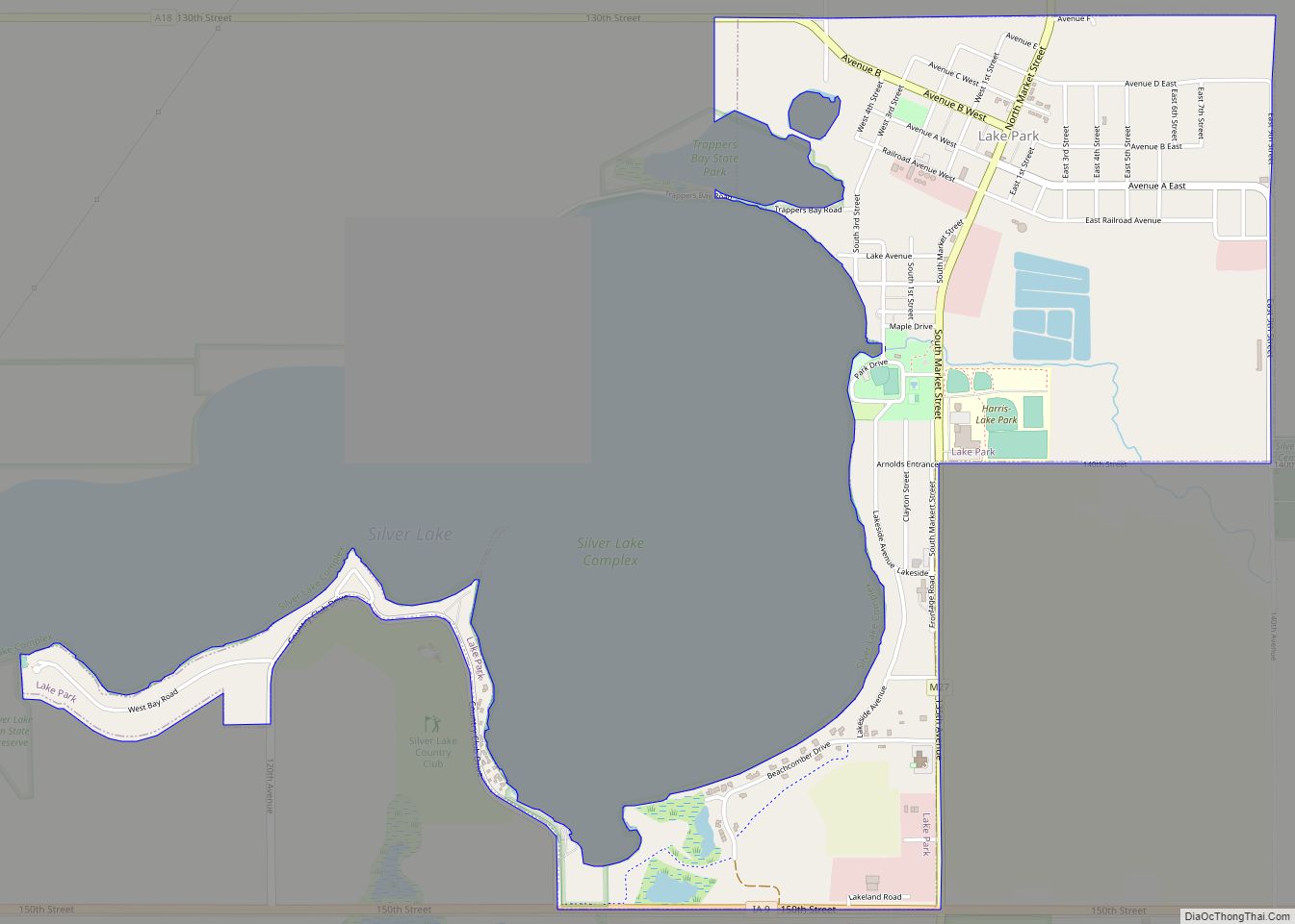
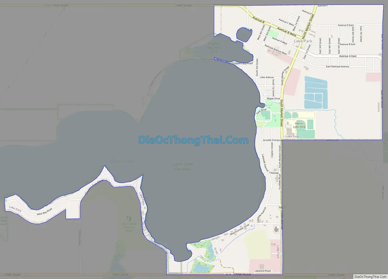
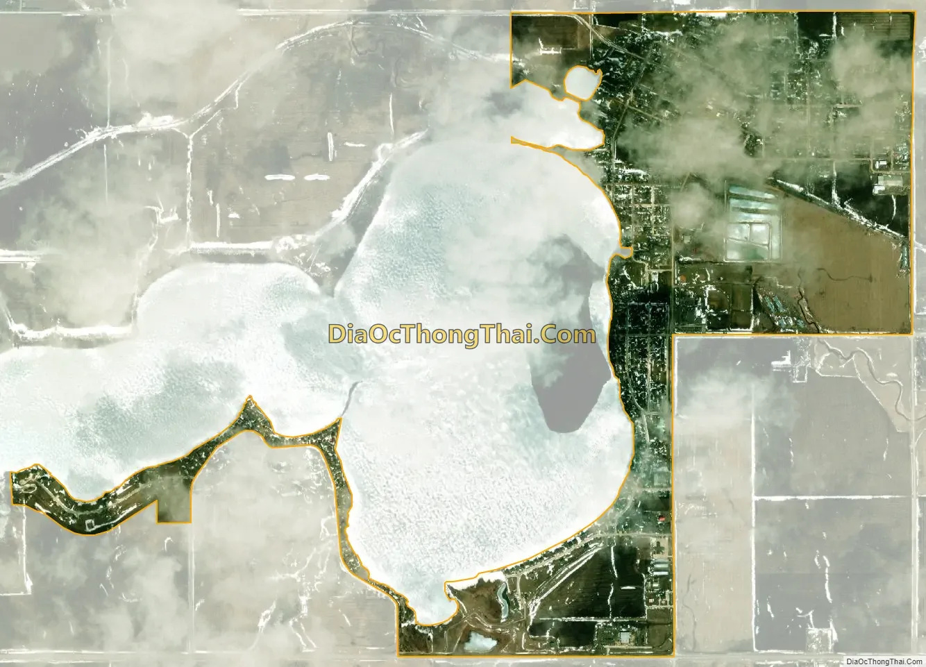
Lake Park is a city in Dickinson County, Iowa, United States. The population was 1,167 at the time of the 2020 census. Trappers Bay State Park is located just west of the town.
| Name: | Lake Park city |
|---|---|
| LSAD Code: | 25 |
| LSAD Description: | city (suffix) |
| State: | Iowa |
| County: | Dickinson County |
| Elevation: | 1,490 ft (454 m) |
| Total Area: | 1.65 sq mi (4.27 km²) |
| Land Area: | 1.58 sq mi (4.09 km²) |
| Water Area: | 0.07 sq mi (0.18 km²) |
| Total Population: | 1,167 |
| Population Density: | 739.54/sq mi (285.58/km²) |
| ZIP code: | 51347 |
| Area code: | 712 |
| FIPS code: | 1942600 |
| GNISfeature ID: | 0458193 |
| Website: | www.lakeparkia.com |
Online Interactive Map
Click on ![]() to view map in "full screen" mode.
to view map in "full screen" mode.
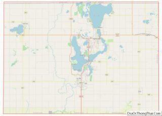
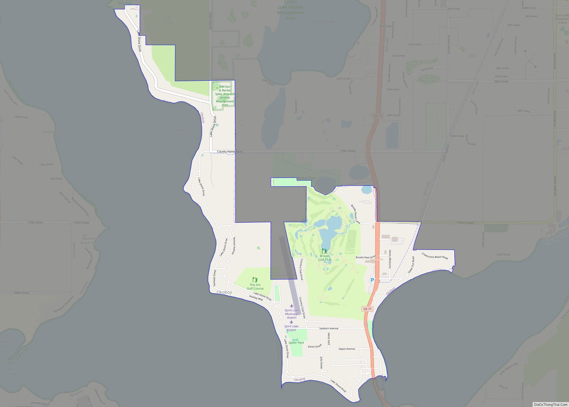
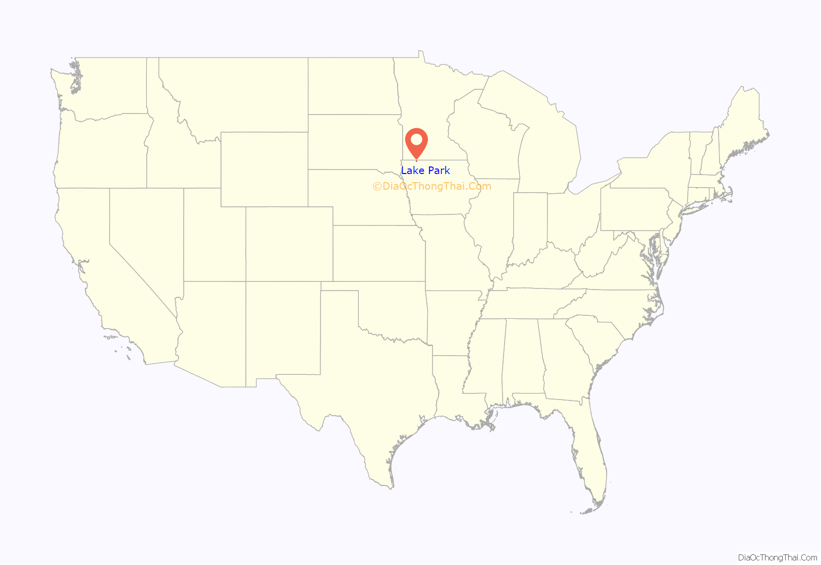
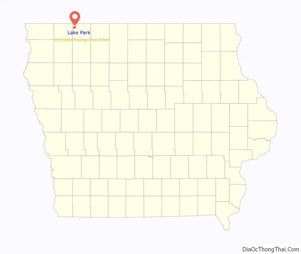
Lake Park location map. Where is Lake Park city?
History
Lake Park had its start in the year 1882 by the building of the Burlington, Cedar Rapids and Northern Railway through that territory. Lake Park was incorporated in 1892.
On January 1, 1931, the new State Theatre was officially opened. In 1942, a tornado swept through the area, destroying many farm buildings. A new water treatment plant was built in 1970. In September 1980, Lake Park gained its own ambulance. On July 2, 2002, voters in the Harris–Lake Park School District approved a $4 million bond issue for the construction of a new educational facility on Lake Park’s south side. In addition to the development of a new community center, shared public/school library and athletic fields were planned in the city. In 2003 an open house was held to officially open the new community center.
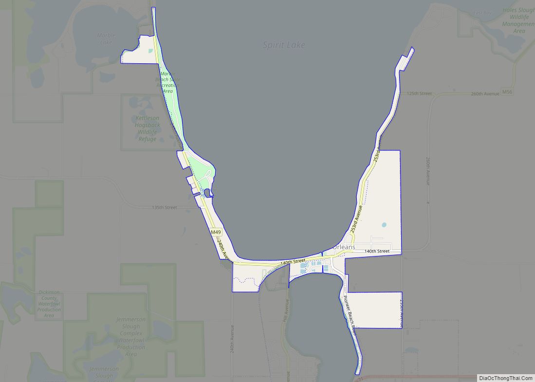
Lake Park Road Map
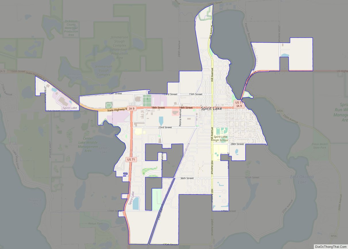
Lake Park city Satellite Map
Geography
According to the United States Census Bureau, the city has a total area of 1.61 square miles (4.17 km), of which 1.55 square miles (4.01 km) is land and 0.06 square miles (0.16 km) is water.
Climate
See also
Map of Iowa State and its subdivision:- Adair
- Adams
- Allamakee
- Appanoose
- Audubon
- Benton
- Black Hawk
- Boone
- Bremer
- Buchanan
- Buena Vista
- Butler
- Calhoun
- Carroll
- Cass
- Cedar
- Cerro Gordo
- Cherokee
- Chickasaw
- Clarke
- Clay
- Clayton
- Clinton
- Crawford
- Dallas
- Davis
- Decatur
- Delaware
- Des Moines
- Dickinson
- Dubuque
- Emmet
- Fayette
- Floyd
- Franklin
- Fremont
- Greene
- Grundy
- Guthrie
- Hamilton
- Hancock
- Hardin
- Harrison
- Henry
- Howard
- Humboldt
- Ida
- Iowa
- Jackson
- Jasper
- Jefferson
- Johnson
- Jones
- Keokuk
- Kossuth
- Lee
- Linn
- Louisa
- Lucas
- Lyon
- Madison
- Mahaska
- Marion
- Marshall
- Mills
- Mitchell
- Monona
- Monroe
- Montgomery
- Muscatine
- O'Brien
- Osceola
- Page
- Palo Alto
- Plymouth
- Pocahontas
- Polk
- Pottawattamie
- Poweshiek
- Ringgold
- Sac
- Scott
- Shelby
- Sioux
- Story
- Tama
- Taylor
- Union
- Van Buren
- Wapello
- Warren
- Washington
- Wayne
- Webster
- Winnebago
- Winneshiek
- Woodbury
- Worth
- Wright
- Alabama
- Alaska
- Arizona
- Arkansas
- California
- Colorado
- Connecticut
- Delaware
- District of Columbia
- Florida
- Georgia
- Hawaii
- Idaho
- Illinois
- Indiana
- Iowa
- Kansas
- Kentucky
- Louisiana
- Maine
- Maryland
- Massachusetts
- Michigan
- Minnesota
- Mississippi
- Missouri
- Montana
- Nebraska
- Nevada
- New Hampshire
- New Jersey
- New Mexico
- New York
- North Carolina
- North Dakota
- Ohio
- Oklahoma
- Oregon
- Pennsylvania
- Rhode Island
- South Carolina
- South Dakota
- Tennessee
- Texas
- Utah
- Vermont
- Virginia
- Washington
- West Virginia
- Wisconsin
- Wyoming