Le Grand, often written incorrectly as LeGrand (no space), is a city in Marshall and Tama counties in the U.S. state of Iowa. The population was 905 at the time of the 2020 census.
| Name: | Le Grand city |
|---|---|
| LSAD Code: | 25 |
| LSAD Description: | city (suffix) |
| State: | Iowa |
| County: | Marshall County, Tama County |
| Elevation: | 932 ft (284 m) |
| Total Area: | 1.05 sq mi (2.71 km²) |
| Land Area: | 1.04 sq mi (2.69 km²) |
| Water Area: | 0.01 sq mi (0.02 km²) |
| Total Population: | 905 |
| Population Density: | 871.03/sq mi (336.44/km²) |
| ZIP code: | 50142 |
| Area code: | 641 |
| FIPS code: | 1944220 |
| GNISfeature ID: | 0458254 |
| Website: | https://www.legrandiowa.com/ |
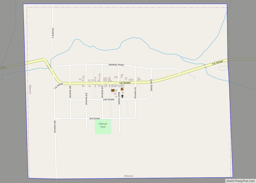
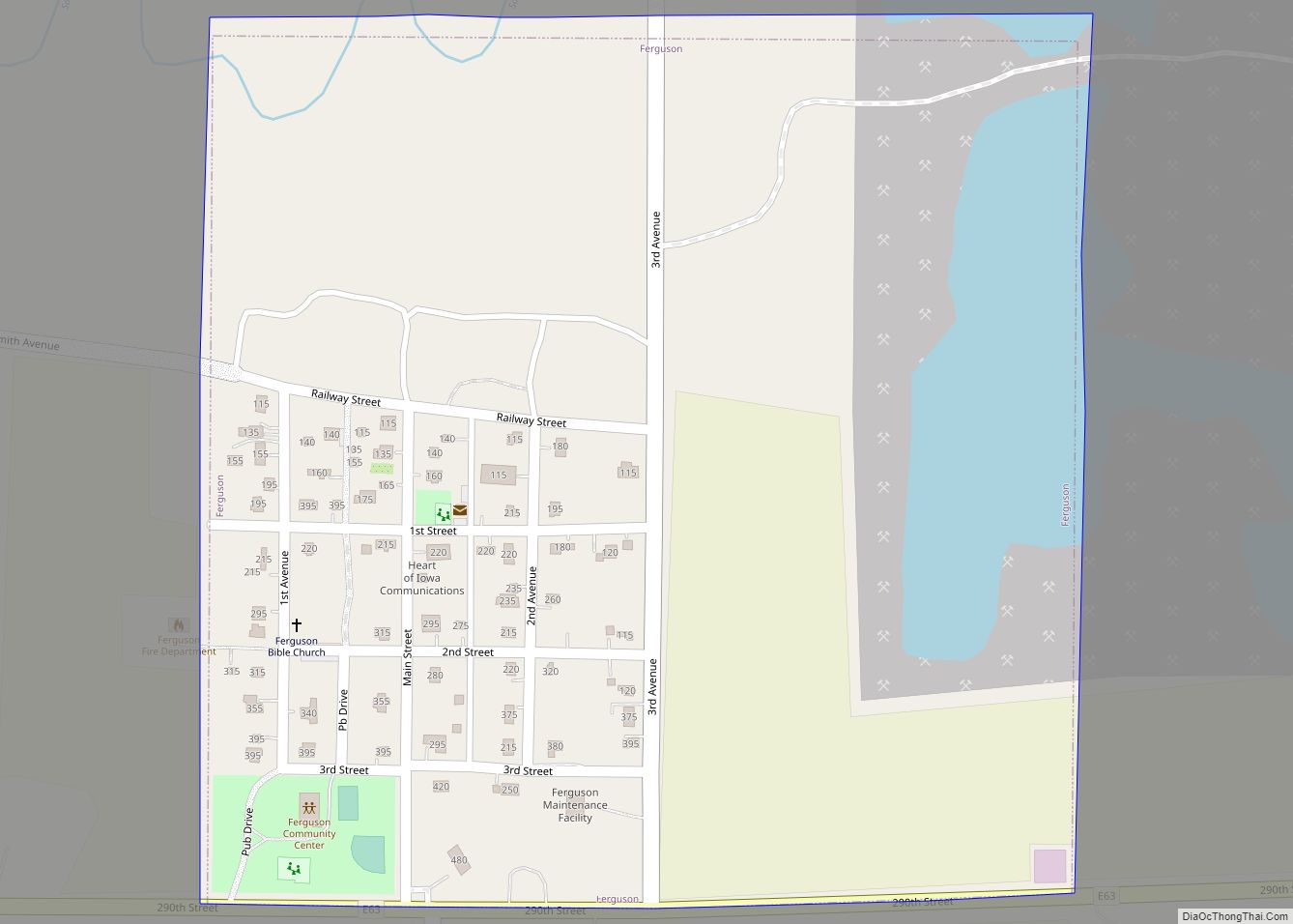
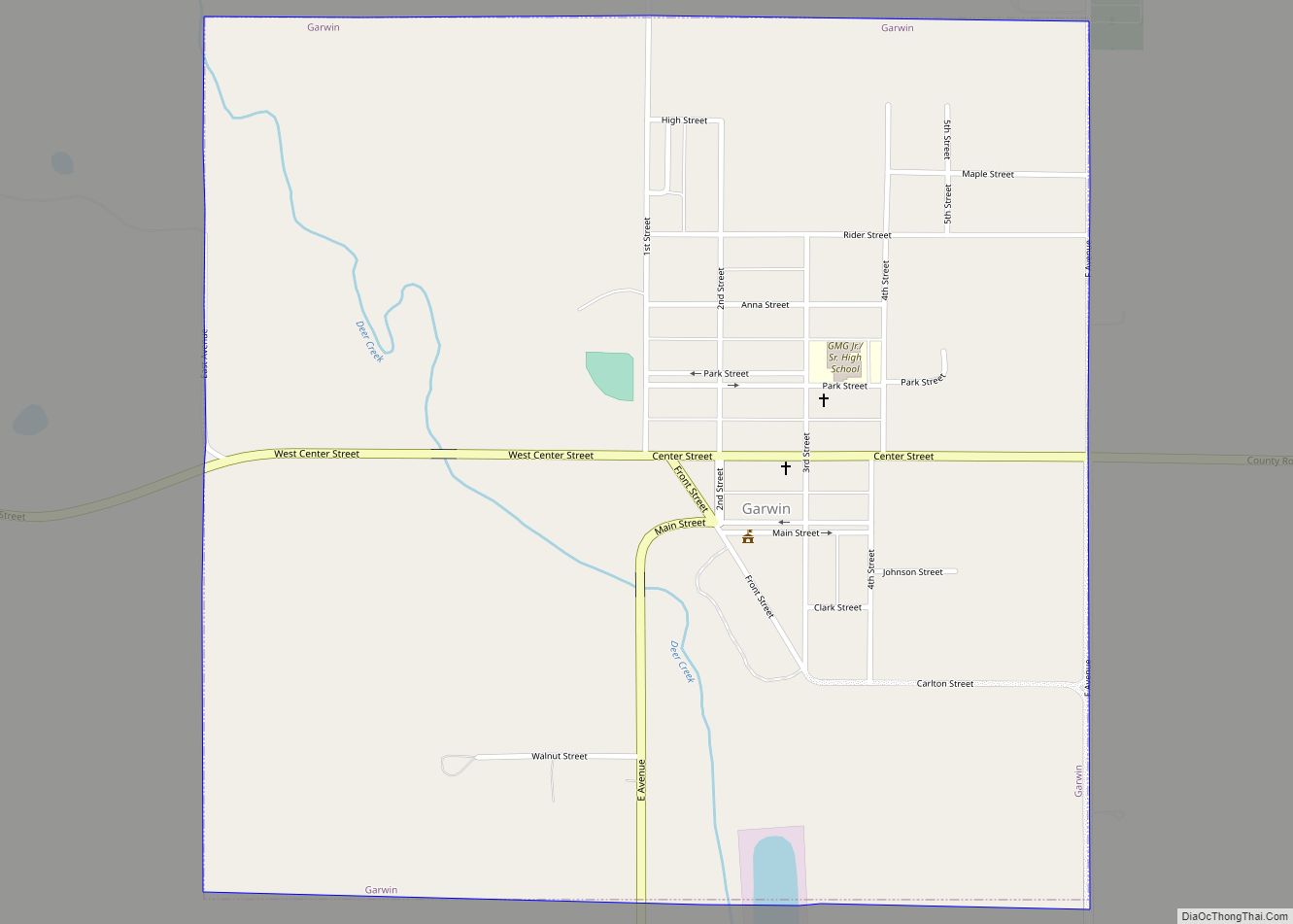
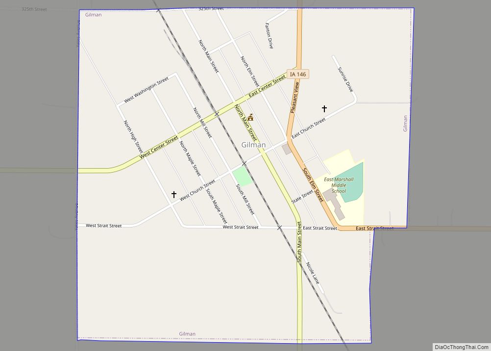
Online Interactive Map
Click on ![]() to view map in "full screen" mode.
to view map in "full screen" mode.
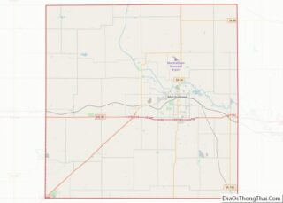
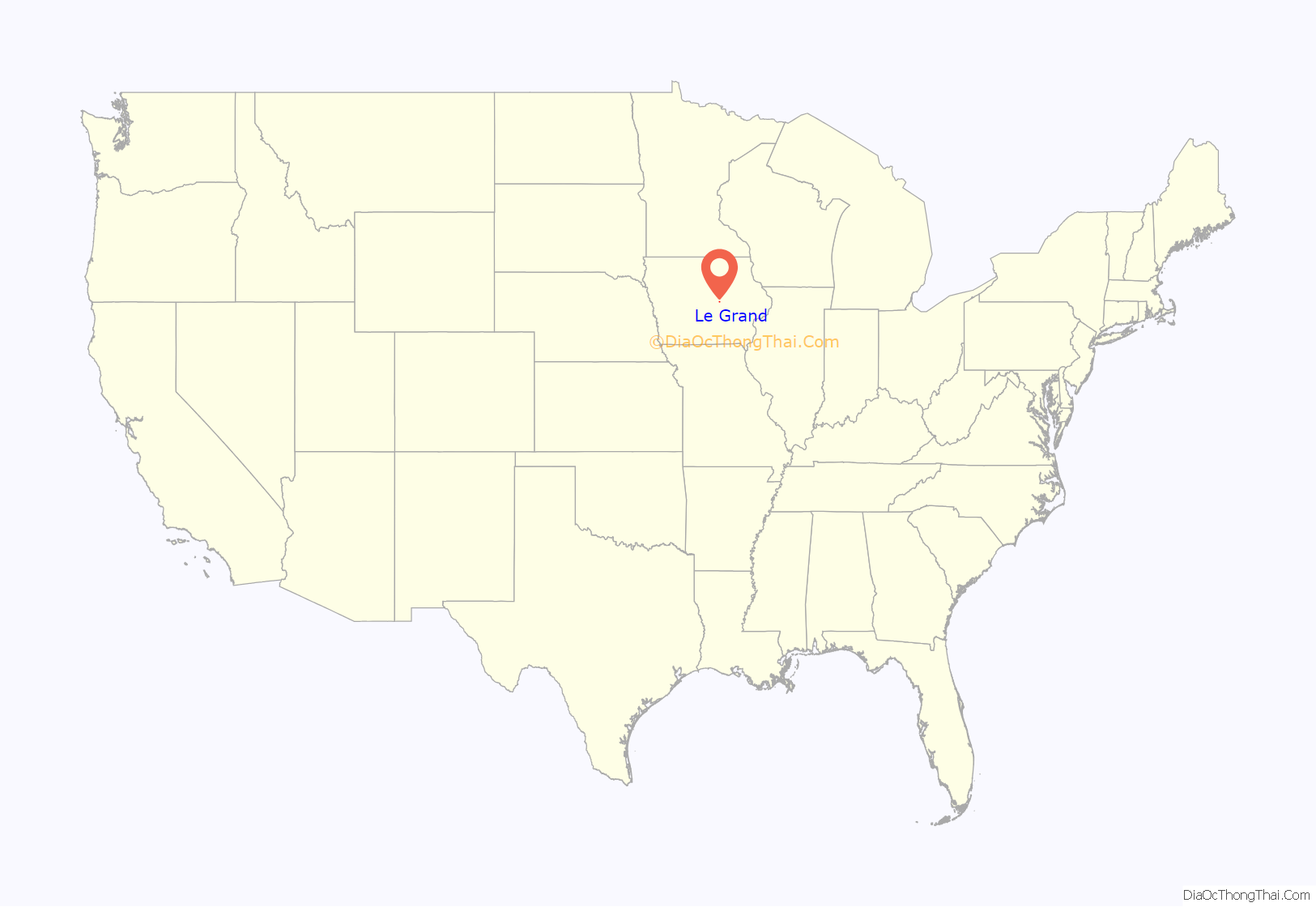
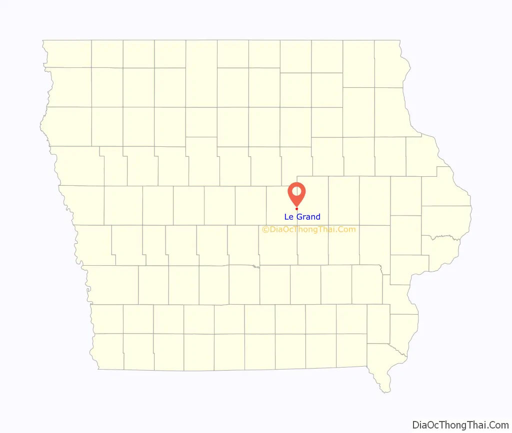
Le Grand location map. Where is Le Grand city?
History
Le Grand was laid out in 1852, and it was incorporated in 1891. The city was named for Le Grande Byington, the original owner of the town site.
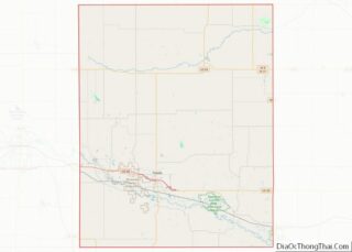
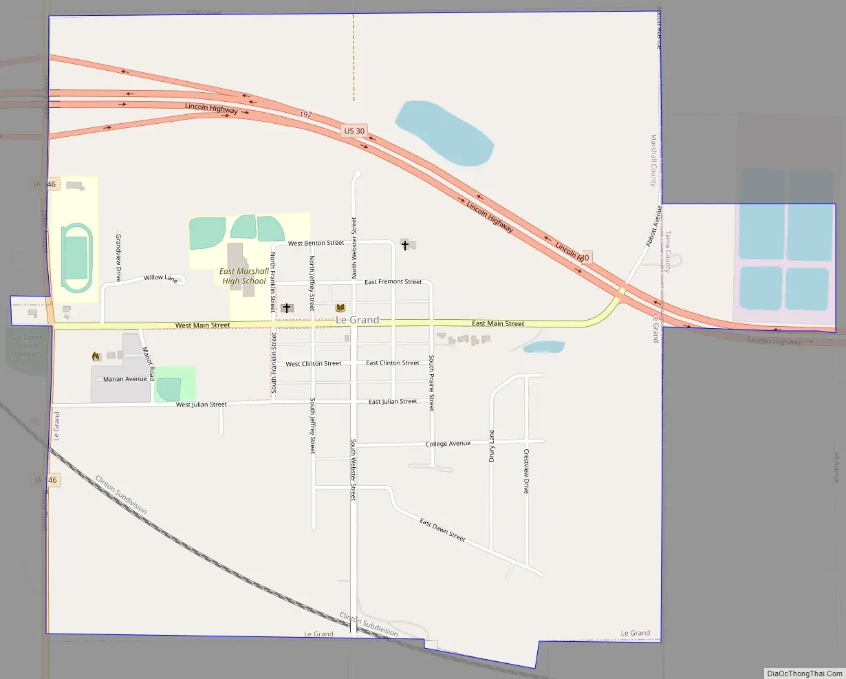
Le Grand Road Map
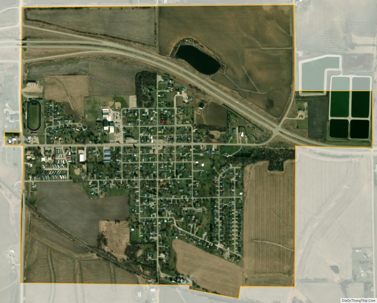
Le Grand city Satellite Map
Geography
Le Grand’s longitude and latitude coordinates in decimal form are 42.006211, -92.776497.
According to the United States Census Bureau, the city has a total area of 1.05 square miles (2.72 km), of which 1.04 square miles (2.69 km) is land and 0.01 square miles (0.03 km) is water.
See also
Map of Iowa State and its subdivision:- Adair
- Adams
- Allamakee
- Appanoose
- Audubon
- Benton
- Black Hawk
- Boone
- Bremer
- Buchanan
- Buena Vista
- Butler
- Calhoun
- Carroll
- Cass
- Cedar
- Cerro Gordo
- Cherokee
- Chickasaw
- Clarke
- Clay
- Clayton
- Clinton
- Crawford
- Dallas
- Davis
- Decatur
- Delaware
- Des Moines
- Dickinson
- Dubuque
- Emmet
- Fayette
- Floyd
- Franklin
- Fremont
- Greene
- Grundy
- Guthrie
- Hamilton
- Hancock
- Hardin
- Harrison
- Henry
- Howard
- Humboldt
- Ida
- Iowa
- Jackson
- Jasper
- Jefferson
- Johnson
- Jones
- Keokuk
- Kossuth
- Lee
- Linn
- Louisa
- Lucas
- Lyon
- Madison
- Mahaska
- Marion
- Marshall
- Mills
- Mitchell
- Monona
- Monroe
- Montgomery
- Muscatine
- O'Brien
- Osceola
- Page
- Palo Alto
- Plymouth
- Pocahontas
- Polk
- Pottawattamie
- Poweshiek
- Ringgold
- Sac
- Scott
- Shelby
- Sioux
- Story
- Tama
- Taylor
- Union
- Van Buren
- Wapello
- Warren
- Washington
- Wayne
- Webster
- Winnebago
- Winneshiek
- Woodbury
- Worth
- Wright
- Alabama
- Alaska
- Arizona
- Arkansas
- California
- Colorado
- Connecticut
- Delaware
- District of Columbia
- Florida
- Georgia
- Hawaii
- Idaho
- Illinois
- Indiana
- Iowa
- Kansas
- Kentucky
- Louisiana
- Maine
- Maryland
- Massachusetts
- Michigan
- Minnesota
- Mississippi
- Missouri
- Montana
- Nebraska
- Nevada
- New Hampshire
- New Jersey
- New Mexico
- New York
- North Carolina
- North Dakota
- Ohio
- Oklahoma
- Oregon
- Pennsylvania
- Rhode Island
- South Carolina
- South Dakota
- Tennessee
- Texas
- Utah
- Vermont
- Virginia
- Washington
- West Virginia
- Wisconsin
- Wyoming