Martinsburg is a city in Keokuk County, Iowa, United States. The population was 110 at the time of the 2020 census. The only businesses open to the public in Martinsburg is McBeth Wrecker and Auto Service and a gas station/convenience store.
| Name: | Martinsburg city |
|---|---|
| LSAD Code: | 25 |
| LSAD Description: | city (suffix) |
| State: | Iowa |
| County: | Keokuk County |
| Elevation: | 804 ft (245 m) |
| Total Area: | 0.37 sq mi (0.97 km²) |
| Land Area: | 0.37 sq mi (0.97 km²) |
| Water Area: | 0.00 sq mi (0.00 km²) |
| Total Population: | 110 |
| Population Density: | 294.12/sq mi (113.48/km²) |
| ZIP code: | 52568 |
| Area code: | 319 |
| FIPS code: | 1949935 |
| GNISfeature ID: | 0458833 |
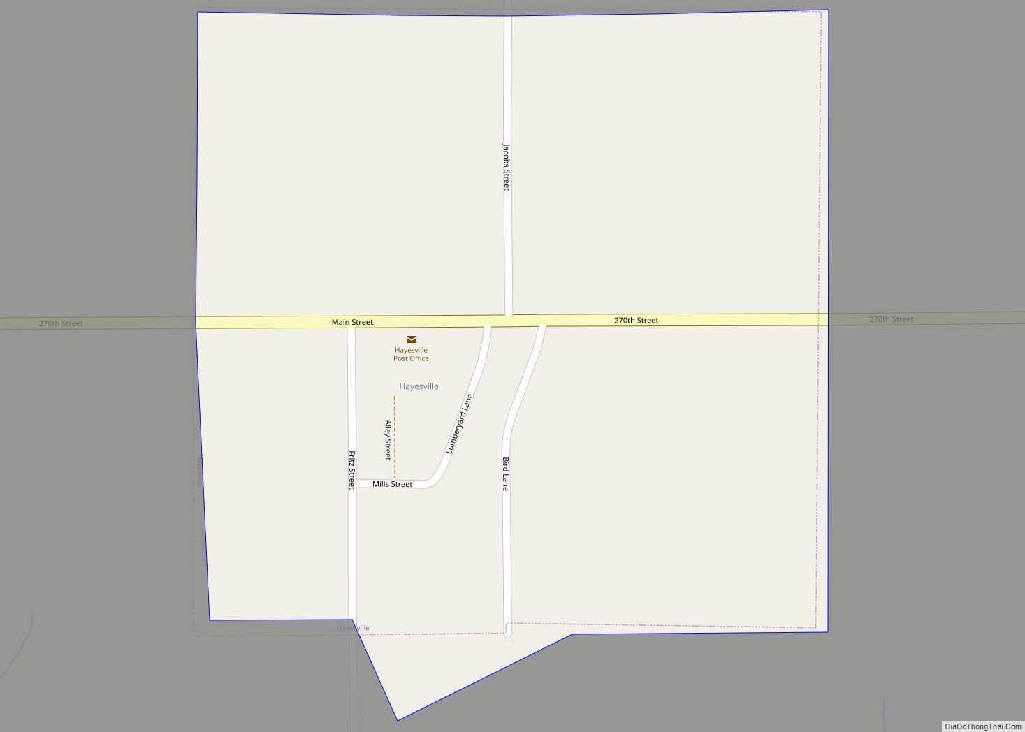
Online Interactive Map
Click on ![]() to view map in "full screen" mode.
to view map in "full screen" mode.
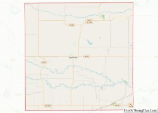
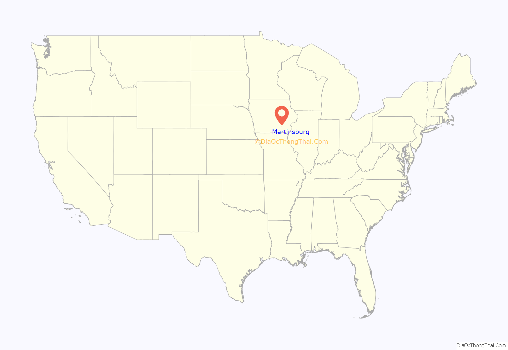
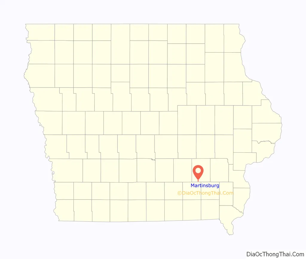
Martinsburg location map. Where is Martinsburg city?
History
In 1861, Martinsburg was a half-mile long row of houses mostly on the north side of the road. In 1874, Martinsburg had two general stores, a hotel, and a Presbyterian church. There were two physicians, and a wagonmaker who also had a vinyard. The proprietors of a nearby sawmill and grain mill also lived in town.
The Burlington and Western Railway arrived in Martinsburg in late 1882. This was a narrow gauge line, widened to standard gauge in 1902 and taken over by the Chicago, Burlington and Quincy. The Minneapolis and St. Louis arrived in Martinsburg at about the same time. The two lines passed a few blocks north of the original town center, paralleling each other west of town, and diverging to the east. The CB&Q tracks through Martinsburg were sold to in 1934 to the M&StL.
By 1887, Martinsburg had been expanded by 5 subdivisions and it had gained a second church, a second hotel and a post office. In addition to the two railroad depots, there was a brickworks that mostly made drainage tile, served by the Iowa Central, and a creamery, a gristmill and a grain elevator, served by the Burlington and Western.
In 2023, the city was struck by an EF-3 rated tornado.
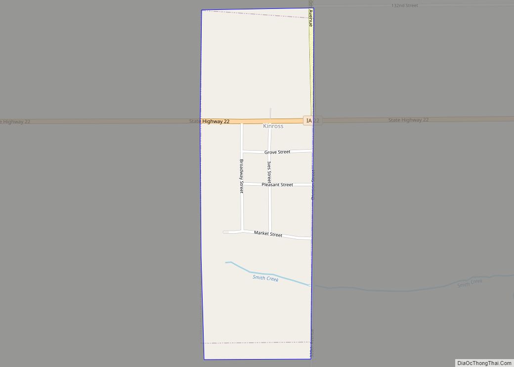
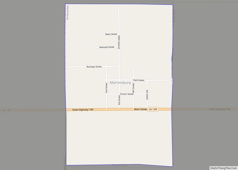
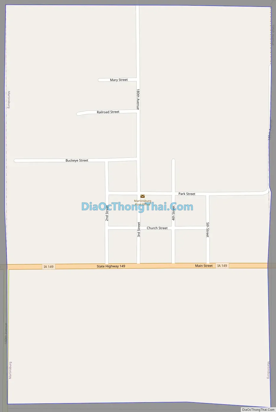
Martinsburg Road Map
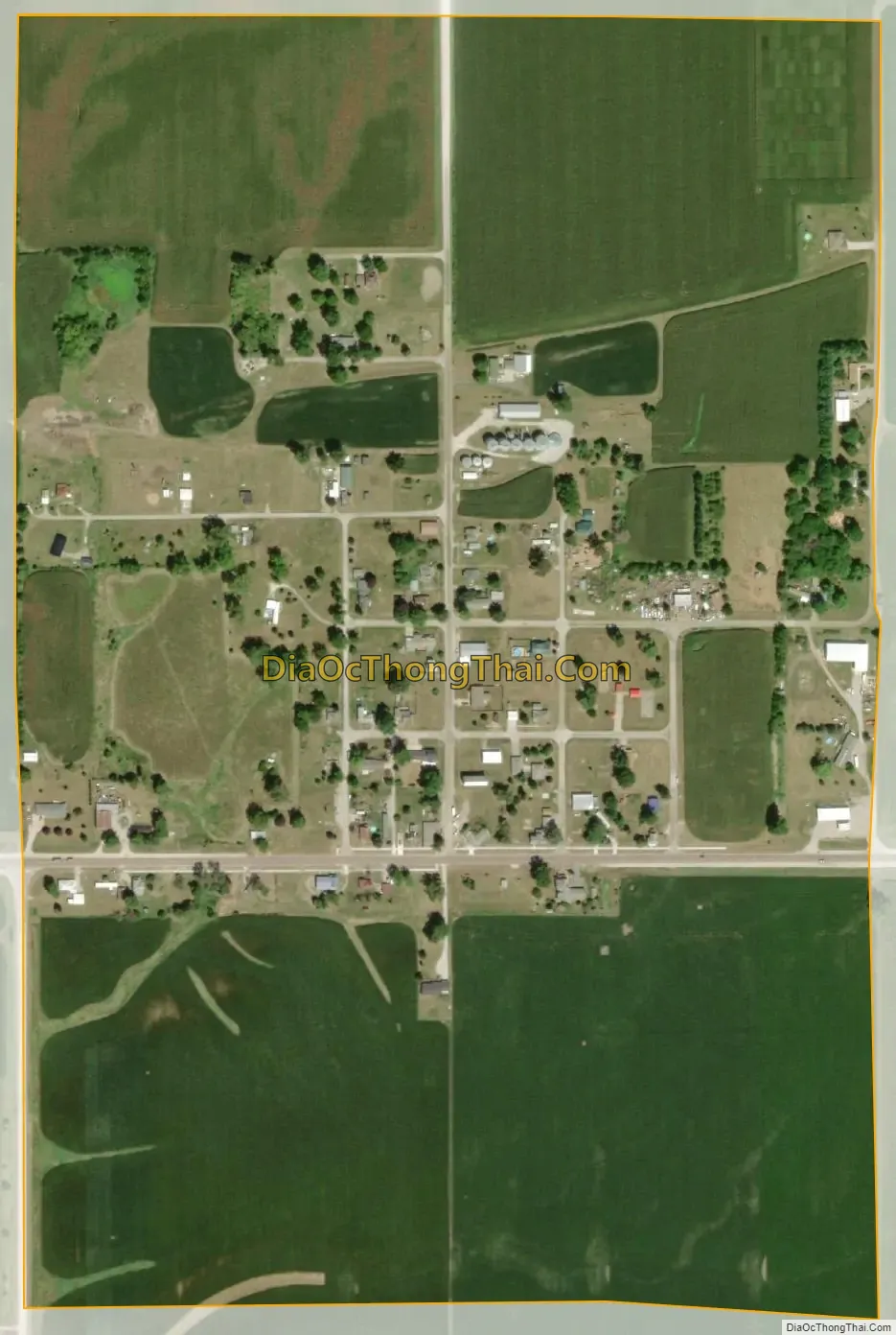
Martinsburg city Satellite Map
Geography
Martinsburg is located at 41°10′42″N 92°15′5″W / 41.17833°N 92.25139°W / 41.17833; -92.25139 (41.178350, -92.251326).
According to the United States Census Bureau, the city has a total area of 0.38 square miles (0.98 km), all of it land.
See also
Map of Iowa State and its subdivision:- Adair
- Adams
- Allamakee
- Appanoose
- Audubon
- Benton
- Black Hawk
- Boone
- Bremer
- Buchanan
- Buena Vista
- Butler
- Calhoun
- Carroll
- Cass
- Cedar
- Cerro Gordo
- Cherokee
- Chickasaw
- Clarke
- Clay
- Clayton
- Clinton
- Crawford
- Dallas
- Davis
- Decatur
- Delaware
- Des Moines
- Dickinson
- Dubuque
- Emmet
- Fayette
- Floyd
- Franklin
- Fremont
- Greene
- Grundy
- Guthrie
- Hamilton
- Hancock
- Hardin
- Harrison
- Henry
- Howard
- Humboldt
- Ida
- Iowa
- Jackson
- Jasper
- Jefferson
- Johnson
- Jones
- Keokuk
- Kossuth
- Lee
- Linn
- Louisa
- Lucas
- Lyon
- Madison
- Mahaska
- Marion
- Marshall
- Mills
- Mitchell
- Monona
- Monroe
- Montgomery
- Muscatine
- O'Brien
- Osceola
- Page
- Palo Alto
- Plymouth
- Pocahontas
- Polk
- Pottawattamie
- Poweshiek
- Ringgold
- Sac
- Scott
- Shelby
- Sioux
- Story
- Tama
- Taylor
- Union
- Van Buren
- Wapello
- Warren
- Washington
- Wayne
- Webster
- Winnebago
- Winneshiek
- Woodbury
- Worth
- Wright
- Alabama
- Alaska
- Arizona
- Arkansas
- California
- Colorado
- Connecticut
- Delaware
- District of Columbia
- Florida
- Georgia
- Hawaii
- Idaho
- Illinois
- Indiana
- Iowa
- Kansas
- Kentucky
- Louisiana
- Maine
- Maryland
- Massachusetts
- Michigan
- Minnesota
- Mississippi
- Missouri
- Montana
- Nebraska
- Nevada
- New Hampshire
- New Jersey
- New Mexico
- New York
- North Carolina
- North Dakota
- Ohio
- Oklahoma
- Oregon
- Pennsylvania
- Rhode Island
- South Carolina
- South Dakota
- Tennessee
- Texas
- Utah
- Vermont
- Virginia
- Washington
- West Virginia
- Wisconsin
- Wyoming