Merrill is a city in Plymouth County, Iowa, United States, along the Floyd River. The population was 717 at the time of the 2020 census.
| Name: | Merrill city |
|---|---|
| LSAD Code: | 25 |
| LSAD Description: | city (suffix) |
| State: | Iowa |
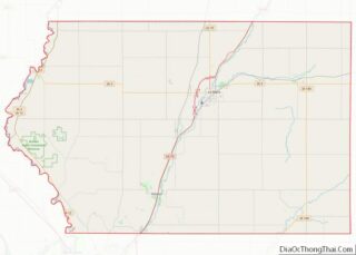
| County: | Plymouth County |
| Incorporated: | April 24, 1894 |
| Elevation: | 1,175 ft (358 m) |
| Total Area: | 0.52 sq mi (1.34 km²) |
| Land Area: | 0.52 sq mi (1.34 km²) |
| Water Area: | 0.00 sq mi (0.00 km²) |
| Total Population: | 717 |
| Population Density: | 1,381.50/sq mi (533.73/km²) |
| ZIP code: | 51038 |
| Area code: | 712 |
| FIPS code: | 1951375 |
| GNISfeature ID: | 0459005 |
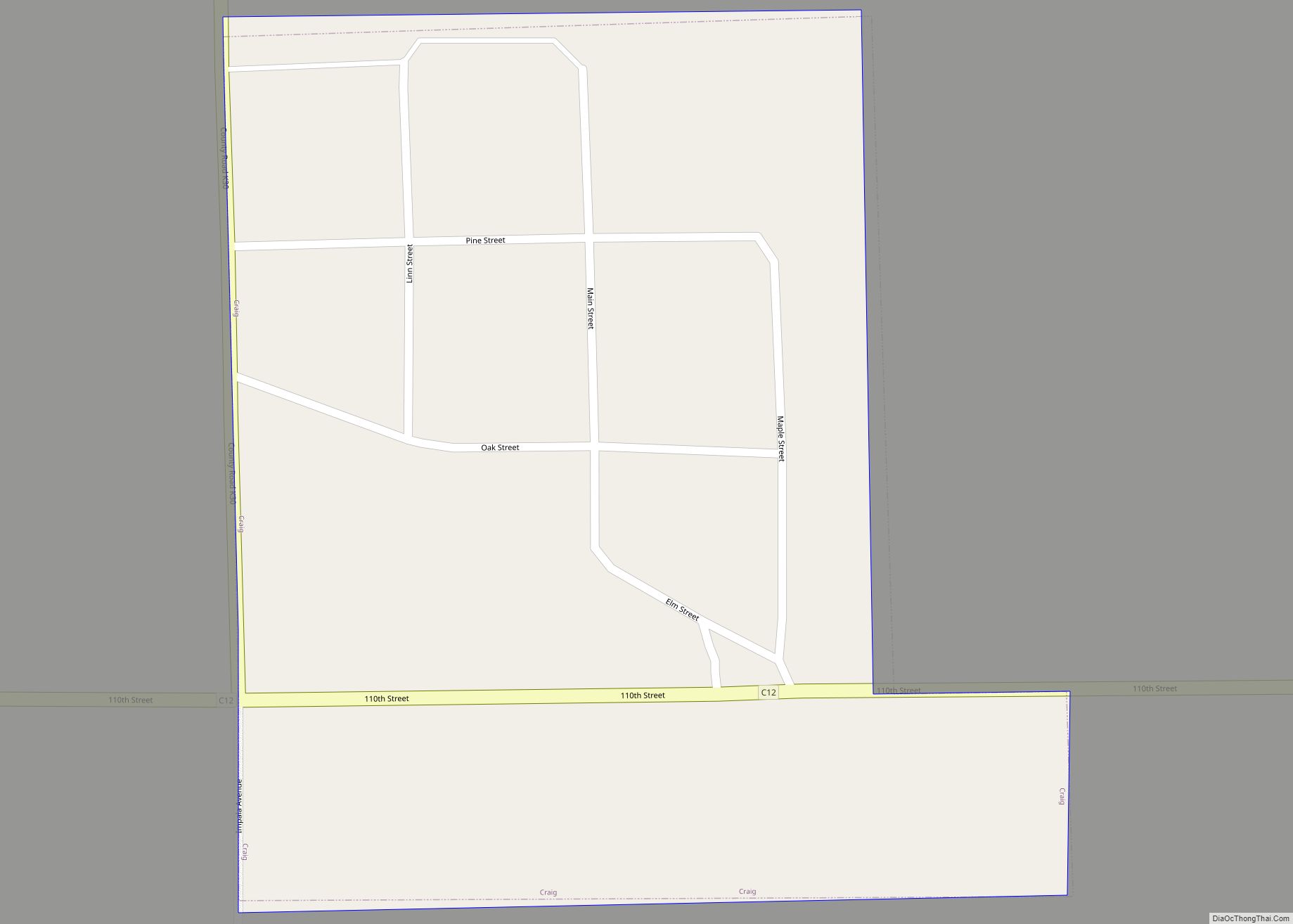
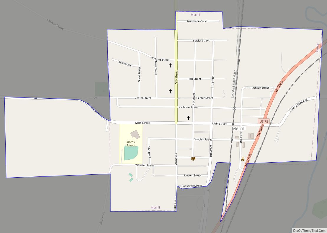
Online Interactive Map
Click on ![]() to view map in "full screen" mode.
to view map in "full screen" mode.
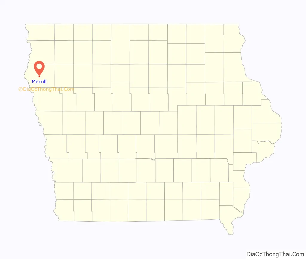
Merrill location map. Where is Merrill city?

History
Merrill was named in 1872 for the seventh Governor of Iowa, Samuel Merrill. It and became an incorporated city on April 24, 1894.
In 2007, the city hired Drake University public relations seniors to research and develop strategies to attract new residents.
Merrill Road Map
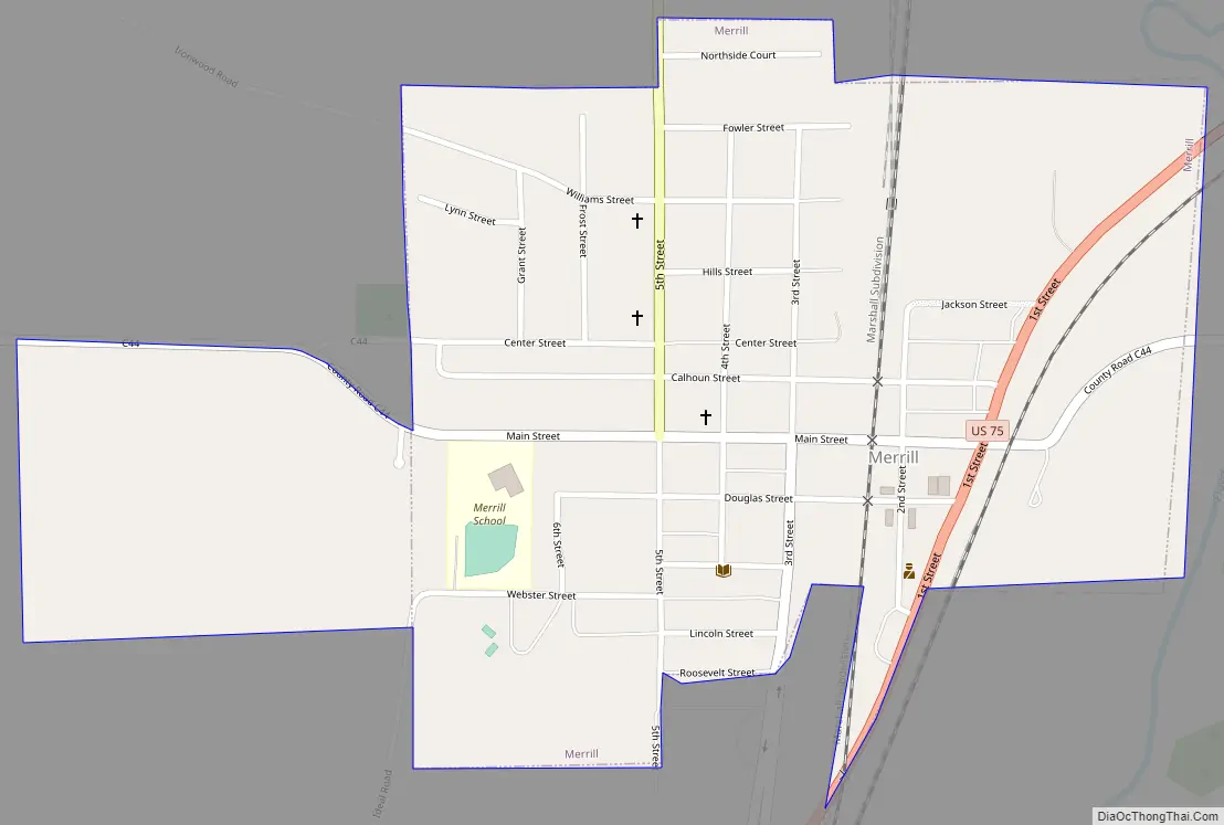
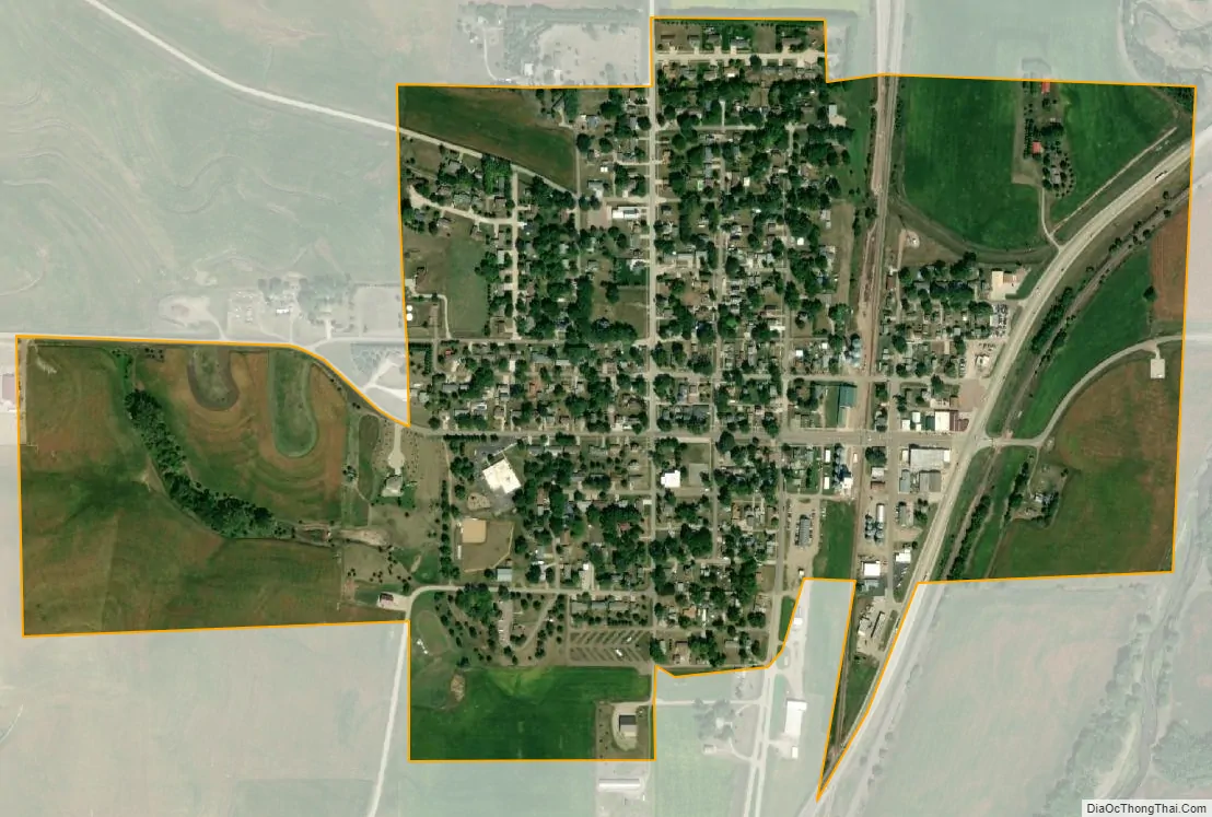
Merrill city Satellite Map
Geography
Merrill is located at 42°43′17″N 96°15′3″W / 42.72139°N 96.25083°W / 42.72139; -96.25083 (42.721461, -96.250779).
According to the United States Census Bureau, the city has a total area of 0.57 square miles (1.48 km), all land. It is located near the Floyd River, and is on U.S. Route 75, 20 minutes north of Sioux City.
See also
Map of Iowa State and its subdivision:- Adair
- Adams
- Allamakee
- Appanoose
- Audubon
- Benton
- Black Hawk
- Boone
- Bremer
- Buchanan
- Buena Vista
- Butler
- Calhoun
- Carroll
- Cass
- Cedar
- Cerro Gordo
- Cherokee
- Chickasaw
- Clarke
- Clay
- Clayton
- Clinton
- Crawford
- Dallas
- Davis
- Decatur
- Delaware
- Des Moines
- Dickinson
- Dubuque
- Emmet
- Fayette
- Floyd
- Franklin
- Fremont
- Greene
- Grundy
- Guthrie
- Hamilton
- Hancock
- Hardin
- Harrison
- Henry
- Howard
- Humboldt
- Ida
- Iowa
- Jackson
- Jasper
- Jefferson
- Johnson
- Jones
- Keokuk
- Kossuth
- Lee
- Linn
- Louisa
- Lucas
- Lyon
- Madison
- Mahaska
- Marion
- Marshall
- Mills
- Mitchell
- Monona
- Monroe
- Montgomery
- Muscatine
- O'Brien
- Osceola
- Page
- Palo Alto
- Plymouth
- Pocahontas
- Polk
- Pottawattamie
- Poweshiek
- Ringgold
- Sac
- Scott
- Shelby
- Sioux
- Story
- Tama
- Taylor
- Union
- Van Buren
- Wapello
- Warren
- Washington
- Wayne
- Webster
- Winnebago
- Winneshiek
- Woodbury
- Worth
- Wright
- Alabama
- Alaska
- Arizona
- Arkansas
- California
- Colorado
- Connecticut
- Delaware
- District of Columbia
- Florida
- Georgia
- Hawaii
- Idaho
- Illinois
- Indiana
- Iowa
- Kansas
- Kentucky
- Louisiana
- Maine
- Maryland
- Massachusetts
- Michigan
- Minnesota
- Mississippi
- Missouri
- Montana
- Nebraska
- Nevada
- New Hampshire
- New Jersey
- New Mexico
- New York
- North Carolina
- North Dakota
- Ohio
- Oklahoma
- Oregon
- Pennsylvania
- Rhode Island
- South Carolina
- South Dakota
- Tennessee
- Texas
- Utah
- Vermont
- Virginia
- Washington
- West Virginia
- Wisconsin
- Wyoming