New Haven is an unincorporated community and census-designated place in Mitchell County, Iowa, United States. As of the 2020 census the population of New Haven was 77.
| Name: | New Haven CDP |
|---|---|
| LSAD Code: | 57 |
| LSAD Description: | CDP (suffix) |
| State: | Iowa |
| County: | Mitchell County |
| Elevation: | 1,119 ft (341 m) |
| Total Area: | 1.93 sq mi (4.99 km²) |
| Land Area: | 1.93 sq mi (4.99 km²) |
| Water Area: | 0.00 sq mi (0.00 km²) |
| Total Population: | 77 |
| Population Density: | 39.96/sq mi (15.43/km²) |
| ZIP code: | 50461 (Osage) |
| Area code: | 641 |
| FIPS code: | 1956190 |
| GNISfeature ID: | 459476 |
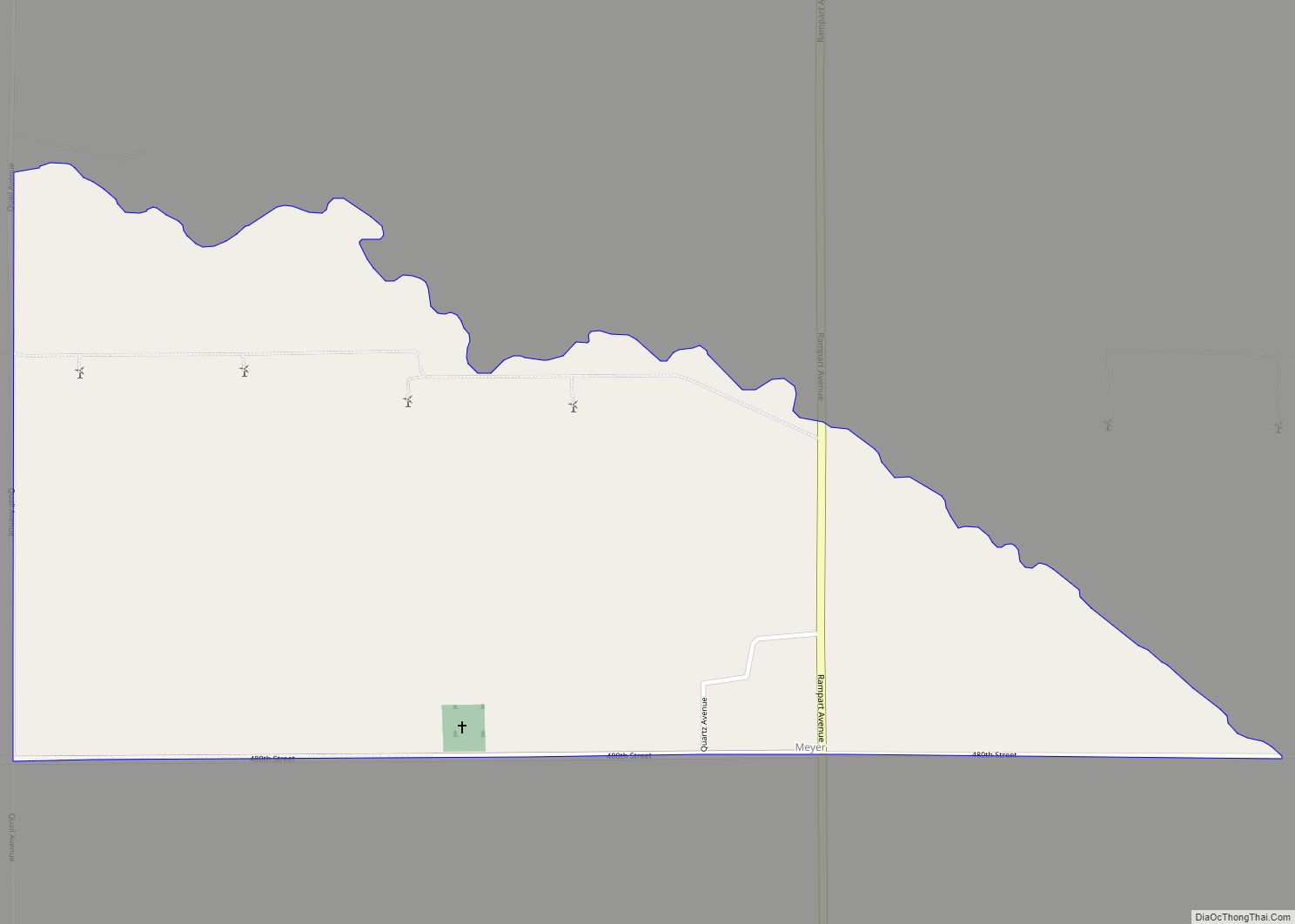
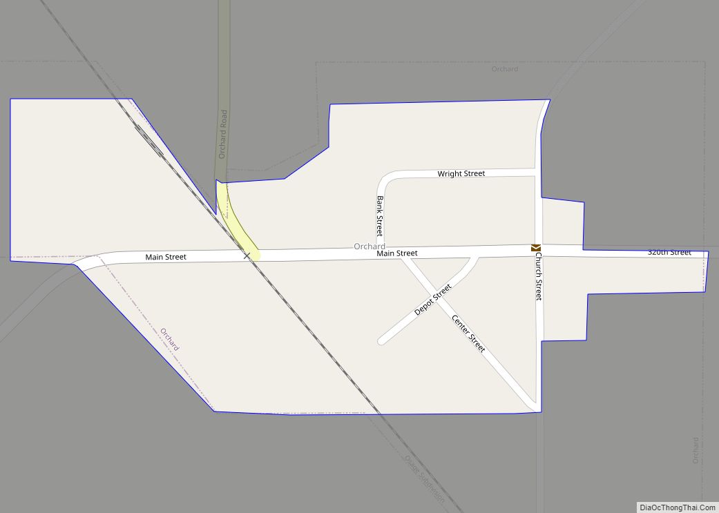
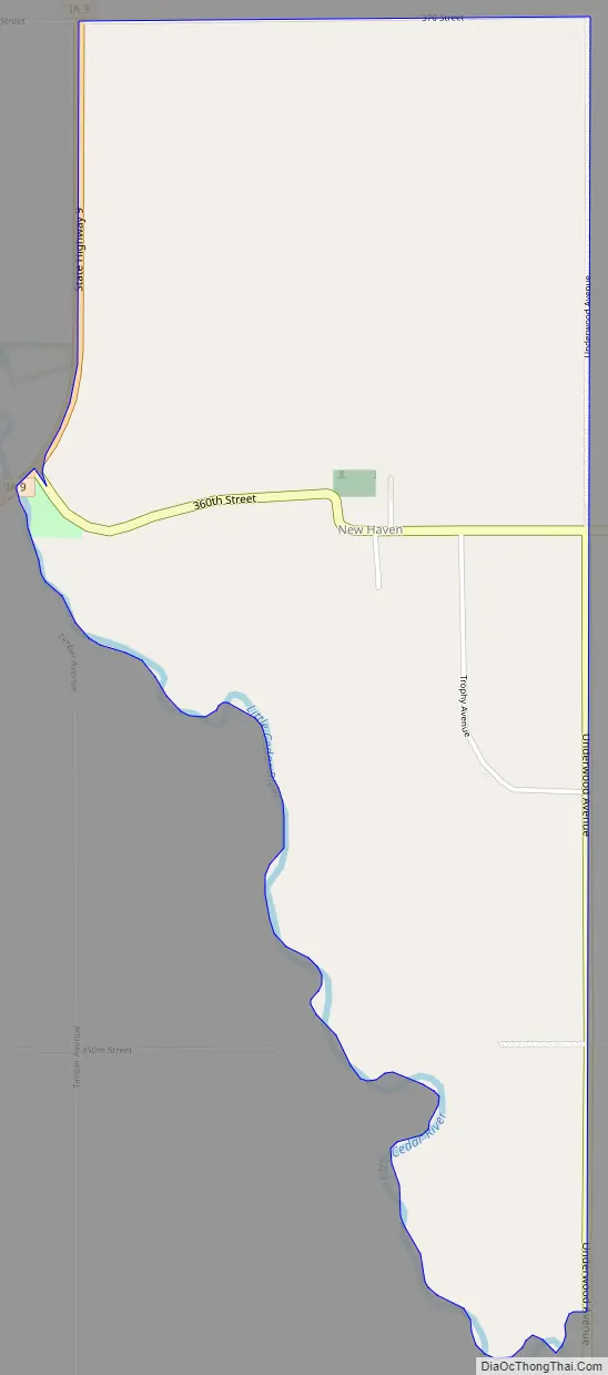
Online Interactive Map
Click on ![]() to view map in "full screen" mode.
to view map in "full screen" mode.
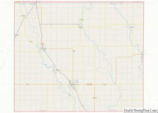
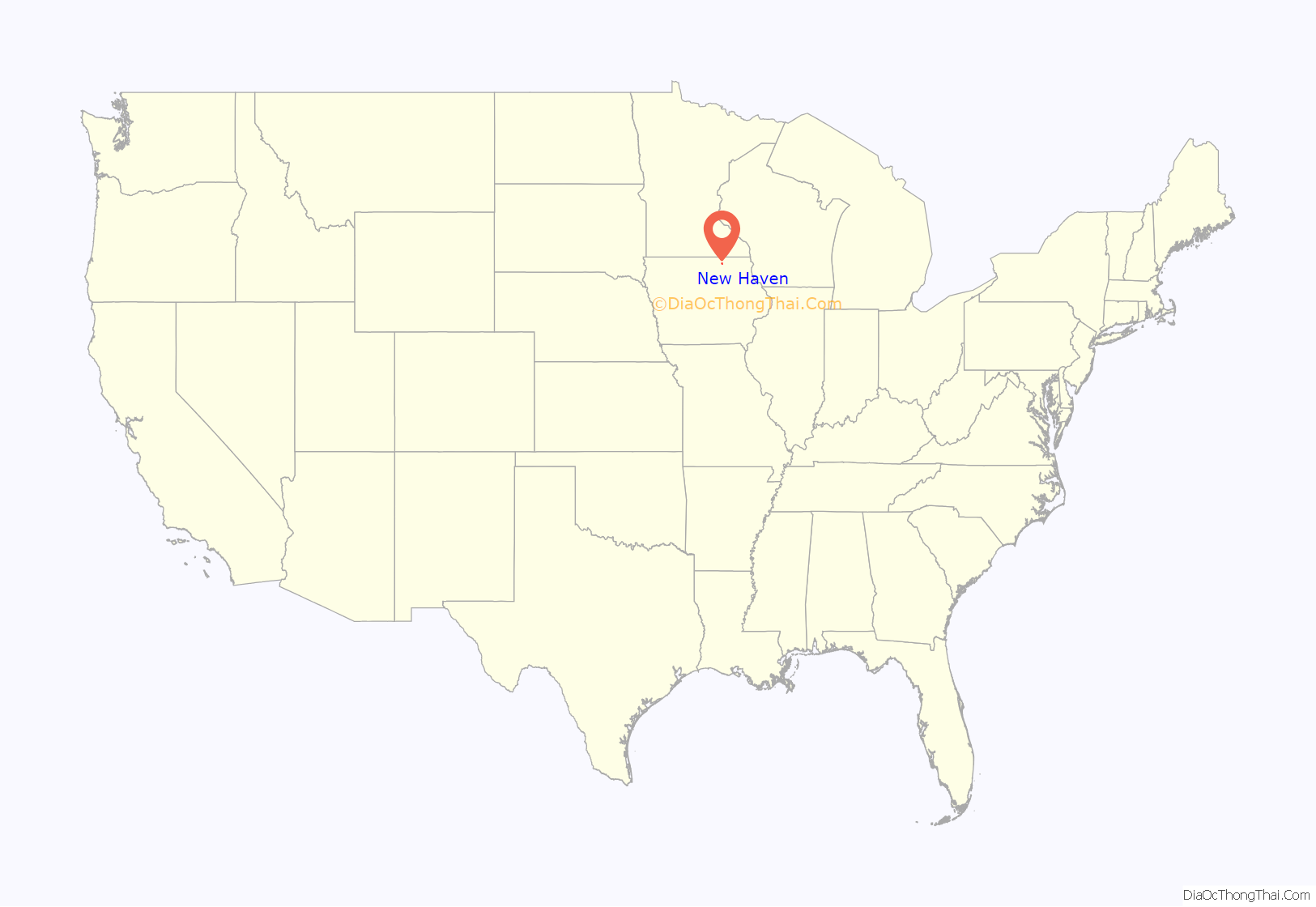
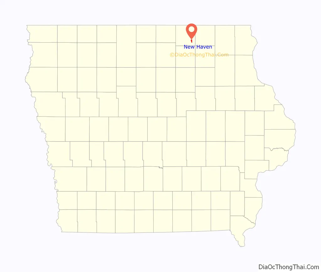
New Haven location map. Where is New Haven CDP?
History
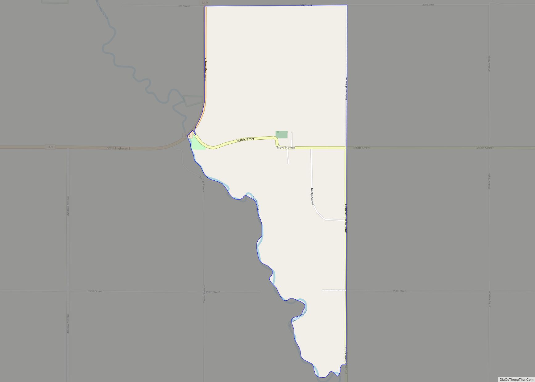
New Haven was first settled circa 1883; there had been a general store at the site since 1878. New Haven’s population was 19 in 1902, and 27 in 1925.
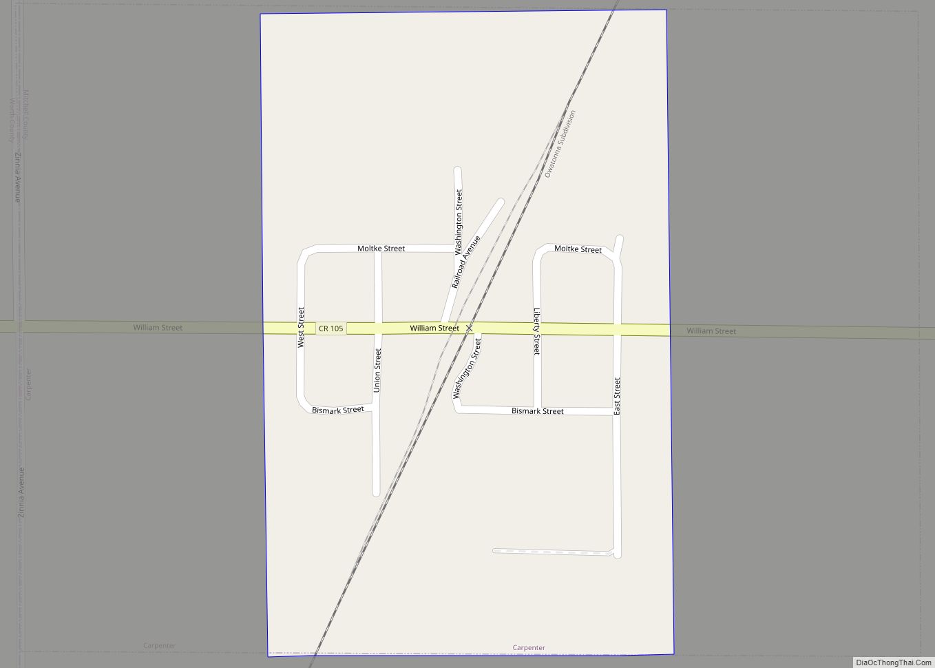
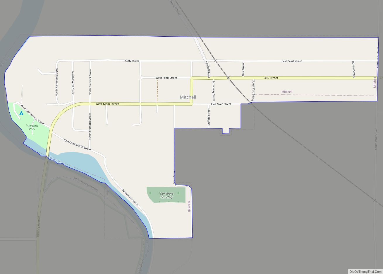
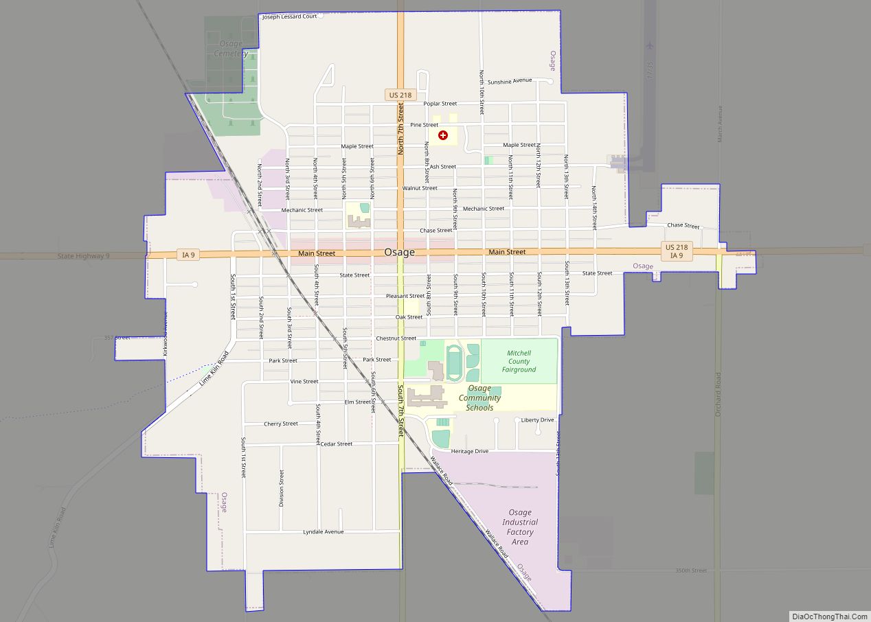
New Haven Road Map
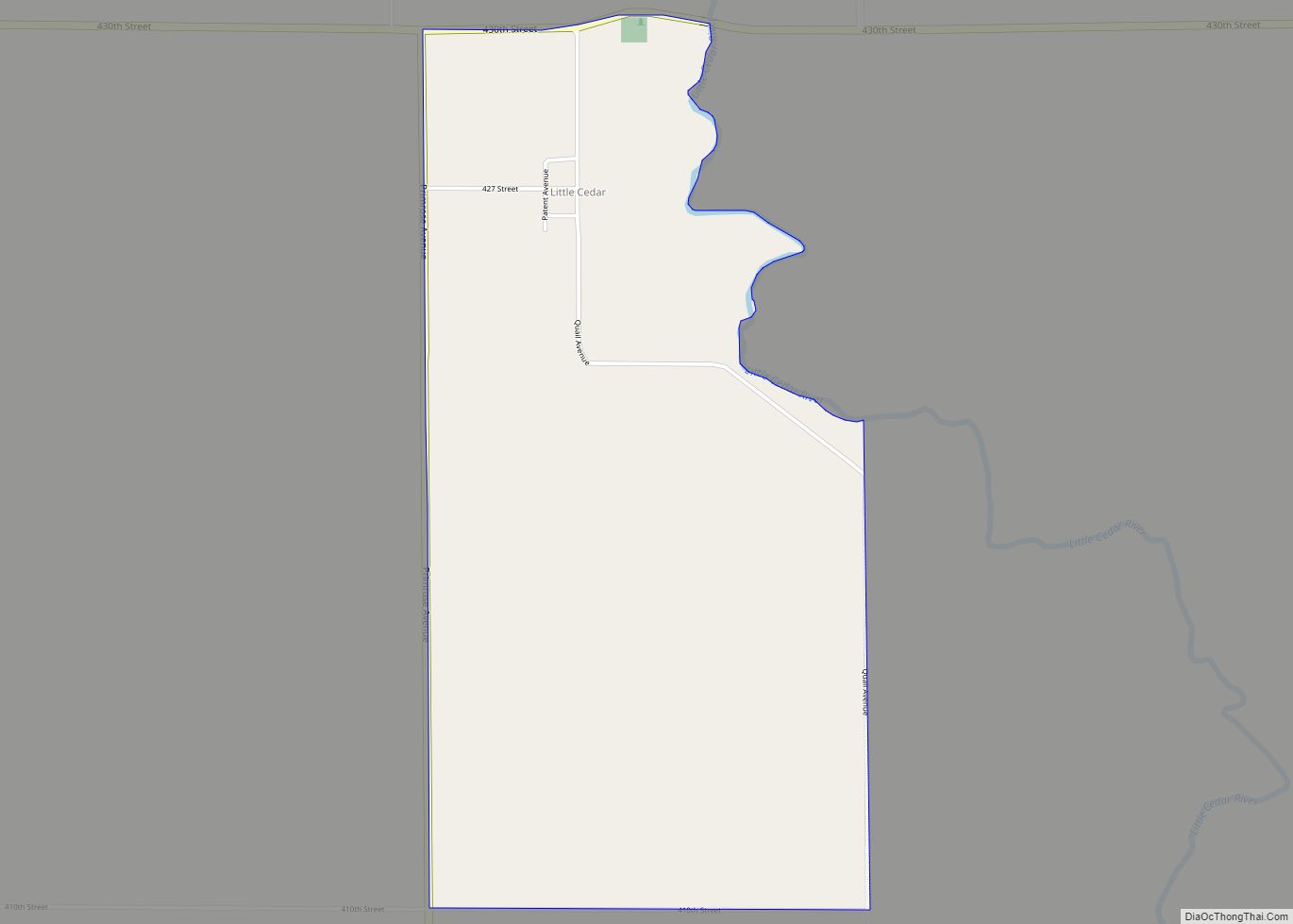
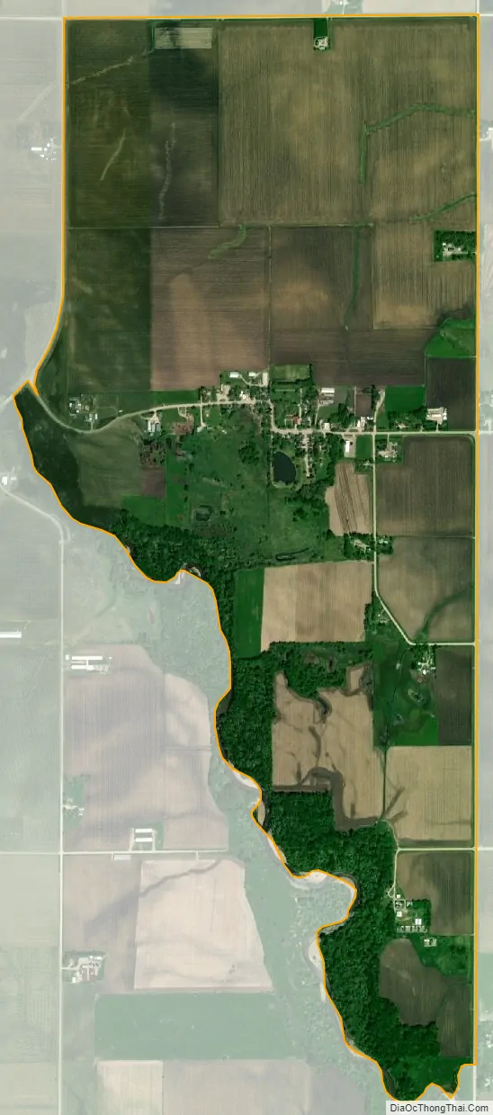
New Haven city Satellite Map
Geography
New Haven is in southeastern Mitchell County, 9 miles (14 km) east of Osage, the county seat and post office serving New Haven. Iowa Highway 9 runs along the western edge of the community, leading west to Osage and northeast 10 miles (16 km) to Riceville.
According to the U.S. Census Bureau, the New Haven CDP has an area of 1.93 square miles (5.00 km), all land. The Little Cedar River runs along the southwest edge of the CDP, flowing south to the Cedar River at Nashua.
See also
Map of Iowa State and its subdivision:- Adair
- Adams
- Allamakee
- Appanoose
- Audubon
- Benton
- Black Hawk
- Boone
- Bremer
- Buchanan
- Buena Vista
- Butler
- Calhoun
- Carroll
- Cass
- Cedar
- Cerro Gordo
- Cherokee
- Chickasaw
- Clarke
- Clay
- Clayton
- Clinton
- Crawford
- Dallas
- Davis
- Decatur
- Delaware
- Des Moines
- Dickinson
- Dubuque
- Emmet
- Fayette
- Floyd
- Franklin
- Fremont
- Greene
- Grundy
- Guthrie
- Hamilton
- Hancock
- Hardin
- Harrison
- Henry
- Howard
- Humboldt
- Ida
- Iowa
- Jackson
- Jasper
- Jefferson
- Johnson
- Jones
- Keokuk
- Kossuth
- Lee
- Linn
- Louisa
- Lucas
- Lyon
- Madison
- Mahaska
- Marion
- Marshall
- Mills
- Mitchell
- Monona
- Monroe
- Montgomery
- Muscatine
- O'Brien
- Osceola
- Page
- Palo Alto
- Plymouth
- Pocahontas
- Polk
- Pottawattamie
- Poweshiek
- Ringgold
- Sac
- Scott
- Shelby
- Sioux
- Story
- Tama
- Taylor
- Union
- Van Buren
- Wapello
- Warren
- Washington
- Wayne
- Webster
- Winnebago
- Winneshiek
- Woodbury
- Worth
- Wright
- Alabama
- Alaska
- Arizona
- Arkansas
- California
- Colorado
- Connecticut
- Delaware
- District of Columbia
- Florida
- Georgia
- Hawaii
- Idaho
- Illinois
- Indiana
- Iowa
- Kansas
- Kentucky
- Louisiana
- Maine
- Maryland
- Massachusetts
- Michigan
- Minnesota
- Mississippi
- Missouri
- Montana
- Nebraska
- Nevada
- New Hampshire
- New Jersey
- New Mexico
- New York
- North Carolina
- North Dakota
- Ohio
- Oklahoma
- Oregon
- Pennsylvania
- Rhode Island
- South Carolina
- South Dakota
- Tennessee
- Texas
- Utah
- Vermont
- Virginia
- Washington
- West Virginia
- Wisconsin
- Wyoming