Orchard is a city in Mitchell County, Iowa, United States. The population was 68 at the time of the 2020 census.
| Name: | Orchard city |
|---|---|
| LSAD Code: | 25 |
| LSAD Description: | city (suffix) |
| State: | Iowa |
| County: | Mitchell County |
| Elevation: | 1,102 ft (336 m) |
| Total Area: | 0.10 sq mi (0.26 km²) |
| Land Area: | 0.10 sq mi (0.26 km²) |
| Water Area: | 0.00 sq mi (0.00 km²) |
| Total Population: | 68 |
| Population Density: | 673.27/sq mi (258.82/km²) |
| ZIP code: | 50460 |
| Area code: | 641 |
| FIPS code: | 1959520 |
| GNISfeature ID: | 0459886 |
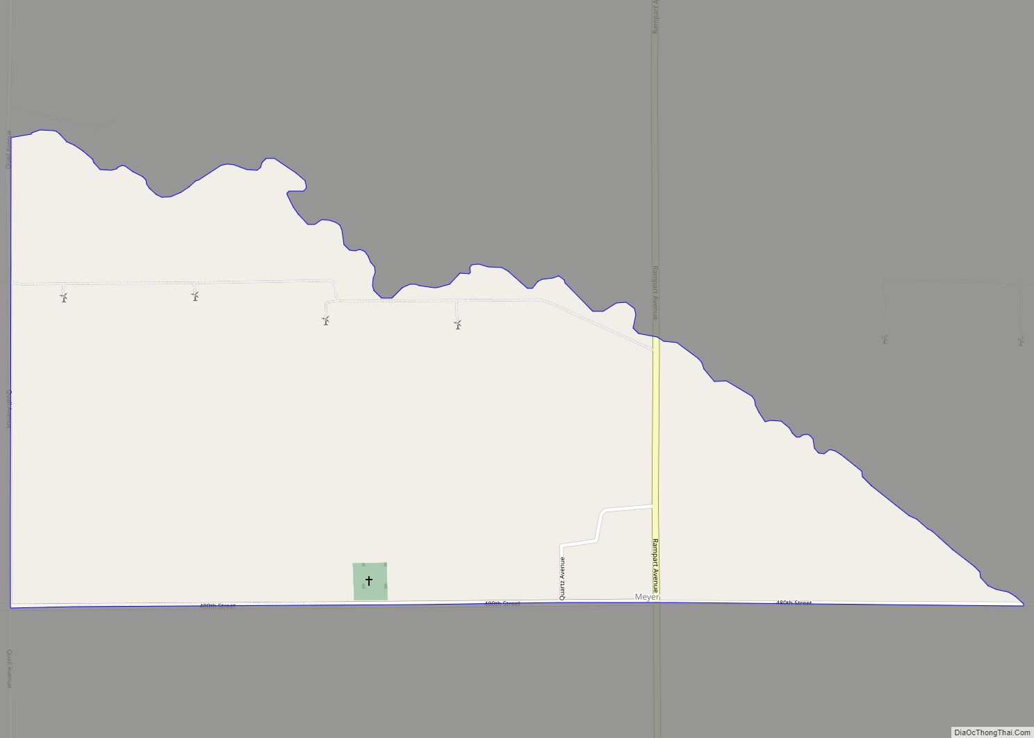
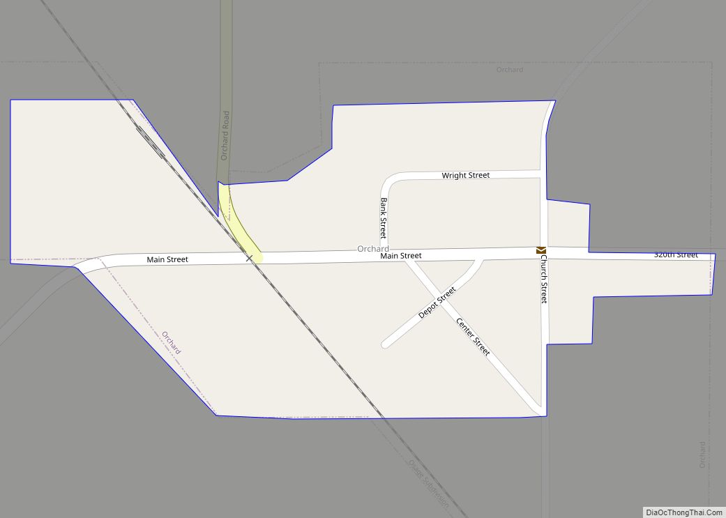
Online Interactive Map
Click on ![]() to view map in "full screen" mode.
to view map in "full screen" mode.
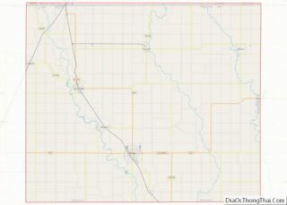
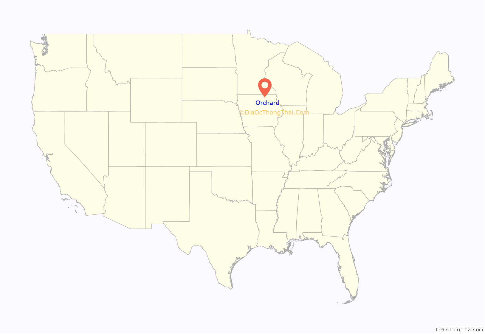
Orchard location map. Where is Orchard city?
History
Orchard got its start in the year 1869, following construction of the Illinois Central Railroad through that territory. It was named for Moses Orchard, a pioneer settler.
Lithograph City
The ghost town of Lithograph City, approximately two miles southwest of Orchard, was founded in the early 1900s adjacent to quarries that produced lithographic limestone. Production in these quarries peaked during World War I when access to German lithographic limestone was cut off. In 1915, Lithograph City had 15 houses, a hotel, a dance hall and a museum. After the war, use of stone blocks in lithography declined, the city was renamed Devonia, and by 1938, no trace of the town remained.
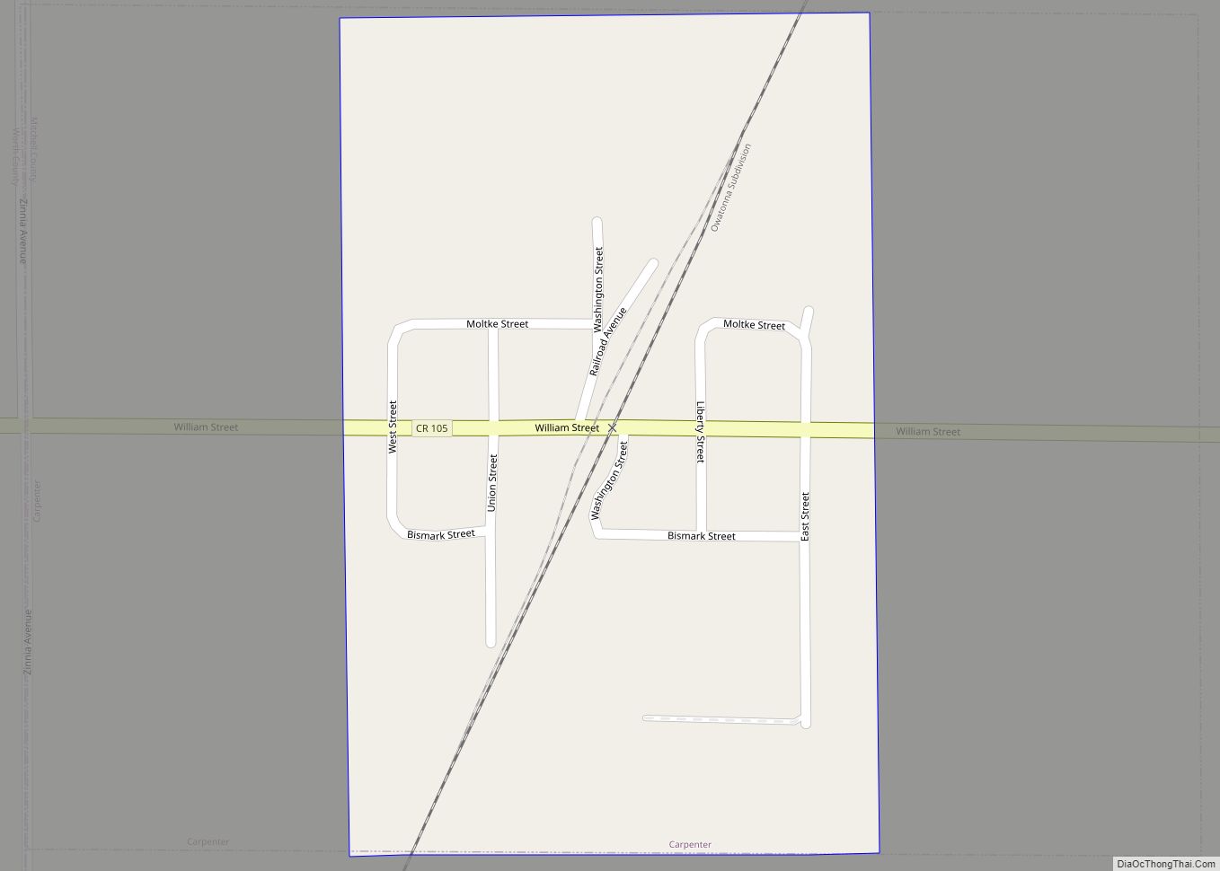
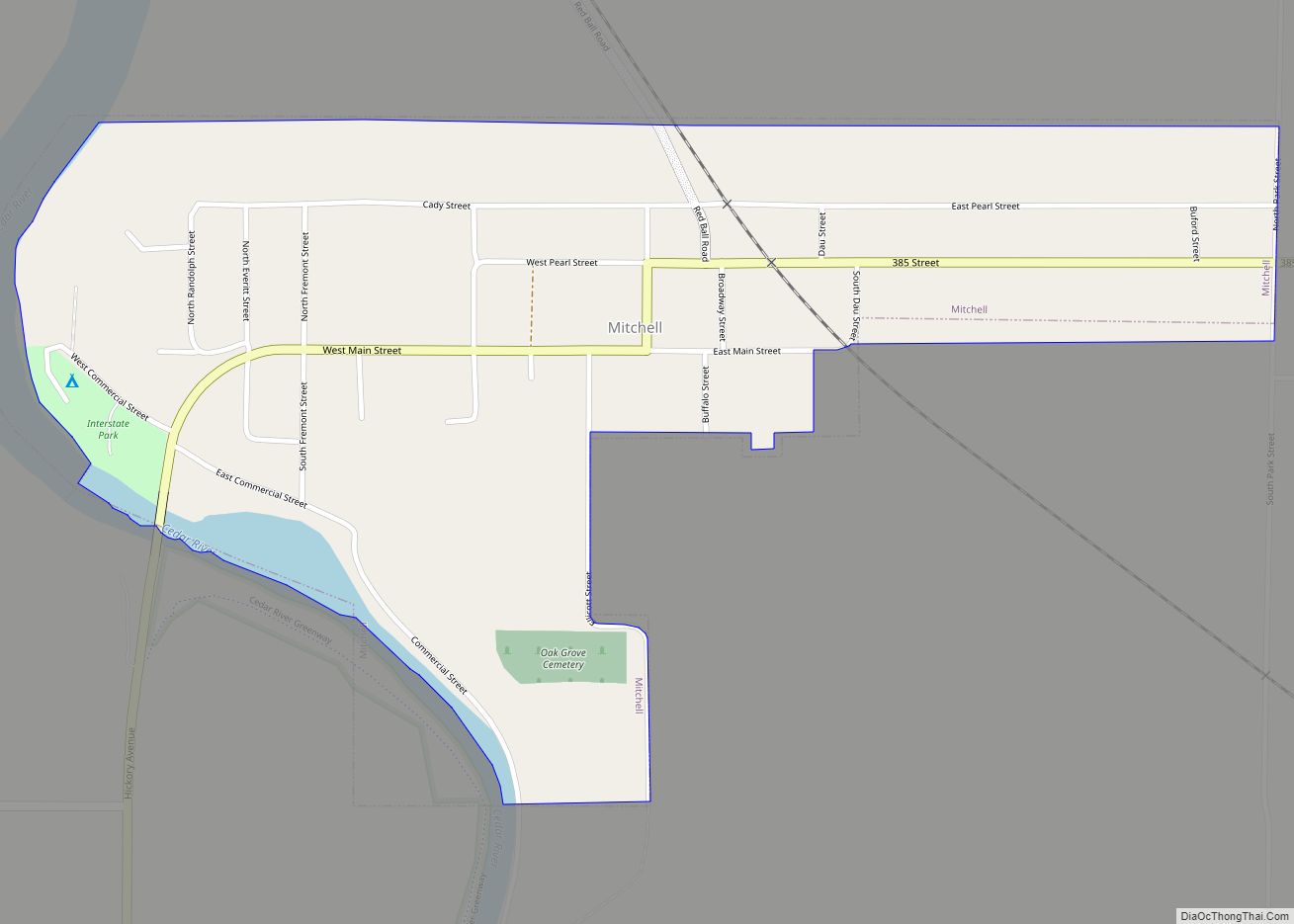
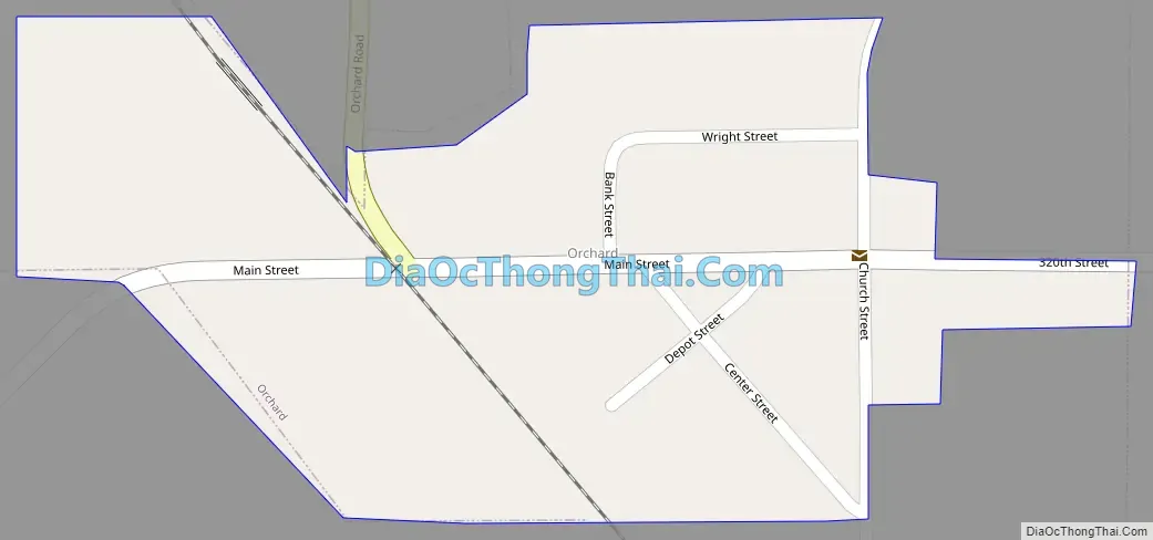
Orchard Road Map
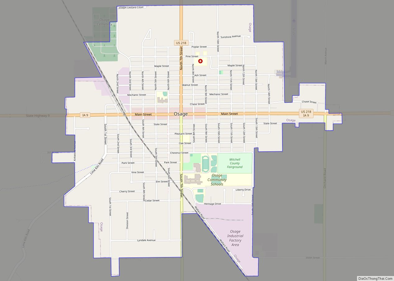
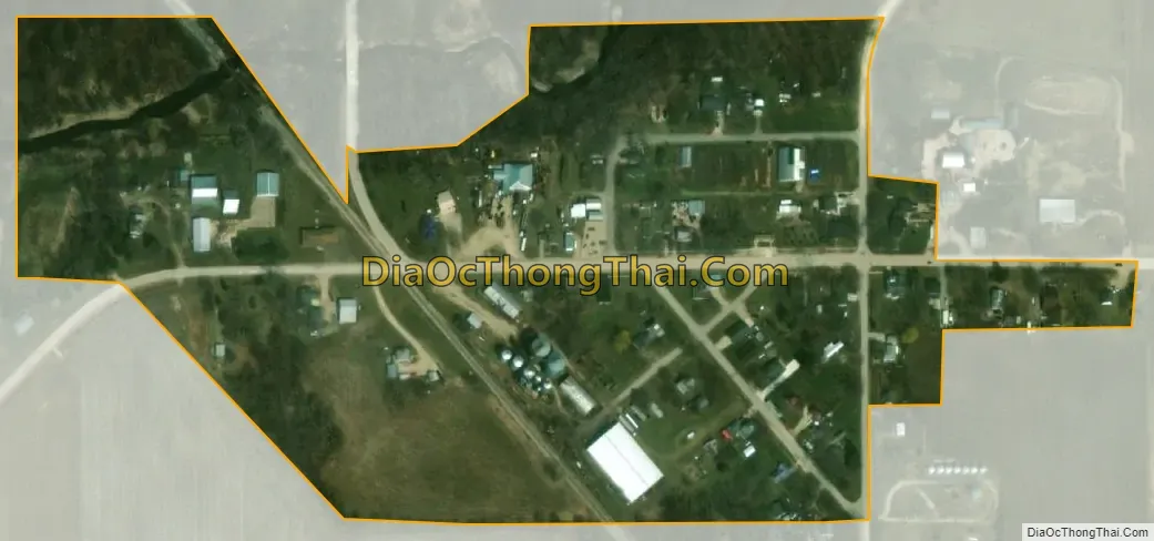
Orchard city Satellite Map
Geography
Orchard is located at 43°13′37″N 92°46′28″W / 43.22694°N 92.77444°W / 43.22694; -92.77444 (43.226995, -92.774567).
According to the United States Census Bureau, the city has a total area of 0.09 square miles (0.23 km), all land.
See also
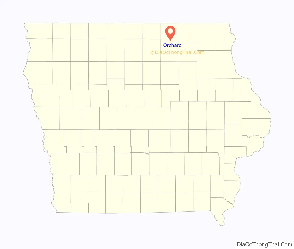
Map of Iowa State and its subdivision:- Adair
- Adams
- Allamakee
- Appanoose
- Audubon
- Benton
- Black Hawk
- Boone
- Bremer
- Buchanan
- Buena Vista
- Butler
- Calhoun
- Carroll
- Cass
- Cedar
- Cerro Gordo
- Cherokee
- Chickasaw
- Clarke
- Clay
- Clayton
- Clinton
- Crawford
- Dallas
- Davis
- Decatur
- Delaware
- Des Moines
- Dickinson
- Dubuque
- Emmet
- Fayette
- Floyd
- Franklin
- Fremont
- Greene
- Grundy
- Guthrie
- Hamilton
- Hancock
- Hardin
- Harrison
- Henry
- Howard
- Humboldt
- Ida
- Iowa
- Jackson
- Jasper
- Jefferson
- Johnson
- Jones
- Keokuk
- Kossuth
- Lee
- Linn
- Louisa
- Lucas
- Lyon
- Madison
- Mahaska
- Marion
- Marshall
- Mills
- Mitchell
- Monona
- Monroe
- Montgomery
- Muscatine
- O'Brien
- Osceola
- Page
- Palo Alto
- Plymouth
- Pocahontas
- Polk
- Pottawattamie
- Poweshiek
- Ringgold
- Sac
- Scott
- Shelby
- Sioux
- Story
- Tama
- Taylor
- Union
- Van Buren
- Wapello
- Warren
- Washington
- Wayne
- Webster
- Winnebago
- Winneshiek
- Woodbury
- Worth
- Wright
- Alabama
- Alaska
- Arizona
- Arkansas
- California
- Colorado
- Connecticut
- Delaware
- District of Columbia
- Florida
- Georgia
- Hawaii
- Idaho
- Illinois
- Indiana
- Iowa
- Kansas
- Kentucky
- Louisiana
- Maine
- Maryland
- Massachusetts
- Michigan
- Minnesota
- Mississippi
- Missouri
- Montana
- Nebraska
- Nevada
- New Hampshire
- New Jersey
- New Mexico
- New York
- North Carolina
- North Dakota
- Ohio
- Oklahoma
- Oregon
- Pennsylvania
- Rhode Island
- South Carolina
- South Dakota
- Tennessee
- Texas
- Utah
- Vermont
- Virginia
- Washington
- West Virginia
- Wisconsin
- Wyoming