Pierson is a city in Woodbury County, Iowa, United States. It is part of the Sioux City, Iowa–Nebraska–South Dakota Metropolitan Statistical Area. The population was 337 at the time of the 2020 census. Pierson was platted in 1883 with railroads and lumberyards being important to its growth. The city started with only eight blocks of land until new additions were later made. Pierson has a library, a school district, and five churches, among other businesses and recreation.
| Name: | Pierson city |
|---|---|
| LSAD Code: | 25 |
| LSAD Description: | city (suffix) |
| State: | Iowa |
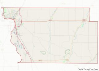
| County: | Woodbury County |
| Elevation: | 1,280 ft (390 m) |
| Total Area: | 0.47 sq mi (1.23 km²) |
| Land Area: | 0.47 sq mi (1.23 km²) |
| Water Area: | 0.00 sq mi (0.00 km²) |
| Total Population: | 337 |
| Population Density: | 709.47/sq mi (273.94/km²) |
| ZIP code: | 51048 |
| Area code: | 712 |
| FIPS code: | 1962760 |
| GNISfeature ID: | 0460129 |
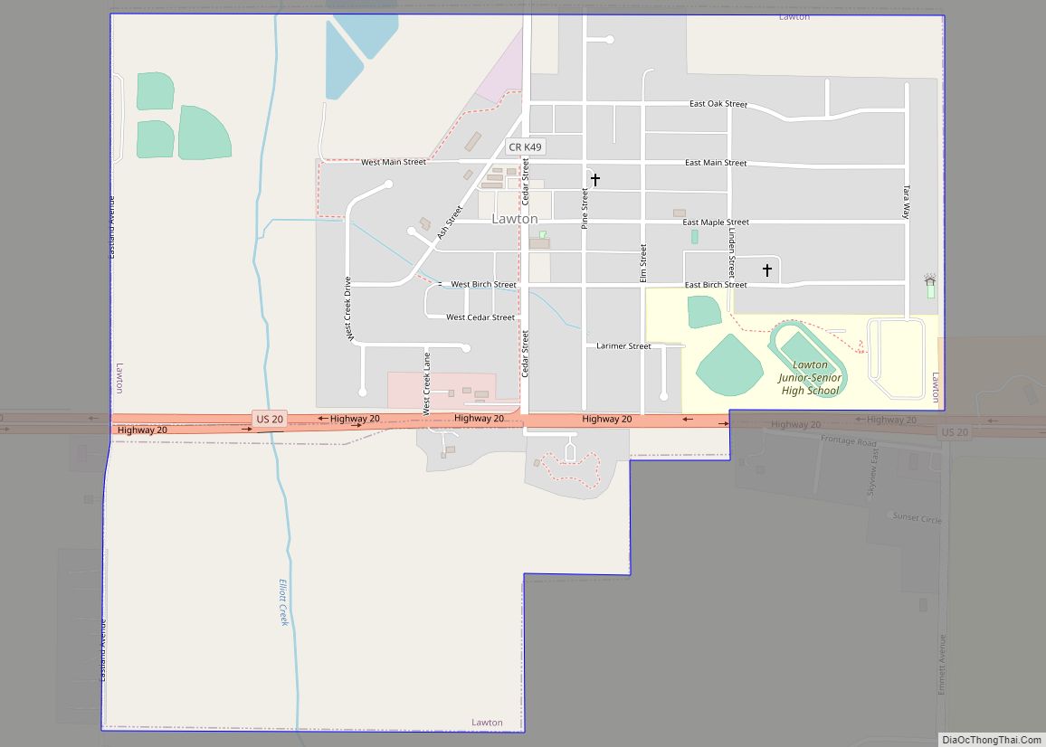
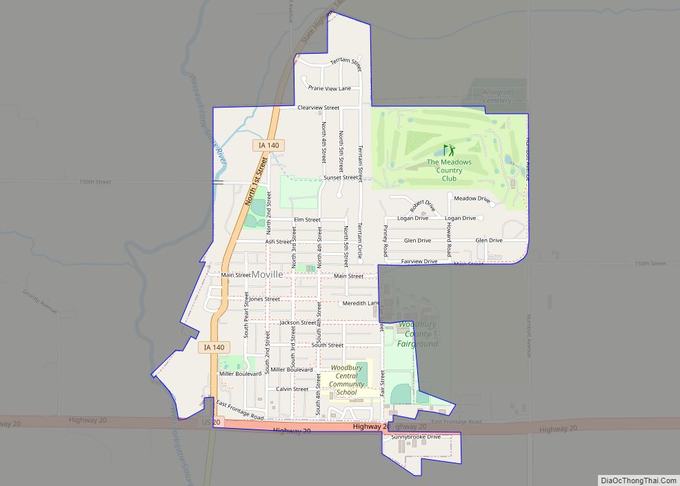
Online Interactive Map
Click on ![]() to view map in "full screen" mode.
to view map in "full screen" mode.
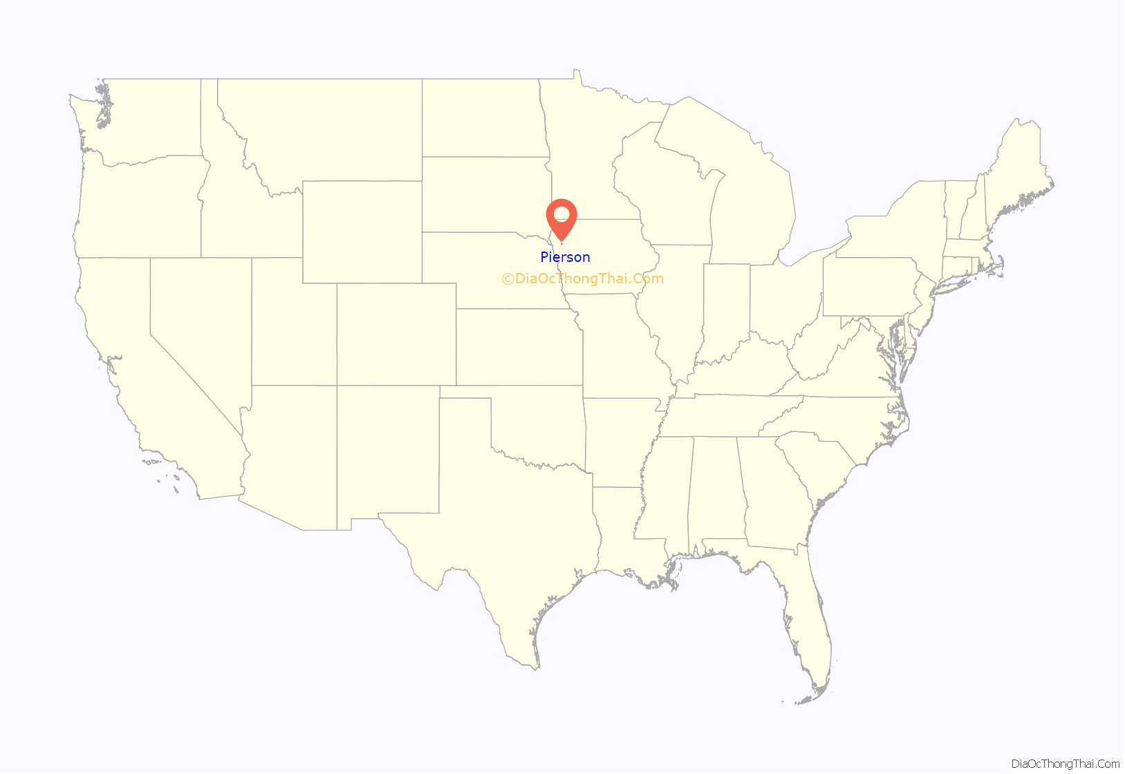
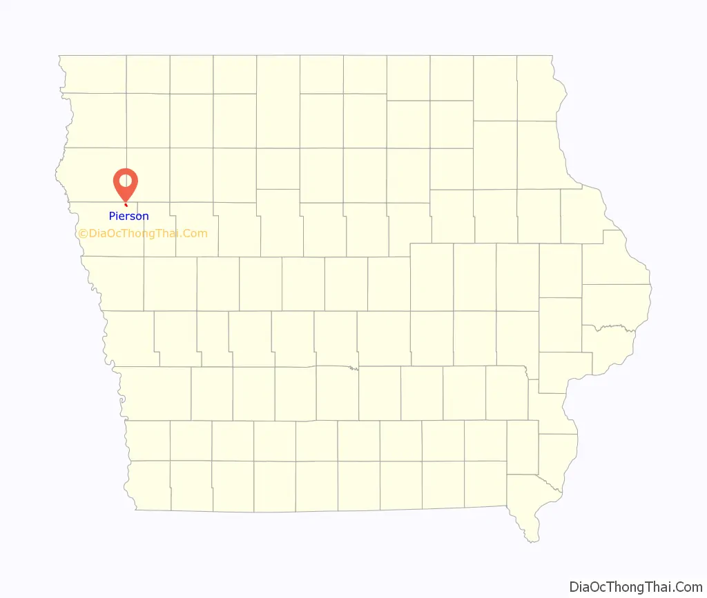
Pierson location map. Where is Pierson city?
History
Pierson was platted in 1883 and the original owners were the Railroad Land Co. The city might have been named for Andrew Pierson, a pioneer settler. Pierson originally only had eight blocks of land and new additions began being added in July 1892. Railroads were important to the growth of northwest Iowa, which includes Pierson, due to it carrying lumber and other material for expansion. Lumberyards were a major business in the early days of Pierson with the earliest such company being founded in 1883 as the Joyce Lumber Company. The newspaper Pierson Press was published from 1882, a year before being platted, until 1957. John C. Pierson was the mayor from 1898 to 1905.
Henry Castle from Correctionville, Iowa, founded a store in Pierson that sold groceries and hardware and acted as a post office. In 1885, the store was purchased by Mills and Robinson from Sioux City, Iowa, until 1890, when J. C. Mills purchased it, and he operated it until he died in 1903. The store went through multiple ownership changes until July 2016, when the final tenants left, leaving behind an empty building.
The Farmers’ Elevator Co. was founded in 1904 and it had grain from five counties within northwestern Iowa. The co-op elevator sold corn, oats, and barley with 3,500 bushes processed an hour by a lift. An addition was made to the company in 1915 and the facility was rebuilt in 1936. Herman and Henry Rock operated a franchise of John Deere from the late 1920s until the mid-1930s. The business was started again in 1936 as the Rock-Karsten Implement Company. After being in operation by multiple owners over the years, the business ended in 1986. Koch Construction was founded by Bill Koch in the early 1970s and the company mostly completed cement work. The company closed when Koch retired in 2000.
In 2000, Pierson’s business district received new streets and new sidewalks. A celebration was held on the streets with churches having services, a live band playing, food being served, and children decorating the streets with chalk. The 4 Angels Memorial was made to remember four Kingsley–Pierson girls who died after a snowmobile accident in December 2003. The girls were ages 10 to 13 years old. In 2018, its World War I memorial was rededicated as part of a Pritzker Military Museum & Library program “to commemorate 100 memorials during the 100th anniversary of the end of World War I”. American Legion Post 291 and local citizens obtained help from the Pritzker Museum to receive a $15,000 grant to upgrade the monument.
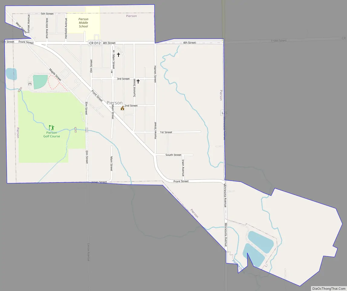
Pierson Road Map
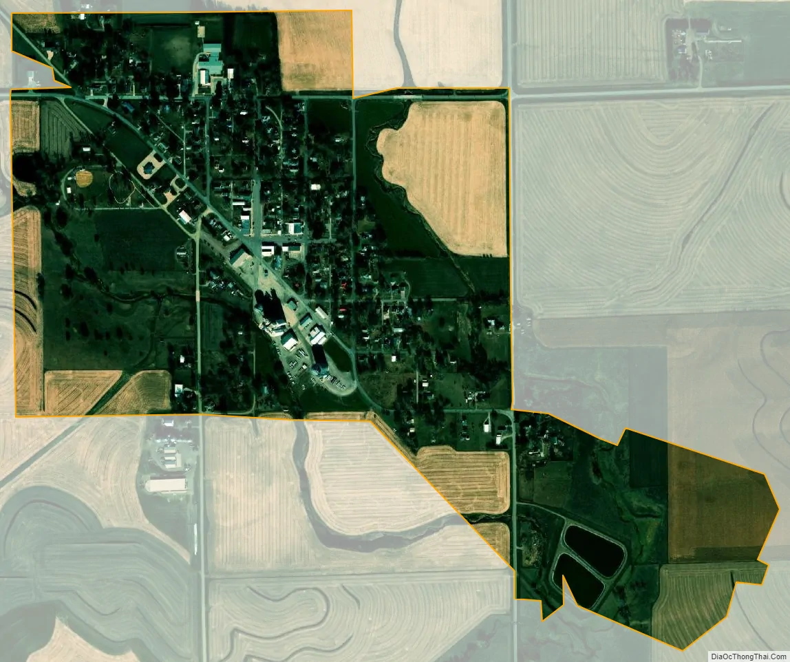
Pierson city Satellite Map
Geography
Pierson is located at 42°32′41″N 95°52′7″W / 42.54472°N 95.86861°W / 42.54472; -95.86861 (42.544627, −95.868617). It is “in the north-eastern part of Woodbury County, in the Northwest part of Iowa.” According to the United States Census Bureau, the city has a total area of 0.62 square miles (1.61 km), all land. The nearest highway is U.S. Route 20. Pierson’s surroundings is a rural area.
See also
Map of Iowa State and its subdivision:- Adair
- Adams
- Allamakee
- Appanoose
- Audubon
- Benton
- Black Hawk
- Boone
- Bremer
- Buchanan
- Buena Vista
- Butler
- Calhoun
- Carroll
- Cass
- Cedar
- Cerro Gordo
- Cherokee
- Chickasaw
- Clarke
- Clay
- Clayton
- Clinton
- Crawford
- Dallas
- Davis
- Decatur
- Delaware
- Des Moines
- Dickinson
- Dubuque
- Emmet
- Fayette
- Floyd
- Franklin
- Fremont
- Greene
- Grundy
- Guthrie
- Hamilton
- Hancock
- Hardin
- Harrison
- Henry
- Howard
- Humboldt
- Ida
- Iowa
- Jackson
- Jasper
- Jefferson
- Johnson
- Jones
- Keokuk
- Kossuth
- Lee
- Linn
- Louisa
- Lucas
- Lyon
- Madison
- Mahaska
- Marion
- Marshall
- Mills
- Mitchell
- Monona
- Monroe
- Montgomery
- Muscatine
- O'Brien
- Osceola
- Page
- Palo Alto
- Plymouth
- Pocahontas
- Polk
- Pottawattamie
- Poweshiek
- Ringgold
- Sac
- Scott
- Shelby
- Sioux
- Story
- Tama
- Taylor
- Union
- Van Buren
- Wapello
- Warren
- Washington
- Wayne
- Webster
- Winnebago
- Winneshiek
- Woodbury
- Worth
- Wright
- Alabama
- Alaska
- Arizona
- Arkansas
- California
- Colorado
- Connecticut
- Delaware
- District of Columbia
- Florida
- Georgia
- Hawaii
- Idaho
- Illinois
- Indiana
- Iowa
- Kansas
- Kentucky
- Louisiana
- Maine
- Maryland
- Massachusetts
- Michigan
- Minnesota
- Mississippi
- Missouri
- Montana
- Nebraska
- Nevada
- New Hampshire
- New Jersey
- New Mexico
- New York
- North Carolina
- North Dakota
- Ohio
- Oklahoma
- Oregon
- Pennsylvania
- Rhode Island
- South Carolina
- South Dakota
- Tennessee
- Texas
- Utah
- Vermont
- Virginia
- Washington
- West Virginia
- Wisconsin
- Wyoming