Quasqueton is a city in Buchanan County, Iowa, United States. The population was 570 at the time of the 2020 census. Just northwest of the town is Cedar Rock, a home designed by Frank Lloyd Wright, which is maintained by the state as a museum.
| Name: | Quasqueton city |
|---|---|
| LSAD Code: | 25 |
| LSAD Description: | city (suffix) |
| State: | Iowa |
| County: | Buchanan County |
| Elevation: | 883 ft (269 m) |
| Total Area: | 1.16 sq mi (3.00 km²) |
| Land Area: | 1.13 sq mi (2.92 km²) |
| Water Area: | 0.03 sq mi (0.08 km²) |
| Total Population: | 570 |
| Population Density: | 504.87/sq mi (194.97/km²) |
| ZIP code: | 52326 |
| Area code: | 319 |
| FIPS code: | 1965235 |
| GNISfeature ID: | 0460483 |
Online Interactive Map
Click on ![]() to view map in "full screen" mode.
to view map in "full screen" mode.
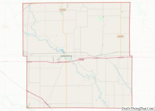
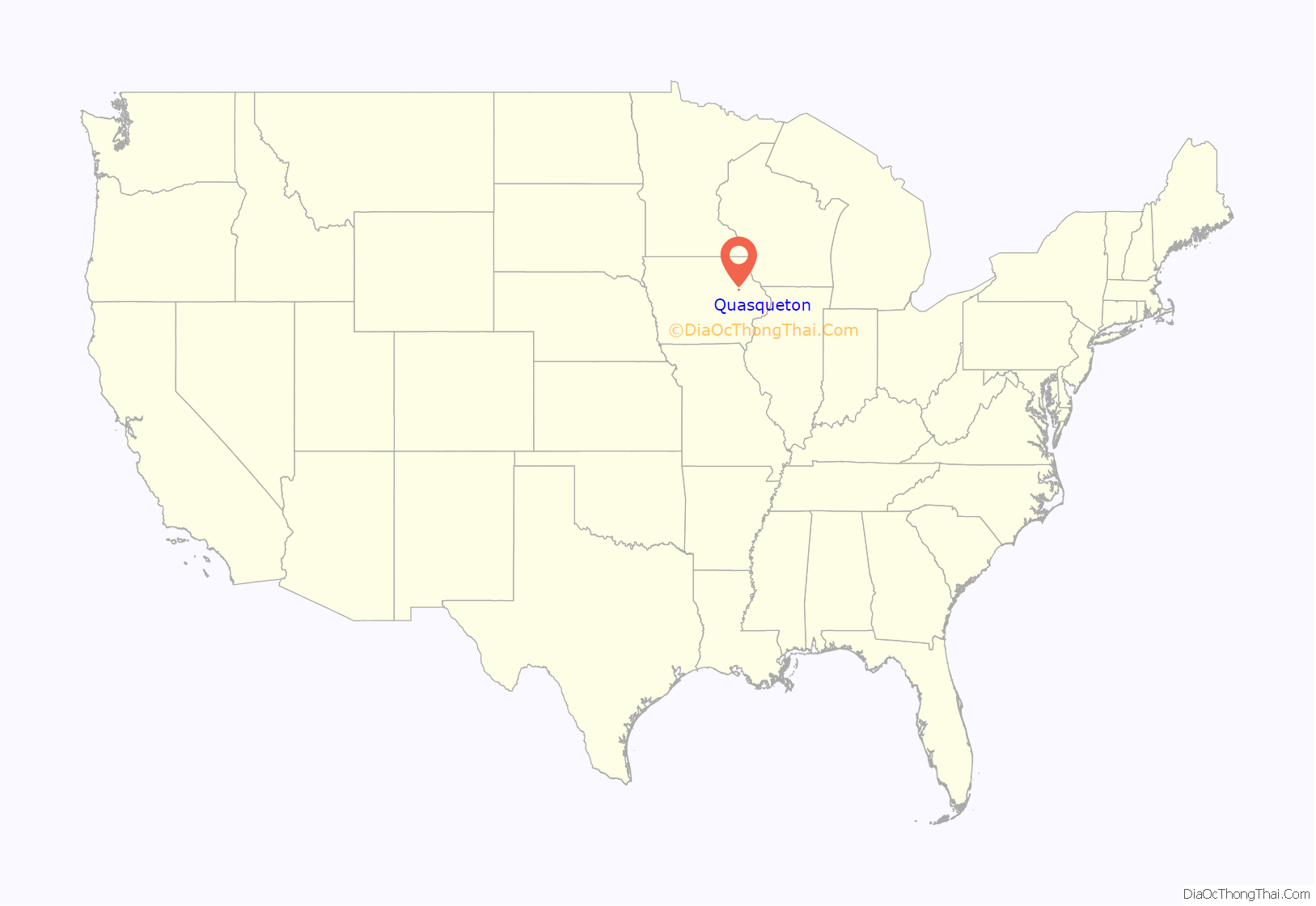
Quasqueton location map. Where is Quasqueton city?

History
Quasqueton was the location that several Native American trails intersected. It was first settled by Euro-Americans in 1842 and had a post office starting in 1845. In 1858 the Quaqueton Mutual Protection Company was organized to prevent against horse thievery. In 1904 most of Quasqueton was destroyed in a fire.
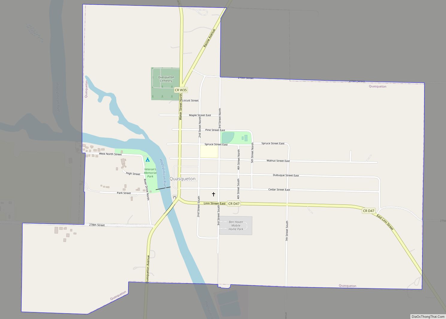
Quasqueton Road Map

Quasqueton city Satellite Map

Geography
Quasqueton is located at 42°23′41″N 91°45′33″W / 42.39472°N 91.75917°W / 42.39472; -91.75917 (42.394662, -91.759173).
According to the United States Census Bureau, the city has a total area of 1.16 square miles (3.00 km), of which 1.13 square miles (2.93 km) is land and 0.03 square miles (0.08 km) is water.
See also
Map of Iowa State and its subdivision:- Adair
- Adams
- Allamakee
- Appanoose
- Audubon
- Benton
- Black Hawk
- Boone
- Bremer
- Buchanan
- Buena Vista
- Butler
- Calhoun
- Carroll
- Cass
- Cedar
- Cerro Gordo
- Cherokee
- Chickasaw
- Clarke
- Clay
- Clayton
- Clinton
- Crawford
- Dallas
- Davis
- Decatur
- Delaware
- Des Moines
- Dickinson
- Dubuque
- Emmet
- Fayette
- Floyd
- Franklin
- Fremont
- Greene
- Grundy
- Guthrie
- Hamilton
- Hancock
- Hardin
- Harrison
- Henry
- Howard
- Humboldt
- Ida
- Iowa
- Jackson
- Jasper
- Jefferson
- Johnson
- Jones
- Keokuk
- Kossuth
- Lee
- Linn
- Louisa
- Lucas
- Lyon
- Madison
- Mahaska
- Marion
- Marshall
- Mills
- Mitchell
- Monona
- Monroe
- Montgomery
- Muscatine
- O'Brien
- Osceola
- Page
- Palo Alto
- Plymouth
- Pocahontas
- Polk
- Pottawattamie
- Poweshiek
- Ringgold
- Sac
- Scott
- Shelby
- Sioux
- Story
- Tama
- Taylor
- Union
- Van Buren
- Wapello
- Warren
- Washington
- Wayne
- Webster
- Winnebago
- Winneshiek
- Woodbury
- Worth
- Wright
- Alabama
- Alaska
- Arizona
- Arkansas
- California
- Colorado
- Connecticut
- Delaware
- District of Columbia
- Florida
- Georgia
- Hawaii
- Idaho
- Illinois
- Indiana
- Iowa
- Kansas
- Kentucky
- Louisiana
- Maine
- Maryland
- Massachusetts
- Michigan
- Minnesota
- Mississippi
- Missouri
- Montana
- Nebraska
- Nevada
- New Hampshire
- New Jersey
- New Mexico
- New York
- North Carolina
- North Dakota
- Ohio
- Oklahoma
- Oregon
- Pennsylvania
- Rhode Island
- South Carolina
- South Dakota
- Tennessee
- Texas
- Utah
- Vermont
- Virginia
- Washington
- West Virginia
- Wisconsin
- Wyoming