Rhodes is a city in Marshall County, Iowa, United States. The population was 271 at the time of the 2020 census.
| Name: | Rhodes city |
|---|---|
| LSAD Code: | 25 |
| LSAD Description: | city (suffix) |
| State: | Iowa |
| County: | Marshall County |
| Elevation: | 1,020 ft (311 m) |
| Total Area: | 1.01 sq mi (2.63 km²) |
| Land Area: | 1.01 sq mi (2.63 km²) |
| Water Area: | 0.00 sq mi (0.00 km²) |
| Total Population: | 271 |
| Population Density: | 267.26/sq mi (103.15/km²) |
| ZIP code: | 50234 |
| Area code: | 641 |
| FIPS code: | 1966540 |
| GNISfeature ID: | 0460599 |
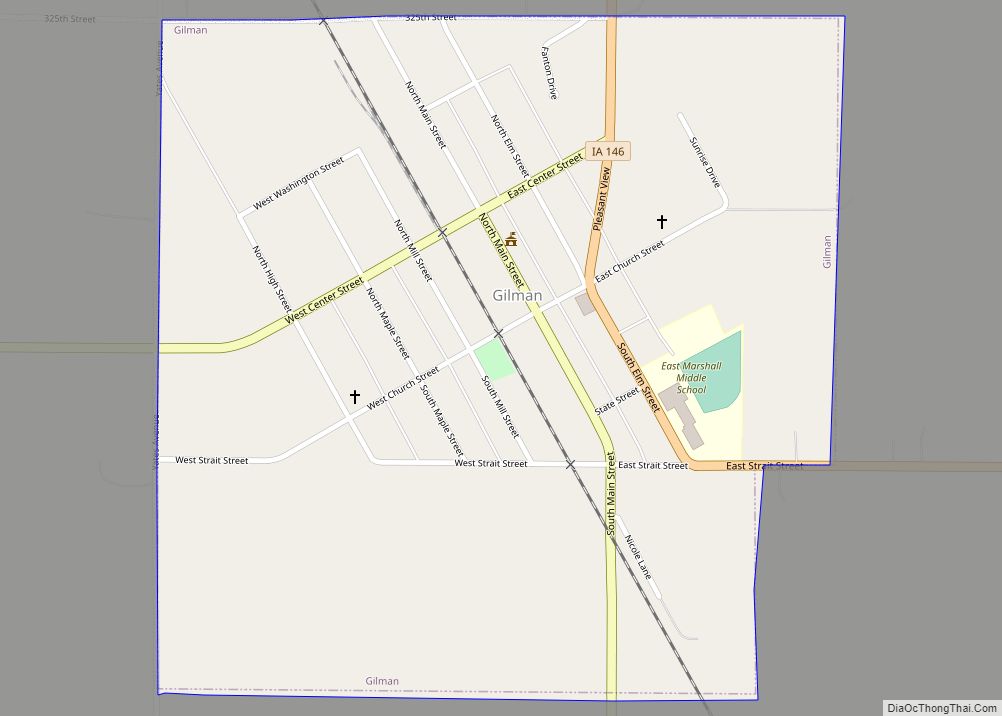
Online Interactive Map
Click on ![]() to view map in "full screen" mode.
to view map in "full screen" mode.
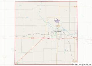
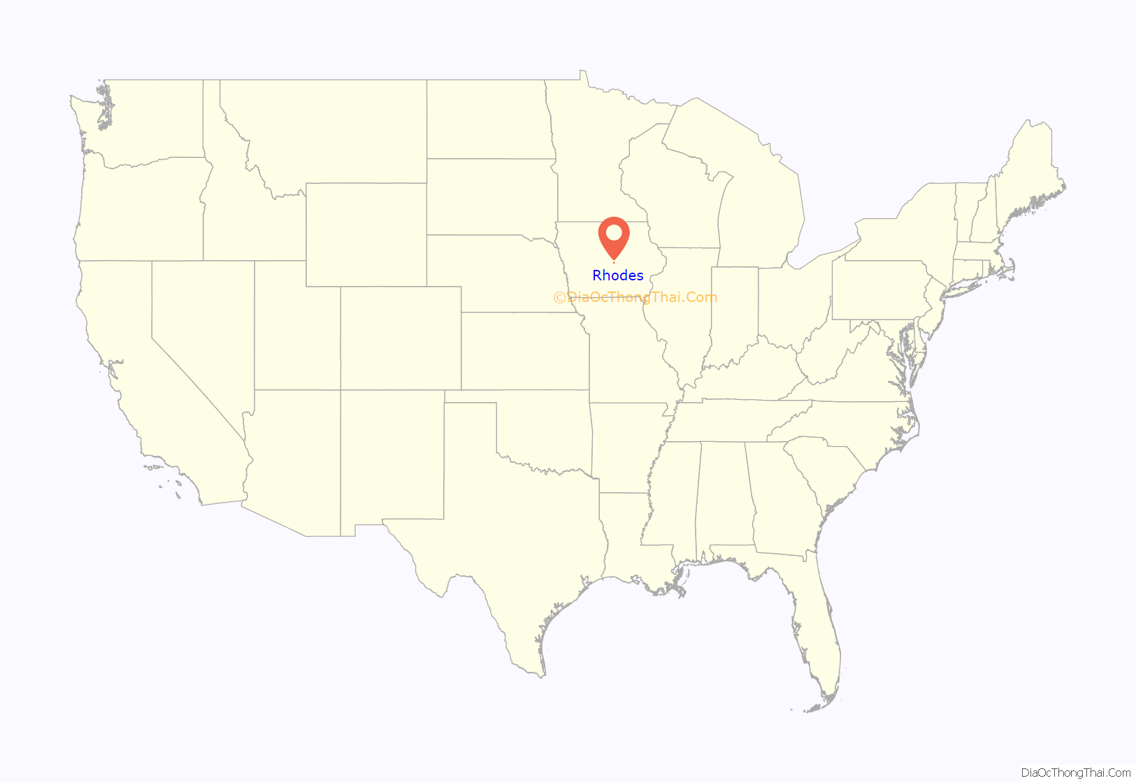
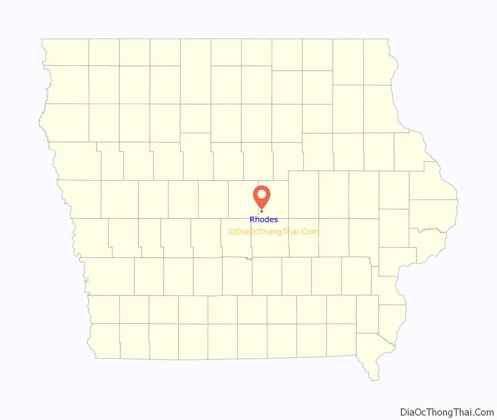
Rhodes location map. Where is Rhodes city?
History
Rhodes was laid out in 1856, and it was incorporated in 1883. Postal service was originally established in the Marshall County town of Rhodes in 1860, at which time it was known as Edenville. The name of Rhodes was officially implemented on August 3, 1883, which was the name of the family that donated the land where the Chicago, Milwaukee & St. Paul (Milwaukee Road) Railroad Depot was originally located.
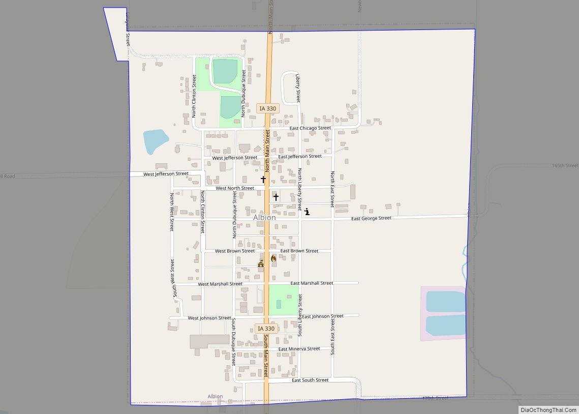
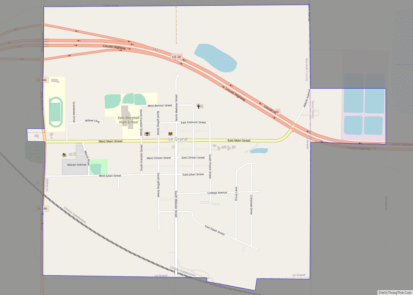
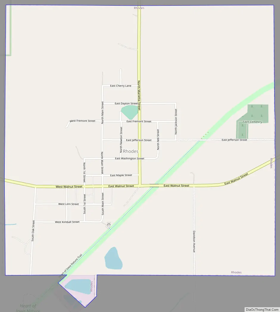
Rhodes Road Map
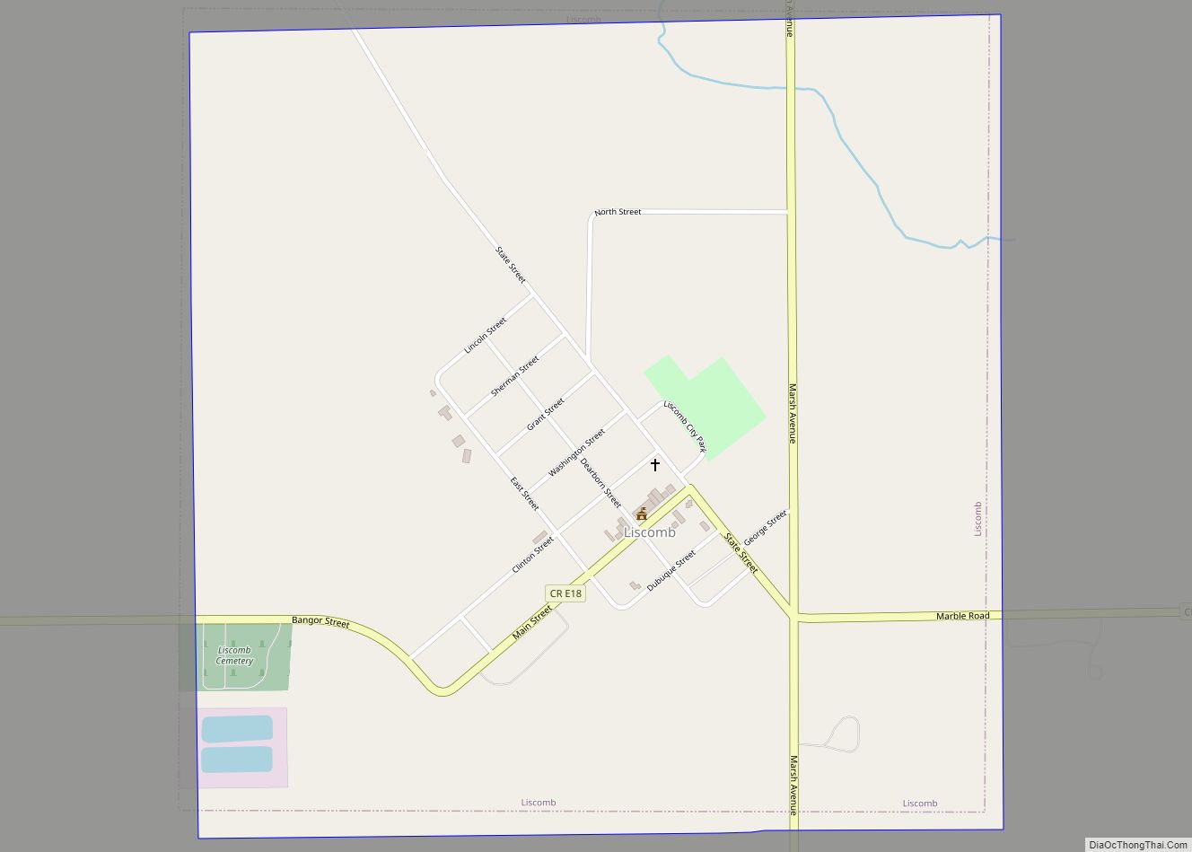
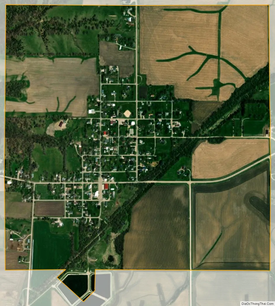
Rhodes city Satellite Map
Geography
Rhodes is located at 41°55′36″N 93°11′6″W / 41.92667°N 93.18500°W / 41.92667; -93.18500 (41.926536, -93.184884).
According to the United States Census Bureau, the city has a total area of 1.01 square miles (2.62 km), all land.
See also
Map of Iowa State and its subdivision:- Adair
- Adams
- Allamakee
- Appanoose
- Audubon
- Benton
- Black Hawk
- Boone
- Bremer
- Buchanan
- Buena Vista
- Butler
- Calhoun
- Carroll
- Cass
- Cedar
- Cerro Gordo
- Cherokee
- Chickasaw
- Clarke
- Clay
- Clayton
- Clinton
- Crawford
- Dallas
- Davis
- Decatur
- Delaware
- Des Moines
- Dickinson
- Dubuque
- Emmet
- Fayette
- Floyd
- Franklin
- Fremont
- Greene
- Grundy
- Guthrie
- Hamilton
- Hancock
- Hardin
- Harrison
- Henry
- Howard
- Humboldt
- Ida
- Iowa
- Jackson
- Jasper
- Jefferson
- Johnson
- Jones
- Keokuk
- Kossuth
- Lee
- Linn
- Louisa
- Lucas
- Lyon
- Madison
- Mahaska
- Marion
- Marshall
- Mills
- Mitchell
- Monona
- Monroe
- Montgomery
- Muscatine
- O'Brien
- Osceola
- Page
- Palo Alto
- Plymouth
- Pocahontas
- Polk
- Pottawattamie
- Poweshiek
- Ringgold
- Sac
- Scott
- Shelby
- Sioux
- Story
- Tama
- Taylor
- Union
- Van Buren
- Wapello
- Warren
- Washington
- Wayne
- Webster
- Winnebago
- Winneshiek
- Woodbury
- Worth
- Wright
- Alabama
- Alaska
- Arizona
- Arkansas
- California
- Colorado
- Connecticut
- Delaware
- District of Columbia
- Florida
- Georgia
- Hawaii
- Idaho
- Illinois
- Indiana
- Iowa
- Kansas
- Kentucky
- Louisiana
- Maine
- Maryland
- Massachusetts
- Michigan
- Minnesota
- Mississippi
- Missouri
- Montana
- Nebraska
- Nevada
- New Hampshire
- New Jersey
- New Mexico
- New York
- North Carolina
- North Dakota
- Ohio
- Oklahoma
- Oregon
- Pennsylvania
- Rhode Island
- South Carolina
- South Dakota
- Tennessee
- Texas
- Utah
- Vermont
- Virginia
- Washington
- West Virginia
- Wisconsin
- Wyoming