Sibley is a city in Osceola County, Iowa, United States. The population was 2,860 at the time of the 2020 census. It is the county seat of Osceola County. Hawkeye Point, the highest point in the State of Iowa, is also nearby.
| Name: | Sibley city |
|---|---|
| LSAD Code: | 25 |
| LSAD Description: | city (suffix) |
| State: | Iowa |
| County: | Osceola County |
| Elevation: | 1,516 ft (462 m) |
| Total Area: | 1.79 sq mi (4.63 km²) |
| Land Area: | 1.79 sq mi (4.63 km²) |
| Water Area: | 0.00 sq mi (0.00 km²) |
| Total Population: | 2,860 |
| Population Density: | 1,601.34/sq mi (618.35/km²) |
| ZIP code: | 51249 |
| Area code: | 712 |
| FIPS code: | 1972975 |
| GNISfeature ID: | 0461598 |
| Website: | www.cityofsibley.com |
Online Interactive Map
Click on ![]() to view map in "full screen" mode.
to view map in "full screen" mode.
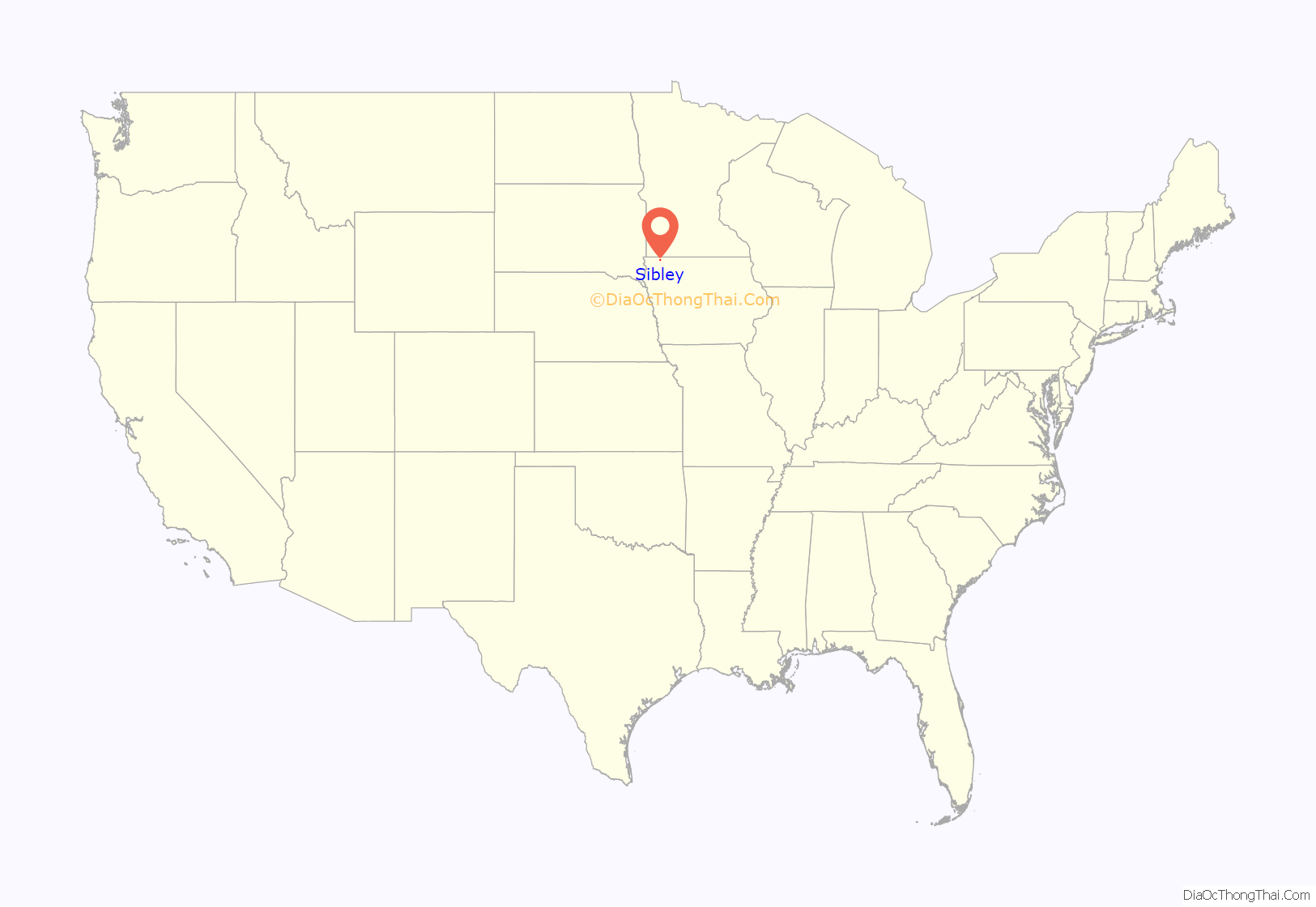
Sibley location map. Where is Sibley city?
History
Sibley had its start in the year 1872 by the construction of the Sioux City & St. Paul Railroad through that territory. It is the oldest town in Osceola County.
Sibley is named after Henry Hastings Sibley, a prominent general during the Dakota War of 1862, who eventually became the first governor of Minnesota. William L. Harding, governor of Iowa from 1917 to 1921, was born in Sibley in 1877.
In March 2018, the city of Sibley lost a lawsuit brought against it by the ACLU. Local resident Josh Harms had criticized local officials for failing to stop the “rancid dog food” smell coming from a local pork blood processing plant, which he believed would dissuade people from moving to the town. The city of Sibley threatened to sue him and instructed him not to speak to the media about the issue. The ACLU successfully argued that this violated Harms’ First Amendment rights to free speech. An injunction was granted, preventing Sibley’s officials from “directing Harms not to speak with reporters, threatening to bring a lawsuit, or actually bringing a lawsuit against” Harms.
In September 2018, the city of Sibley was featured in an Esquire article by Ryan Lizza on dairy farms in the region that employ undocumented immigrants. Dairy farmers and their workers expressed concern that they might be raided by ICE. Indeed, the fear of such a raid was so acute that “[o]ne dairy farmer said . . . that [Western Iowa Dairy Alliance] members have discussed forming a NATO-like pact that would treat a raid on one dairy as a raid on all of them.” Lizza’s reporting received national attention and has been discussed in regional and national news outlets such as Mother Jones, The Des Moines Register, The Washington Post, The Daily Beast, Bloomberg, and Salon.
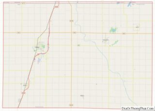
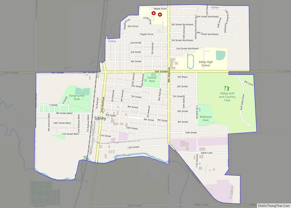
Sibley Road Map
Sibley city Satellite Map
Geography
Sibley is located at 43°24′11″N 95°44′47″W / 43.40306°N 95.74639°W / 43.40306; -95.74639 (43.403046, -95.746471).
According to the United States Census Bureau, the city has a total area of 1.68 square miles (4.35 km), all land.
Climate
See also
Map of Iowa State and its subdivision:- Adair
- Adams
- Allamakee
- Appanoose
- Audubon
- Benton
- Black Hawk
- Boone
- Bremer
- Buchanan
- Buena Vista
- Butler
- Calhoun
- Carroll
- Cass
- Cedar
- Cerro Gordo
- Cherokee
- Chickasaw
- Clarke
- Clay
- Clayton
- Clinton
- Crawford
- Dallas
- Davis
- Decatur
- Delaware
- Des Moines
- Dickinson
- Dubuque
- Emmet
- Fayette
- Floyd
- Franklin
- Fremont
- Greene
- Grundy
- Guthrie
- Hamilton
- Hancock
- Hardin
- Harrison
- Henry
- Howard
- Humboldt
- Ida
- Iowa
- Jackson
- Jasper
- Jefferson
- Johnson
- Jones
- Keokuk
- Kossuth
- Lee
- Linn
- Louisa
- Lucas
- Lyon
- Madison
- Mahaska
- Marion
- Marshall
- Mills
- Mitchell
- Monona
- Monroe
- Montgomery
- Muscatine
- O'Brien
- Osceola
- Page
- Palo Alto
- Plymouth
- Pocahontas
- Polk
- Pottawattamie
- Poweshiek
- Ringgold
- Sac
- Scott
- Shelby
- Sioux
- Story
- Tama
- Taylor
- Union
- Van Buren
- Wapello
- Warren
- Washington
- Wayne
- Webster
- Winnebago
- Winneshiek
- Woodbury
- Worth
- Wright
- Alabama
- Alaska
- Arizona
- Arkansas
- California
- Colorado
- Connecticut
- Delaware
- District of Columbia
- Florida
- Georgia
- Hawaii
- Idaho
- Illinois
- Indiana
- Iowa
- Kansas
- Kentucky
- Louisiana
- Maine
- Maryland
- Massachusetts
- Michigan
- Minnesota
- Mississippi
- Missouri
- Montana
- Nebraska
- Nevada
- New Hampshire
- New Jersey
- New Mexico
- New York
- North Carolina
- North Dakota
- Ohio
- Oklahoma
- Oregon
- Pennsylvania
- Rhode Island
- South Carolina
- South Dakota
- Tennessee
- Texas
- Utah
- Vermont
- Virginia
- Washington
- West Virginia
- Wisconsin
- Wyoming
