Sioux Center is a city in Sioux County, Iowa. The population was 8,229 at the time of the 2020 census. Sioux Center is notable for its Dutch heritage, agribusiness, and as the location of Dordt University.
| Name: | Sioux Center city |
|---|---|
| LSAD Code: | 25 |
| LSAD Description: | city (suffix) |
| State: | Iowa |
| County: | Sioux County |
| Elevation: | 1,463 ft (446 m) |
| Total Area: | 6.22 sq mi (16.12 km²) |
| Land Area: | 6.22 sq mi (16.12 km²) |
| Water Area: | 0.00 sq mi (0.00 km²) |
| Total Population: | 8,229 |
| Population Density: | 1,322.14/sq mi (510.47/km²) |
| ZIP code: | 51250 |
| Area code: | 712 |
| FIPS code: | 1973290 |
| GNISfeature ID: | 0461652 |
| Website: | www.siouxcenter.org |
Online Interactive Map
Click on ![]() to view map in "full screen" mode.
to view map in "full screen" mode.
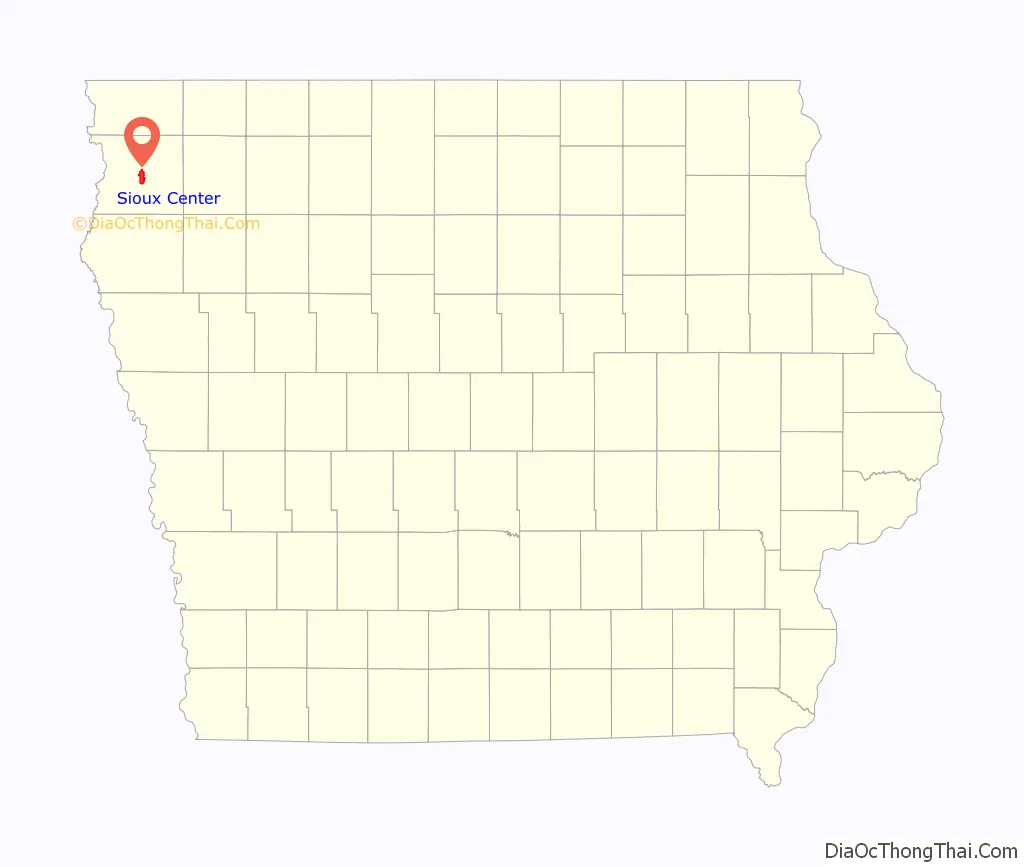
Sioux Center location map. Where is Sioux Center city?
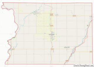
Sioux Center Road Map
Sioux Center city Satellite Map
Geography
Sioux Center is located at 43°4′36″N 96°10′24″W / 43.07667°N 96.17333°W / 43.07667; -96.17333 (43.076546, −96.173214). According to the United States Census Bureau, the city has a total area of 6.31 square miles (16.34 km), all land.
Sioux Center is at an elevation of 1,445 feet (440 m) above sea level. It lies near the north-to-south ridge, or spine, of western Iowa. The eastern side of Sioux Center drains to the Floyd River. The western side drains to the Big Sioux River. This “divide” is profoundly unnoticeable. The area within a ten-mile (16 km) radius of Sioux Center has been divided into sections of one square mile each. The gravel and paved roads marking the sections do not swerve or contour for the slight hills or valleys.
Climate
See also
Map of Iowa State and its subdivision:- Adair
- Adams
- Allamakee
- Appanoose
- Audubon
- Benton
- Black Hawk
- Boone
- Bremer
- Buchanan
- Buena Vista
- Butler
- Calhoun
- Carroll
- Cass
- Cedar
- Cerro Gordo
- Cherokee
- Chickasaw
- Clarke
- Clay
- Clayton
- Clinton
- Crawford
- Dallas
- Davis
- Decatur
- Delaware
- Des Moines
- Dickinson
- Dubuque
- Emmet
- Fayette
- Floyd
- Franklin
- Fremont
- Greene
- Grundy
- Guthrie
- Hamilton
- Hancock
- Hardin
- Harrison
- Henry
- Howard
- Humboldt
- Ida
- Iowa
- Jackson
- Jasper
- Jefferson
- Johnson
- Jones
- Keokuk
- Kossuth
- Lee
- Linn
- Louisa
- Lucas
- Lyon
- Madison
- Mahaska
- Marion
- Marshall
- Mills
- Mitchell
- Monona
- Monroe
- Montgomery
- Muscatine
- O'Brien
- Osceola
- Page
- Palo Alto
- Plymouth
- Pocahontas
- Polk
- Pottawattamie
- Poweshiek
- Ringgold
- Sac
- Scott
- Shelby
- Sioux
- Story
- Tama
- Taylor
- Union
- Van Buren
- Wapello
- Warren
- Washington
- Wayne
- Webster
- Winnebago
- Winneshiek
- Woodbury
- Worth
- Wright
- Alabama
- Alaska
- Arizona
- Arkansas
- California
- Colorado
- Connecticut
- Delaware
- District of Columbia
- Florida
- Georgia
- Hawaii
- Idaho
- Illinois
- Indiana
- Iowa
- Kansas
- Kentucky
- Louisiana
- Maine
- Maryland
- Massachusetts
- Michigan
- Minnesota
- Mississippi
- Missouri
- Montana
- Nebraska
- Nevada
- New Hampshire
- New Jersey
- New Mexico
- New York
- North Carolina
- North Dakota
- Ohio
- Oklahoma
- Oregon
- Pennsylvania
- Rhode Island
- South Carolina
- South Dakota
- Tennessee
- Texas
- Utah
- Vermont
- Virginia
- Washington
- West Virginia
- Wisconsin
- Wyoming

