St. Ansgar is a city in Mitchell County, Iowa, United States. The population was 1,160 at the 2020 census.
| Name: | St. Ansgar city |
|---|---|
| LSAD Code: | 25 |
| LSAD Description: | city (suffix) |
| State: | Iowa |
| County: | Mitchell County |
| Elevation: | 1,171 ft (357 m) |
| Total Area: | 1.09 sq mi (2.82 km²) |
| Land Area: | 1.09 sq mi (2.82 km²) |
| Water Area: | 0.00 sq mi (0.00 km²) |
| Total Population: | 1,160 |
| Population Density: | 1,066.18/sq mi (411.76/km²) |
| ZIP code: | 50472 |
| Area code: | 641 |
| FIPS code: | 1969735 |
| GNISfeature ID: | 0460929 |
| Website: | www.stansgar.org |
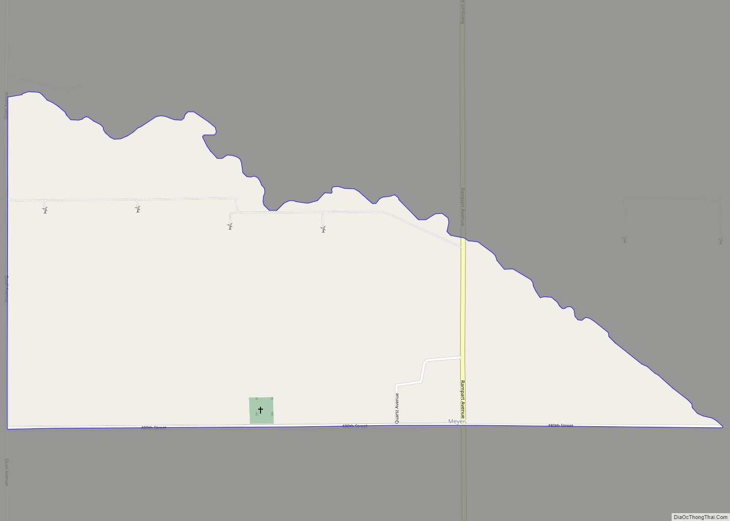
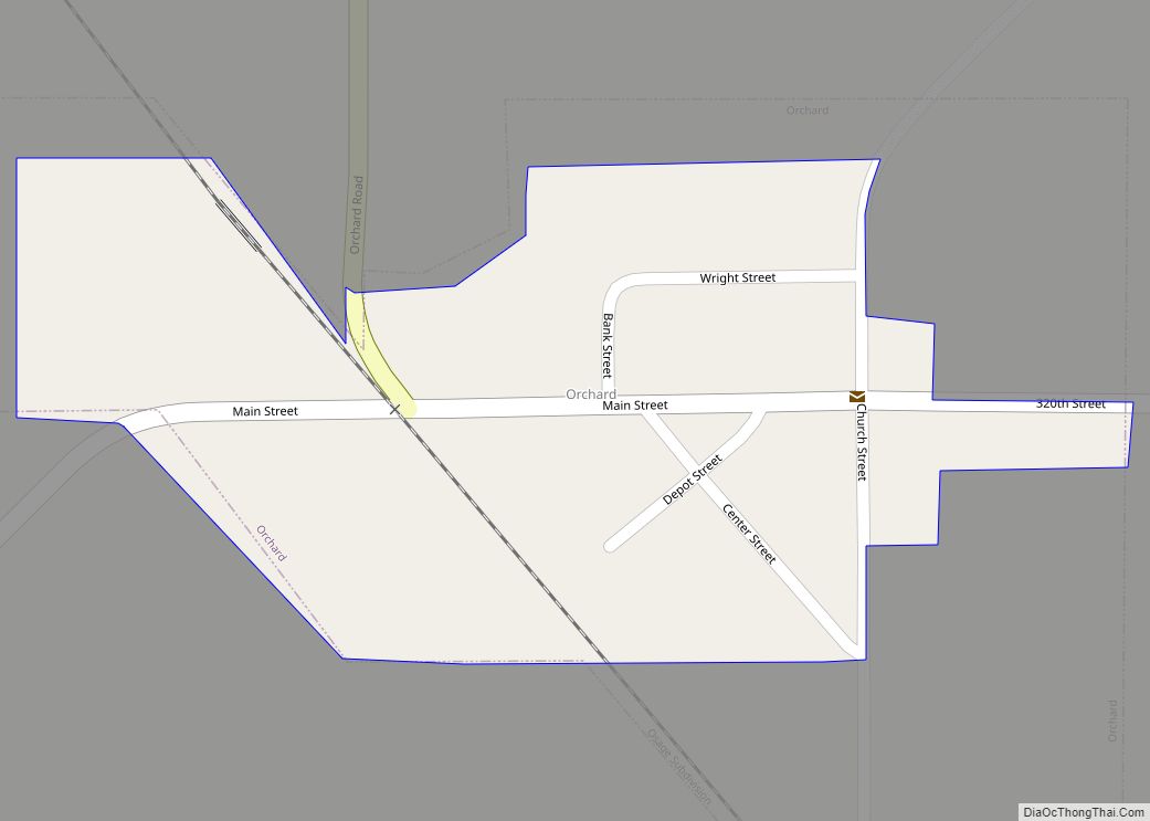
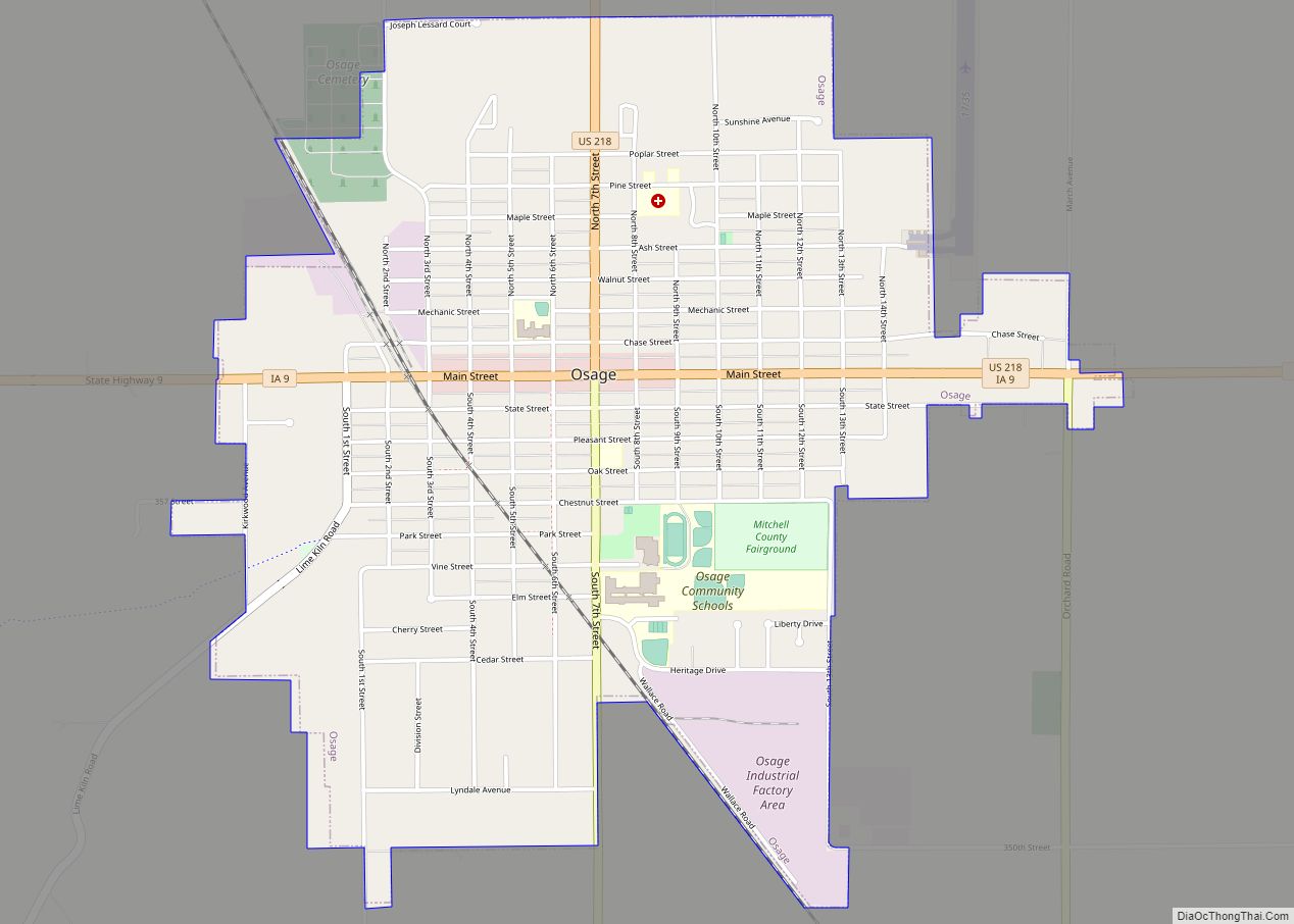
Online Interactive Map
Click on ![]() to view map in "full screen" mode.
to view map in "full screen" mode.
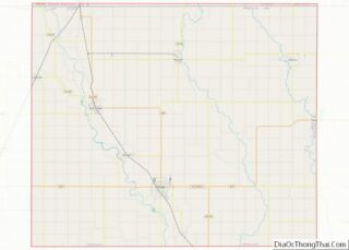
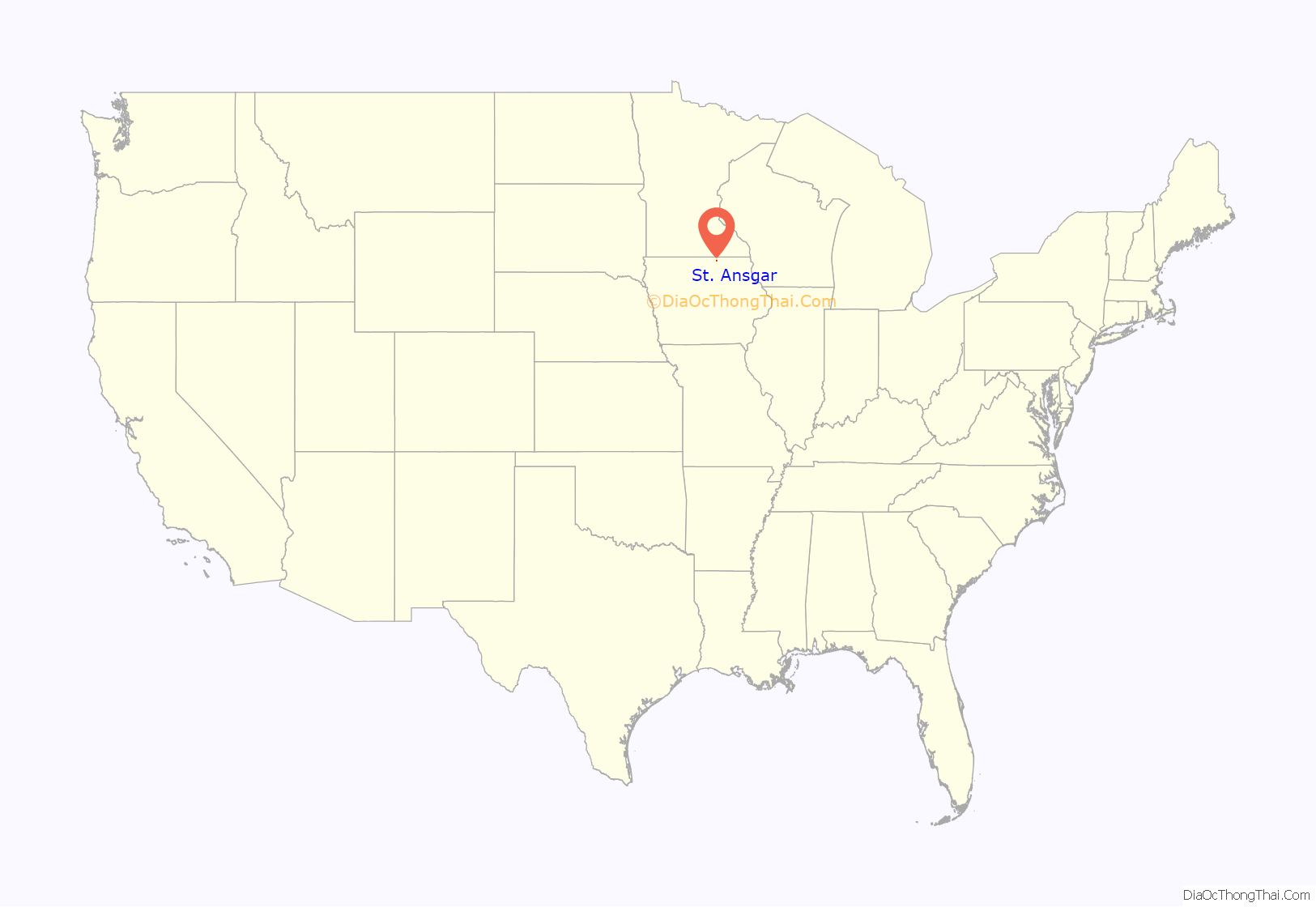
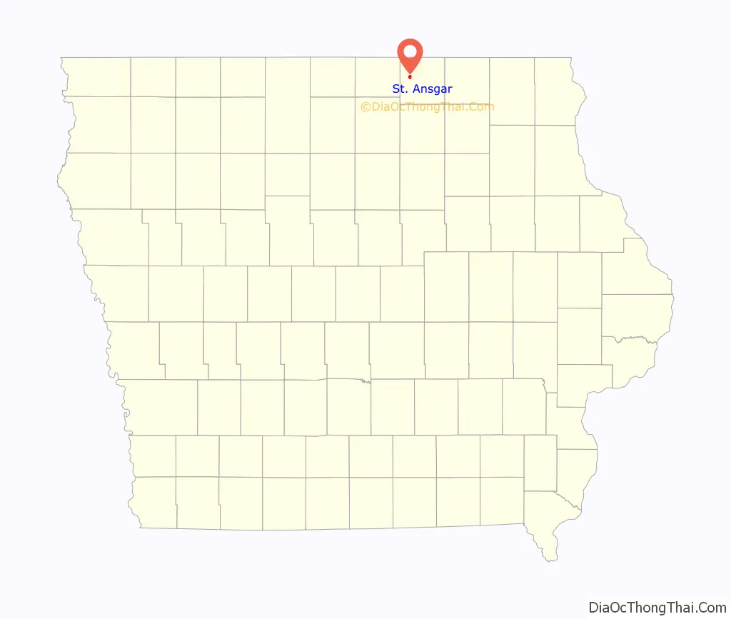
St. Ansgar location map. Where is St. Ansgar city?
History
St. Ansgar is named for the patron saint of Scandinavia, a French Benedictine monk who Christianized much of Denmark, Sweden, and northern Germany between 830 and 865 A.D. The town is the site of First Lutheran Church of St. Ansgar, a pioneer Norwegian Lutheran Church founded in December 1853 by Rev. Claus Lauritz Clausen, who was commissioned by the Lutheran Church of Norway to form congregations for Norwegian immigrants in Wisconsin, Iowa, and Minnesota.
The St. Ansgar church, congregation and town served as a center for the dispersion of Norwegian immigrant settlers north across the border into Minnesota and on into western Iowa from the mid-1850s into the late 1870s. Rev. Clausen formed 21 additional congregations. First Lutheran Church of St. Ansgar, a graceful building constructed of limestone quarried from the banks of the nearby Cedar River and native hardwoods, is the oldest continuously active Lutheran congregation west of the Mississippi River (Booklet published by the First Lutheran Church of St. Ansgar on the occasion of the 150th anniversary of the congregation, 1853–2003; available in the Iowa State Historical Society collection, Iowa City, Iowa, and at the church.)
Pastors in the Church of Norway received university training in census record keeping; the current parish keeps copies of congregation records continuously from founding to the present, making these records a significant genealogical resource.
A fortified stone outbuilding locally called Fort Severson, 5.5 miles northwest of St. Ansgar near Carpenter, Iowa, was built in 1867 by settlers associated with the Clausen settlement anxious about the continued presence of Dakota Indians traveling through the area along the Deer Creek and the Cedar River. The settlers fears were animated by the killing of settlers during the Spirit Lake Massacre in 1857 and the Dakota Uprising of 1862. The distinctively fortified building, which functioned both as a barn and a fort, is the sole surviving example of many that were built.
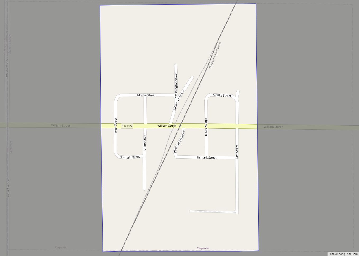
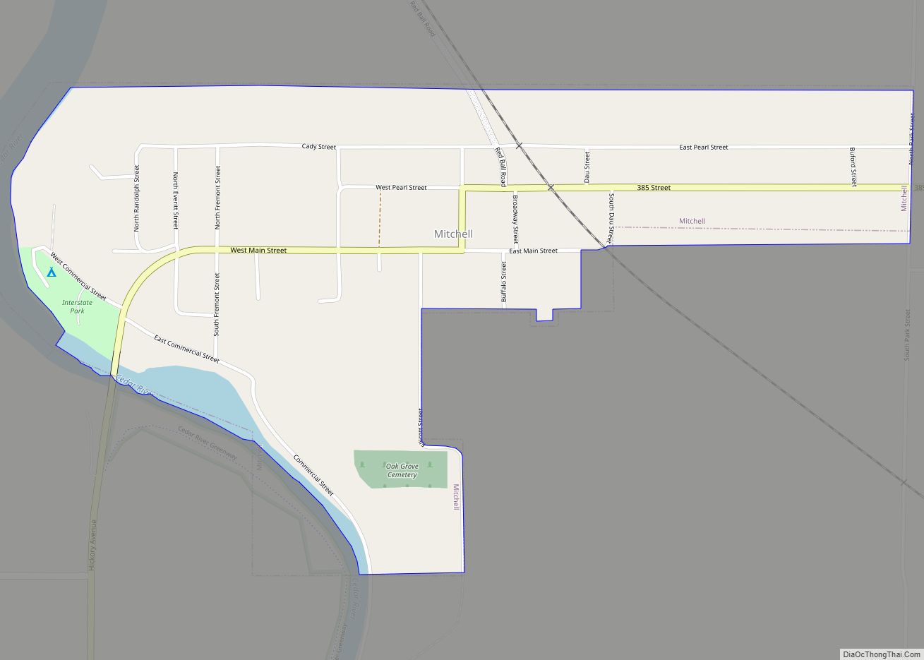
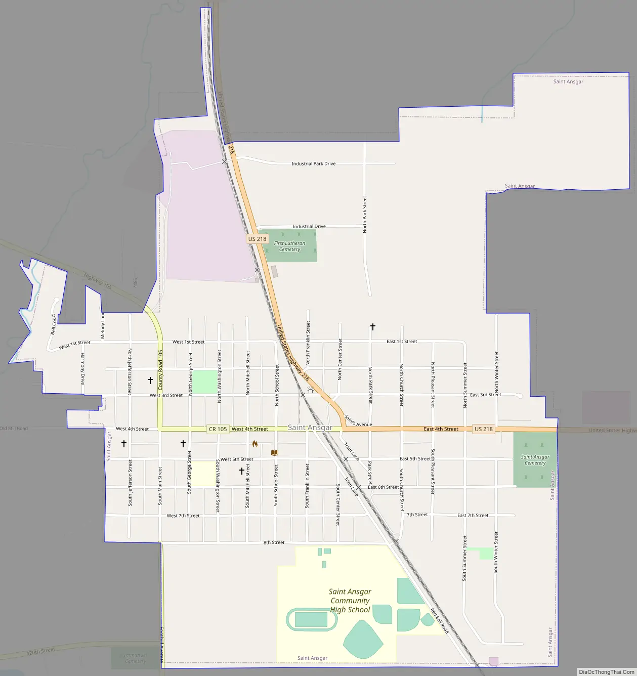
St. Ansgar Road Map
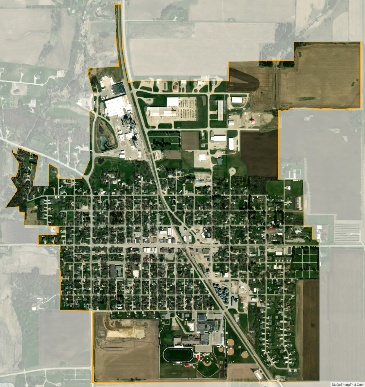
St. Ansgar city Satellite Map
Geography
St. Ansgar is located at 43°22′44″N 92°55′10″W / 43.37889°N 92.91944°W / 43.37889; -92.91944 (43.378814, -92.919576).
According to the United States Census Bureau, the city has a total area of 1.03 square miles (2.67 km), all land.
See also
Map of Iowa State and its subdivision:- Adair
- Adams
- Allamakee
- Appanoose
- Audubon
- Benton
- Black Hawk
- Boone
- Bremer
- Buchanan
- Buena Vista
- Butler
- Calhoun
- Carroll
- Cass
- Cedar
- Cerro Gordo
- Cherokee
- Chickasaw
- Clarke
- Clay
- Clayton
- Clinton
- Crawford
- Dallas
- Davis
- Decatur
- Delaware
- Des Moines
- Dickinson
- Dubuque
- Emmet
- Fayette
- Floyd
- Franklin
- Fremont
- Greene
- Grundy
- Guthrie
- Hamilton
- Hancock
- Hardin
- Harrison
- Henry
- Howard
- Humboldt
- Ida
- Iowa
- Jackson
- Jasper
- Jefferson
- Johnson
- Jones
- Keokuk
- Kossuth
- Lee
- Linn
- Louisa
- Lucas
- Lyon
- Madison
- Mahaska
- Marion
- Marshall
- Mills
- Mitchell
- Monona
- Monroe
- Montgomery
- Muscatine
- O'Brien
- Osceola
- Page
- Palo Alto
- Plymouth
- Pocahontas
- Polk
- Pottawattamie
- Poweshiek
- Ringgold
- Sac
- Scott
- Shelby
- Sioux
- Story
- Tama
- Taylor
- Union
- Van Buren
- Wapello
- Warren
- Washington
- Wayne
- Webster
- Winnebago
- Winneshiek
- Woodbury
- Worth
- Wright
- Alabama
- Alaska
- Arizona
- Arkansas
- California
- Colorado
- Connecticut
- Delaware
- District of Columbia
- Florida
- Georgia
- Hawaii
- Idaho
- Illinois
- Indiana
- Iowa
- Kansas
- Kentucky
- Louisiana
- Maine
- Maryland
- Massachusetts
- Michigan
- Minnesota
- Mississippi
- Missouri
- Montana
- Nebraska
- Nevada
- New Hampshire
- New Jersey
- New Mexico
- New York
- North Carolina
- North Dakota
- Ohio
- Oklahoma
- Oregon
- Pennsylvania
- Rhode Island
- South Carolina
- South Dakota
- Tennessee
- Texas
- Utah
- Vermont
- Virginia
- Washington
- West Virginia
- Wisconsin
- Wyoming