Storm Lake is a city in and the county seat of Buena Vista County, Iowa, United States. The population was 11,269 in the 2020 census, an increase from 10,076 in the 2000 census. Located along the northern shore of the Storm Lake reservoir, the city is home to Buena Vista University, King’s Pointe Waterpark Resort, the Living Heritage Tree Museum, and the Santa’s Castle holiday attraction. It is the principal city of the Storm Lake micropolitan area.
| Name: | Storm Lake city |
|---|---|
| LSAD Code: | 25 |
| LSAD Description: | city (suffix) |
| State: | Iowa |
| County: | Buena Vista County |
| Incorporated: | February 28, 1873 |
| Elevation: | 1,421 ft (433 m) |
| Total Area: | 5.38 sq mi (13.92 km²) |
| Land Area: | 5.38 sq mi (13.92 km²) |
| Water Area: | 0.00 sq mi (0.00 km²) |
| Total Population: | 11,269 |
| Population Density: | 2,096.17/sq mi (809.30/km²) |
| ZIP code: | 50588 |
| Area code: | 712 |
| FIPS code: | 1975630 |
| GNISfeature ID: | 0462017 |
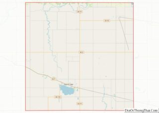
Online Interactive Map
Click on ![]() to view map in "full screen" mode.
to view map in "full screen" mode.
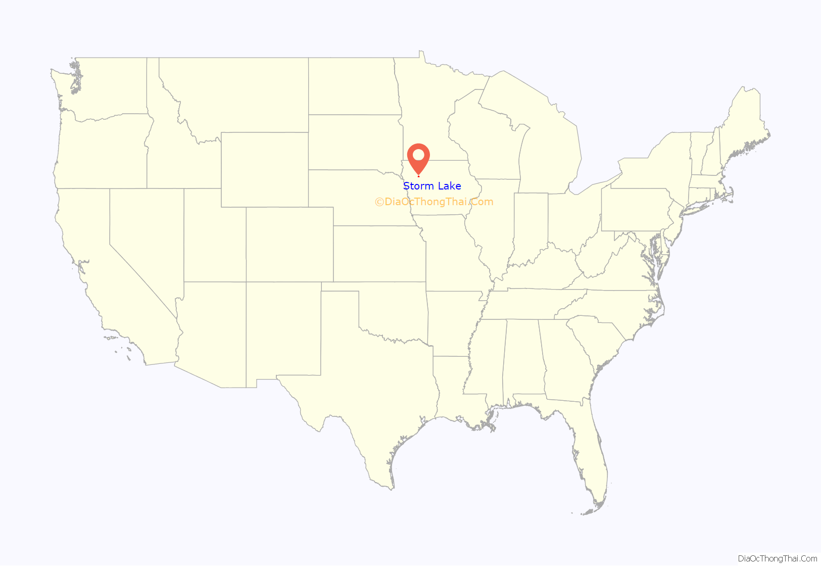
Storm Lake location map. Where is Storm Lake city?
History
Storm Lake was incorporated in 1873. The city of Storm Lake was named from the lake where it is said a trapper experienced a severe storm. A more romantic legend claims the lake took its name after two star-crossed lovers from opposed Native American bands paddled out for a secret rendezvous, only to be drowned as a sudden storm blew in.
As of the 2020 census, Storm Lake was the most ethnically diverse city in Iowa, with over 60% of the population self identifying as non-white. Additionally, 86.5% of students enrolled in the public school district are non-Caucasian. Storm Lake’s diversity is the result of many factors, including refugee resettlement programs and an abundance of meat packing jobs drawing migrant workers to the town.
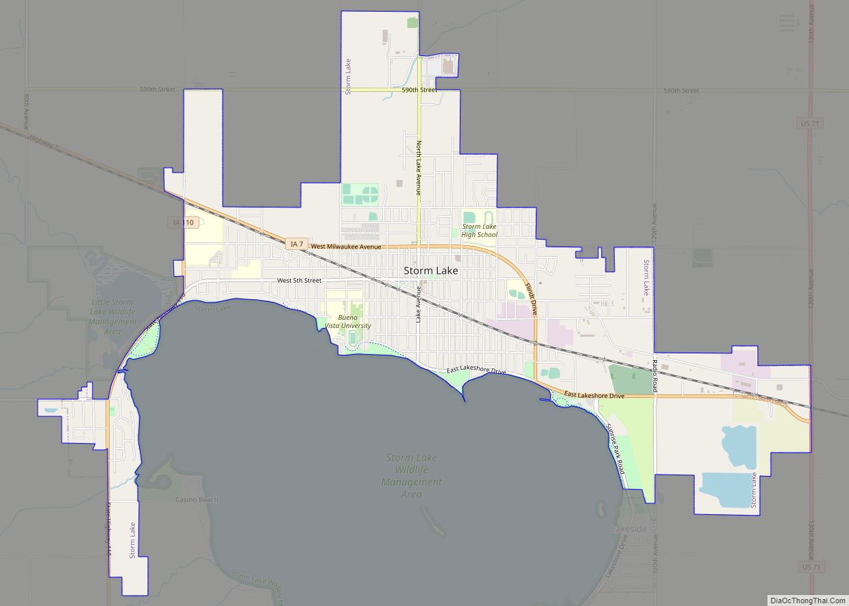
Storm Lake Road Map
Storm Lake city Satellite Map
Geography
Storm Lake is located in the northwestern part of the state, along its namesake Storm Lake. Much of the lakefront is open to the public in parks and preserves.
According to the United States Census Bureau, the city has a total area of 4.09 square miles (10.59 km), all land.
Climate
See also
Map of Iowa State and its subdivision:- Adair
- Adams
- Allamakee
- Appanoose
- Audubon
- Benton
- Black Hawk
- Boone
- Bremer
- Buchanan
- Buena Vista
- Butler
- Calhoun
- Carroll
- Cass
- Cedar
- Cerro Gordo
- Cherokee
- Chickasaw
- Clarke
- Clay
- Clayton
- Clinton
- Crawford
- Dallas
- Davis
- Decatur
- Delaware
- Des Moines
- Dickinson
- Dubuque
- Emmet
- Fayette
- Floyd
- Franklin
- Fremont
- Greene
- Grundy
- Guthrie
- Hamilton
- Hancock
- Hardin
- Harrison
- Henry
- Howard
- Humboldt
- Ida
- Iowa
- Jackson
- Jasper
- Jefferson
- Johnson
- Jones
- Keokuk
- Kossuth
- Lee
- Linn
- Louisa
- Lucas
- Lyon
- Madison
- Mahaska
- Marion
- Marshall
- Mills
- Mitchell
- Monona
- Monroe
- Montgomery
- Muscatine
- O'Brien
- Osceola
- Page
- Palo Alto
- Plymouth
- Pocahontas
- Polk
- Pottawattamie
- Poweshiek
- Ringgold
- Sac
- Scott
- Shelby
- Sioux
- Story
- Tama
- Taylor
- Union
- Van Buren
- Wapello
- Warren
- Washington
- Wayne
- Webster
- Winnebago
- Winneshiek
- Woodbury
- Worth
- Wright
- Alabama
- Alaska
- Arizona
- Arkansas
- California
- Colorado
- Connecticut
- Delaware
- District of Columbia
- Florida
- Georgia
- Hawaii
- Idaho
- Illinois
- Indiana
- Iowa
- Kansas
- Kentucky
- Louisiana
- Maine
- Maryland
- Massachusetts
- Michigan
- Minnesota
- Mississippi
- Missouri
- Montana
- Nebraska
- Nevada
- New Hampshire
- New Jersey
- New Mexico
- New York
- North Carolina
- North Dakota
- Ohio
- Oklahoma
- Oregon
- Pennsylvania
- Rhode Island
- South Carolina
- South Dakota
- Tennessee
- Texas
- Utah
- Vermont
- Virginia
- Washington
- West Virginia
- Wisconsin
- Wyoming
