Struble is a city in Plymouth County, Iowa, United States, along the West Branch of the Floyd River. The population was 67 at the time of the 2020 census.
| Name: | Struble city |
|---|---|
| LSAD Code: | 25 |
| LSAD Description: | city (suffix) |
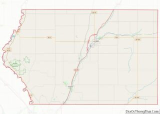
| State: | Iowa |
| County: | Plymouth County |
| Elevation: | 1,266 ft (386 m) |
| Total Area: | 0.16 sq mi (0.40 km²) |
| Land Area: | 0.16 sq mi (0.40 km²) |
| Water Area: | 0.00 sq mi (0.00 km²) |
| Total Population: | 67 |
| Population Density: | 429.49/sq mi (165.64/km²) |
| ZIP code: | 51031 |
| Area code: | 712 |
| FIPS code: | 1975945 |
| GNISfeature ID: | 0462040 |
Online Interactive Map
Click on ![]() to view map in "full screen" mode.
to view map in "full screen" mode.
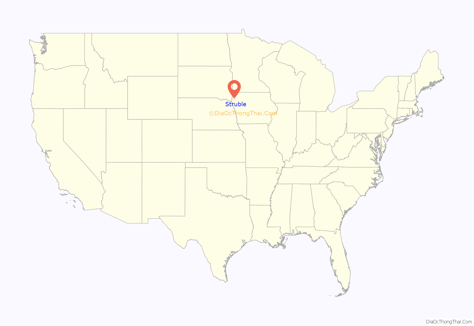
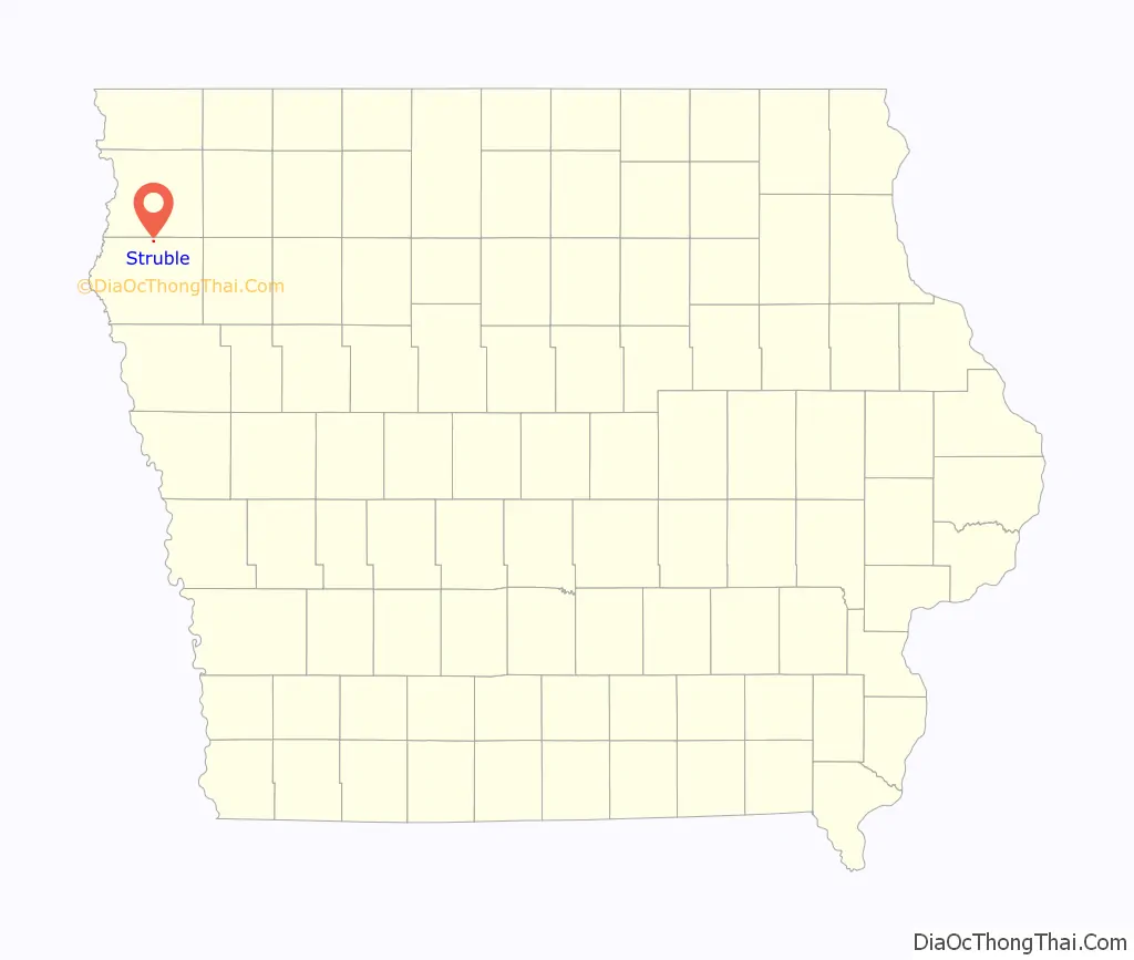
Struble location map. Where is Struble city?
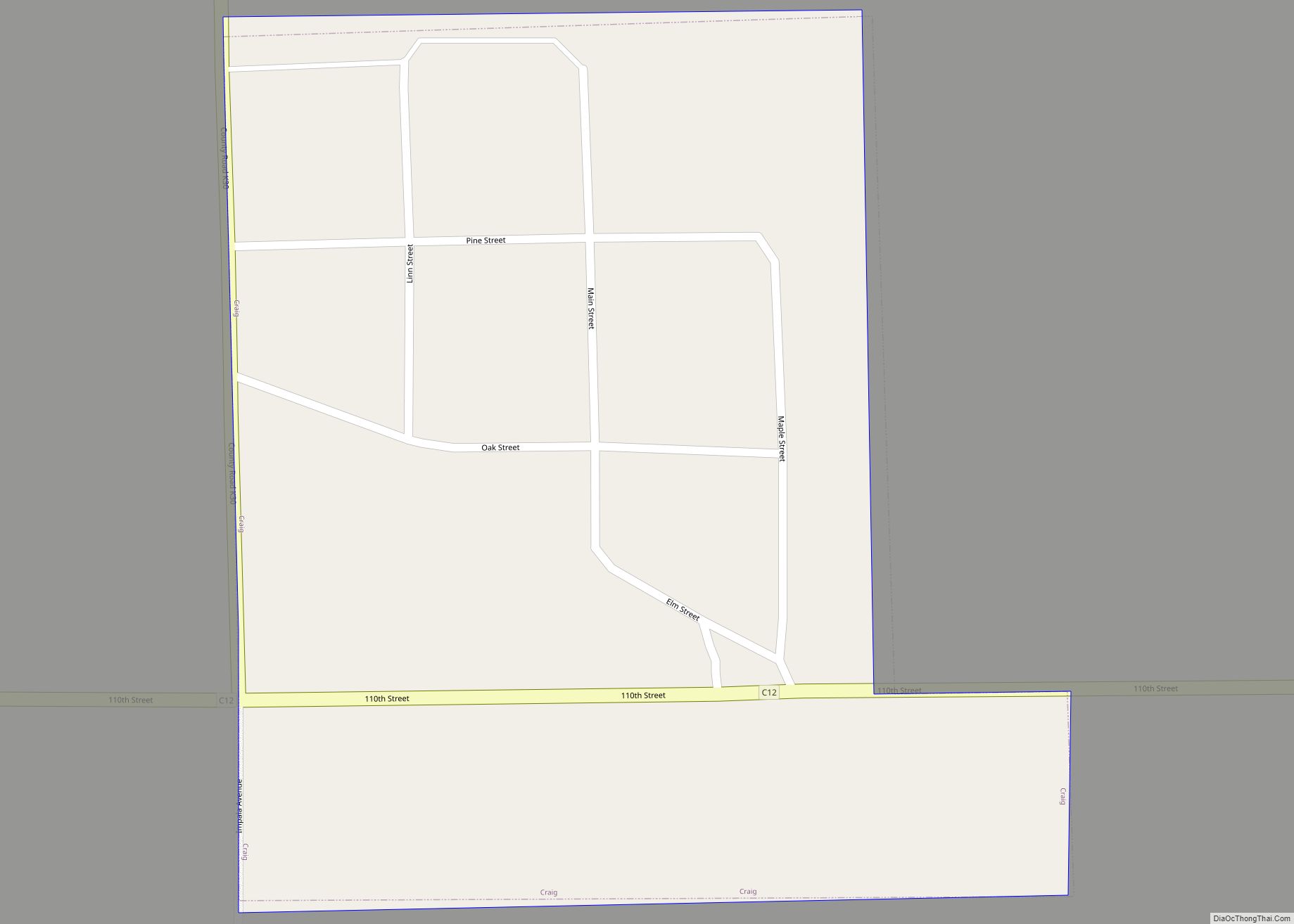
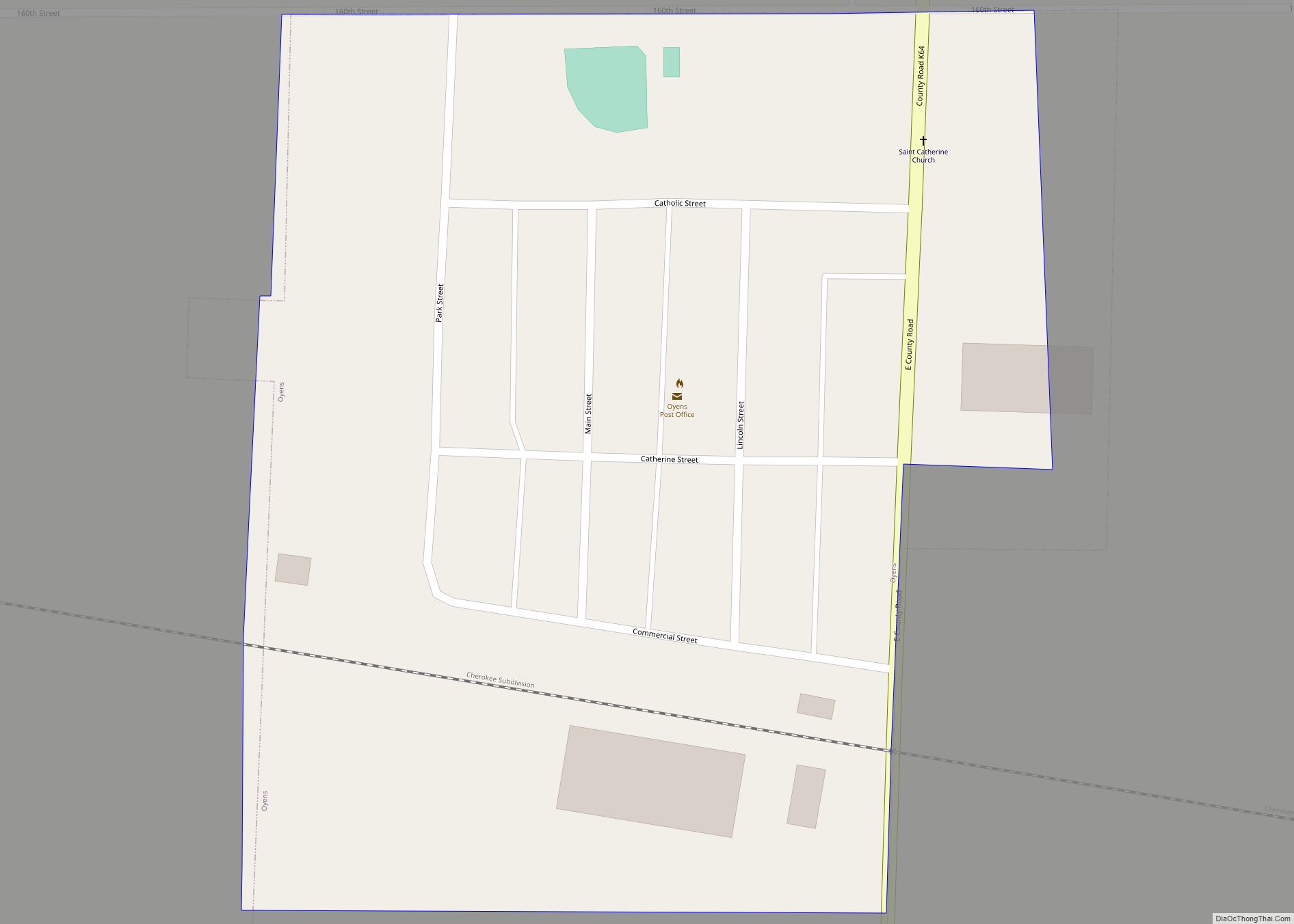
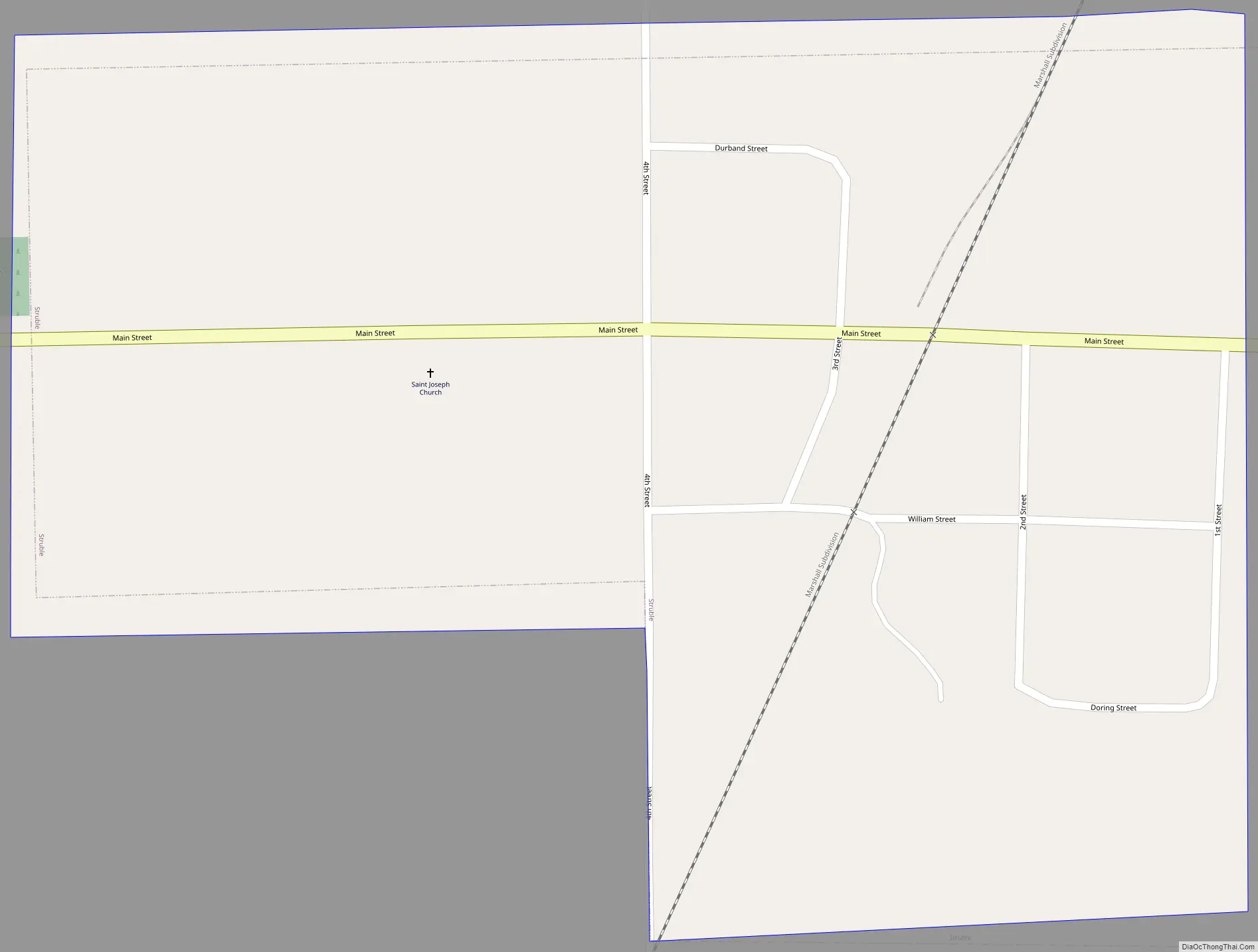
Struble Road Map
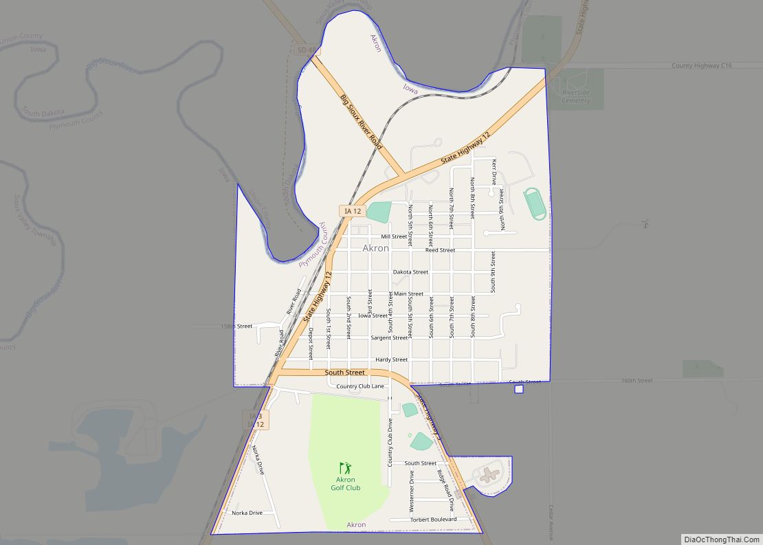
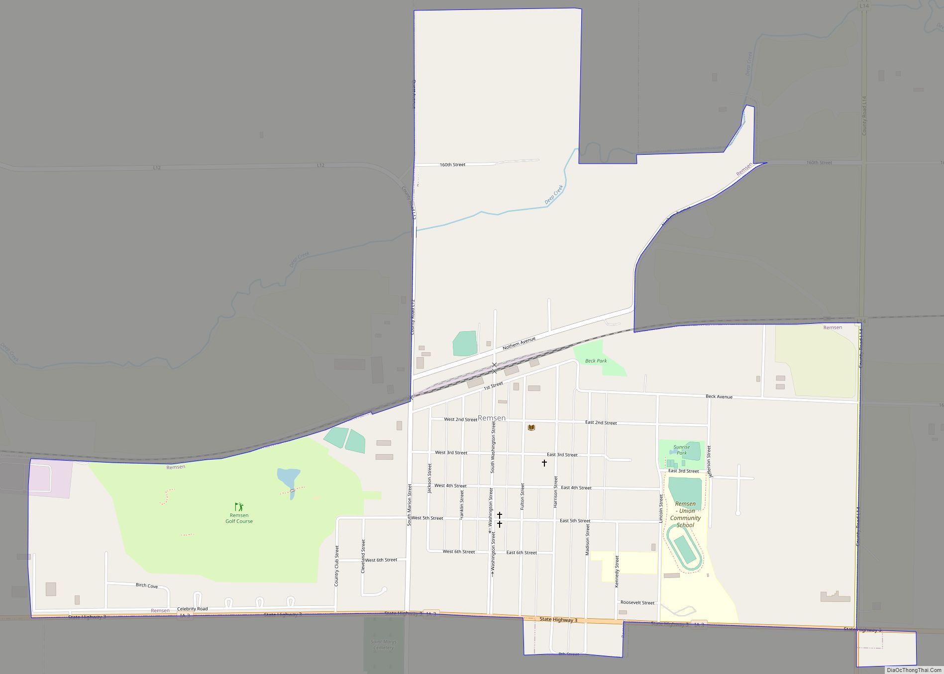
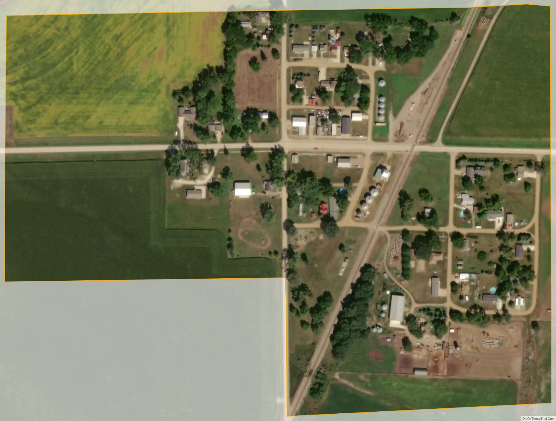
Struble city Satellite Map
Geography
Struble is located in Elgin Township, some seven miles north of LeMars, at 42°53′39″N 96°11′36″W / 42.89417°N 96.19333°W / 42.89417; -96.19333 (42.894252, -96.193304).
According to the United States Census Bureau, the city has a total area of 0.16 square miles (0.41 km), all land.
There is one main street running east–west with commercial buildings, now vacant. At the west end of Main Street is one active church and a cemetery. Just to the east of town a BNSF Railway line runs north–south. Most of Struble consists of well-kept private homes. Beyond are cultivated fields on gently rolling farmland.
See also
Map of Iowa State and its subdivision:- Adair
- Adams
- Allamakee
- Appanoose
- Audubon
- Benton
- Black Hawk
- Boone
- Bremer
- Buchanan
- Buena Vista
- Butler
- Calhoun
- Carroll
- Cass
- Cedar
- Cerro Gordo
- Cherokee
- Chickasaw
- Clarke
- Clay
- Clayton
- Clinton
- Crawford
- Dallas
- Davis
- Decatur
- Delaware
- Des Moines
- Dickinson
- Dubuque
- Emmet
- Fayette
- Floyd
- Franklin
- Fremont
- Greene
- Grundy
- Guthrie
- Hamilton
- Hancock
- Hardin
- Harrison
- Henry
- Howard
- Humboldt
- Ida
- Iowa
- Jackson
- Jasper
- Jefferson
- Johnson
- Jones
- Keokuk
- Kossuth
- Lee
- Linn
- Louisa
- Lucas
- Lyon
- Madison
- Mahaska
- Marion
- Marshall
- Mills
- Mitchell
- Monona
- Monroe
- Montgomery
- Muscatine
- O'Brien
- Osceola
- Page
- Palo Alto
- Plymouth
- Pocahontas
- Polk
- Pottawattamie
- Poweshiek
- Ringgold
- Sac
- Scott
- Shelby
- Sioux
- Story
- Tama
- Taylor
- Union
- Van Buren
- Wapello
- Warren
- Washington
- Wayne
- Webster
- Winnebago
- Winneshiek
- Woodbury
- Worth
- Wright
- Alabama
- Alaska
- Arizona
- Arkansas
- California
- Colorado
- Connecticut
- Delaware
- District of Columbia
- Florida
- Georgia
- Hawaii
- Idaho
- Illinois
- Indiana
- Iowa
- Kansas
- Kentucky
- Louisiana
- Maine
- Maryland
- Massachusetts
- Michigan
- Minnesota
- Mississippi
- Missouri
- Montana
- Nebraska
- Nevada
- New Hampshire
- New Jersey
- New Mexico
- New York
- North Carolina
- North Dakota
- Ohio
- Oklahoma
- Oregon
- Pennsylvania
- Rhode Island
- South Carolina
- South Dakota
- Tennessee
- Texas
- Utah
- Vermont
- Virginia
- Washington
- West Virginia
- Wisconsin
- Wyoming