Sun Valley Lake is an unincorporated community and census-designated place in Ringgold County, Iowa, United States. Its population was 161 as of the 2010 census. The community is located in northeastern Ringgold County on the shores of its namesake lake.
| Name: | Sun Valley Lake CDP |
|---|---|
| LSAD Code: | 57 |
| LSAD Description: | CDP (suffix) |
| State: | Iowa |
| County: | Ringgold County |
| Elevation: | 1,119 ft (341 m) |
| Total Area: | 2.71 sq mi (7.01 km²) |
| Land Area: | 2.05 sq mi (5.31 km²) |
| Water Area: | 0.66 sq mi (1.70 km²) |
| Total Population: | 187 |
| Population Density: | 91.13/sq mi (35.19/km²) |
| Area code: | 641 |
| FIPS code: | 1976415 |
| GNISfeature ID: | 2585488 |
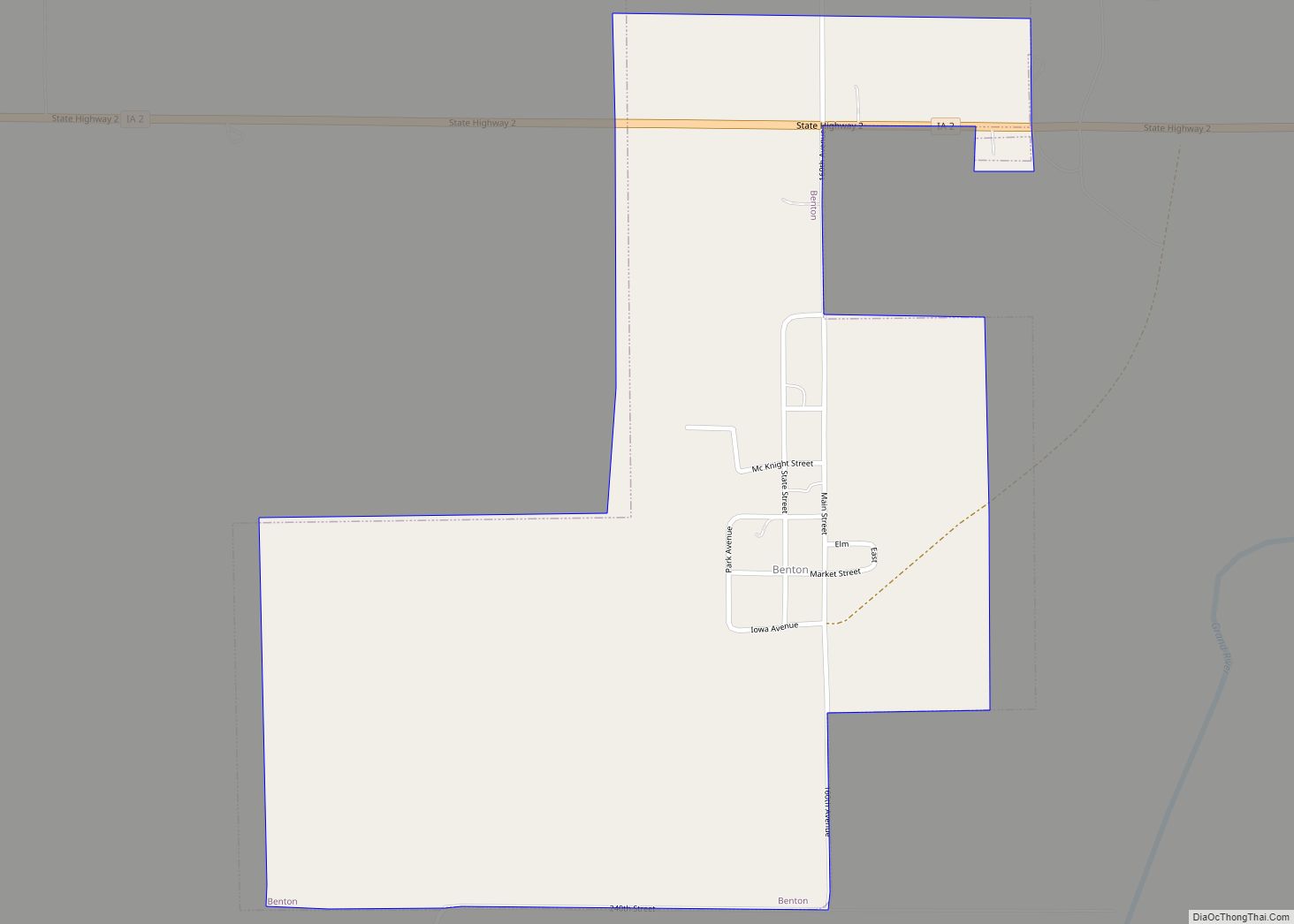
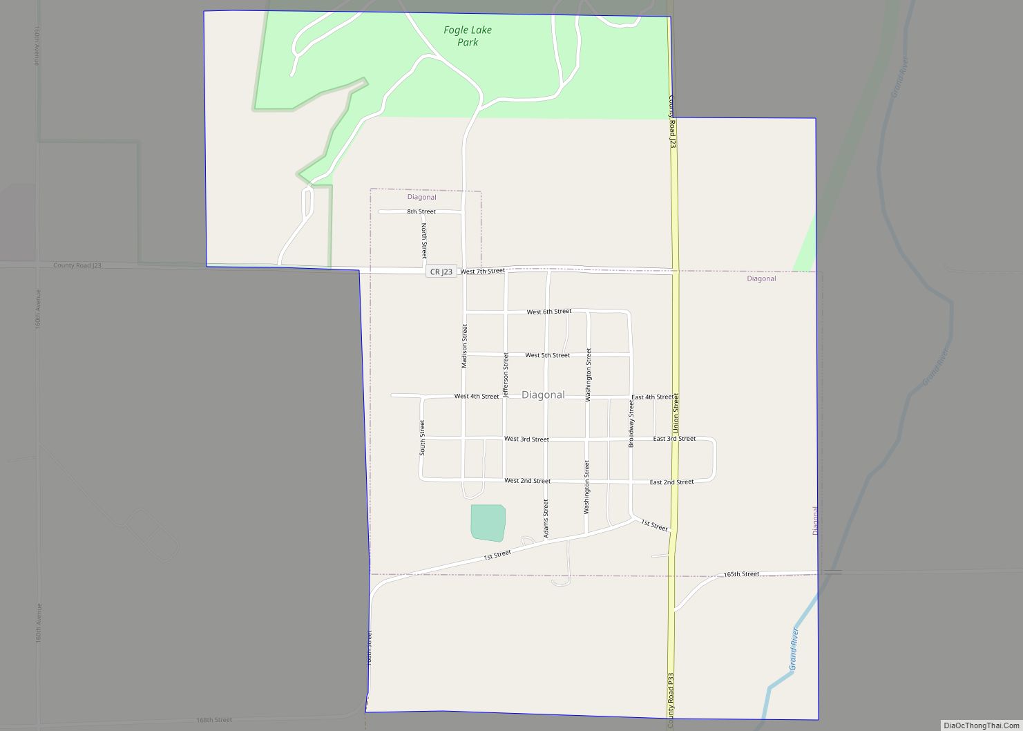
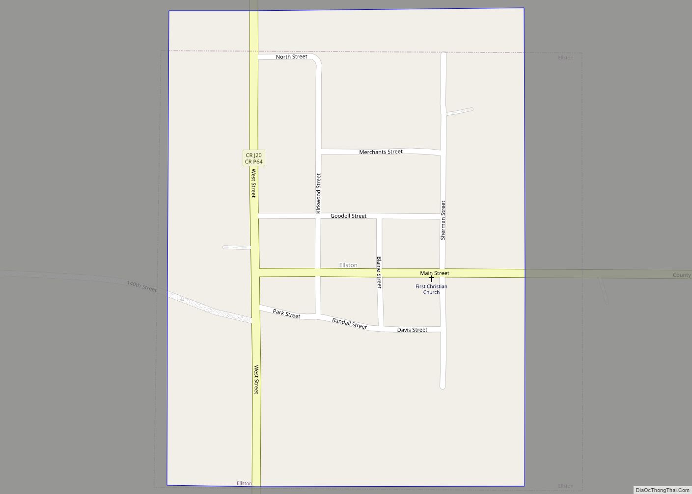
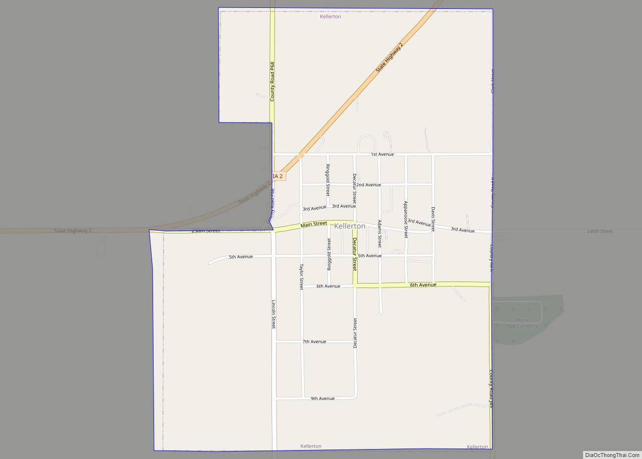
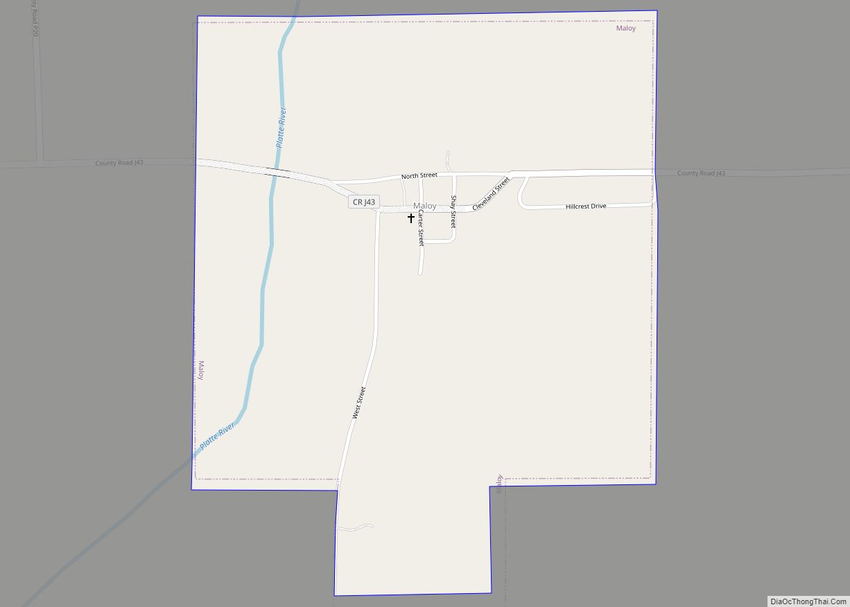
Online Interactive Map
Click on ![]() to view map in "full screen" mode.
to view map in "full screen" mode.
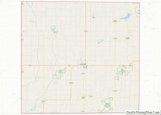
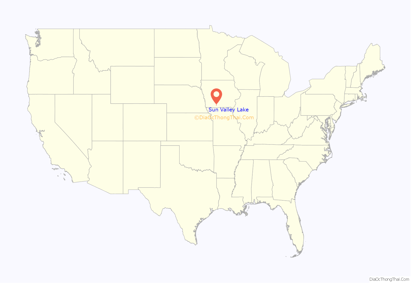
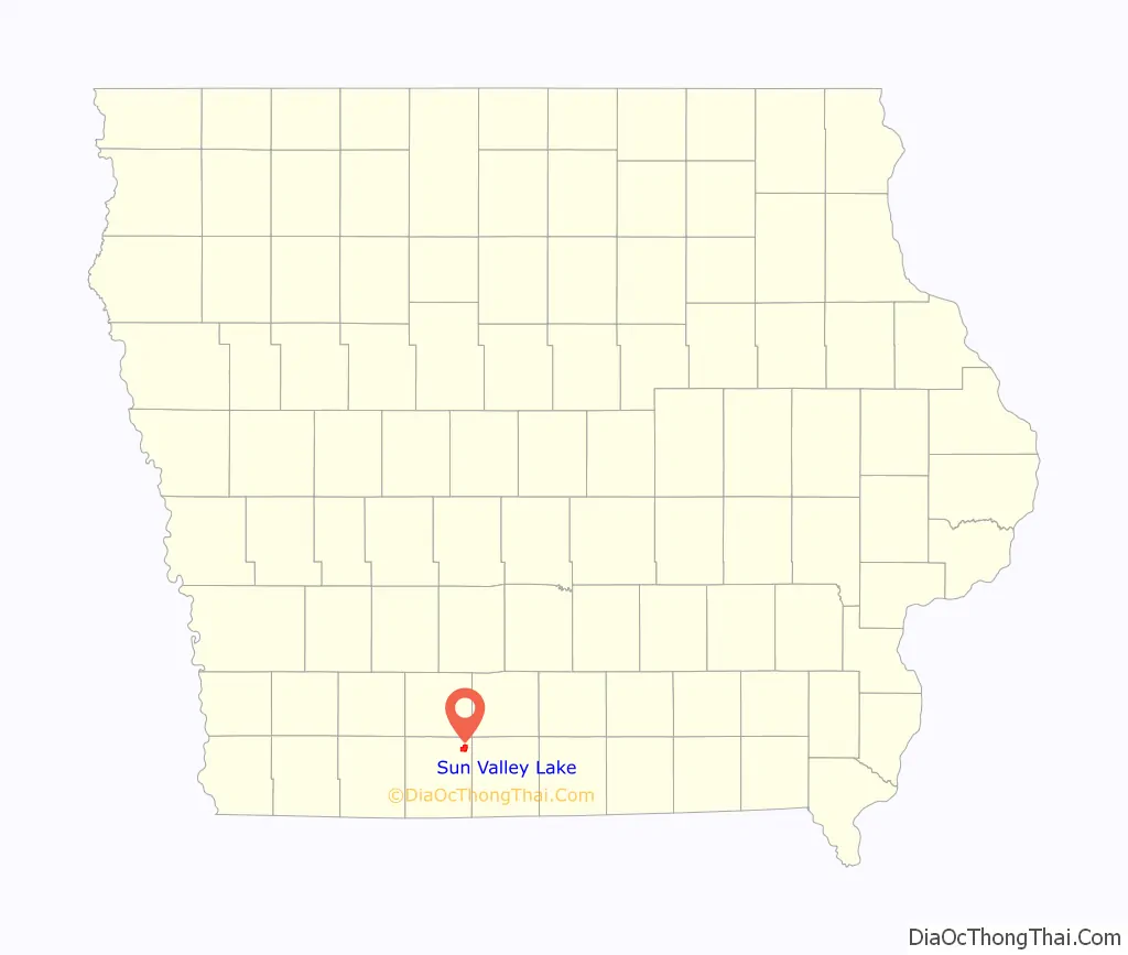
Sun Valley Lake location map. Where is Sun Valley Lake CDP?
Sun Valley Lake Road Map
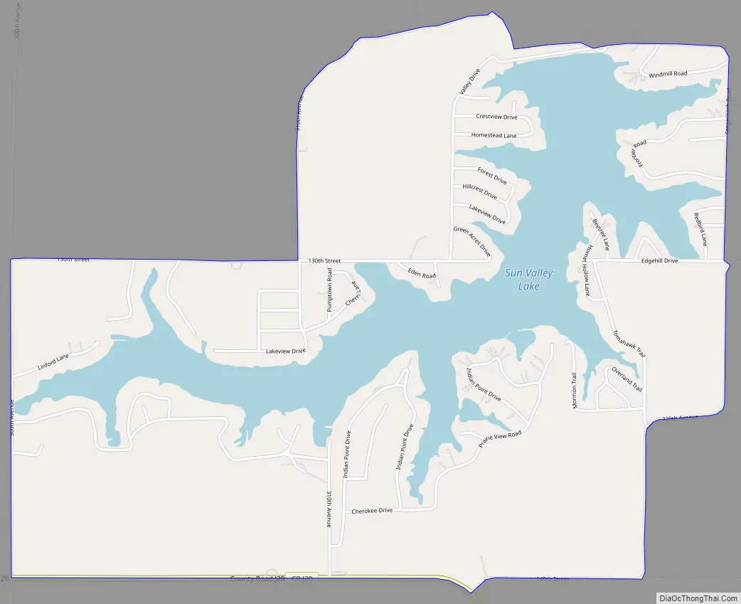
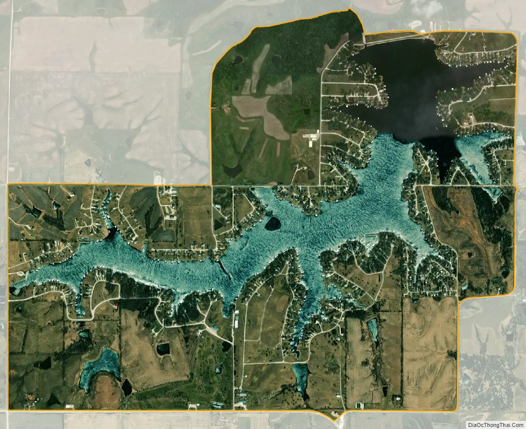
Sun Valley Lake city Satellite Map
Geography
Sun Valley Lake is located at 40°51′04″N 94°04′06″W / 40.8511621°N 94.0683558°W / 40.8511621; -94.0683558. According to the U.S. Census Bureau, the community has an area of 3.073 square miles (7.96 km), of which 2.419 square miles (6.27 km) is land and 0.654 square miles (1.69 km) is water.
See also
Map of Iowa State and its subdivision:- Adair
- Adams
- Allamakee
- Appanoose
- Audubon
- Benton
- Black Hawk
- Boone
- Bremer
- Buchanan
- Buena Vista
- Butler
- Calhoun
- Carroll
- Cass
- Cedar
- Cerro Gordo
- Cherokee
- Chickasaw
- Clarke
- Clay
- Clayton
- Clinton
- Crawford
- Dallas
- Davis
- Decatur
- Delaware
- Des Moines
- Dickinson
- Dubuque
- Emmet
- Fayette
- Floyd
- Franklin
- Fremont
- Greene
- Grundy
- Guthrie
- Hamilton
- Hancock
- Hardin
- Harrison
- Henry
- Howard
- Humboldt
- Ida
- Iowa
- Jackson
- Jasper
- Jefferson
- Johnson
- Jones
- Keokuk
- Kossuth
- Lee
- Linn
- Louisa
- Lucas
- Lyon
- Madison
- Mahaska
- Marion
- Marshall
- Mills
- Mitchell
- Monona
- Monroe
- Montgomery
- Muscatine
- O'Brien
- Osceola
- Page
- Palo Alto
- Plymouth
- Pocahontas
- Polk
- Pottawattamie
- Poweshiek
- Ringgold
- Sac
- Scott
- Shelby
- Sioux
- Story
- Tama
- Taylor
- Union
- Van Buren
- Wapello
- Warren
- Washington
- Wayne
- Webster
- Winnebago
- Winneshiek
- Woodbury
- Worth
- Wright
- Alabama
- Alaska
- Arizona
- Arkansas
- California
- Colorado
- Connecticut
- Delaware
- District of Columbia
- Florida
- Georgia
- Hawaii
- Idaho
- Illinois
- Indiana
- Iowa
- Kansas
- Kentucky
- Louisiana
- Maine
- Maryland
- Massachusetts
- Michigan
- Minnesota
- Mississippi
- Missouri
- Montana
- Nebraska
- Nevada
- New Hampshire
- New Jersey
- New Mexico
- New York
- North Carolina
- North Dakota
- Ohio
- Oklahoma
- Oregon
- Pennsylvania
- Rhode Island
- South Carolina
- South Dakota
- Tennessee
- Texas
- Utah
- Vermont
- Virginia
- Washington
- West Virginia
- Wisconsin
- Wyoming