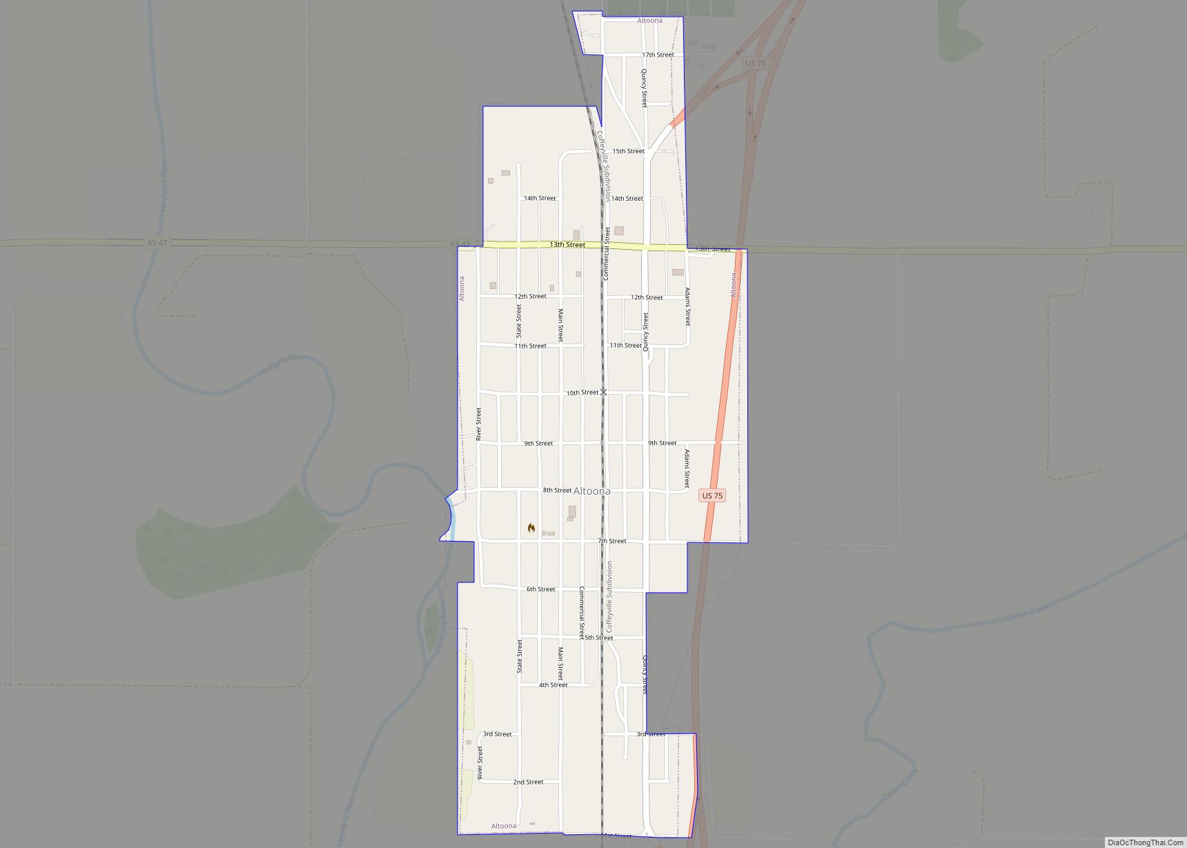
Altoona is a city in Wilson County, Kansas, United States, along the Verdigris River. As of the 2020 census, the population of the city was 354.
| Name: | Altoona city |
|---|---|
| LSAD Code: | 25 |
| LSAD Description: | city (suffix) |
| State: | Kansas |
| County: | Wilson County |
| Founded: | 1869 |
| Incorporated: | 1887 |
| Elevation: | 827 ft (252 m) |
| Total Area: | 0.54 sq mi (1.39 km²) |
| Land Area: | 0.53 sq mi (1.38 km²) |
| Water Area: | 0.00 sq mi (0.01 km²) |
| Total Population: | 354 |
| Population Density: | 660/sq mi (250/km²) |
| ZIP code: | 66710 |
| Area code: | 620 |
| FIPS code: | 2001625 |
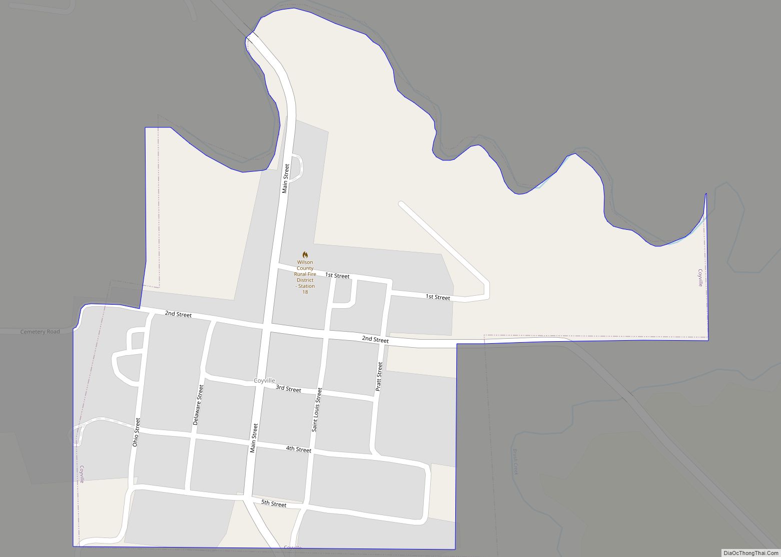
Online Interactive Map
Click on ![]() to view map in "full screen" mode.
to view map in "full screen" mode.
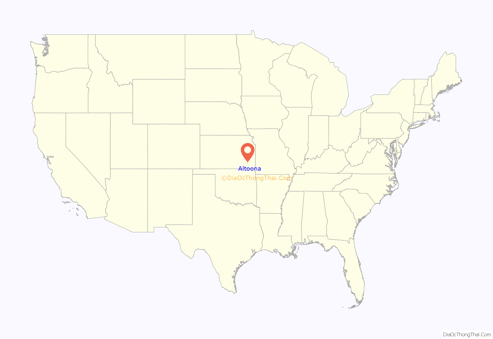
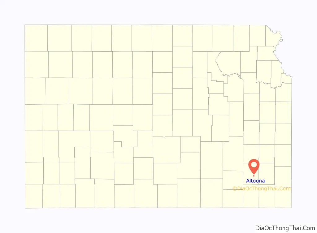
Altoona location map. Where is Altoona city?
History
Altoona was originally called Geddesburg when it was founded in 1869. It was renamed Altoona in 1870, after Altoona, Pennsylvania. The first post office in Altoona was established in April 1870.
Altoona experienced growth when the railroad was built through the settlement about 1885.
As of 1916, Altoona was a sundown town, where African Americans were not allowed to live.
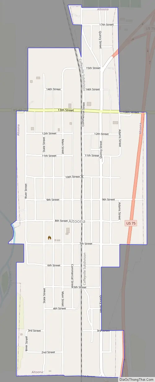
Altoona Road Map
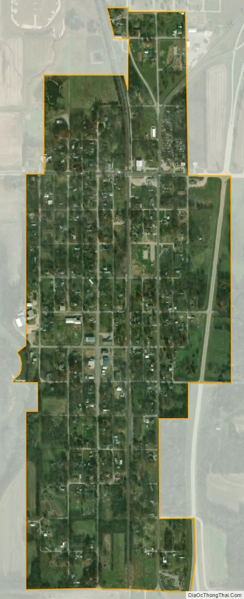
Altoona city Satellite Map
Geography
Altoona is located at 37°31′36″N 95°39′43″W / 37.52667°N 95.66194°W / 37.52667; -95.66194 (37.526796, -95.661903). According to the United States Census Bureau, the city has a total area of 0.55 square miles (1.42 km), all of it land.
See also
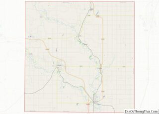
Map of Kansas State and its subdivision:- Allen
- Anderson
- Atchison
- Barber
- Barton
- Bourbon
- Brown
- Butler
- Chase
- Chautauqua
- Cherokee
- Cheyenne
- Clark
- Clay
- Cloud
- Coffey
- Comanche
- Cowley
- Crawford
- Decatur
- Dickinson
- Doniphan
- Douglas
- Edwards
- Elk
- Ellis
- Ellsworth
- Finney
- Ford
- Franklin
- Geary
- Gove
- Graham
- Grant
- Gray
- Greeley
- Greenwood
- Hamilton
- Harper
- Harvey
- Haskell
- Hodgeman
- Jackson
- Jefferson
- Jewell
- Johnson
- Kearny
- Kingman
- Kiowa
- Labette
- Lane
- Leavenworth
- Lincoln
- Linn
- Logan
- Lyon
- Marion
- Marshall
- McPherson
- Meade
- Miami
- Mitchell
- Montgomery
- Morris
- Morton
- Nemaha
- Neosho
- Ness
- Norton
- Osage
- Osborne
- Ottawa
- Pawnee
- Phillips
- Pottawatomie
- Pratt
- Rawlins
- Reno
- Republic
- Rice
- Riley
- Rooks
- Rush
- Russell
- Saline
- Scott
- Sedgwick
- Seward
- Shawnee
- Sheridan
- Sherman
- Smith
- Stafford
- Stanton
- Stevens
- Sumner
- Thomas
- Trego
- Wabaunsee
- Wallace
- Washington
- Wichita
- Wilson
- Woodson
- Wyandotte
- Alabama
- Alaska
- Arizona
- Arkansas
- California
- Colorado
- Connecticut
- Delaware
- District of Columbia
- Florida
- Georgia
- Hawaii
- Idaho
- Illinois
- Indiana
- Iowa
- Kansas
- Kentucky
- Louisiana
- Maine
- Maryland
- Massachusetts
- Michigan
- Minnesota
- Mississippi
- Missouri
- Montana
- Nebraska
- Nevada
- New Hampshire
- New Jersey
- New Mexico
- New York
- North Carolina
- North Dakota
- Ohio
- Oklahoma
- Oregon
- Pennsylvania
- Rhode Island
- South Carolina
- South Dakota
- Tennessee
- Texas
- Utah
- Vermont
- Virginia
- Washington
- West Virginia
- Wisconsin
- Wyoming