Blue Rapids is a city in Marshall County, Kansas, United States. As of the 2020 census, the population of the city was 928.
| Name: | Blue Rapids city |
|---|---|
| LSAD Code: | 25 |
| LSAD Description: | city (suffix) |
| State: | Kansas |
| County: | Marshall County |
| Founded: | 1869 |
| Incorporated: | March 20, 1872 |
| Elevation: | 1,155 ft (352 m) |
| Total Area: | 2.00 sq mi (5.19 km²) |
| Land Area: | 1.99 sq mi (5.14 km²) |
| Water Area: | 0.02 sq mi (0.05 km²) |
| Total Population: | 928 |
| Population Density: | 460/sq mi (180/km²) |
| ZIP code: | 66411 |
| Area code: | 785 |
| FIPS code: | 2007650 |
| Website: | bluerapids.org |
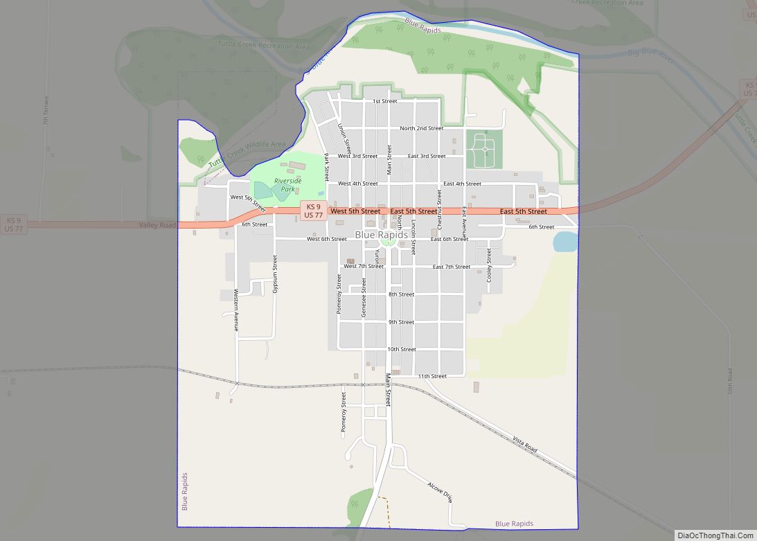
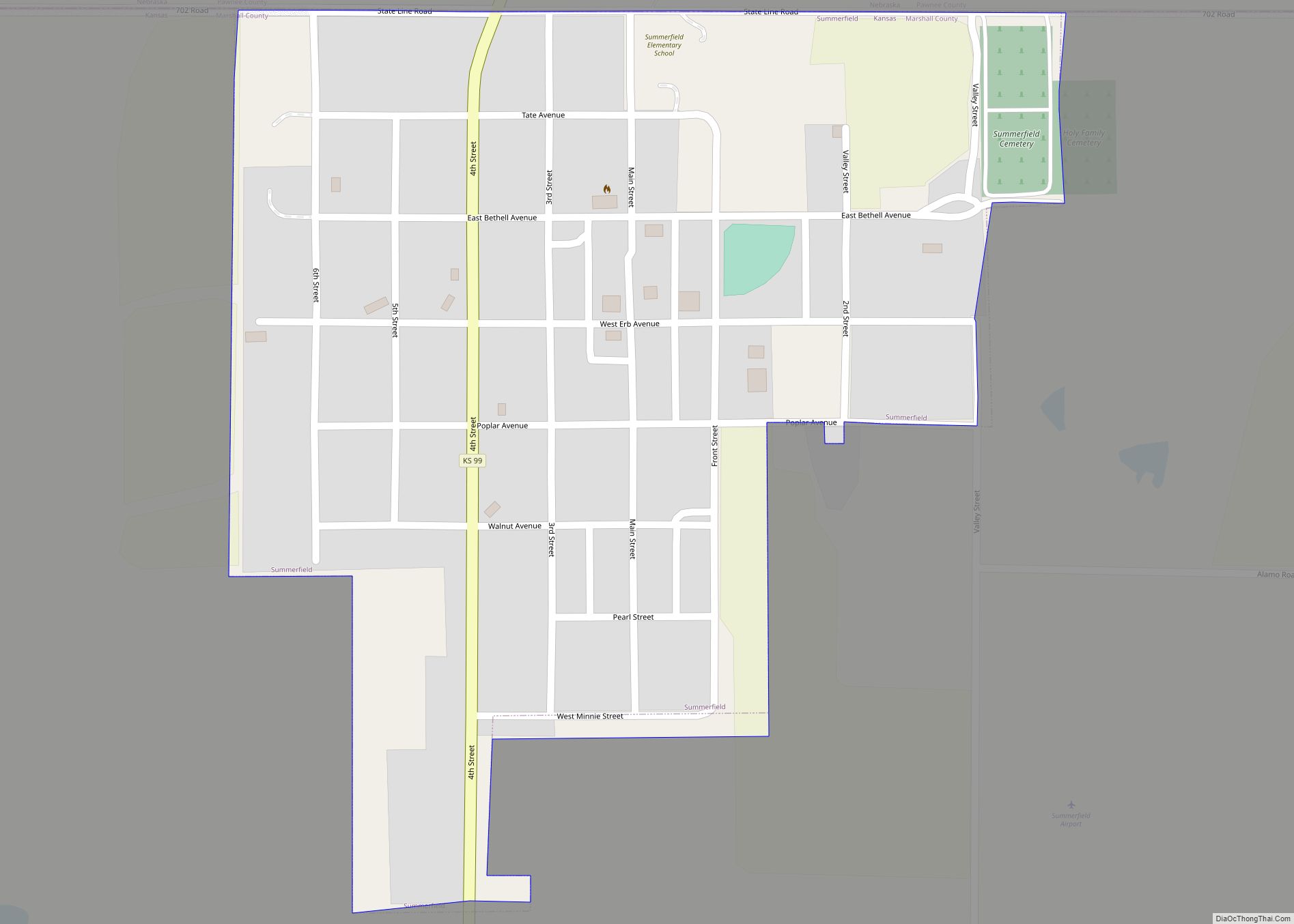
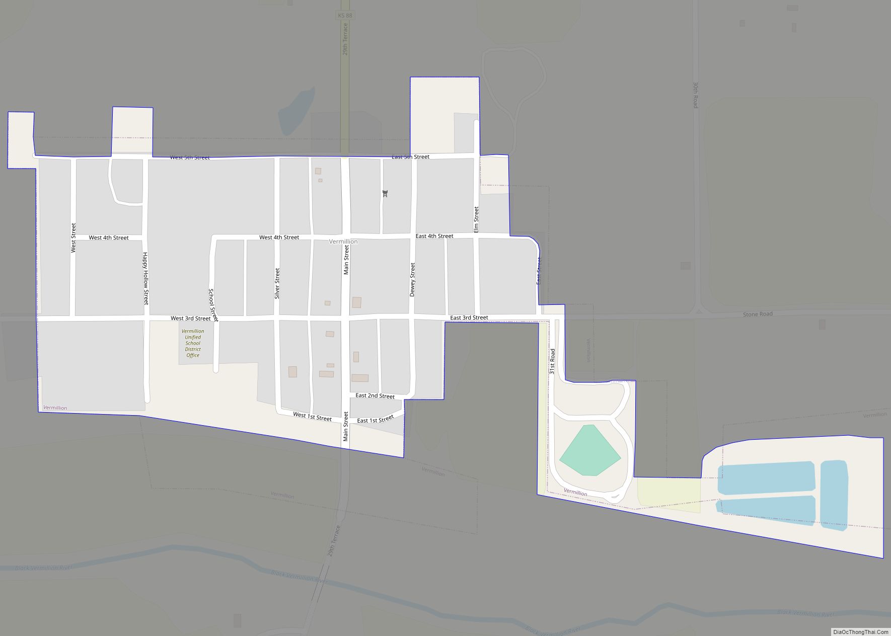
Online Interactive Map
Click on ![]() to view map in "full screen" mode.
to view map in "full screen" mode.
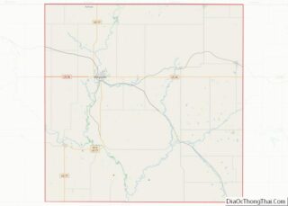
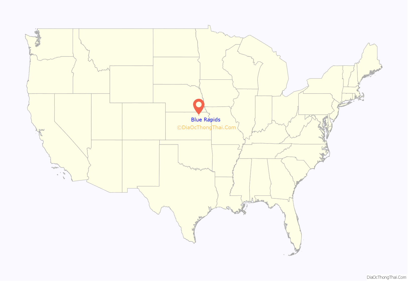
Blue Rapids location map. Where is Blue Rapids city?
History
The first endeavor to establish a town below the junction of the rivers, in 1857, failed due to misfortunes of two of the three participants. No further attempt to utilize the impressive water power was made until 1869–1870, when a colony of about 50 families from Genesee County, New York moved in, purchased land and water power rights, and began establishing a community. The Blue Rapids Town Company was formed, and by the end of 1870 the population was about 250. In 1872, Blue Rapids was incorporated as a city of third class under the statutes of Kansas.
Among the first projects in 1870 were a stone dam and a wrought iron bridge built on the Big Blue River. A hydroelectric power plant was then added to provide power for manufacturing and for the town. The power plant was destroyed by a flood in 1903. In the late 19th century and early 20th century there were four gypsum mines in the area. The population peaked around 1910 at over 1,750. The public library, built in 1875, is the oldest library west of the Mississippi in continuous operation in the same building.
Blue Rapids was the birthplace of the pancreatic cancer drug Streptozotocin. The bacterium from which the drug is derived was discovered in the late 1950s in a soil sample taken from “an uncultivated sandy soil in a grassland region” at Blue Rapids.
Blue Rapids claims to be the smallest town in the U.S. to have hosted a national league baseball game. On October 24, 1913, more than 3,000 fans watched the Chicago White Sox and New York Giants play a world tour exhibition game on the local ball field at Riverside Park that is still in use today. Blue Rapids was also home to minor league baseball. The 1910 Blue Rapids team played as members of the Class D level Eastern Kansas League.
In 2001, Blue Rapids became the site of a new NOAA Weather Radio transmitter, KZZ67, to provide weather and emergency information from the National Weather Service in Topeka, Kansas to residents of north-central and northeast Kansas.
In May 2012, “The Monument to the Ice Age” was dedicated in the town square. It features descriptions of Ice Age times, continental glaciers, and Sioux Quartzite glacial erratics -the oldest rocks in Kansas. The main reason for this Ice Age Monument is that Blue Rapids was founded in a place with abundant natural resources brought or created by the glaciers of the Ice Age over 10,000 years ago. The namesake rapids on the Blue River that were harnessed to power early industries, the sand and gravel deposits used for construction and roads, and the rich soils for agriculture are all here because of the Ice Age glaciers. The Monument honors this ancient geological heritage. Glacial erratic that was deposited in the glaciated region of Kansas during the Pleistocene era.
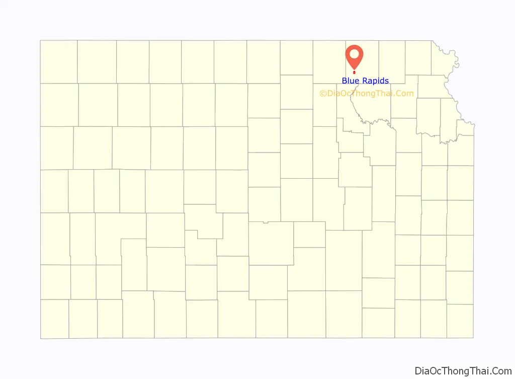
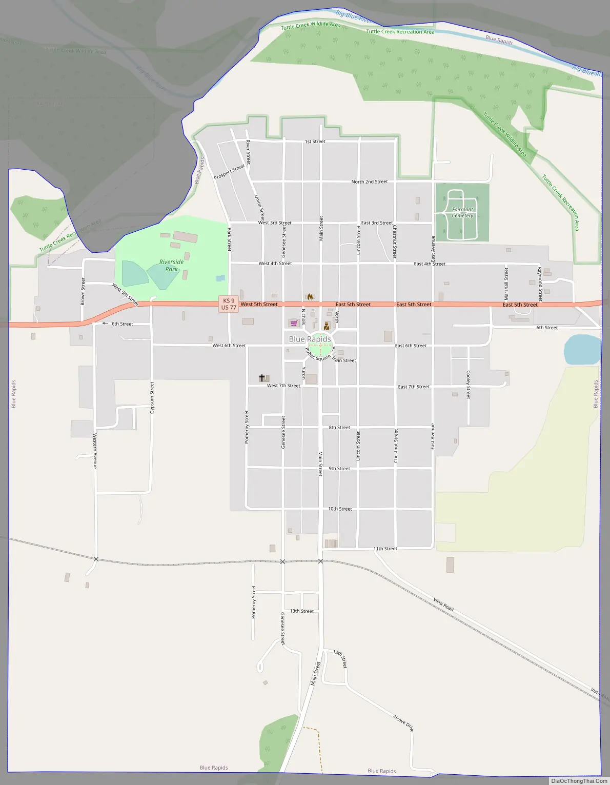
Blue Rapids Road Map
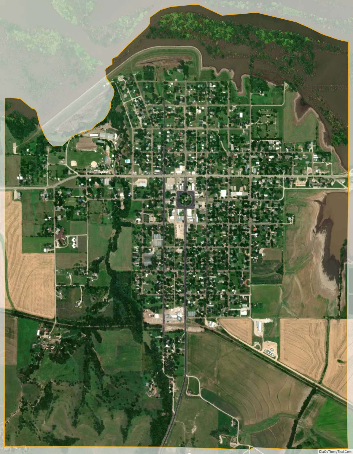
Blue Rapids city Satellite Map
Geography
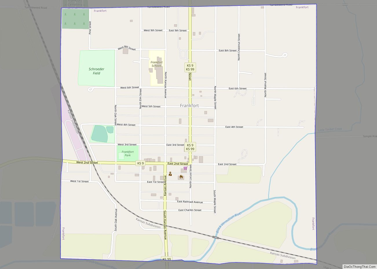
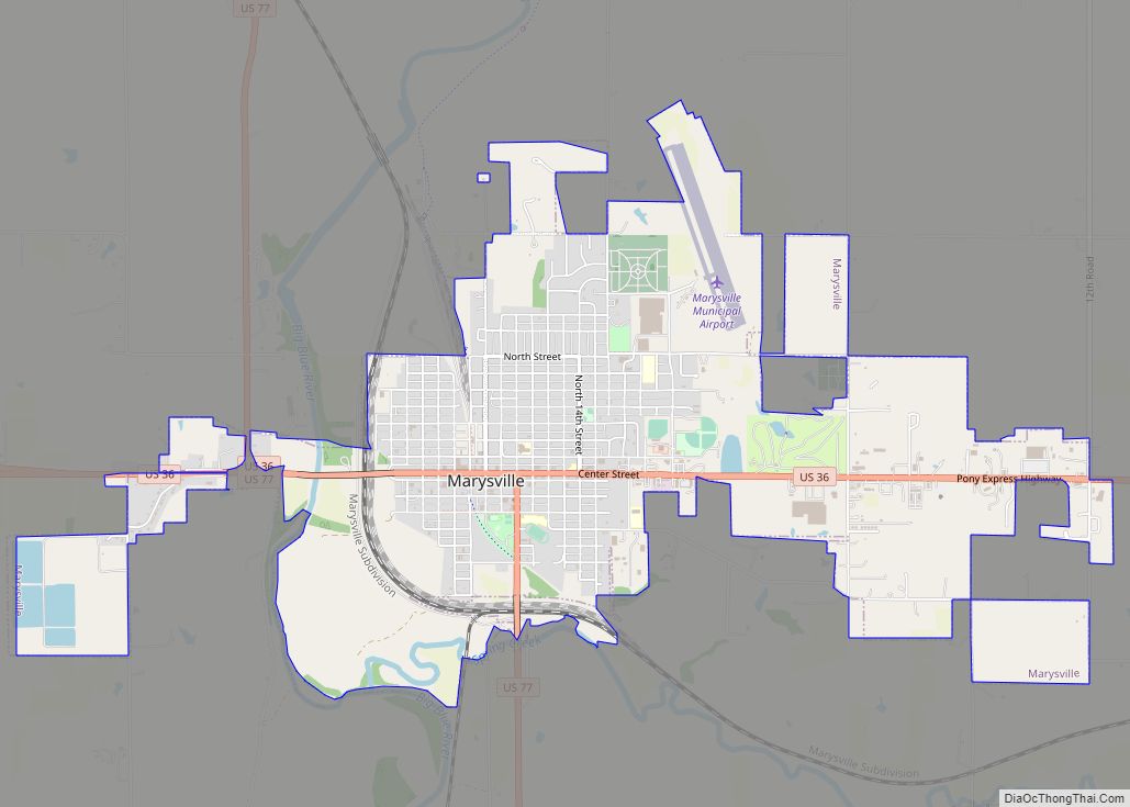
Blue Rapids is located in northeast Kansas near the junction of the Little Blue and Big Blue rivers, at 39°40′55″N 96°39′33″W / 39.68194°N 96.65917°W / 39.68194; -96.65917. Its elevation is 1,150 feet (350 m) above sea level. Located on highway US-77/K-9, Blue Rapids is 5 miles (8.0 km) east of its sister town Waterville, 12 miles (19 km) south of the county seat Marysville, 13 miles (21 km) west of Frankfort, and 46 miles (74 km) north of the large university town of Manhattan. According to the United States Census Bureau, the city has a total area of 2.01 square miles (5.21 km), of which, 1.99 square miles (5.15 km) is land and 0.02 square miles (0.05 km) is water.
Georgia-Pacific has a gypsum mine near Blue Rapids.
See also
Map of Kansas State and its subdivision:- Allen
- Anderson
- Atchison
- Barber
- Barton
- Bourbon
- Brown
- Butler
- Chase
- Chautauqua
- Cherokee
- Cheyenne
- Clark
- Clay
- Cloud
- Coffey
- Comanche
- Cowley
- Crawford
- Decatur
- Dickinson
- Doniphan
- Douglas
- Edwards
- Elk
- Ellis
- Ellsworth
- Finney
- Ford
- Franklin
- Geary
- Gove
- Graham
- Grant
- Gray
- Greeley
- Greenwood
- Hamilton
- Harper
- Harvey
- Haskell
- Hodgeman
- Jackson
- Jefferson
- Jewell
- Johnson
- Kearny
- Kingman
- Kiowa
- Labette
- Lane
- Leavenworth
- Lincoln
- Linn
- Logan
- Lyon
- Marion
- Marshall
- McPherson
- Meade
- Miami
- Mitchell
- Montgomery
- Morris
- Morton
- Nemaha
- Neosho
- Ness
- Norton
- Osage
- Osborne
- Ottawa
- Pawnee
- Phillips
- Pottawatomie
- Pratt
- Rawlins
- Reno
- Republic
- Rice
- Riley
- Rooks
- Rush
- Russell
- Saline
- Scott
- Sedgwick
- Seward
- Shawnee
- Sheridan
- Sherman
- Smith
- Stafford
- Stanton
- Stevens
- Sumner
- Thomas
- Trego
- Wabaunsee
- Wallace
- Washington
- Wichita
- Wilson
- Woodson
- Wyandotte
- Alabama
- Alaska
- Arizona
- Arkansas
- California
- Colorado
- Connecticut
- Delaware
- District of Columbia
- Florida
- Georgia
- Hawaii
- Idaho
- Illinois
- Indiana
- Iowa
- Kansas
- Kentucky
- Louisiana
- Maine
- Maryland
- Massachusetts
- Michigan
- Minnesota
- Mississippi
- Missouri
- Montana
- Nebraska
- Nevada
- New Hampshire
- New Jersey
- New Mexico
- New York
- North Carolina
- North Dakota
- Ohio
- Oklahoma
- Oregon
- Pennsylvania
- Rhode Island
- South Carolina
- South Dakota
- Tennessee
- Texas
- Utah
- Vermont
- Virginia
- Washington
- West Virginia
- Wisconsin
- Wyoming