Cambridge is a city in Cowley County, Kansas, United States. As of the 2020 census, the population of the city was 92.
| Name: | Cambridge city |
|---|---|
| LSAD Code: | 25 |
| LSAD Description: | city (suffix) |
| State: | Kansas |
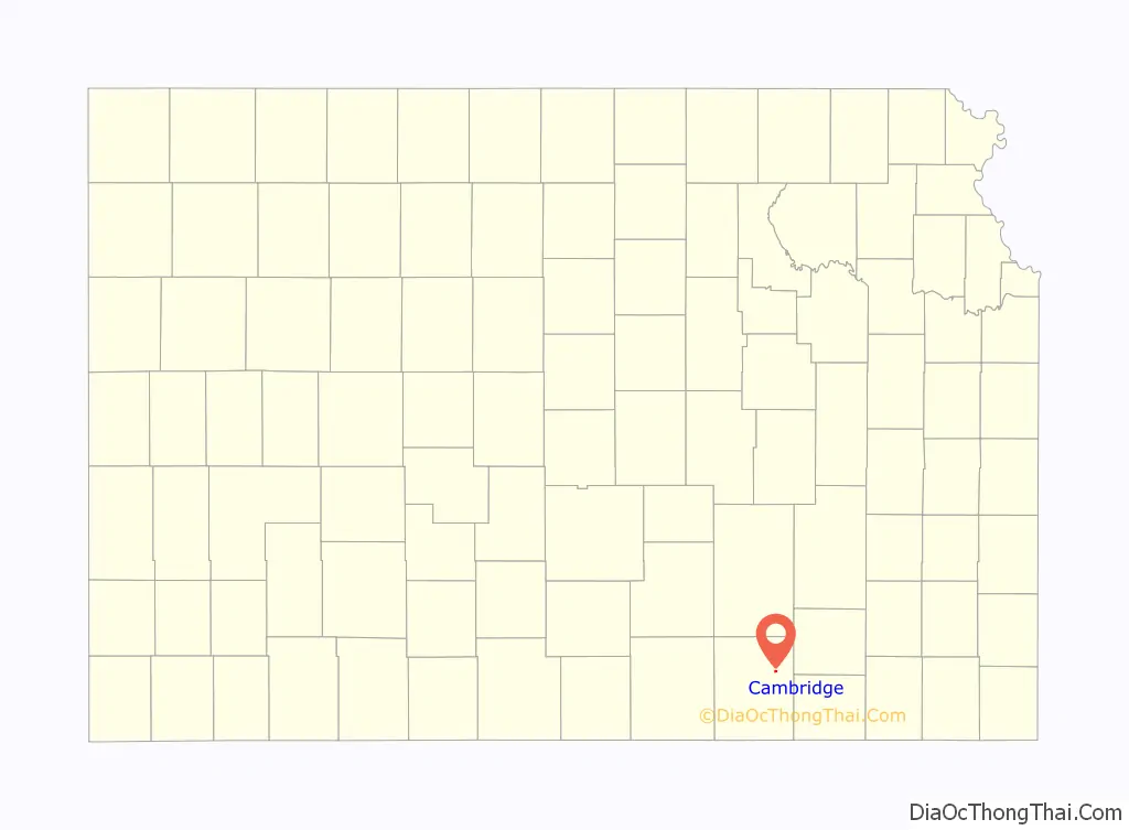
| County: | Cowley County |
| Founded: | 1880 |
| Incorporated: | 1916 |
| Elevation: | 1,250 ft (380 m) |
| Total Area: | 0.17 sq mi (0.45 km²) |
| Land Area: | 0.17 sq mi (0.45 km²) |
| Water Area: | 0.00 sq mi (0.00 km²) |
| Total Population: | 92 |
| Population Density: | 540/sq mi (200/km²) |
| ZIP code: | 67023 |
| Area code: | 620 |
| FIPS code: | 2010125 |
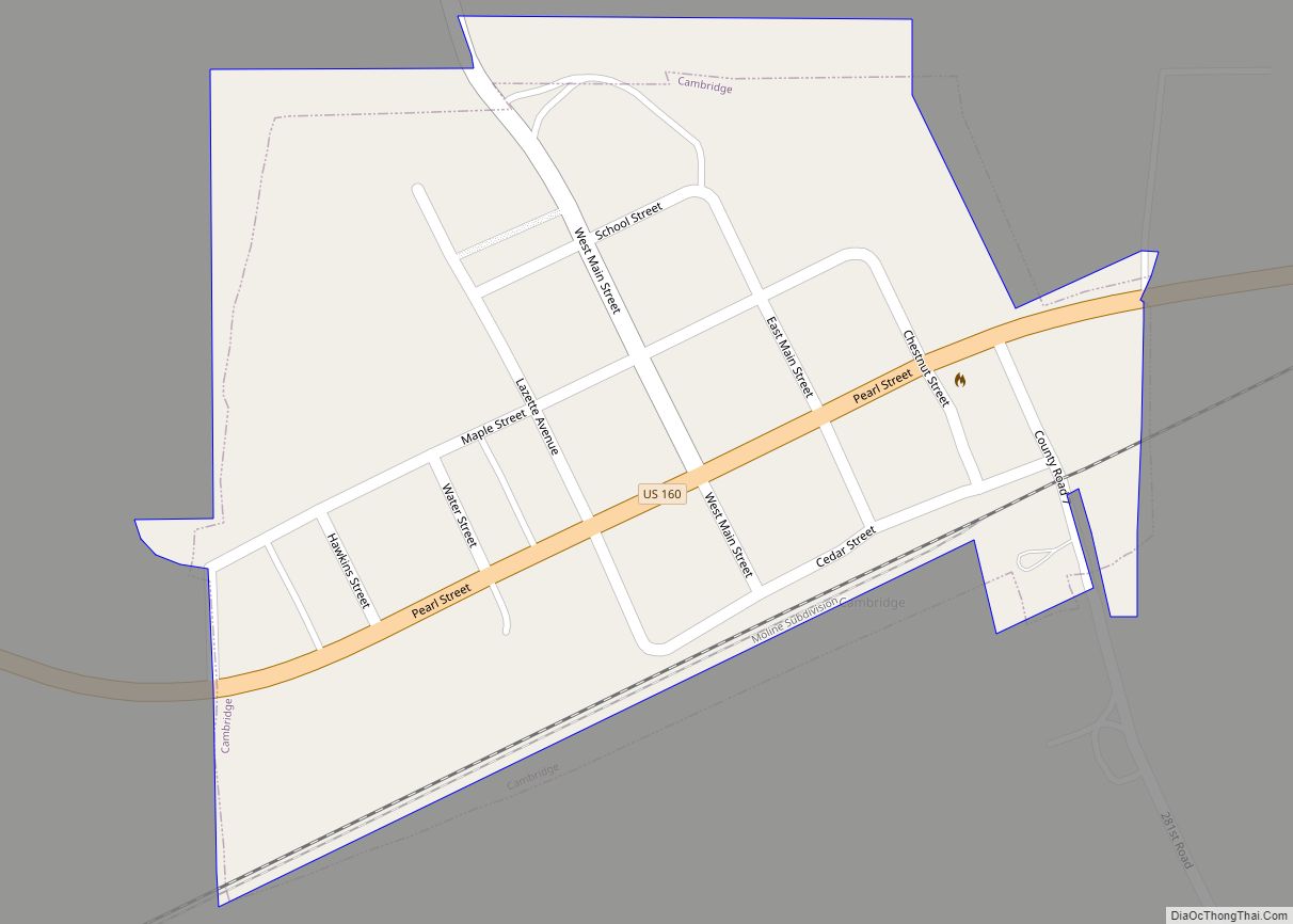
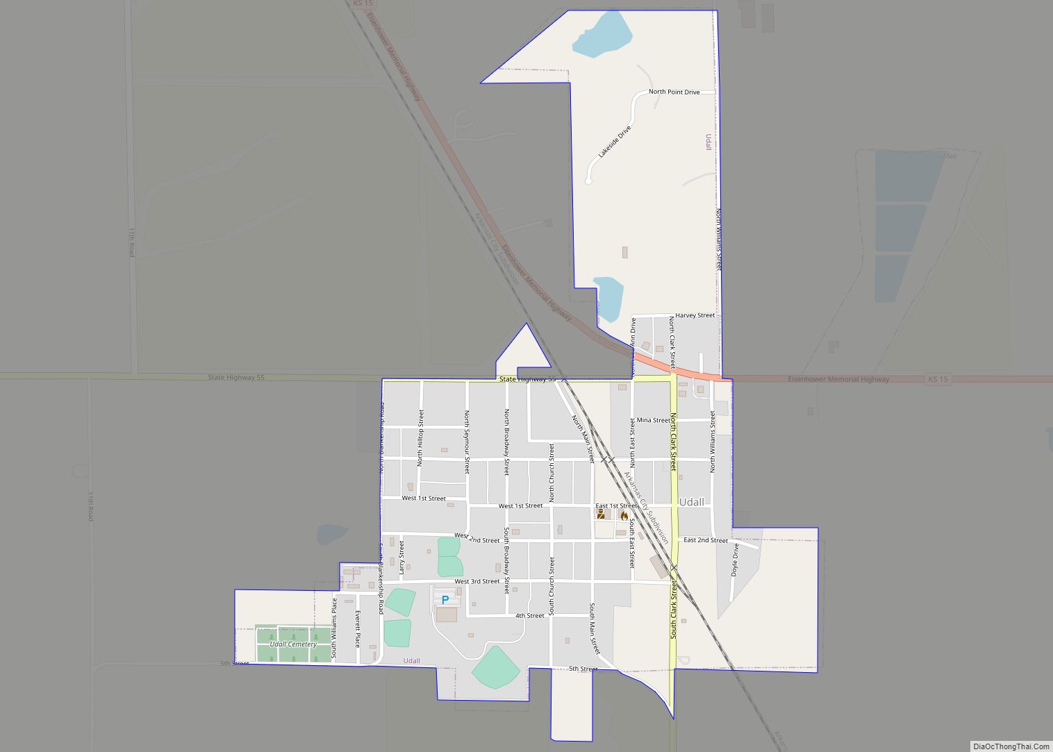
Online Interactive Map
Click on ![]() to view map in "full screen" mode.
to view map in "full screen" mode.
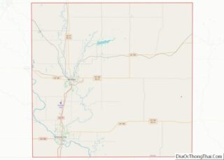
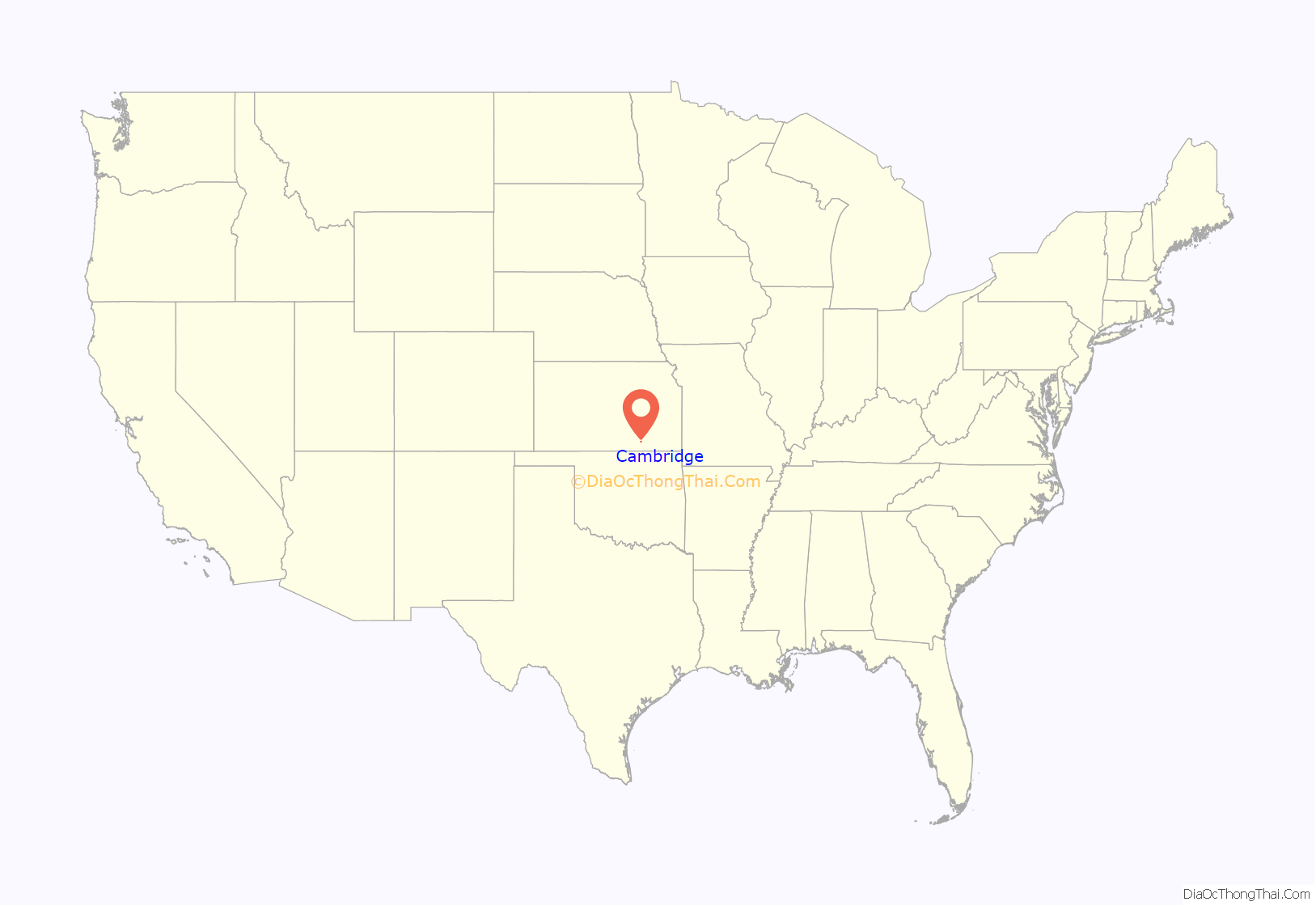
Cambridge location map. Where is Cambridge city?
History
Like many communities in Kansas, Cambridge owes its existence to a railroad. When the Kansas City, Lawrence & Southern Railroad was built a mile south of Lazette, a new site was organized by Benjamin H. Clover and plotted on May 3, 1880 and it was named Cambridge after Cambridge University, in England. The first post office in Cambridge was established on January 30, 1880.
On December 15, 1880 the Atchison Topeka & Santa Fe Railway acquired nearly all the stock of the Kansas City, Lawrence & Southern Railroad and operated the railroad awhile as the Southern Kansas Railroad. Cambridge was a station and shipping point on the Atchison, Topeka and Santa Fe Railway.
Cambridge Public Emergency Radio Tower is one of two former emergency transmission facilities built during the Cold War.
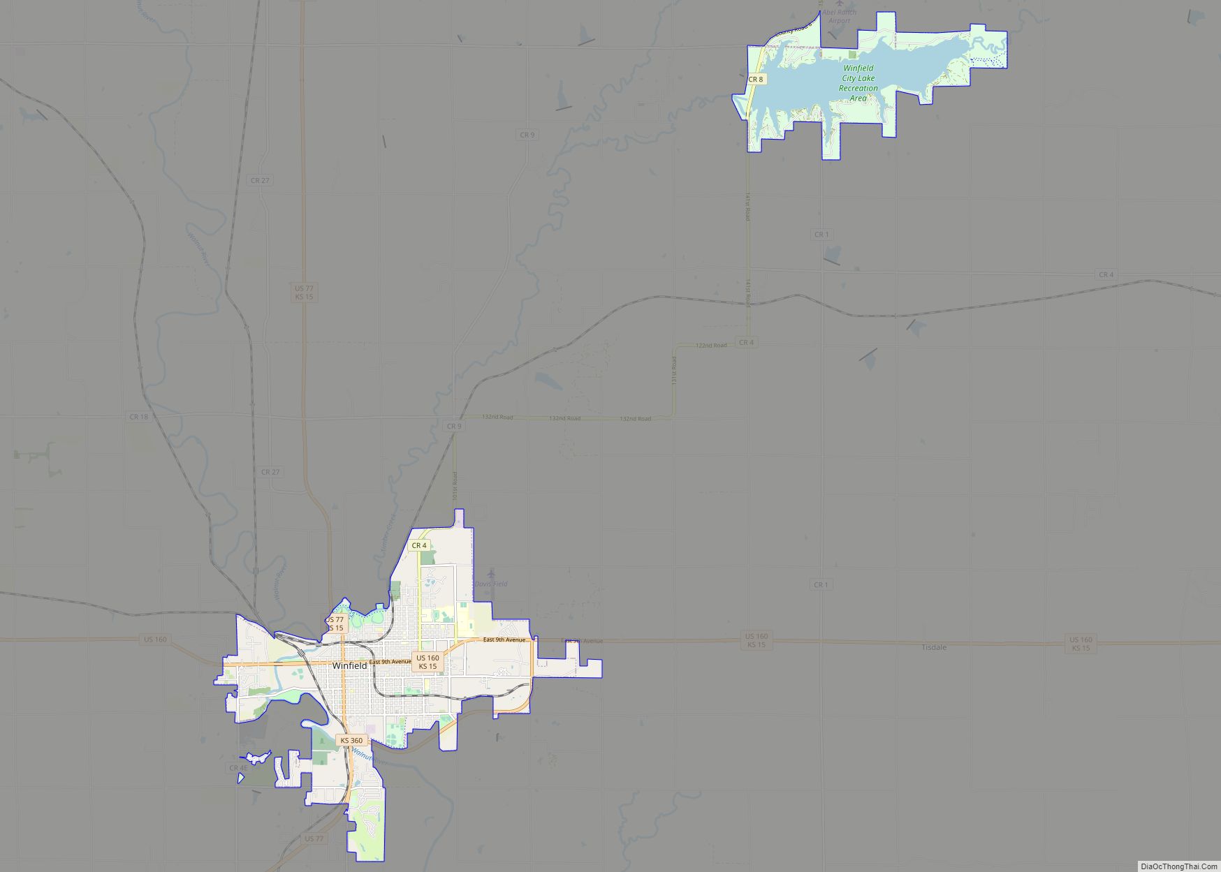
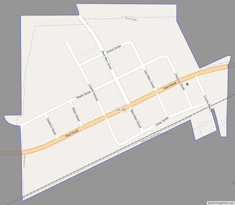
Cambridge Road Map
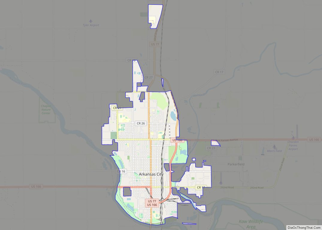
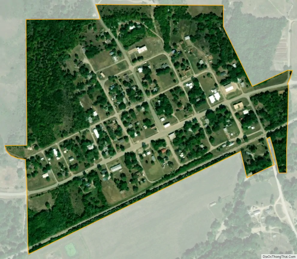
Cambridge city Satellite Map
Geography
Cambridge is located at 37°19′2″N 96°40′2″W / 37.31722°N 96.66722°W / 37.31722; -96.66722 (37.317323, -96.667085). According to the United States Census Bureau, the city has a total area of 0.17 square miles (0.44 km), all of it land. Cambridge is located on US Route 160 at State Highway 7. The community is 45 miles southeast of Wichita.
Climate
The climate in this area is characterized by hot, humid summers and generally mild to cool winters. According to the Köppen Climate Classification system, Cambridge has a humid subtropical climate, abbreviated “Cfa” on climate maps.
See also
Map of Kansas State and its subdivision:- Allen
- Anderson
- Atchison
- Barber
- Barton
- Bourbon
- Brown
- Butler
- Chase
- Chautauqua
- Cherokee
- Cheyenne
- Clark
- Clay
- Cloud
- Coffey
- Comanche
- Cowley
- Crawford
- Decatur
- Dickinson
- Doniphan
- Douglas
- Edwards
- Elk
- Ellis
- Ellsworth
- Finney
- Ford
- Franklin
- Geary
- Gove
- Graham
- Grant
- Gray
- Greeley
- Greenwood
- Hamilton
- Harper
- Harvey
- Haskell
- Hodgeman
- Jackson
- Jefferson
- Jewell
- Johnson
- Kearny
- Kingman
- Kiowa
- Labette
- Lane
- Leavenworth
- Lincoln
- Linn
- Logan
- Lyon
- Marion
- Marshall
- McPherson
- Meade
- Miami
- Mitchell
- Montgomery
- Morris
- Morton
- Nemaha
- Neosho
- Ness
- Norton
- Osage
- Osborne
- Ottawa
- Pawnee
- Phillips
- Pottawatomie
- Pratt
- Rawlins
- Reno
- Republic
- Rice
- Riley
- Rooks
- Rush
- Russell
- Saline
- Scott
- Sedgwick
- Seward
- Shawnee
- Sheridan
- Sherman
- Smith
- Stafford
- Stanton
- Stevens
- Sumner
- Thomas
- Trego
- Wabaunsee
- Wallace
- Washington
- Wichita
- Wilson
- Woodson
- Wyandotte
- Alabama
- Alaska
- Arizona
- Arkansas
- California
- Colorado
- Connecticut
- Delaware
- District of Columbia
- Florida
- Georgia
- Hawaii
- Idaho
- Illinois
- Indiana
- Iowa
- Kansas
- Kentucky
- Louisiana
- Maine
- Maryland
- Massachusetts
- Michigan
- Minnesota
- Mississippi
- Missouri
- Montana
- Nebraska
- Nevada
- New Hampshire
- New Jersey
- New Mexico
- New York
- North Carolina
- North Dakota
- Ohio
- Oklahoma
- Oregon
- Pennsylvania
- Rhode Island
- South Carolina
- South Dakota
- Tennessee
- Texas
- Utah
- Vermont
- Virginia
- Washington
- West Virginia
- Wisconsin
- Wyoming