Claflin is a city in Barton County, Kansas, United States. As of the 2020 census, the population of the city was 562.
| Name: | Claflin city |
|---|---|
| LSAD Code: | 25 |
| LSAD Description: | city (suffix) |
| State: | Kansas |
| County: | Barton County |
| Founded: | 1887 |
| Incorporated: | 1901 |
| Elevation: | 1,811 ft (552 m) |
| Total Area: | 0.33 sq mi (0.84 km²) |
| Land Area: | 0.33 sq mi (0.84 km²) |
| Water Area: | 0.00 sq mi (0.00 km²) |
| Total Population: | 562 |
| Population Density: | 1,700/sq mi (670/km²) |
| ZIP code: | 67525 |
| Area code: | 620 |
| FIPS code: | 2013425 |
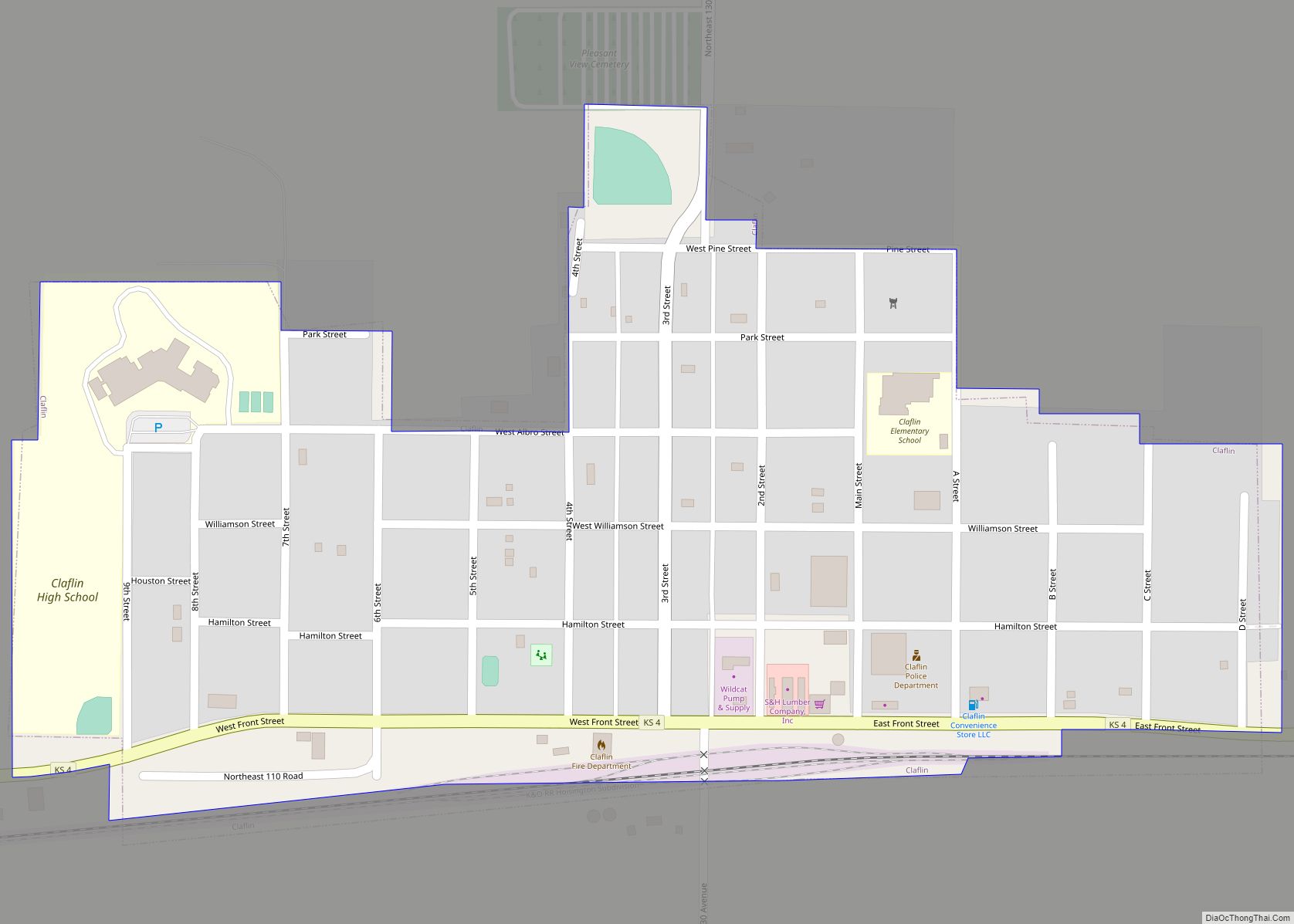
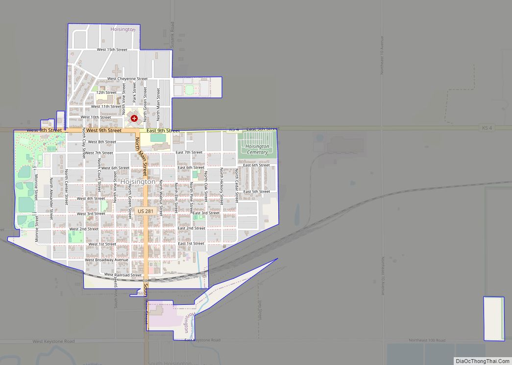
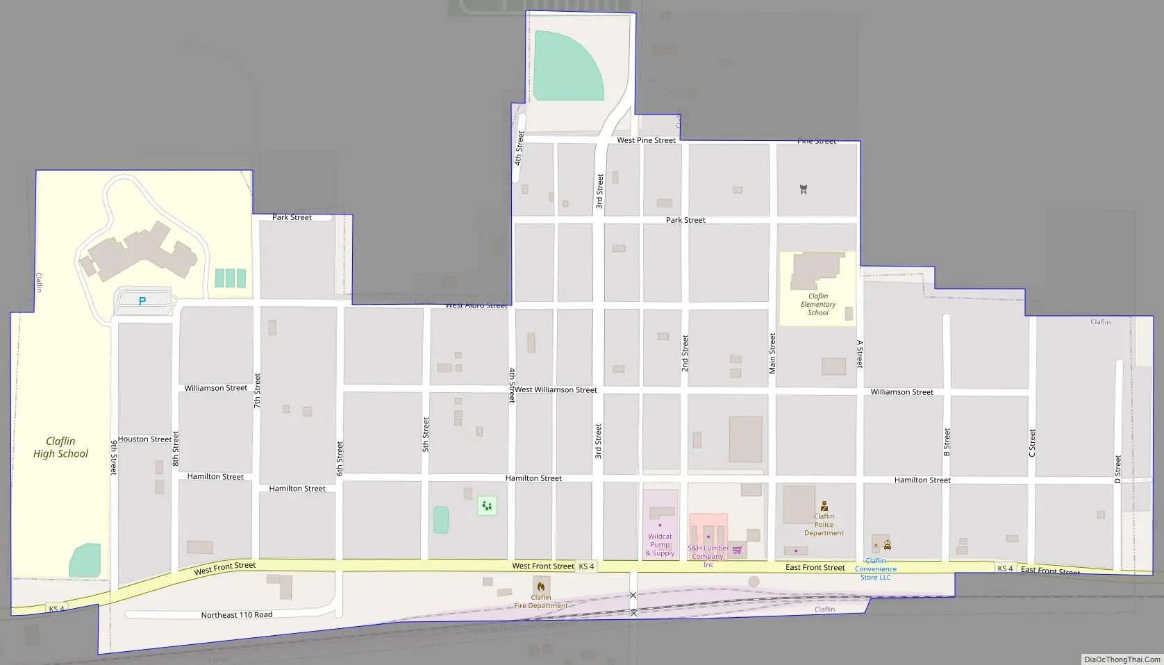
Online Interactive Map
Click on ![]() to view map in "full screen" mode.
to view map in "full screen" mode.
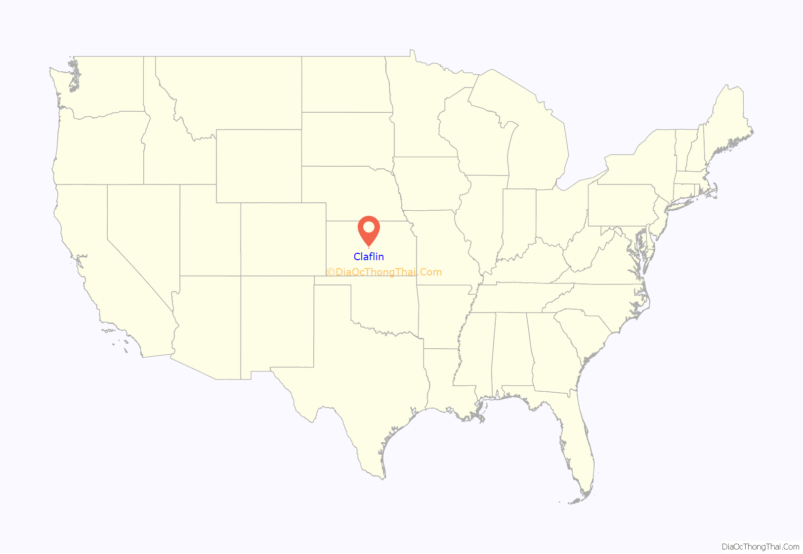
Claflin location map. Where is Claflin city?
History
Prior to American expansion and occupation, the region was controlled by Cheyenne, Pawnee, and Kiowa tribes. The Santa Fe Trail contributed to American settlement in Barton County, as it did throughout Kansas and much of the southern Great Plains.
The first settlement claim recorded in the area of Claflin was made by George Platt in 1870. This claim was divided and re-entered, eventually being sold to J. H. Williamson in 1875, and becoming the town of Claflin.
The community was officially organized in response to Missouri Pacific Railroad plans for a branch line to come through the area. Tracks were laid by 1887.
The station, on the south side of the tracks, was originally named Giles City after landowner Stelle Giles. Farmer and landowner William Albro Giles, son of Stella Giles, did not sell the 40 acres desired by the town company for building a town on the south side of the tracks. The land for the town was purchased on the north side of the tracks from J. H. Williamson. Judge Oliver Perry Hamilton surveyed the land and named the town Claflin, after his wife, Adelia Maria Claflin. The Claflin Town Company, with Stelle Giles as President, filed the townsite with the Barton County Register of Deeds on March 31, 1887.
The first official resident of Claflin was Robert Leslie Hamilton, who built and operated the S. S. Chatten Lumber Company. Other early residents include: Mel Cummings, railroad agent; George Norris; J. H. Cannon, store owner, banker, undertaker; M. C. Elmore, hardware store owner; Cas Dermitt, cafe owner; A. A. German, elevator operator; Charles Bucker, blacksmith; Charles Vert, publisher of the Claflin Clarion.
The city was incorporated by order of the Barton County Commissioners on July 18, 1901, and the first election was held on August 2, 1901.
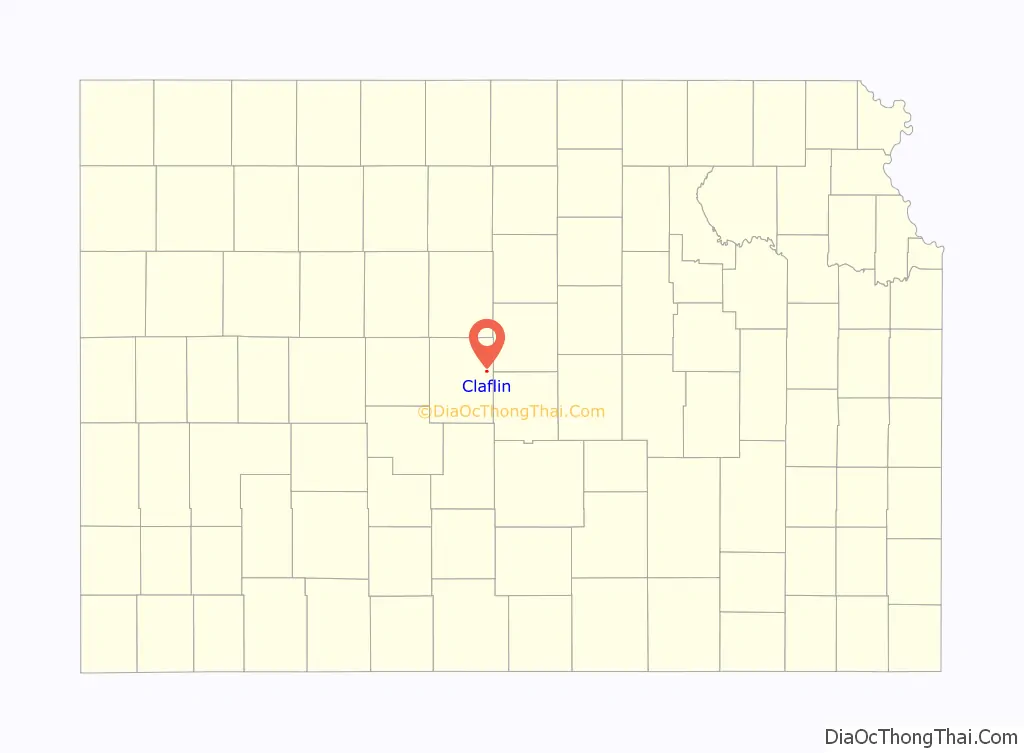
Claflin Road Map
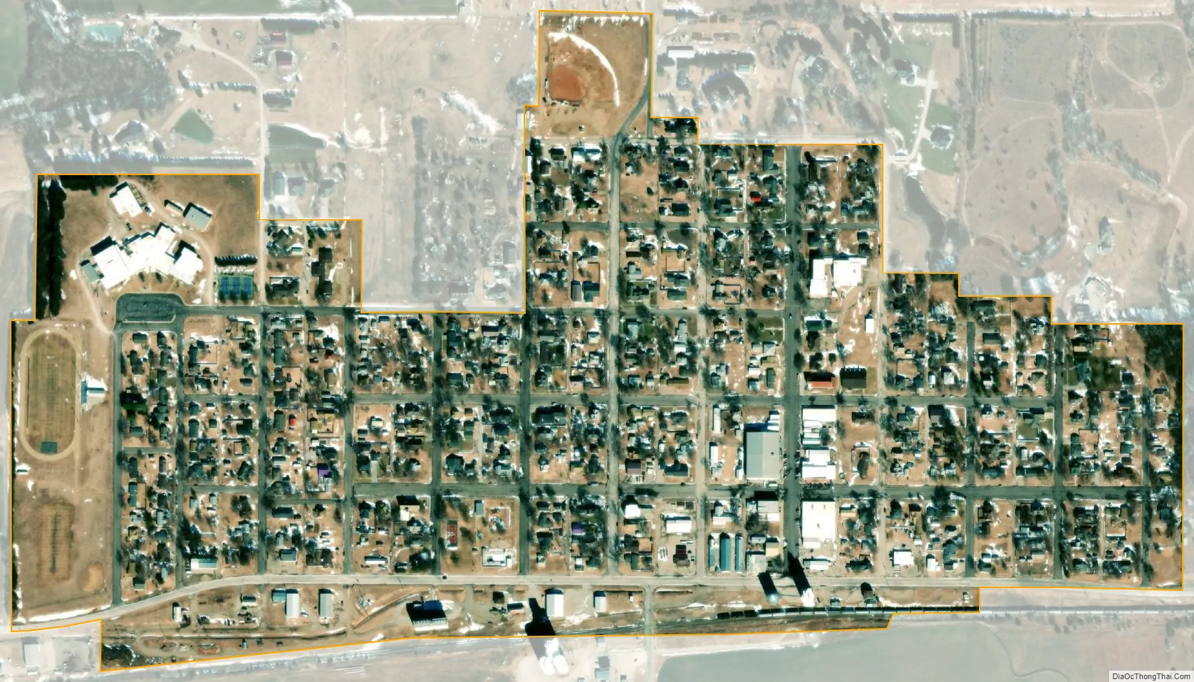
Claflin city Satellite Map
Geography
According to the United States Census Bureau, the city has a total area of 0.33 square miles (0.85 km), all of it land.
See also
Map of Kansas State and its subdivision:- Allen
- Anderson
- Atchison
- Barber
- Barton
- Bourbon
- Brown
- Butler
- Chase
- Chautauqua
- Cherokee
- Cheyenne
- Clark
- Clay
- Cloud
- Coffey
- Comanche
- Cowley
- Crawford
- Decatur
- Dickinson
- Doniphan
- Douglas
- Edwards
- Elk
- Ellis
- Ellsworth
- Finney
- Ford
- Franklin
- Geary
- Gove
- Graham
- Grant
- Gray
- Greeley
- Greenwood
- Hamilton
- Harper
- Harvey
- Haskell
- Hodgeman
- Jackson
- Jefferson
- Jewell
- Johnson
- Kearny
- Kingman
- Kiowa
- Labette
- Lane
- Leavenworth
- Lincoln
- Linn
- Logan
- Lyon
- Marion
- Marshall
- McPherson
- Meade
- Miami
- Mitchell
- Montgomery
- Morris
- Morton
- Nemaha
- Neosho
- Ness
- Norton
- Osage
- Osborne
- Ottawa
- Pawnee
- Phillips
- Pottawatomie
- Pratt
- Rawlins
- Reno
- Republic
- Rice
- Riley
- Rooks
- Rush
- Russell
- Saline
- Scott
- Sedgwick
- Seward
- Shawnee
- Sheridan
- Sherman
- Smith
- Stafford
- Stanton
- Stevens
- Sumner
- Thomas
- Trego
- Wabaunsee
- Wallace
- Washington
- Wichita
- Wilson
- Woodson
- Wyandotte
- Alabama
- Alaska
- Arizona
- Arkansas
- California
- Colorado
- Connecticut
- Delaware
- District of Columbia
- Florida
- Georgia
- Hawaii
- Idaho
- Illinois
- Indiana
- Iowa
- Kansas
- Kentucky
- Louisiana
- Maine
- Maryland
- Massachusetts
- Michigan
- Minnesota
- Mississippi
- Missouri
- Montana
- Nebraska
- Nevada
- New Hampshire
- New Jersey
- New Mexico
- New York
- North Carolina
- North Dakota
- Ohio
- Oklahoma
- Oregon
- Pennsylvania
- Rhode Island
- South Carolina
- South Dakota
- Tennessee
- Texas
- Utah
- Vermont
- Virginia
- Washington
- West Virginia
- Wisconsin
- Wyoming