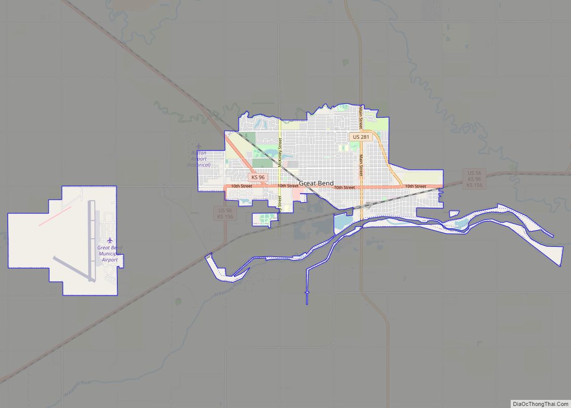
Great Bend is a city in and the county seat of Barton County, Kansas, United States. It is named for its location at the point where the course of the Arkansas River bends east then southeast. As of the 2020 census, the population of the city was 14,733. It is home to Barton Community College.
| Name: | Great Bend city |
|---|---|
| LSAD Code: | 25 |
| LSAD Description: | city (suffix) |
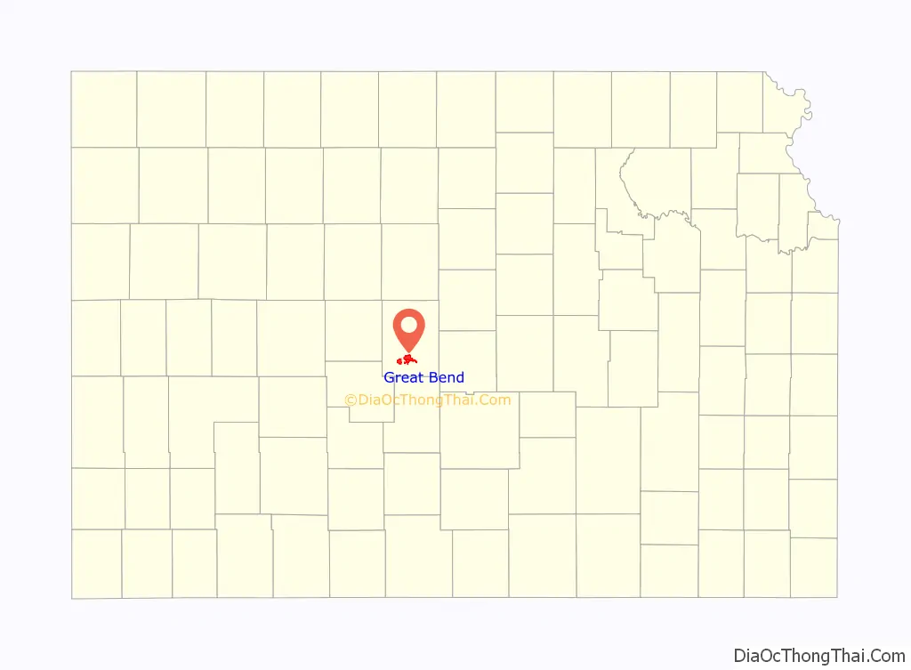
| State: | Kansas |
| County: | Barton County |
| Founded: | 1871 |
| Incorporated: | 1872 |
| Elevation: | 1,850 ft (560 m) |
| Total Area: | 10.63 sq mi (27.54 km²) |
| Land Area: | 10.50 sq mi (27.19 km²) |
| Water Area: | 0.13 sq mi (0.35 km²) |
| Total Population: | 14,733 |
| Population Density: | 1,400/sq mi (530/km²) |
| ZIP code: | 67530 |
| Area code: | 620 |
| FIPS code: | 2028300 |
| Website: | greatbendks.net |
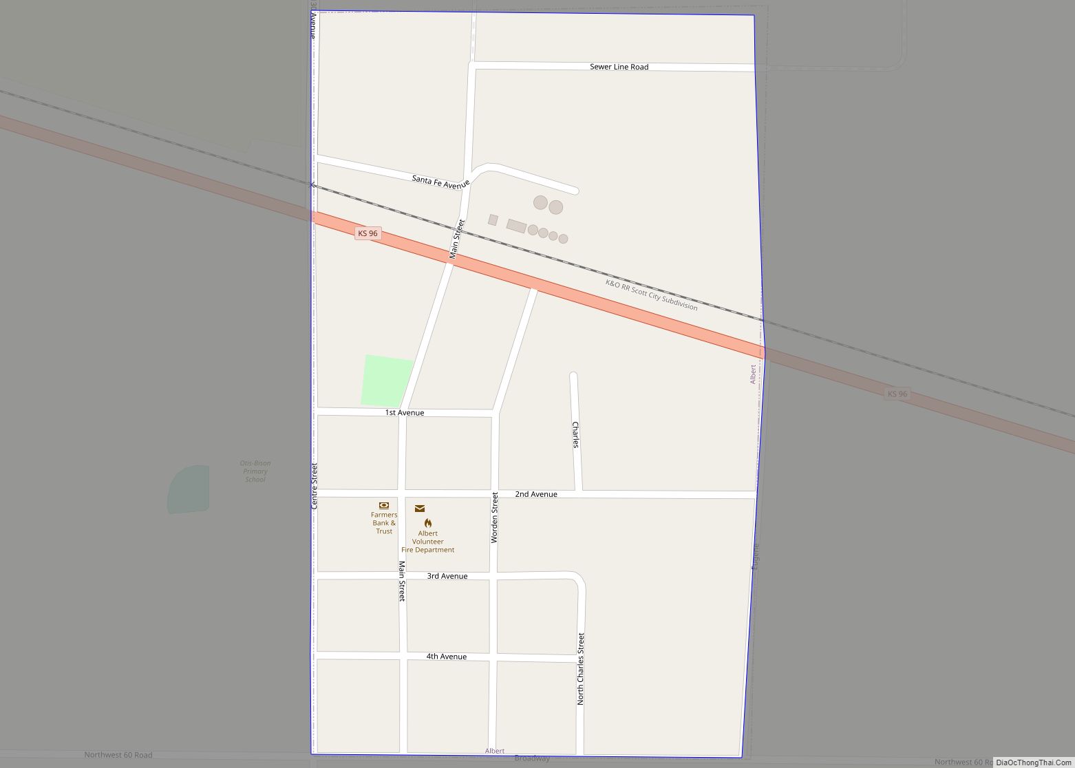
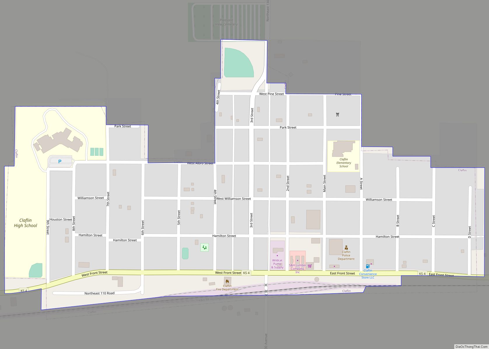
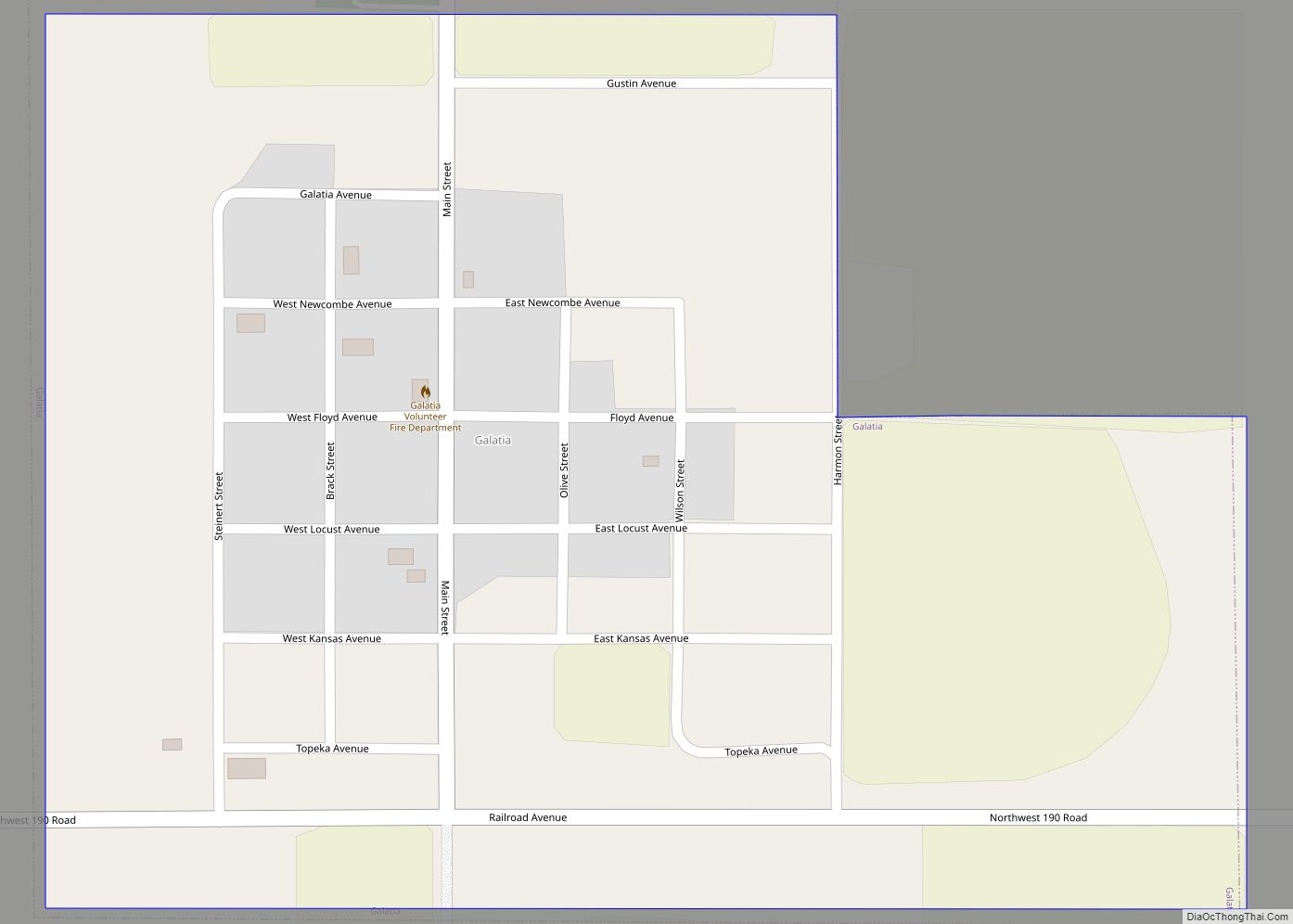
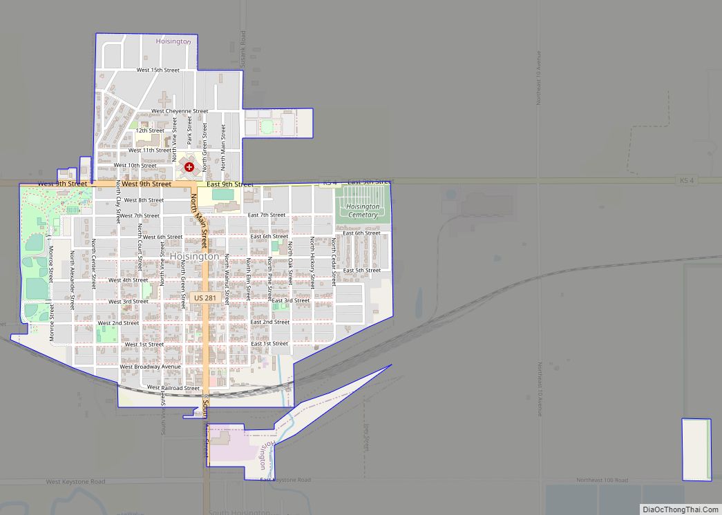
Online Interactive Map
Click on ![]() to view map in "full screen" mode.
to view map in "full screen" mode.
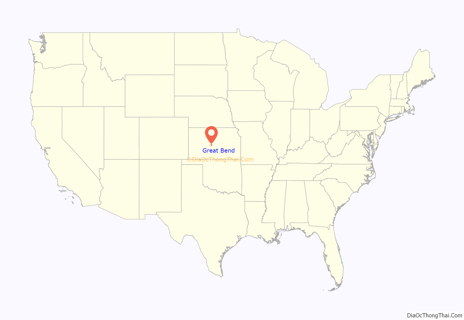
Great Bend location map. Where is Great Bend city?
History
Prior to American settlement of the area, the site of Great Bend was located in the northern reaches of Kiowa territory. Claimed first by France as part of Louisiana and later acquired by the United States with the Louisiana Purchase in 1803, it lay within the area organized by the U.S. as Kansas Territory in 1854. Kansas became a state in 1861, and the state government delineated the surrounding area as Barton County in 1867.
The first settlers of the area arrived in 1870. Living in sod houses and dugouts, they worked as buffalo hunters since trampling by bison herds precluded crop farming. In 1871, the Great Bend Town Company, anticipating the westward construction of the Atchison, Topeka and Santa Fe Railroad, founded Great Bend at a site roughly three miles west of Fort Zarah on the Santa Fe Trail. They named the settlement after its location at the “great bend” in the Arkansas River where the river’s course turns eastward. The town began to grow as more settlers arrived over the following year and opened several businesses.
The railroad reached Great Bend in July 1872, and an election at about the same time declared the town the permanent county seat. Great Bend was incorporated as a city soon thereafter. The county courthouse and the city’s first public school were built the following year.
In 1873, following the arrival of the railroad, Great Bend became a shipping point for cattle. This stimulated local business but also transformed the city into a rowdy, violent cowtown. In 1876, the Kansas Legislature extended the legal “dead line” restricting the presence of Texas cattle 30 miles west of Barton County. The cattle trade moved westward accordingly, and the city became more peaceful.
Over the following decades, Great Bend continued to grow and modernize, becoming a center of area commerce. This was despite two disasters which struck the city: a downtown fire in 1878 and a smallpox outbreak in 1882 which resulted in a brief quarantine. In 1886, local speculators began to fund exploration for petroleum in the area. By 1930, the oil and gas industry brought more than $20 million annually to the county. More than 3,000 wells produced during the 1930s, and the influx of workers dramatically increased the city’s population.
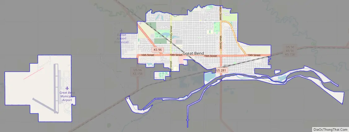
The U.S. Army Air Forces opened Great Bend Army Airfield west of the city in 1943. The base served as training facility for B-29 bomber aircraft personnel during World War II. After the war, the City of Great Bend acquired the base and repurposed it for civilian use as Great Bend Municipal Airport.
The city continued to grow through the 1950s, its population peaking at almost 17,000 in 1960. In 1973, the Fuller Brush Company relocated its production facilities to Great Bend, becoming one of the city’s major employers. Despite a modest decline in population in recent decades, Great Bend continues to serve as a commercial center for central Kansas.
Great Bend Road Map
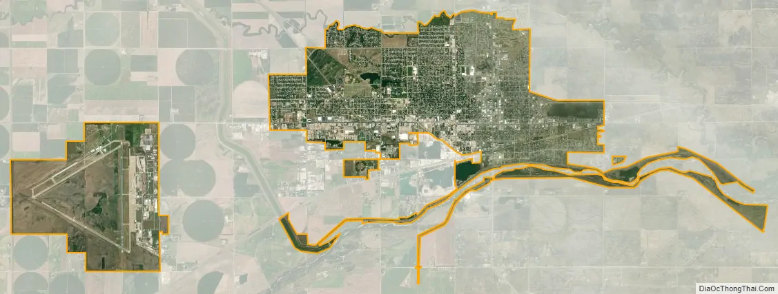
Great Bend city Satellite Map
Geography
Great Bend is located at 38°21′52″N 98°45′53″W / 38.36444°N 98.76472°W / 38.36444; -98.76472 (38.3644567, -98.7648073) at an elevation of 1,850 feet (564 m). It is located at the intersection of U.S. Route 281 and U.S. Route 56 highways in Kansas. Driving by highway, it is approximately 116 miles (187 km) northwest of Wichita and 60 miles (97 km) southwest of Hays.
Lying in the Great Bend Sand Prairie region of the Great Plains, the city is situated on the north side of the Arkansas River where the river’s course shifts from northeast to southeast. Dry Walnut Creek, a tributary of nearby Walnut Creek, flows east along the northern edge of the city. Cheyenne Bottoms, a large inland wetland, is located approximately 6 miles (9.7 km) to the northeast.
According to the United States Census Bureau, the city has a total area of 10.71 square miles (27.74 km), of which 10.60 square miles (27.45 km) is land and 0.11 square miles (0.28 km) is water.
Climate
Located near the convergence of North America’s humid continental (Köppen: Dfa), humid subtropical (Köppen: Cfa), and semi-arid (Köppen: BSk) climate zones, Great Bend experiences hot summers and cold, dry winters. On average, January is the coldest month, July the hottest and May is the wettest. The hottest temperature recorded in Great Bend was 111 °F (44 °C) in 1980; the coldest temperature recorded was -21 °F (-29 °C) in 1989.
The average temperature is 57 °F (14 °C). Over the course of a year, temperatures range from an average low of 21 °F (−6 °C) in January to an average high of 94 °F (34 °C) in July. The high temperature reaches or exceeds 90 °F (32 °C) an average of 70 days a year and reaches or exceeds 100 °F (38 °C) an average of 13 days a year. The minimum temperature falls below the freezing point 32 °F (0 °C) an average of 112 days a year. The first fall freeze typically takes place by the third week of October, and the last spring freeze by the second week of April.
Great Bend receives 27 inches (690 mm) of precipitation during an average year, and there are, on average, 71 days of measurable precipitation each year. The average relative humidity is 67%. Annual snowfall averages 17 inches (43 cm). Measurable snowfall occurs an average of seven days a year with at least an inch of snow being received on six of those days. Snow depth of at least an inch occurs an average of 23 days a year.
See also
Map of Kansas State and its subdivision:- Allen
- Anderson
- Atchison
- Barber
- Barton
- Bourbon
- Brown
- Butler
- Chase
- Chautauqua
- Cherokee
- Cheyenne
- Clark
- Clay
- Cloud
- Coffey
- Comanche
- Cowley
- Crawford
- Decatur
- Dickinson
- Doniphan
- Douglas
- Edwards
- Elk
- Ellis
- Ellsworth
- Finney
- Ford
- Franklin
- Geary
- Gove
- Graham
- Grant
- Gray
- Greeley
- Greenwood
- Hamilton
- Harper
- Harvey
- Haskell
- Hodgeman
- Jackson
- Jefferson
- Jewell
- Johnson
- Kearny
- Kingman
- Kiowa
- Labette
- Lane
- Leavenworth
- Lincoln
- Linn
- Logan
- Lyon
- Marion
- Marshall
- McPherson
- Meade
- Miami
- Mitchell
- Montgomery
- Morris
- Morton
- Nemaha
- Neosho
- Ness
- Norton
- Osage
- Osborne
- Ottawa
- Pawnee
- Phillips
- Pottawatomie
- Pratt
- Rawlins
- Reno
- Republic
- Rice
- Riley
- Rooks
- Rush
- Russell
- Saline
- Scott
- Sedgwick
- Seward
- Shawnee
- Sheridan
- Sherman
- Smith
- Stafford
- Stanton
- Stevens
- Sumner
- Thomas
- Trego
- Wabaunsee
- Wallace
- Washington
- Wichita
- Wilson
- Woodson
- Wyandotte
- Alabama
- Alaska
- Arizona
- Arkansas
- California
- Colorado
- Connecticut
- Delaware
- District of Columbia
- Florida
- Georgia
- Hawaii
- Idaho
- Illinois
- Indiana
- Iowa
- Kansas
- Kentucky
- Louisiana
- Maine
- Maryland
- Massachusetts
- Michigan
- Minnesota
- Mississippi
- Missouri
- Montana
- Nebraska
- Nevada
- New Hampshire
- New Jersey
- New Mexico
- New York
- North Carolina
- North Dakota
- Ohio
- Oklahoma
- Oregon
- Pennsylvania
- Rhode Island
- South Carolina
- South Dakota
- Tennessee
- Texas
- Utah
- Vermont
- Virginia
- Washington
- West Virginia
- Wisconsin
- Wyoming