Damar is a city in Rooks County, Kansas, United States. As of the 2020 census, the population of the city was 112.
| Name: | Damar city |
|---|---|
| LSAD Code: | 25 |
| LSAD Description: | city (suffix) |
| State: | Kansas |
| County: | Rooks County |
| Founded: | 1888 |
| Incorporated: | 1935 |
| Elevation: | 2,106 ft (642 m) |
| Total Area: | 0.19 sq mi (0.49 km²) |
| Land Area: | 0.19 sq mi (0.49 km²) |
| Water Area: | 0.00 sq mi (0.00 km²) |
| Total Population: | 112 |
| Population Density: | 590/sq mi (230/km²) |
| ZIP code: | 67632 |
| Area code: | 785 |
| FIPS code: | 2016975 |
| Website: | damarkansas.com |
Online Interactive Map
Click on ![]() to view map in "full screen" mode.
to view map in "full screen" mode.
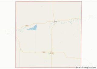
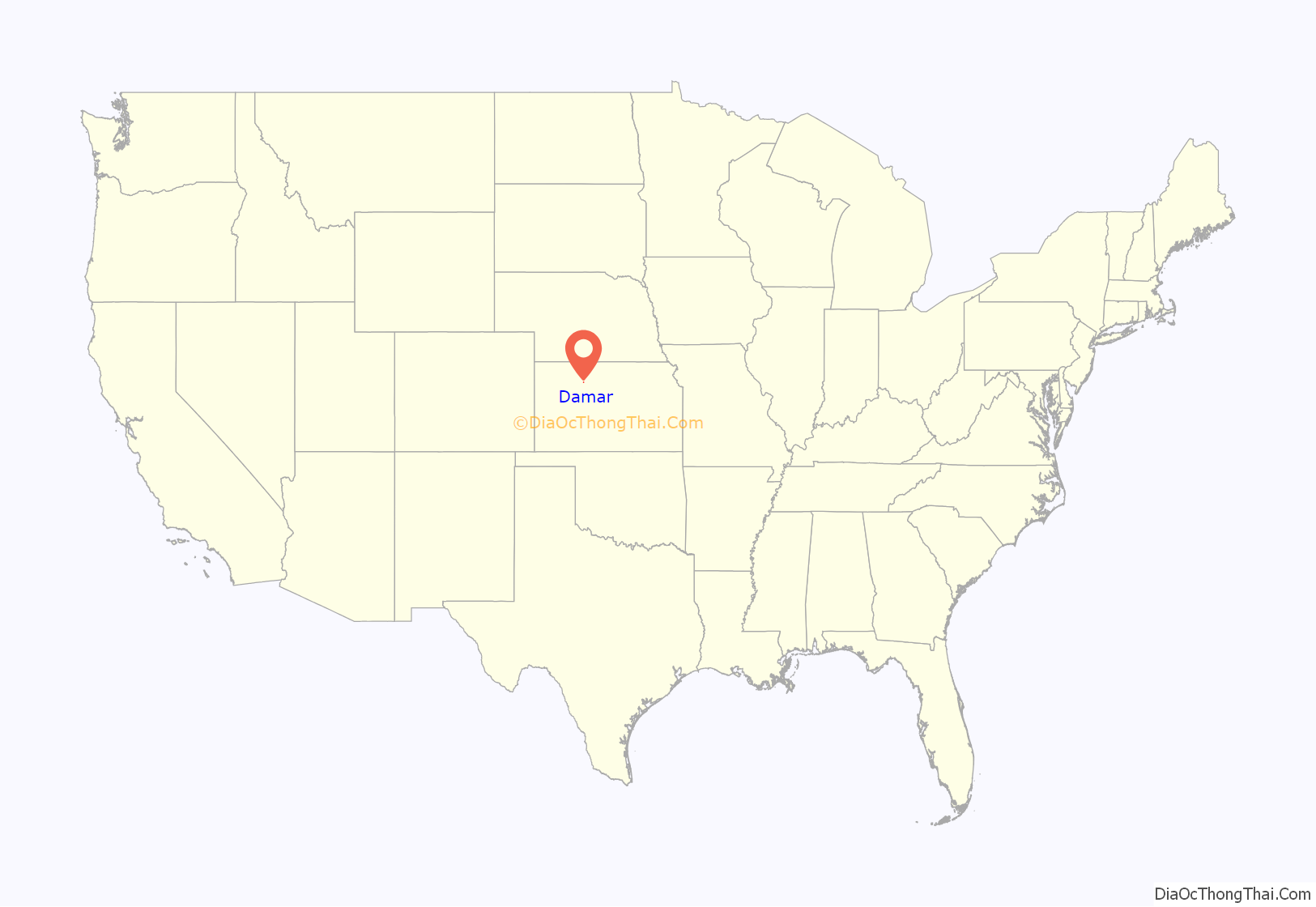
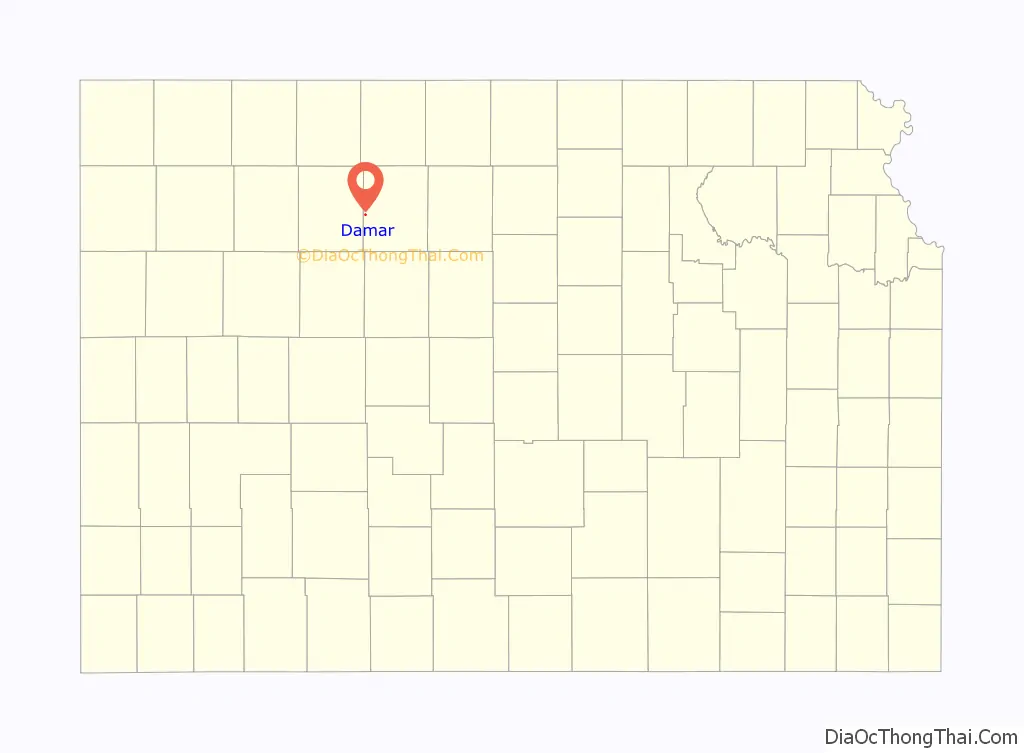
Damar location map. Where is Damar city?
History
Damar was established along the Union Pacific Railroad in 1888 by a community of French Canadians. The community had emigrated from Canada as early as 1871, settling on farms along the Rooks County–Graham County line in northwest Kansas. According to tradition, the community was named after D.M. Marr, the original owner of the town site.
The nearby Enfield Post Office was relocated to Damar in 1894.
St. Joseph Catholic Church was constructed in 1912. The church was listed in the National Register of Historic Places in 2005.
In 1920, Damar had three elevators, two implement dealerships, a hardware store, a lumber yard, a dry goods store, grocery stores, a barbershop, a bank, and an opera hall.
The Knights of Columbus built the township hall in 1922.
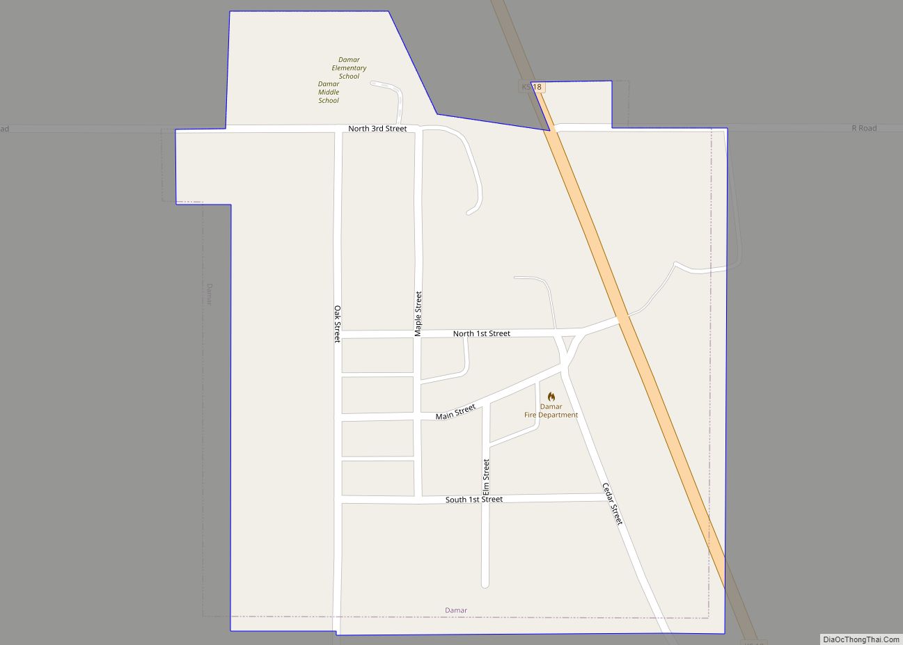
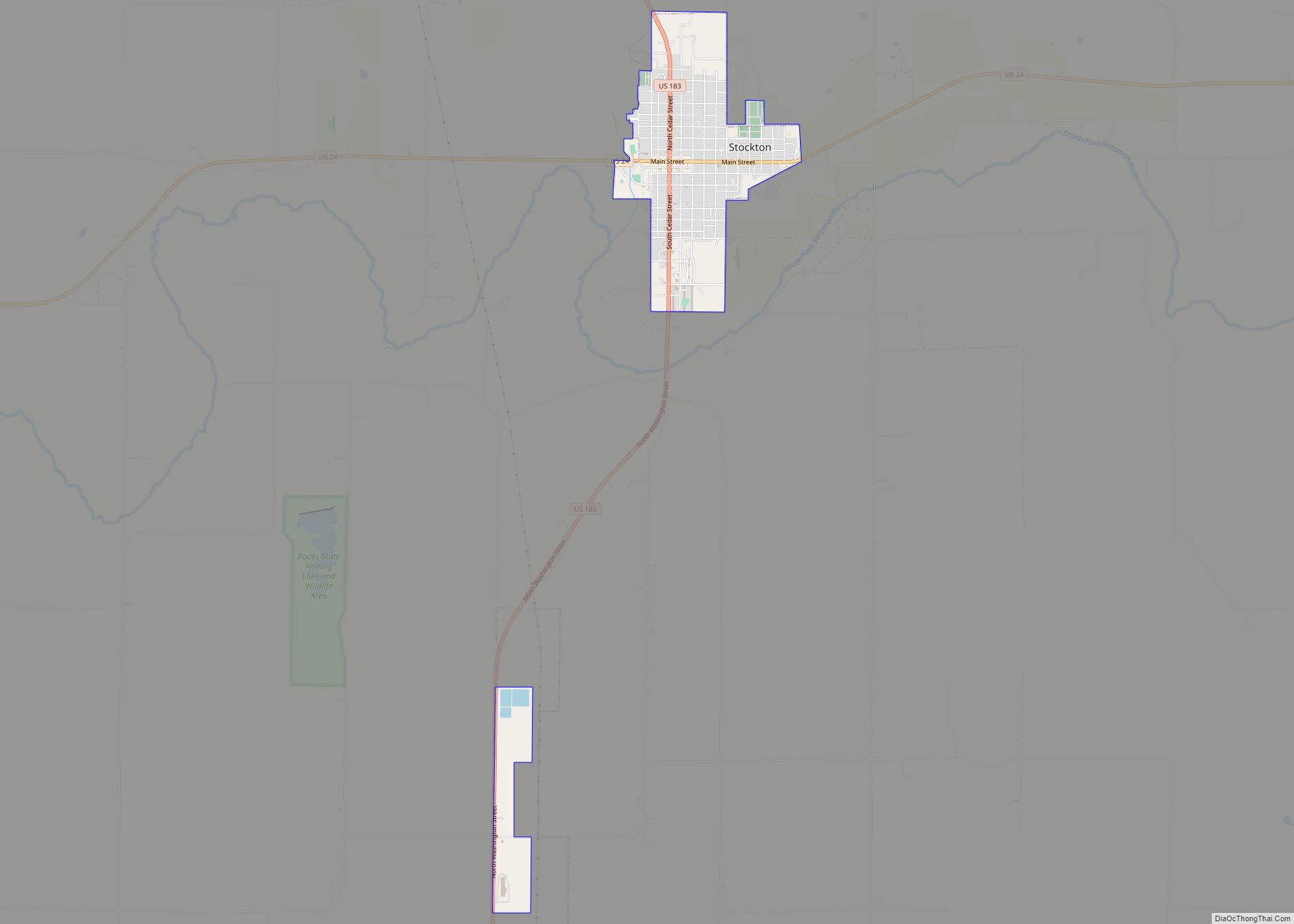
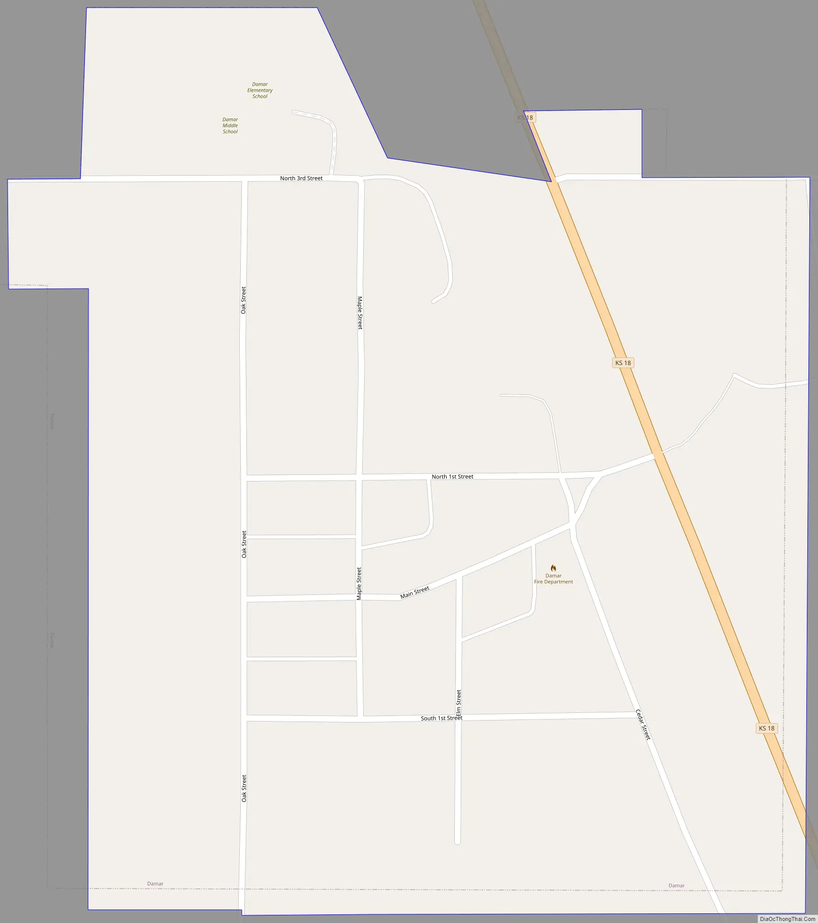
Damar Road Map
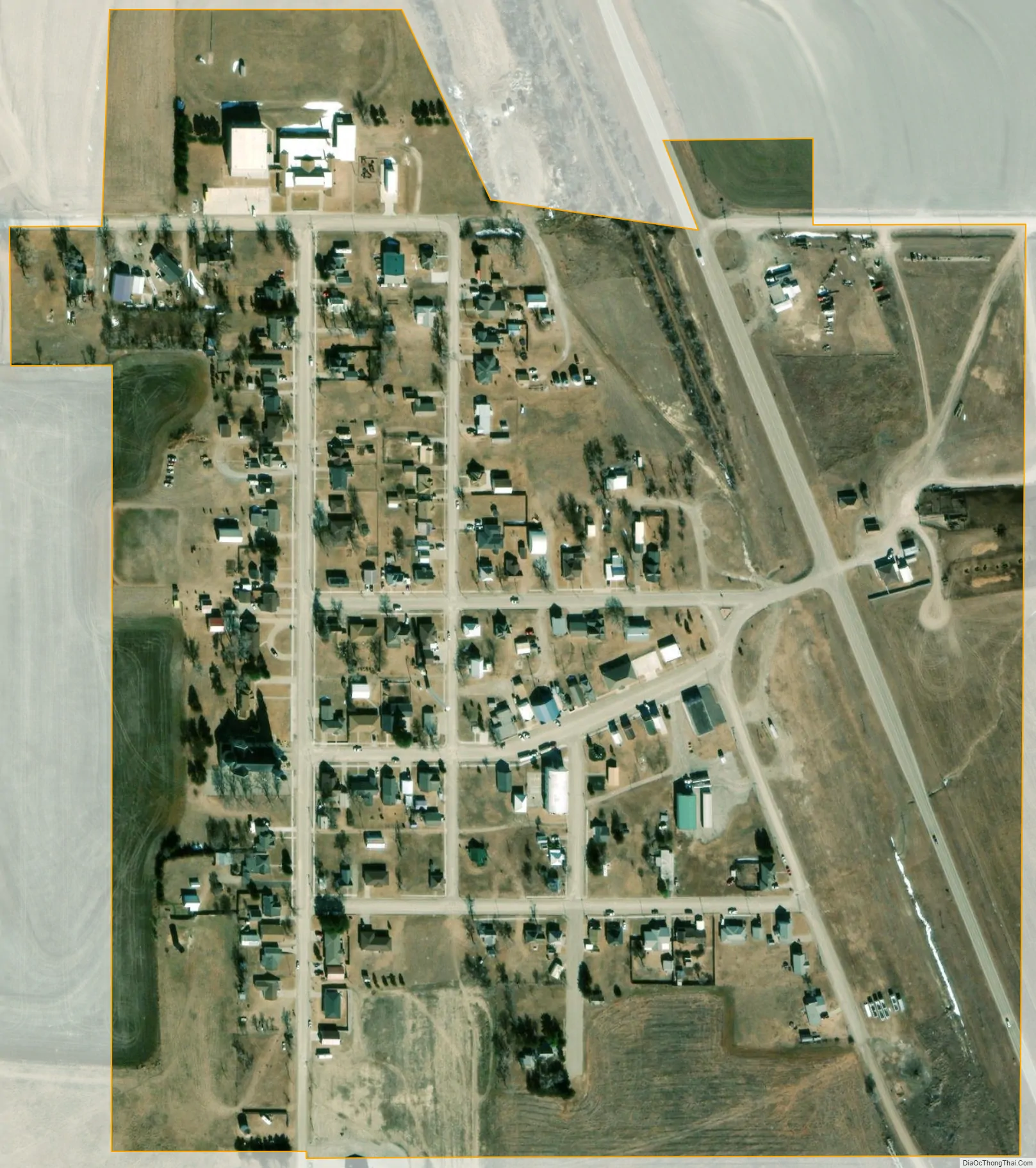
Damar city Satellite Map
Geography
Damar is located at 39°19′9″N 99°35′3″W / 39.31917°N 99.58417°W / 39.31917; -99.58417 (39.319144, -99.584156). According to the United States Census Bureau, the city has a total area of 0.19 square miles (0.49 km), all of it land.
Climate
The climate in this area is characterized by hot, humid summers and generally mild to cool winters. According to the Köppen Climate Classification system, Damar has a humid subtropical climate, abbreviated “Cfa” on climate maps.
See also
Map of Kansas State and its subdivision:- Allen
- Anderson
- Atchison
- Barber
- Barton
- Bourbon
- Brown
- Butler
- Chase
- Chautauqua
- Cherokee
- Cheyenne
- Clark
- Clay
- Cloud
- Coffey
- Comanche
- Cowley
- Crawford
- Decatur
- Dickinson
- Doniphan
- Douglas
- Edwards
- Elk
- Ellis
- Ellsworth
- Finney
- Ford
- Franklin
- Geary
- Gove
- Graham
- Grant
- Gray
- Greeley
- Greenwood
- Hamilton
- Harper
- Harvey
- Haskell
- Hodgeman
- Jackson
- Jefferson
- Jewell
- Johnson
- Kearny
- Kingman
- Kiowa
- Labette
- Lane
- Leavenworth
- Lincoln
- Linn
- Logan
- Lyon
- Marion
- Marshall
- McPherson
- Meade
- Miami
- Mitchell
- Montgomery
- Morris
- Morton
- Nemaha
- Neosho
- Ness
- Norton
- Osage
- Osborne
- Ottawa
- Pawnee
- Phillips
- Pottawatomie
- Pratt
- Rawlins
- Reno
- Republic
- Rice
- Riley
- Rooks
- Rush
- Russell
- Saline
- Scott
- Sedgwick
- Seward
- Shawnee
- Sheridan
- Sherman
- Smith
- Stafford
- Stanton
- Stevens
- Sumner
- Thomas
- Trego
- Wabaunsee
- Wallace
- Washington
- Wichita
- Wilson
- Woodson
- Wyandotte
- Alabama
- Alaska
- Arizona
- Arkansas
- California
- Colorado
- Connecticut
- Delaware
- District of Columbia
- Florida
- Georgia
- Hawaii
- Idaho
- Illinois
- Indiana
- Iowa
- Kansas
- Kentucky
- Louisiana
- Maine
- Maryland
- Massachusetts
- Michigan
- Minnesota
- Mississippi
- Missouri
- Montana
- Nebraska
- Nevada
- New Hampshire
- New Jersey
- New Mexico
- New York
- North Carolina
- North Dakota
- Ohio
- Oklahoma
- Oregon
- Pennsylvania
- Rhode Island
- South Carolina
- South Dakota
- Tennessee
- Texas
- Utah
- Vermont
- Virginia
- Washington
- West Virginia
- Wisconsin
- Wyoming