Hesston is a city in Harvey County, Kansas, United States. As of the 2020 census, the population of the city was 3,505. Large manufacturing facilities for AGCO (farm equipment) and Excel Industries (lawn mowers) are located in Hesston. It is home of Hesston College.
| Name: | Hesston city |
|---|---|
| LSAD Code: | 25 |
| LSAD Description: | city (suffix) |
| State: | Kansas |
| County: | Harvey County |
| Founded: | 1886 |
| Incorporated: | 1921 |
| Elevation: | 1,480 ft (450 m) |
| Total Area: | 3.56 sq mi (9.23 km²) |
| Land Area: | 3.56 sq mi (9.23 km²) |
| Water Area: | 0.00 sq mi (0.00 km²) |
| Total Population: | 3,505 |
| Population Density: | 980/sq mi (380/km²) |
| ZIP code: | 67062 |
| Area code: | 620 |
| FIPS code: | 2031600 |
| Website: | hesstonks.org |
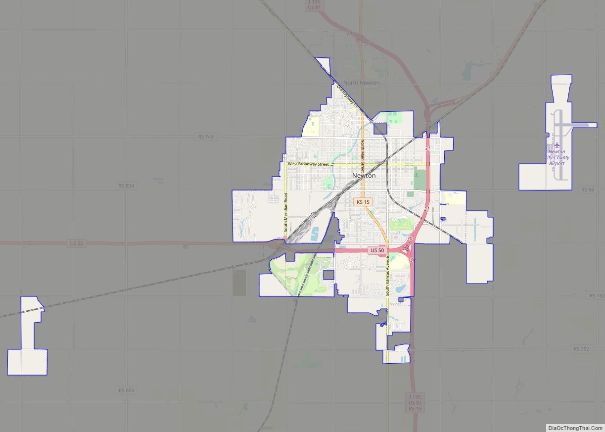
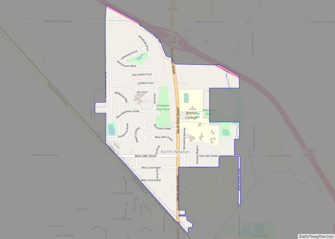
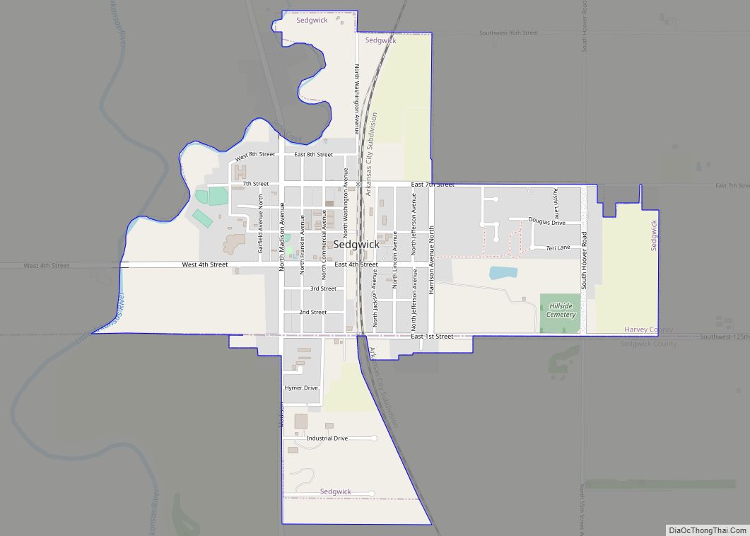
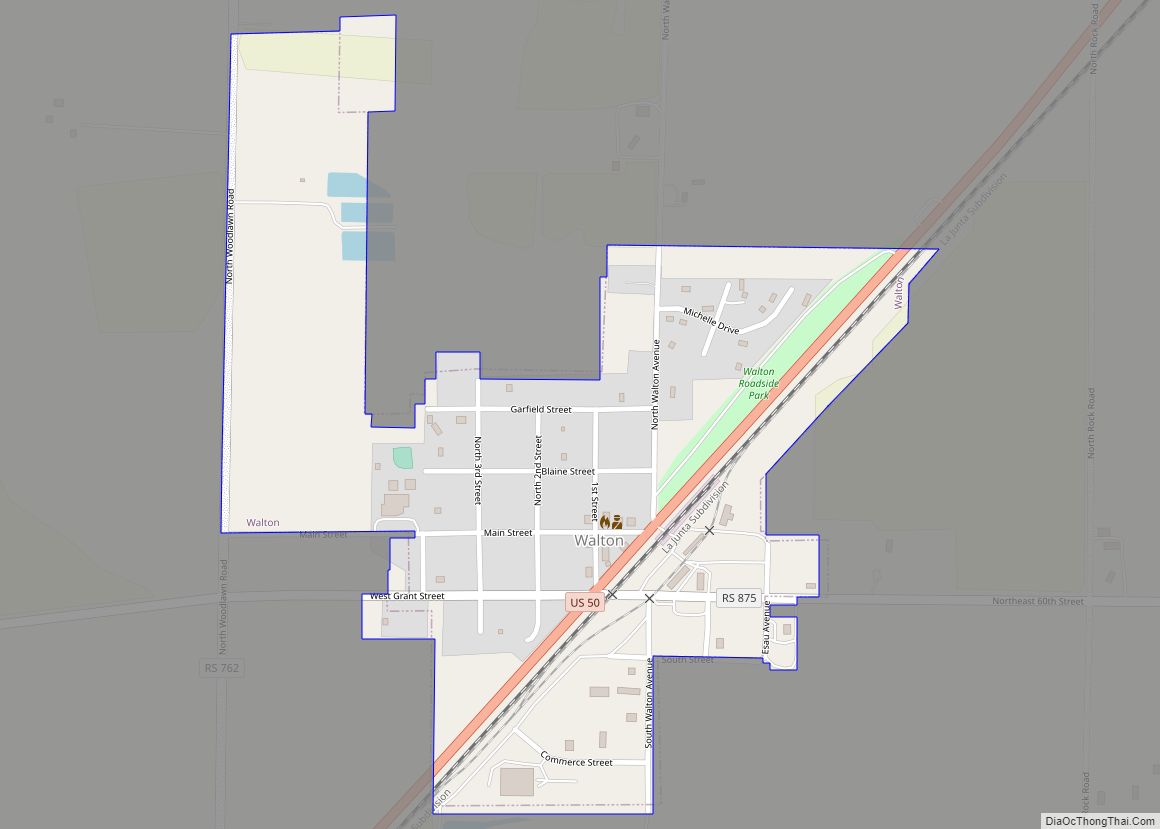
Online Interactive Map
Click on ![]() to view map in "full screen" mode.
to view map in "full screen" mode.
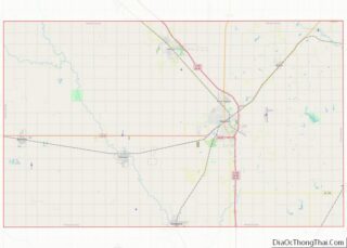
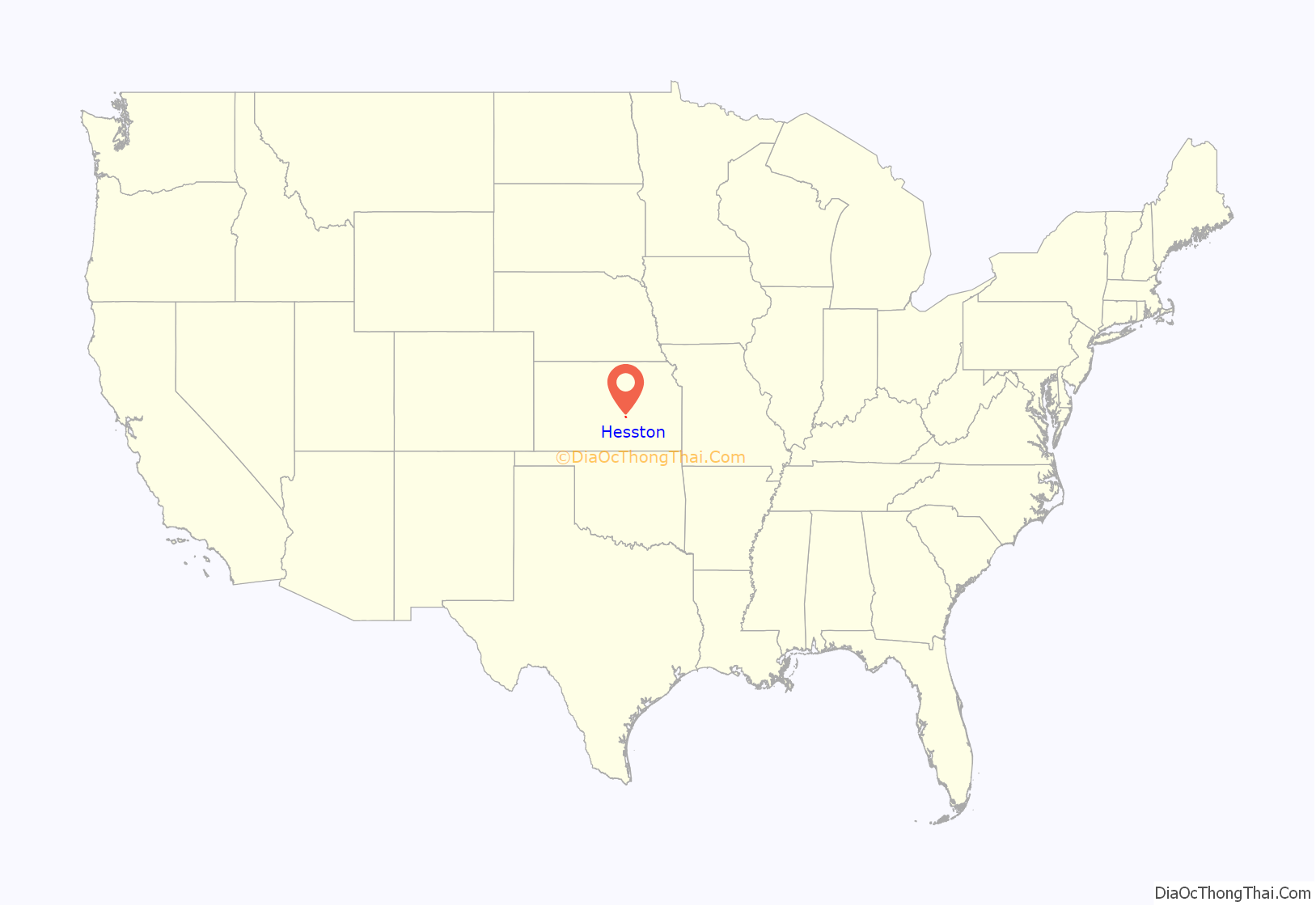
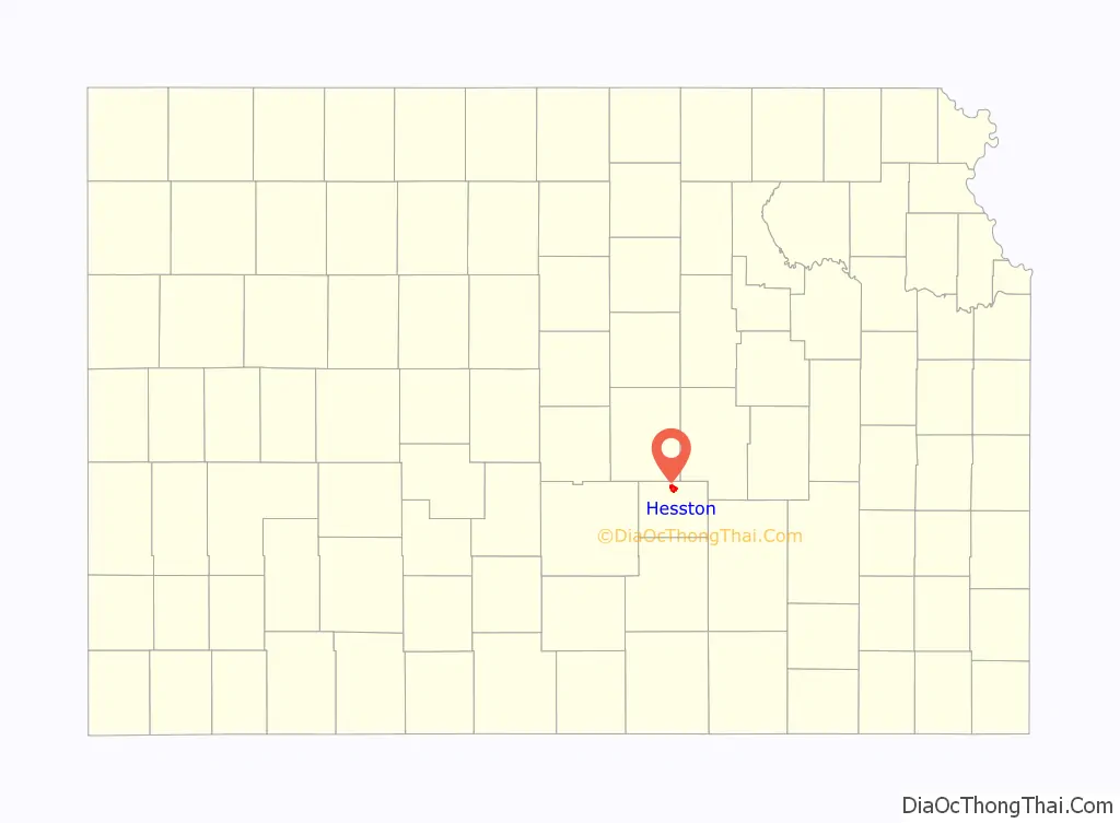
Hesston location map. Where is Hesston city?
History
Early history
For many millennia, the Great Plains of North America was inhabited by nomadic Native Americans. From the 16th century to 18th century, the Kingdom of France claimed ownership of large parts of North America. In 1762, after the French and Indian War, France secretly ceded New France to Spain, per the Treaty of Fontainebleau.
19th century
In 1802, Spain returned most of the land to France. In 1803, most of the land for modern day Kansas was acquired by the United States from France as part of the 828,000 square mile Louisiana Purchase for 2.83 cents per acre.
In 1854, the Kansas Territory was organized, and in 1861, Kansas became the 34th U.S. state. In 1872, Harvey County was established within the Kansas Territory which included the land for modern day Hesston.
A post office was established as Elivon on February 10, 1873. It then moved near the current city site on April 24, 1878.
In 1886, Hesston was founded and named after the Hess brothers who owned the land where a depot on the Missouri Pacific Railroad was built. The post office was renamed to Hesston on December 16, 1887. Due to the railroad, Hesston became an important regional shipping point.
20th century
In 1909, the Mennonite Church founded the Hesston College, because many of the early settlers were Mennonite farmers.
In 1947, Lyle Yost and Adin Holdemann founded the farm equipment company Hesston Manufacturing Company. In 1991, AGCO Corporation purchased the company. In the 1960s, John Regier founded the lawn mower company Excel Industries.
In 1981, the Dyck Arboretum of the Plains was founded at the Hesston College.
On March 13, 1990, a large portion of Hesston was damaged by an F5 tornado during a tornado outbreak. A total of 226 homes and 21 businesses were destroyed, and several were swept completely from their foundations. 20 farms were torn apart in rural areas outside of Hesston. Light debris from Hesston was found 115 miles (185 km) away in Nebraska. One person died and 59 people were injured. After passing through Hesston, the tornado increased to an “extreme F5” near the city of Goessel. The severity of the damage left behind by this tornado led some meteorologists to believe that the Goessel tornado was among the strongest ever documented at that time.
21st century
On February 25, 2016, Hesston became the scene of a mass shooting in which three people were killed and twelve others injured at an Excel Industries building. Prior to that shooting, other shooting incidents occurred at the nearby city of Newton and also Old U.S. Route 81, in which two people were wounded. The shooter was identified as Excel employee Cedric Larry Ford, who was killed by responding police officers.
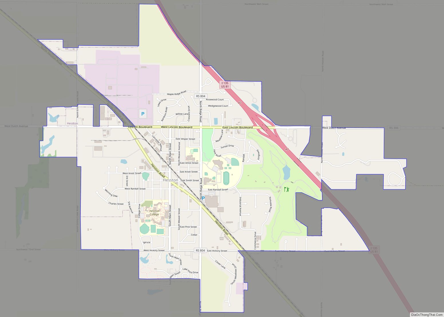
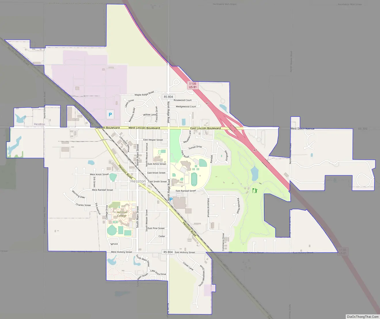
Hesston Road Map
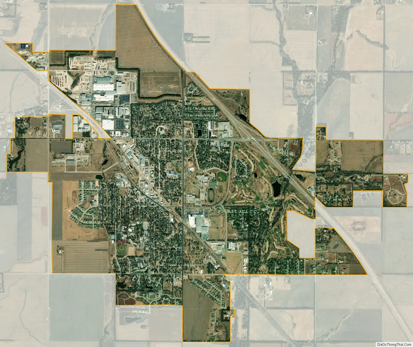
Hesston city Satellite Map
Geography
Hesston is located at coordinates 38.1383437, -97.4314267 in the state of Kansas. According to the United States Census Bureau, the city has a total area of 3.90 square miles (10.10 km), all of it land.
Climate
The climate in this area is characterized by hot, humid summers and generally mild to cool winters. According to the Köppen Climate Classification system, Hesston has a humid subtropical climate, abbreviated “Cfa” on climate maps.
See also
Map of Kansas State and its subdivision:- Allen
- Anderson
- Atchison
- Barber
- Barton
- Bourbon
- Brown
- Butler
- Chase
- Chautauqua
- Cherokee
- Cheyenne
- Clark
- Clay
- Cloud
- Coffey
- Comanche
- Cowley
- Crawford
- Decatur
- Dickinson
- Doniphan
- Douglas
- Edwards
- Elk
- Ellis
- Ellsworth
- Finney
- Ford
- Franklin
- Geary
- Gove
- Graham
- Grant
- Gray
- Greeley
- Greenwood
- Hamilton
- Harper
- Harvey
- Haskell
- Hodgeman
- Jackson
- Jefferson
- Jewell
- Johnson
- Kearny
- Kingman
- Kiowa
- Labette
- Lane
- Leavenworth
- Lincoln
- Linn
- Logan
- Lyon
- Marion
- Marshall
- McPherson
- Meade
- Miami
- Mitchell
- Montgomery
- Morris
- Morton
- Nemaha
- Neosho
- Ness
- Norton
- Osage
- Osborne
- Ottawa
- Pawnee
- Phillips
- Pottawatomie
- Pratt
- Rawlins
- Reno
- Republic
- Rice
- Riley
- Rooks
- Rush
- Russell
- Saline
- Scott
- Sedgwick
- Seward
- Shawnee
- Sheridan
- Sherman
- Smith
- Stafford
- Stanton
- Stevens
- Sumner
- Thomas
- Trego
- Wabaunsee
- Wallace
- Washington
- Wichita
- Wilson
- Woodson
- Wyandotte
- Alabama
- Alaska
- Arizona
- Arkansas
- California
- Colorado
- Connecticut
- Delaware
- District of Columbia
- Florida
- Georgia
- Hawaii
- Idaho
- Illinois
- Indiana
- Iowa
- Kansas
- Kentucky
- Louisiana
- Maine
- Maryland
- Massachusetts
- Michigan
- Minnesota
- Mississippi
- Missouri
- Montana
- Nebraska
- Nevada
- New Hampshire
- New Jersey
- New Mexico
- New York
- North Carolina
- North Dakota
- Ohio
- Oklahoma
- Oregon
- Pennsylvania
- Rhode Island
- South Carolina
- South Dakota
- Tennessee
- Texas
- Utah
- Vermont
- Virginia
- Washington
- West Virginia
- Wisconsin
- Wyoming