Kansas City (abbreviated as KCK) is the third-most populous city in the U.S. state of Kansas, and the county seat of Wyandotte County. It is an inner suburb of the older and more populous Kansas City, Missouri, after which it is named. As of the 2020 census, the population of the city was 156,607, making it one of four principal cities in the Kansas City metropolitan area. It is situated at Kaw Point, the junction of the Missouri and Kansas rivers. It is part of a consolidated city-county government known as the “Unified Government”. It is the location of the University of Kansas Medical Center and Kansas City Kansas Community College.
| Name: | Kansas City city |
|---|---|
| LSAD Code: | 25 |
| LSAD Description: | city (suffix) |
| State: | Kansas |
| County: | Wyandotte County |
| Incorporated: | 1872, 1886 |
| Elevation: | 869 ft (265 m) |
| Total Area: | 128.30 sq mi (332.31 km²) |
| Land Area: | 124.74 sq mi (323.07 km²) |
| Water Area: | 3.57 sq mi (9.24 km²) |
| Total Population: | 156,607 |
| Population Density: | 1,200/sq mi (470/km²) |
| ZIP code: | 66101-66113, 66115, 66117-66119, 66160 |
| Area code: | 913 |
| FIPS code: | 2036000 |
| Website: | wycokck.org |
Online Interactive Map
Click on ![]() to view map in "full screen" mode.
to view map in "full screen" mode.
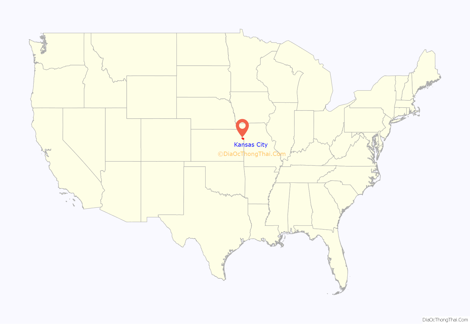
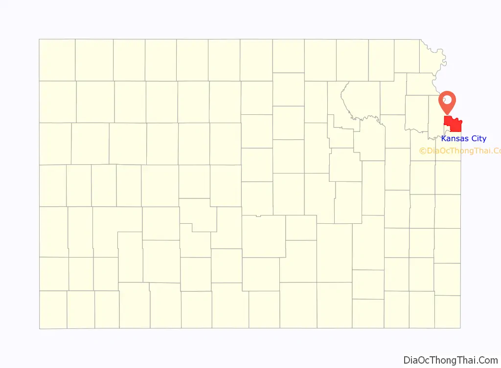
Kansas City location map. Where is Kansas City city?
History
In October 1872, “old” Kansas City, Kansas, was incorporated. The first city election was held on October 22 of that year, by order of Judge Hiram Stevens of the Tenth Judicial District, and resulted in the election of Mayor James Boyle. The mayors of the city after its organization were James Boyle, C. A. Eidemiller, A. S. Orbison, Eli Teed and Samuel McConnell. In June 1880, the Governor of Kansas, John St. John, proclaimed the city of Kansas City a city of the second class with Mayor McConnell present.
In March 1886, “new” Kansas City, Kansas, was formed through the consolidation of five municipalities: “old” Kansas City, Armstrong, Armourdale, Riverview, Wyandotte. The oldest city of the group was Wyandotte, which was formed in 1857 by Wyandot Native Americans and Methodist missionaries.
In the 1890s, the city saw an explosive growth in population as a streetcar suburb of Kansas City, Missouri. This growth continued until the 1930s. It was one of the nation’s 100 largest cities for many U.S. Census counts, from 1890 to 1960, including 1920, when it had a population of over 100,000 residents for the first time.
As with adjacent Kansas City, Missouri, the percentage of the city’s most populous ethnic group, non-Hispanic whites, has declined from 76.3% in 1970 to 40.2% in 2010. In 1997, voters approved a proposition to unify the city and county governments creating the Unified Government of Wyandotte County.
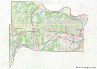
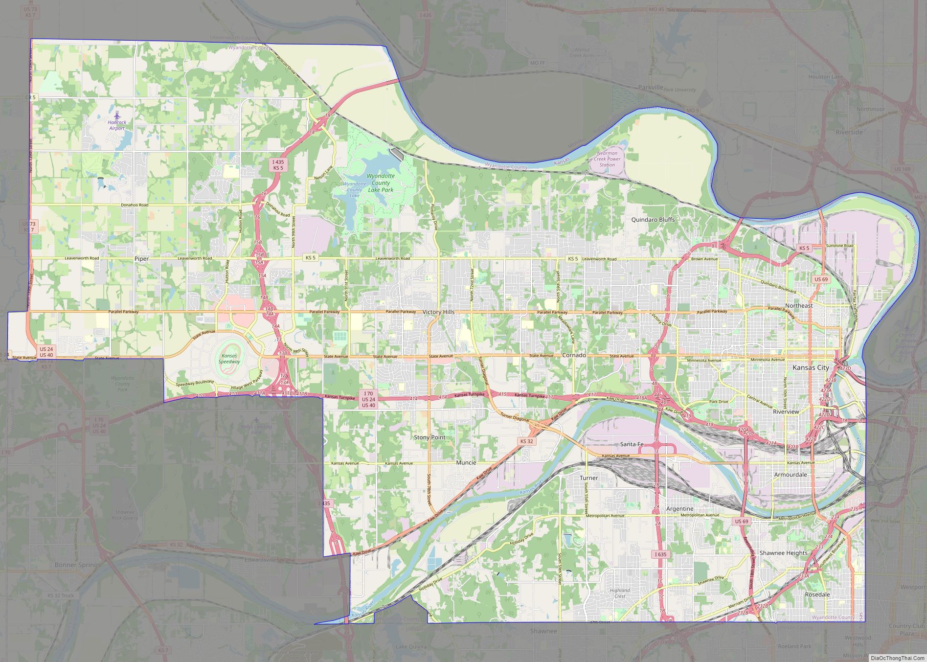
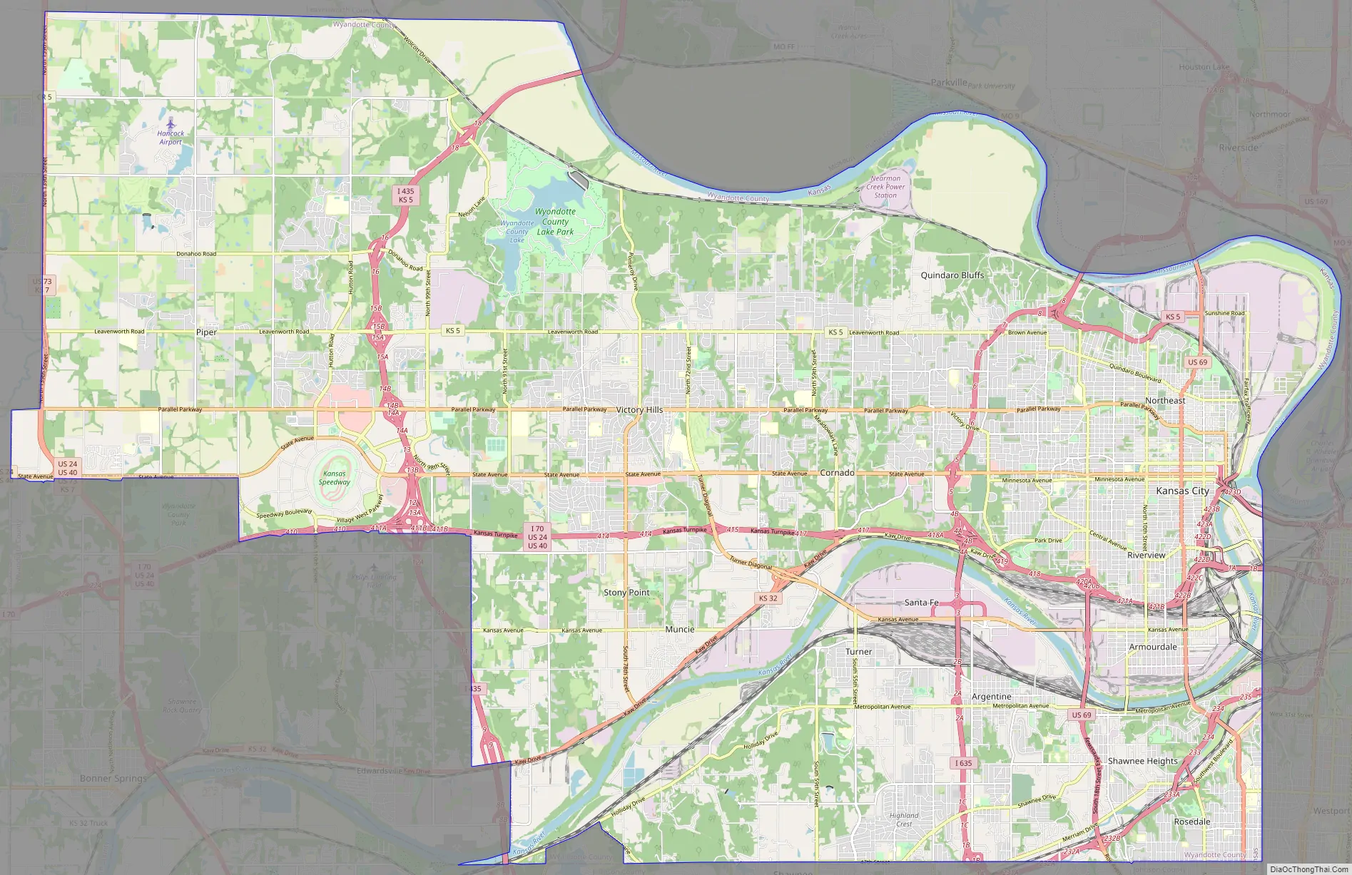
Kansas City Road Map
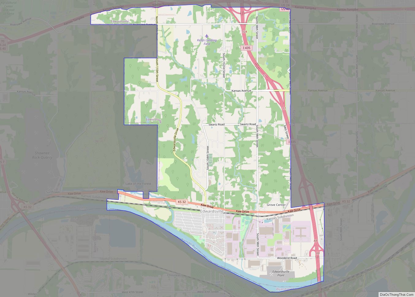
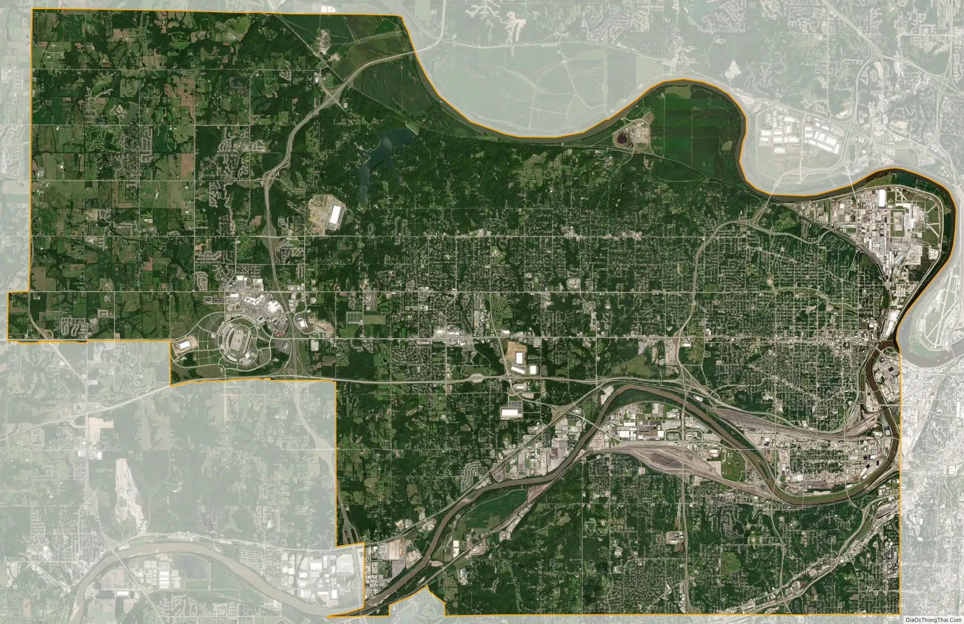
Kansas City city Satellite Map
Geography
According to the United States Census Bureau, the city has a total area of 128.38 square miles (332.50 km), of which, 124.81 square miles (323.26 km) is land and 3.57 square miles (9.25 km) is water.
Neighborhoods
Neighborhoods of Kansas City, Kansas, include the following:
- Downtown
- Argentine – former home to the silver smelter for which it was named; it was consolidated with Kansas City in 1910
- Armourdale – formerly a city, it was consolidated with the city of Kansas City in 1886
- Armstrong – a small town sitting on the northern bluff of the Kansas River, absorbed in the merger of Wyandotte, Kansas City, and Armourdale
- Arrickary Subdivision
- Bethel – a neighborhood located generally along Leavenworth Rd., between 72nd and 77th Streets. It was never incorporated as a municipality
- Fairfax District – an industrial area along the Missouri River
- Hanover Heights
- Historic Westheight
- Muncie
- Maywood – until the late 1990s, Maywood was a quiet, isolated residential area; it is now part of the “Village West” project that includes the Legends shopping and entertainment district, the Children’s Mercy Park soccer stadium, Monarchs’ Community America baseball park, the Schlitterbahn amusement water park, the Kansas Speedway racetrack and Hollywood Casino
- McGrew Grove
- Nearman
- Northeast Neighborhoods
- Parkwood
- Piper
- Polish Hill
- Pomeroy – a late-19th—early-20th-century Train Depot, Trading Post, Saw Mill, and river landing for barges to load and unload
- Quindaro Bluffs
- Riverview – like Armstrong, a small town on the northern river bluff, absorbed in the merger of Wyandotte, Kansas City, and Armourdale
- Rosedale – consolidated with Kansas City in 1922
- Stony Point
- Strawberry Hill
- Turner – community around the Wyandotte-Johnson County border to the Kansas River north-south, and from I-635 to I-435 east-west
- VinewoodKaw Point Park from the west (2007, highlighted by red arrow)
- Wolcott
- Welborn
Parks and parkways
- City Park
- Wyandotte County Lake Park
- Big Eleven Park
- Boston Daniels’ Park (Dedicated to the first Black Chief of Police in the United States)
- Kaw Point Park
Climate
Kansas City lies in the Midwestern United States, as well as near the geographic center of the country, at the confluence of the longest river in the country, the Missouri River, and the Kansas River (also known as the Kaw River). The city lies in the humid continental climate (Köppen Dfa) zone, with four distinct seasons, and moderate precipitation, and is part of USDA plant hardiness zone 6. Being located in the center of North America, far removed from a significant body of water, there is significant potential for extremes of hot and cold swings in temperature throughout the year. Unless otherwise stated, normal figures below are based on data from 1981 to 2010 at Downtown Airport. The warmest month of the year is July, with a 24-hour average temperature of 81.0 °F (27.2 °C). The summer months are hot, but can get very hot and moderately humid, with moist air riding up from the Gulf of Mexico. High temperatures surpass 100 °F (38 °C) on 5.6 days of the year, and 90 °F (32 °C) on 47 days. The coldest month of the year is January, with an average temperature of 31.0 °F (−0.6 °C). Winters are cold, with 22 days where the high is at or below the freezing mark and 2.5 nights with a low at or below 0 °F (−18 °C). The official record maximum temperature is 113 °F (45 °C), set on August 14, 1936, at Downtown Airport, while the official record minimum temperature is −23 °F (−31 °C), set on December 22 and 23, 1989. Normal seasonal snowfall is 13.4 inches (34 cm) at Downtown Airport and 18.8 in (48 cm) at Kansas City International Airport. The average window for freezing temperatures is October 31 to April 4, while for measurable (0.1 in or 0.25 cm) snowfall, it is November 27 to March 16 as measured at Kansas City International Airport. Precipitation, both in frequency and total accumulation, shows a marked uptick in late spring and summer.
Kansas City is situated on the edge of the “Tornado Alley”, a broad region where cold air from the Rocky Mountains in Canada collides with warm air from the Gulf of Mexico, leading to the formation of powerful storms especially during the spring. A few areas of the Kansas City Metropolitan Area have had some severe outbreaks of tornadoes at different points in the past, including the Ruskin Heights tornado in 1957, the May 2003 tornado outbreak sequence and the Tornado Outbreak Sequence of May 2019. The region can also fall victim to the sporadic ice storm during the winter months, such as the 2002 ice storm during which hundreds of thousands lost power for days and (in some cases) weeks. Kansas City and its outlying areas are also subject to flooding, including the Great Flood of 1951 and the Great Flood of 1993.
See also
Map of Kansas State and its subdivision:- Allen
- Anderson
- Atchison
- Barber
- Barton
- Bourbon
- Brown
- Butler
- Chase
- Chautauqua
- Cherokee
- Cheyenne
- Clark
- Clay
- Cloud
- Coffey
- Comanche
- Cowley
- Crawford
- Decatur
- Dickinson
- Doniphan
- Douglas
- Edwards
- Elk
- Ellis
- Ellsworth
- Finney
- Ford
- Franklin
- Geary
- Gove
- Graham
- Grant
- Gray
- Greeley
- Greenwood
- Hamilton
- Harper
- Harvey
- Haskell
- Hodgeman
- Jackson
- Jefferson
- Jewell
- Johnson
- Kearny
- Kingman
- Kiowa
- Labette
- Lane
- Leavenworth
- Lincoln
- Linn
- Logan
- Lyon
- Marion
- Marshall
- McPherson
- Meade
- Miami
- Mitchell
- Montgomery
- Morris
- Morton
- Nemaha
- Neosho
- Ness
- Norton
- Osage
- Osborne
- Ottawa
- Pawnee
- Phillips
- Pottawatomie
- Pratt
- Rawlins
- Reno
- Republic
- Rice
- Riley
- Rooks
- Rush
- Russell
- Saline
- Scott
- Sedgwick
- Seward
- Shawnee
- Sheridan
- Sherman
- Smith
- Stafford
- Stanton
- Stevens
- Sumner
- Thomas
- Trego
- Wabaunsee
- Wallace
- Washington
- Wichita
- Wilson
- Woodson
- Wyandotte
- Alabama
- Alaska
- Arizona
- Arkansas
- California
- Colorado
- Connecticut
- Delaware
- District of Columbia
- Florida
- Georgia
- Hawaii
- Idaho
- Illinois
- Indiana
- Iowa
- Kansas
- Kentucky
- Louisiana
- Maine
- Maryland
- Massachusetts
- Michigan
- Minnesota
- Mississippi
- Missouri
- Montana
- Nebraska
- Nevada
- New Hampshire
- New Jersey
- New Mexico
- New York
- North Carolina
- North Dakota
- Ohio
- Oklahoma
- Oregon
- Pennsylvania
- Rhode Island
- South Carolina
- South Dakota
- Tennessee
- Texas
- Utah
- Vermont
- Virginia
- Washington
- West Virginia
- Wisconsin
- Wyoming