Lansing is a city in Leavenworth County, Kansas, United States. It is situated along the west side of the Missouri River and Kansas-Missouri state border. As of the 2020 census, the population of the city was 11,239. It is the second most populous city of Leavenworth County and is a part of the Kansas City metropolitan area. The Lansing Correctional Facility (formerly the Kansas State Penitentiary), which includes the state’s main maximum-security prison, is located in Lansing.
| Name: | Lansing city |
|---|---|
| LSAD Code: | 25 |
| LSAD Description: | city (suffix) |
| State: | Kansas |
| County: | Leavenworth County |
| Incorporated: | 1959 |
| Elevation: | 850 ft (260 m) |
| Total Area: | 12.41 sq mi (32.14 km²) |
| Land Area: | 12.31 sq mi (31.88 km²) |
| Water Area: | 0.10 sq mi (0.27 km²) 0.88% |
| Total Population: | 11,239 |
| Population Density: | 910/sq mi (350/km²) |
| ZIP code: | 66043 |
| Area code: | 913 |
| FIPS code: | 2038650 |
| Website: | lansingks.org |
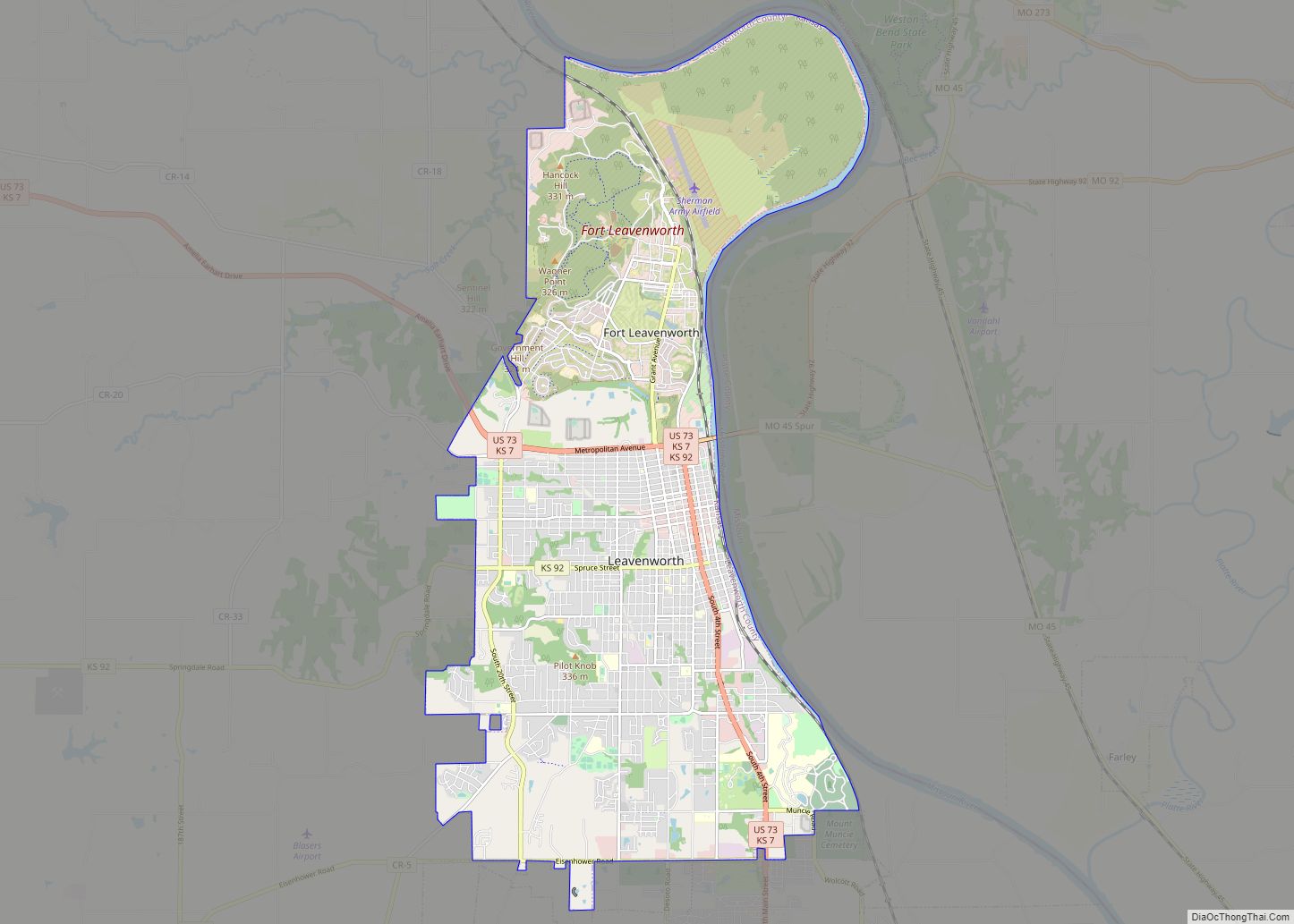
Online Interactive Map
Click on ![]() to view map in "full screen" mode.
to view map in "full screen" mode.
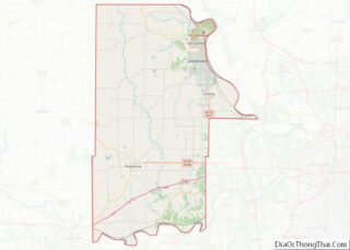
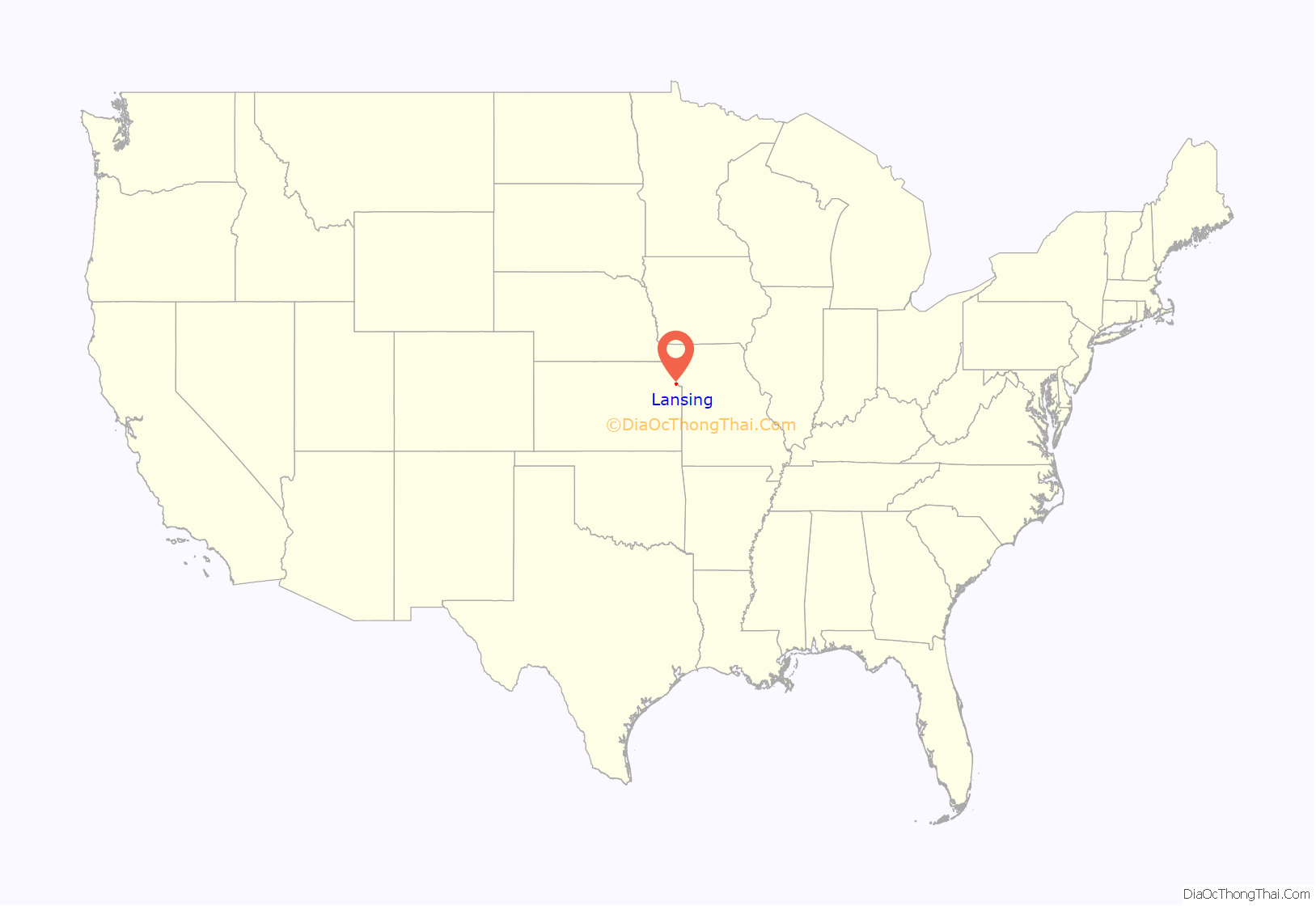
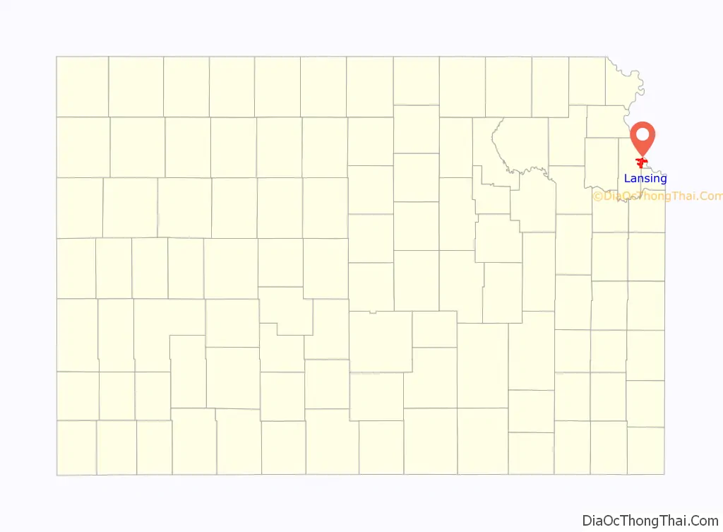
Lansing location map. Where is Lansing city?
History
Lansing is named for James Lansing, a pioneer settler. Formerly William Lansing Taylor, James changed his name upon his enlistment in 1862 as a hospital steward in the 7th Kansas Cavalry. Following the Civil War, he earned a position at the new state penitentiary in Kansas as a hospital steward. He later resigned and opened a general mercantile store, which held the post office and an apothecary business, in the area called “Town of Progress”. “Doc Lansing”, as he became known, and his friend John C. Schmidt became co-owners of 90 acres (360,000 m) of land that was platted into town lots in 1878; they named the area “Town of Lansing”. Lansing did not become an incorporated city until 1959.
The Kansas State Penitentiary, later renamed the Lansing Correctional Facility in 1990, was authorized by the Kansas Constitution in 1859; it is the state’s largest and oldest facility for detention and rehabilitation of male adult felons. With the opening of the coal mine at the prison the town became an important shipping point for this product.
Lansing was ranked 88 in the top 100 of Money Magazine’s 2007 list of best places to live.
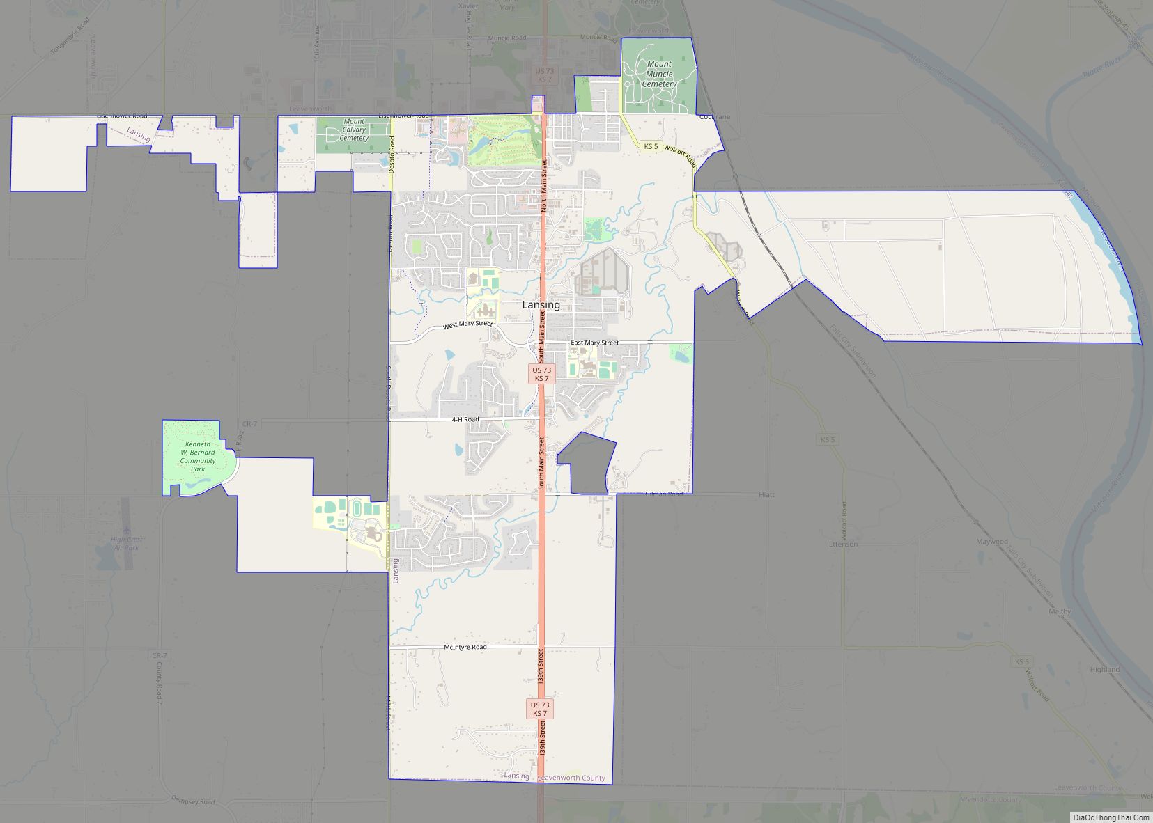
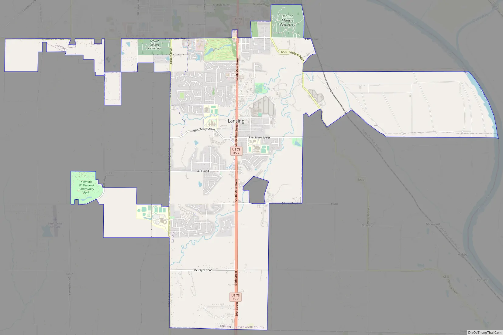
Lansing Road Map
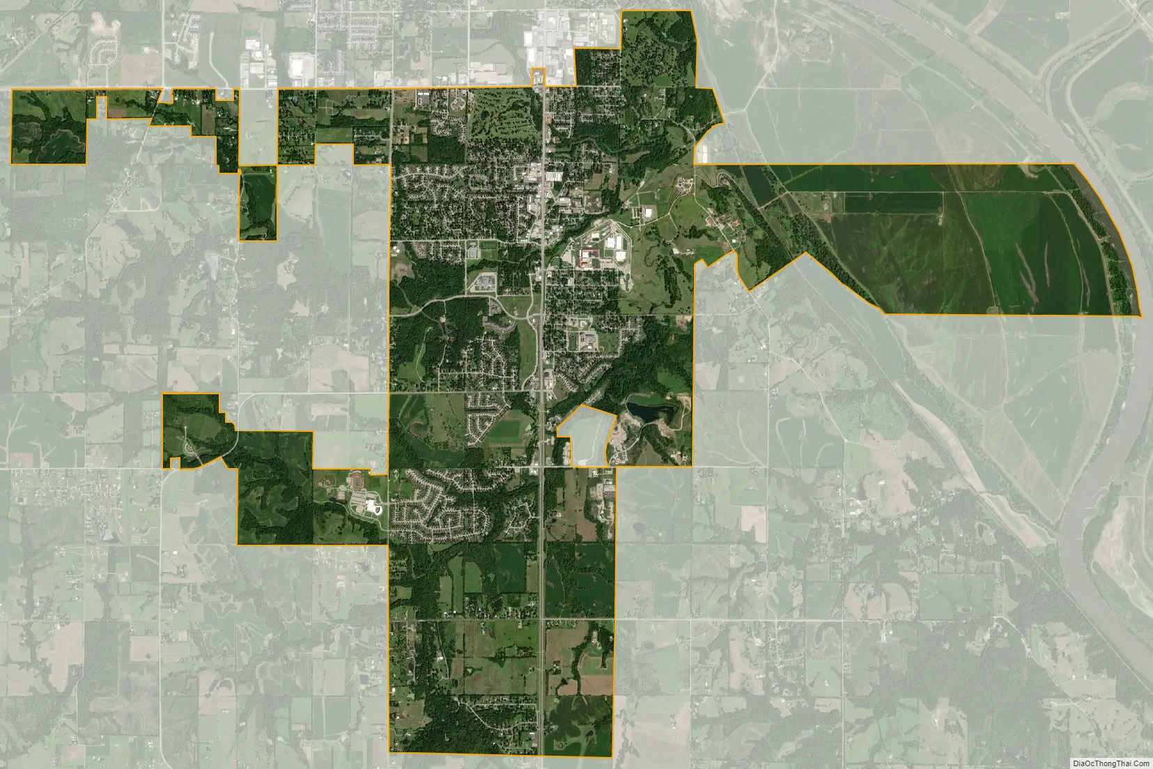
Lansing city Satellite Map
Geography
Lansing is located at 39°14′55″N 94°53′31″W / 39.24861°N 94.89194°W / 39.24861; -94.89194 (39.248689, -94.891880). The city is situated along the western bank of the Missouri River which also marks the Kansas–Missouri state border. It is bordered by the city of Leavenworth to the north; Kansas City is less than a half-hour to the southeast. U.S. Route 73 passes through the city.
According to the United States Census Bureau, the city has a total area of 12.50 square miles (32.37 km), of which, 12.39 square miles (32.09 km) is land and 0.11 square miles (0.28 km) is water.
Climate
The climate in this area is characterized by hot, humid summers and generally mild to cool winters. According to the Köppen Climate Classification system, Lansing has a humid subtropical climate, abbreviated “Cfa” on climate maps.
See also
Map of Kansas State and its subdivision:- Allen
- Anderson
- Atchison
- Barber
- Barton
- Bourbon
- Brown
- Butler
- Chase
- Chautauqua
- Cherokee
- Cheyenne
- Clark
- Clay
- Cloud
- Coffey
- Comanche
- Cowley
- Crawford
- Decatur
- Dickinson
- Doniphan
- Douglas
- Edwards
- Elk
- Ellis
- Ellsworth
- Finney
- Ford
- Franklin
- Geary
- Gove
- Graham
- Grant
- Gray
- Greeley
- Greenwood
- Hamilton
- Harper
- Harvey
- Haskell
- Hodgeman
- Jackson
- Jefferson
- Jewell
- Johnson
- Kearny
- Kingman
- Kiowa
- Labette
- Lane
- Leavenworth
- Lincoln
- Linn
- Logan
- Lyon
- Marion
- Marshall
- McPherson
- Meade
- Miami
- Mitchell
- Montgomery
- Morris
- Morton
- Nemaha
- Neosho
- Ness
- Norton
- Osage
- Osborne
- Ottawa
- Pawnee
- Phillips
- Pottawatomie
- Pratt
- Rawlins
- Reno
- Republic
- Rice
- Riley
- Rooks
- Rush
- Russell
- Saline
- Scott
- Sedgwick
- Seward
- Shawnee
- Sheridan
- Sherman
- Smith
- Stafford
- Stanton
- Stevens
- Sumner
- Thomas
- Trego
- Wabaunsee
- Wallace
- Washington
- Wichita
- Wilson
- Woodson
- Wyandotte
- Alabama
- Alaska
- Arizona
- Arkansas
- California
- Colorado
- Connecticut
- Delaware
- District of Columbia
- Florida
- Georgia
- Hawaii
- Idaho
- Illinois
- Indiana
- Iowa
- Kansas
- Kentucky
- Louisiana
- Maine
- Maryland
- Massachusetts
- Michigan
- Minnesota
- Mississippi
- Missouri
- Montana
- Nebraska
- Nevada
- New Hampshire
- New Jersey
- New Mexico
- New York
- North Carolina
- North Dakota
- Ohio
- Oklahoma
- Oregon
- Pennsylvania
- Rhode Island
- South Carolina
- South Dakota
- Tennessee
- Texas
- Utah
- Vermont
- Virginia
- Washington
- West Virginia
- Wisconsin
- Wyoming