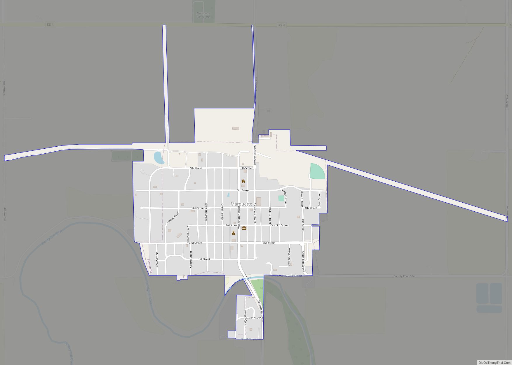
Marquette is a city in McPherson County, Kansas, United States. As of the 2020 census, the population of the city was 599. It is located between K-4 and the Smoky Hill River.
| Name: | Marquette city |
|---|---|
| LSAD Code: | 25 |
| LSAD Description: | city (suffix) |
| State: | Kansas |
| County: | McPherson County |
| Founded: | 1874 |
| Incorporated: | 1874 |
| Elevation: | 1,391 ft (424 m) |
| Total Area: | 0.48 sq mi (1.25 km²) |
| Land Area: | 0.48 sq mi (1.25 km²) |
| Water Area: | 0.00 sq mi (0.00 km²) |
| Total Population: | 599 |
| Population Density: | 1,200/sq mi (480/km²) |
| ZIP code: | 67464 |
| Area code: | 785 |
| FIPS code: | 2044925 |
| Website: | marquettekansas.com |
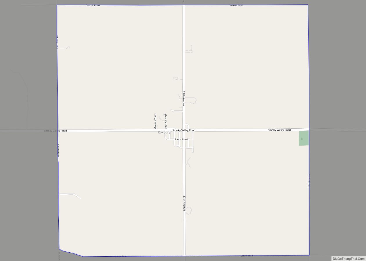
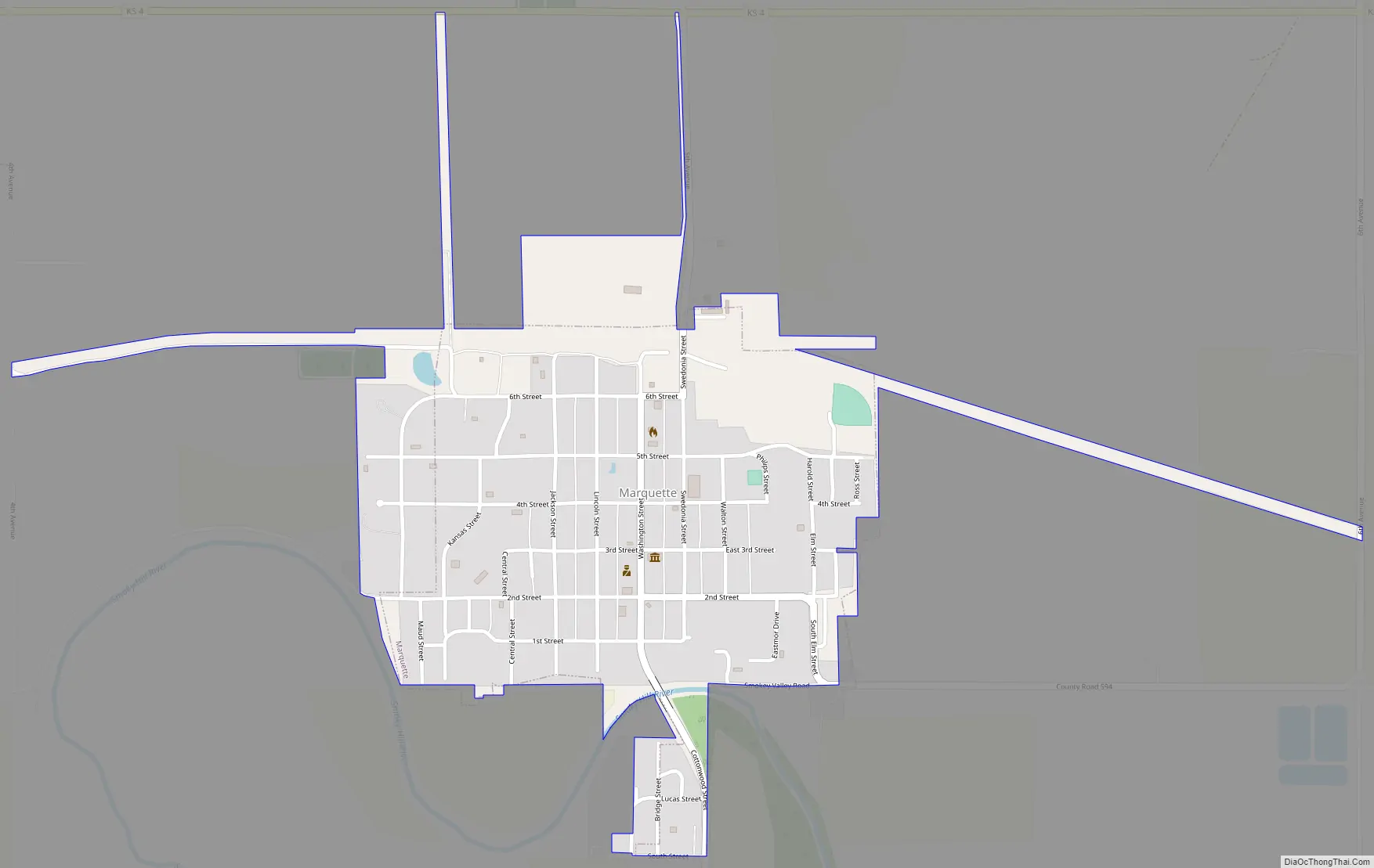
Online Interactive Map
Click on ![]() to view map in "full screen" mode.
to view map in "full screen" mode.
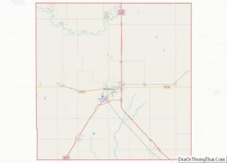
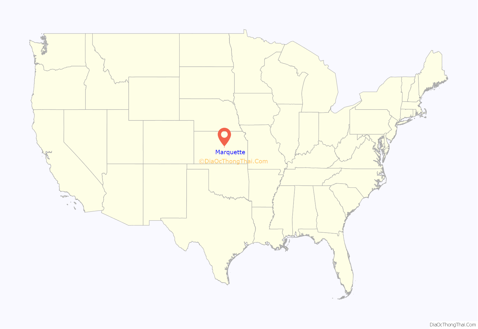
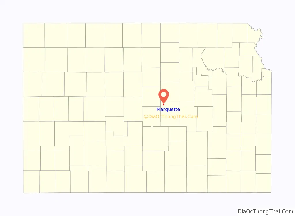
Marquette location map. Where is Marquette city?
History
For millennia, the land now known as Kansas was inhabited by Native Americans. In 1803, most of modern Kansas was secured by the United States as part of the Louisiana Purchase. In 1854, the Kansas Territory was organized, then in 1861 Kansas became the 34th U.S. state. In 1867, McPherson County was founded.
In 1873, what eventually would become Marquette began on the banks of the Smoky Hill River with a flour mill. The site was surveyed and on February 9, 1874, the town was chartered. It was settled by Swedish immigrants and Civil War veterans. It was named after Marquette, Michigan. Marquette was located on the Missouri Pacific Railroad.
On the night of May 8–9, 1905, an F4 tornado destroyed much of the town, killing 34 people. Many homes in town were blown away and entire families were killed.
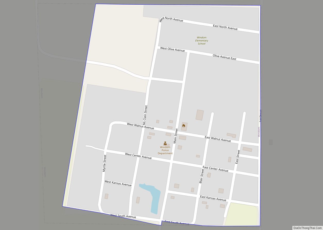
Marquette Road Map
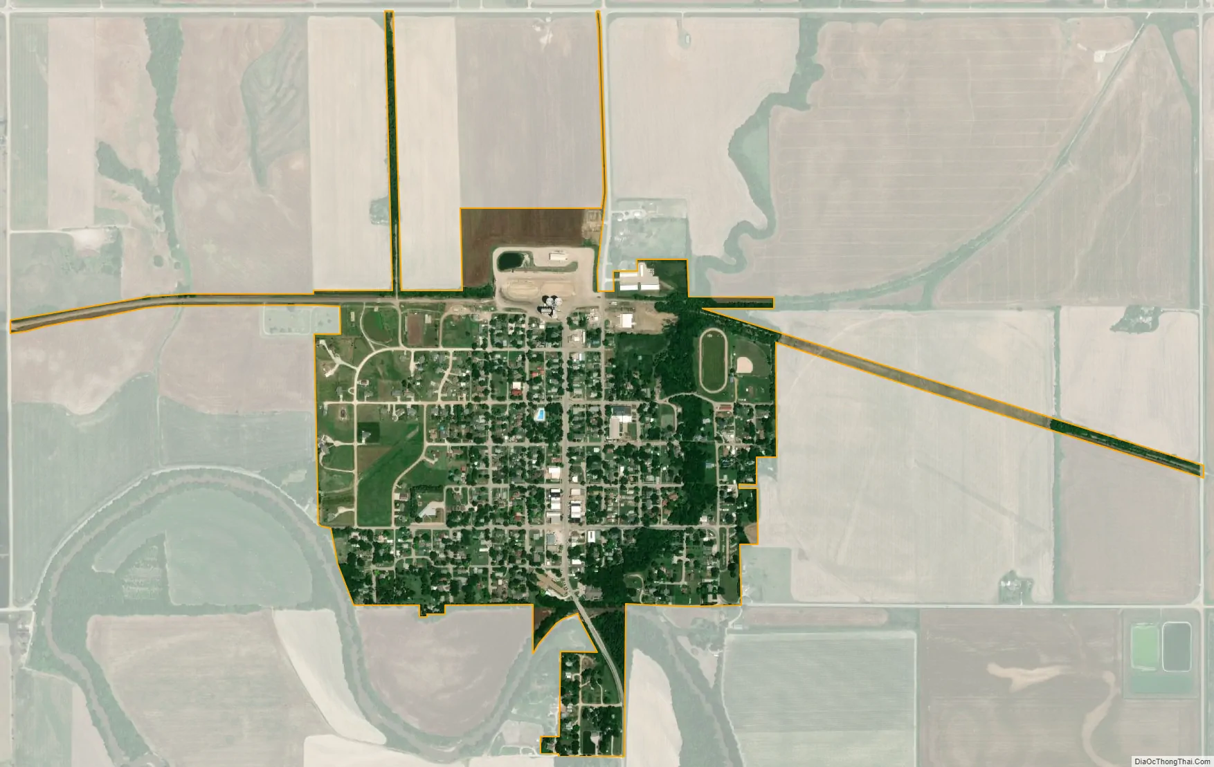
Marquette city Satellite Map
Geography
Marquette is located at 38°33′14″N 97°50′00″W / 38.553824°N 97.833275°W / 38.553824; -97.833275 (38.553824, -97.833275), at an elevation of 1385 feet (422 m), in the Smoky Hills region of Kansas. The area is highlighted by outcrops of Cretaceous-era sandstone known as the Dakota Formation. The seas dating back to that era left hills and buttes which rise sharply about the surrounding plains. According to the United States Census Bureau, the city has a total area of 0.44 square miles (1.14 km), all of it land.
Climate
The climate in this area is characterized by hot, humid summers and generally mild to cool winters. According to the Köppen Climate Classification system, Marquette has a humid subtropical climate, abbreviated “Cfa” on climate maps.
See also
Map of Kansas State and its subdivision:- Allen
- Anderson
- Atchison
- Barber
- Barton
- Bourbon
- Brown
- Butler
- Chase
- Chautauqua
- Cherokee
- Cheyenne
- Clark
- Clay
- Cloud
- Coffey
- Comanche
- Cowley
- Crawford
- Decatur
- Dickinson
- Doniphan
- Douglas
- Edwards
- Elk
- Ellis
- Ellsworth
- Finney
- Ford
- Franklin
- Geary
- Gove
- Graham
- Grant
- Gray
- Greeley
- Greenwood
- Hamilton
- Harper
- Harvey
- Haskell
- Hodgeman
- Jackson
- Jefferson
- Jewell
- Johnson
- Kearny
- Kingman
- Kiowa
- Labette
- Lane
- Leavenworth
- Lincoln
- Linn
- Logan
- Lyon
- Marion
- Marshall
- McPherson
- Meade
- Miami
- Mitchell
- Montgomery
- Morris
- Morton
- Nemaha
- Neosho
- Ness
- Norton
- Osage
- Osborne
- Ottawa
- Pawnee
- Phillips
- Pottawatomie
- Pratt
- Rawlins
- Reno
- Republic
- Rice
- Riley
- Rooks
- Rush
- Russell
- Saline
- Scott
- Sedgwick
- Seward
- Shawnee
- Sheridan
- Sherman
- Smith
- Stafford
- Stanton
- Stevens
- Sumner
- Thomas
- Trego
- Wabaunsee
- Wallace
- Washington
- Wichita
- Wilson
- Woodson
- Wyandotte
- Alabama
- Alaska
- Arizona
- Arkansas
- California
- Colorado
- Connecticut
- Delaware
- District of Columbia
- Florida
- Georgia
- Hawaii
- Idaho
- Illinois
- Indiana
- Iowa
- Kansas
- Kentucky
- Louisiana
- Maine
- Maryland
- Massachusetts
- Michigan
- Minnesota
- Mississippi
- Missouri
- Montana
- Nebraska
- Nevada
- New Hampshire
- New Jersey
- New Mexico
- New York
- North Carolina
- North Dakota
- Ohio
- Oklahoma
- Oregon
- Pennsylvania
- Rhode Island
- South Carolina
- South Dakota
- Tennessee
- Texas
- Utah
- Vermont
- Virginia
- Washington
- West Virginia
- Wisconsin
- Wyoming