Mildred is a unincorporated community in Allen County, Kansas, United States. As of the 2020 census, the population of the community and nearby areas was 25. It is located 7 miles north of Moran along US 59 highway.
| Name: | Mildred city |
|---|---|
| LSAD Code: | 25 |
| LSAD Description: | city (suffix) |
| State: | Kansas |
| County: | Allen County |
| Founded: | 1907 |
| Elevation: | 1,063 ft (324 m) |
| Total Area: | 0.21 sq mi (0.54 km²) |
| Land Area: | 0.21 sq mi (0.54 km²) |
| Water Area: | 0 sq mi (0 km²) |
| Total Population: | 25 |
| Population Density: | 120/sq mi (46/km²) |
| Area code: | 620 |
| FIPS code: | 2046500 |
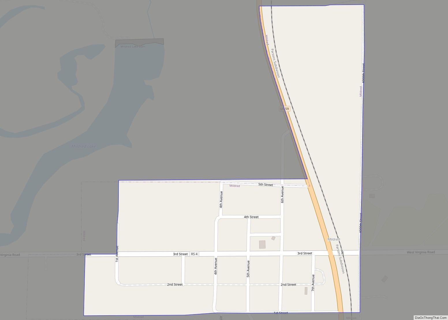
Online Interactive Map
Click on ![]() to view map in "full screen" mode.
to view map in "full screen" mode.
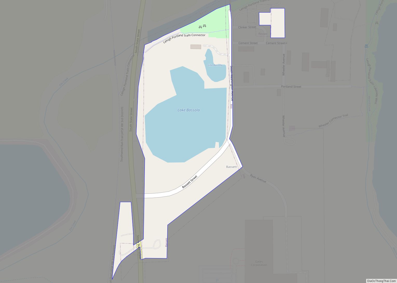
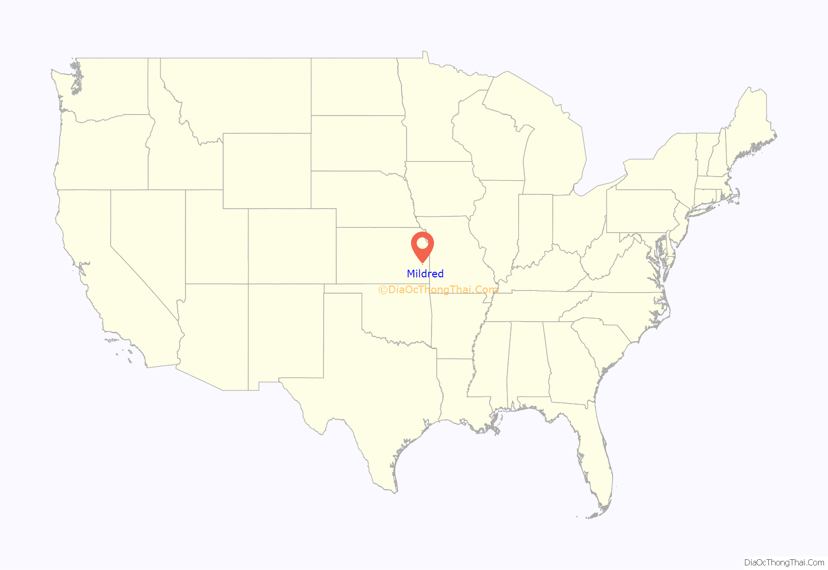
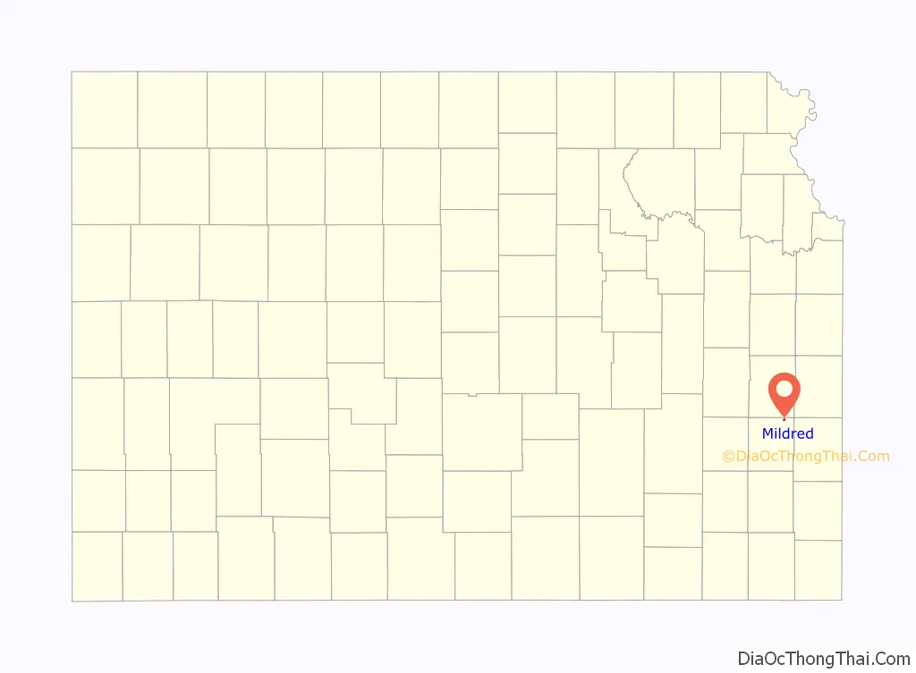
Mildred location map. Where is Mildred city?
History
Mildred was founded in 1907 by Sam Dermott for the Great Western Cement Company. The community was named for the daughter of J. W. Wagner a local industrialist, and the president of the cement company. For much of the twentieth century, the community was served by the Missouri–Kansas–Texas Railroad, which maintained a passenger depot in the community, as well as spur lines that served the cement plant and the grain elevator. Cement was shipped all over the world, and cement from the plant was used to construct the Liberty Memorial and World War I museum in Kansas City, Missouri. At its peak the community had a population of approximately 2,000 and the cement plant employed 375, but the community lost most of its population when the plant closed. It was a city until it later disincorporated.
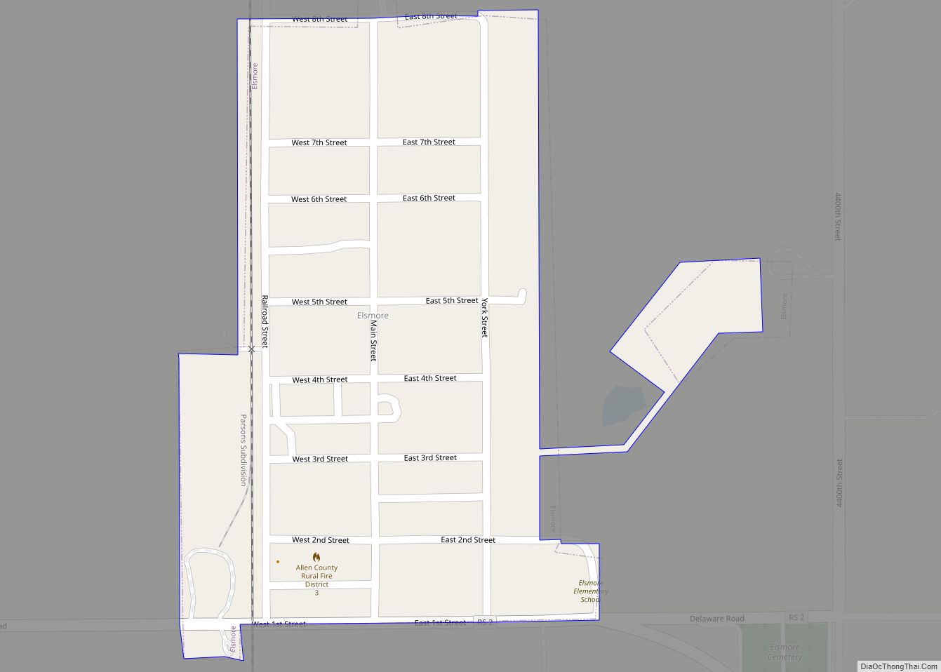
Mildred Road Map
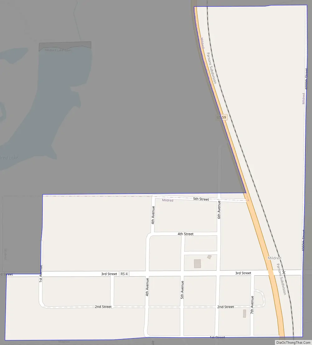
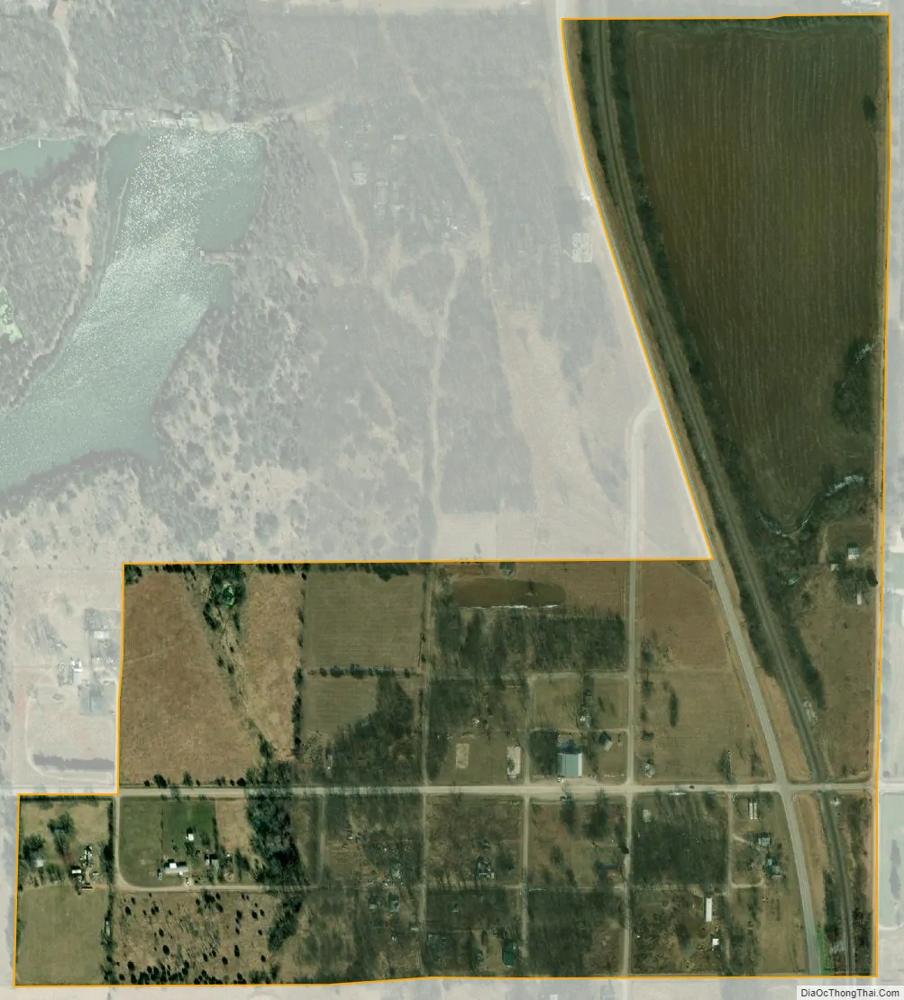
Mildred city Satellite Map
Geography
Mildred is located at 38°1′22″N 95°10′25″W / 38.02278°N 95.17361°W / 38.02278; -95.17361 (38.022777, -95.173512). According to the United States Census Bureau, the community has a total area of 0.21 square miles (0.54 km), all of it land.
See also
Map of Kansas State and its subdivision:- Allen
- Anderson
- Atchison
- Barber
- Barton
- Bourbon
- Brown
- Butler
- Chase
- Chautauqua
- Cherokee
- Cheyenne
- Clark
- Clay
- Cloud
- Coffey
- Comanche
- Cowley
- Crawford
- Decatur
- Dickinson
- Doniphan
- Douglas
- Edwards
- Elk
- Ellis
- Ellsworth
- Finney
- Ford
- Franklin
- Geary
- Gove
- Graham
- Grant
- Gray
- Greeley
- Greenwood
- Hamilton
- Harper
- Harvey
- Haskell
- Hodgeman
- Jackson
- Jefferson
- Jewell
- Johnson
- Kearny
- Kingman
- Kiowa
- Labette
- Lane
- Leavenworth
- Lincoln
- Linn
- Logan
- Lyon
- Marion
- Marshall
- McPherson
- Meade
- Miami
- Mitchell
- Montgomery
- Morris
- Morton
- Nemaha
- Neosho
- Ness
- Norton
- Osage
- Osborne
- Ottawa
- Pawnee
- Phillips
- Pottawatomie
- Pratt
- Rawlins
- Reno
- Republic
- Rice
- Riley
- Rooks
- Rush
- Russell
- Saline
- Scott
- Sedgwick
- Seward
- Shawnee
- Sheridan
- Sherman
- Smith
- Stafford
- Stanton
- Stevens
- Sumner
- Thomas
- Trego
- Wabaunsee
- Wallace
- Washington
- Wichita
- Wilson
- Woodson
- Wyandotte
- Alabama
- Alaska
- Arizona
- Arkansas
- California
- Colorado
- Connecticut
- Delaware
- District of Columbia
- Florida
- Georgia
- Hawaii
- Idaho
- Illinois
- Indiana
- Iowa
- Kansas
- Kentucky
- Louisiana
- Maine
- Maryland
- Massachusetts
- Michigan
- Minnesota
- Mississippi
- Missouri
- Montana
- Nebraska
- Nevada
- New Hampshire
- New Jersey
- New Mexico
- New York
- North Carolina
- North Dakota
- Ohio
- Oklahoma
- Oregon
- Pennsylvania
- Rhode Island
- South Carolina
- South Dakota
- Tennessee
- Texas
- Utah
- Vermont
- Virginia
- Washington
- West Virginia
- Wisconsin
- Wyoming