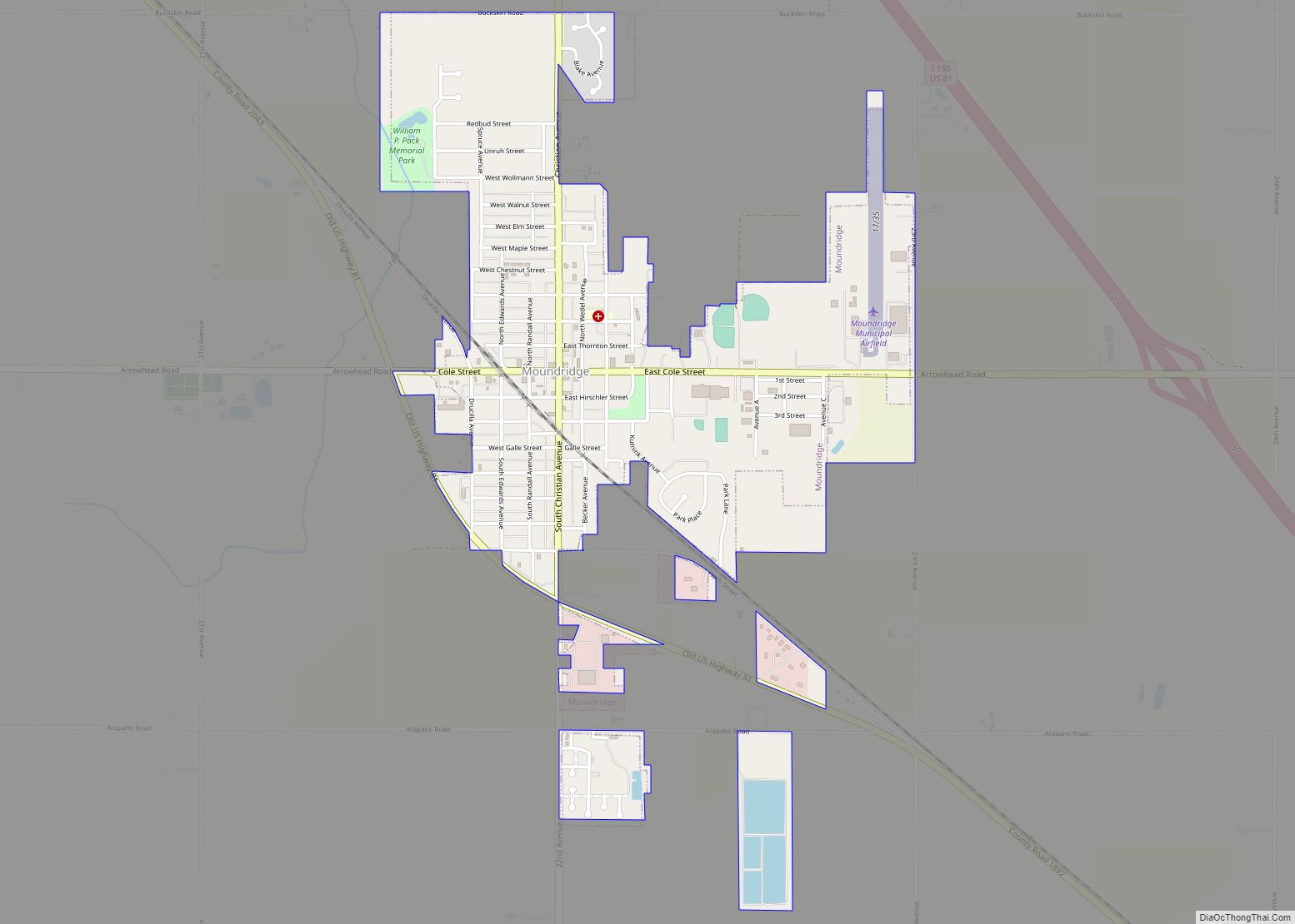
Moundridge is a city in McPherson County, Kansas, United States. As of the 2020 census, the population of the city was 1,974. Manufacturing facilities for Grasshopper (lawn mowers) and Bradbury Group (roll forming equipment) are located in Moundridge.
| Name: | Moundridge city |
|---|---|
| LSAD Code: | 25 |
| LSAD Description: | city (suffix) |
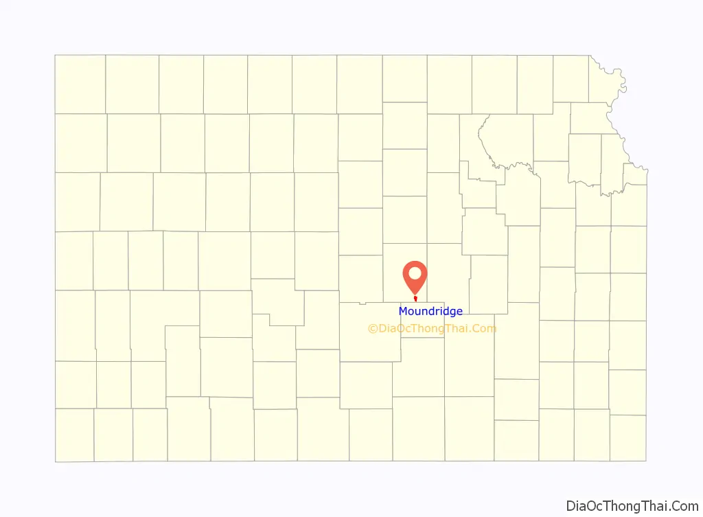
| State: | Kansas |
| County: | McPherson County |
| Founded: | 1876 (Christian) |
| Incorporated: | 1887 (Moundridge) |
| Elevation: | 1,493 ft (455 m) |
| Total Area: | 1.61 sq mi (4.17 km²) |
| Land Area: | 1.57 sq mi (4.06 km²) |
| Water Area: | 0.04 sq mi (0.11 km²) |
| Total Population: | 1,974 |
| Population Density: | 1,200/sq mi (470/km²) |
| ZIP code: | 67107 |
| Area code: | 620 |
| FIPS code: | 2048800 |
| Website: | moundridge.com |
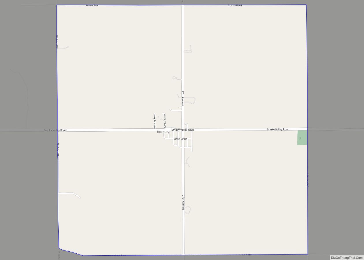
Online Interactive Map
Click on ![]() to view map in "full screen" mode.
to view map in "full screen" mode.
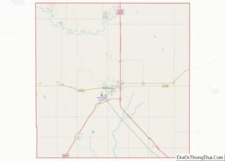
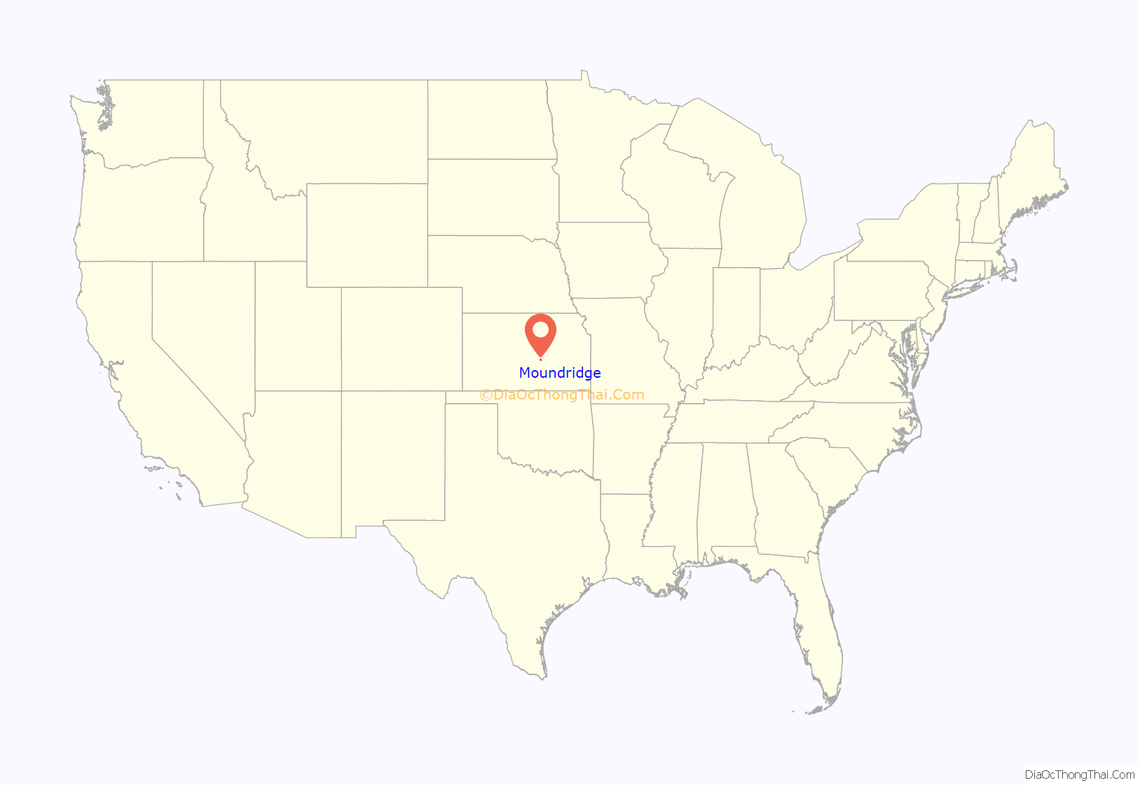
Moundridge location map. Where is Moundridge city?
History
Early history
For millennia, the Great Plains of North America were inhabited by nomadic Native Americans. From the 16th to the 18th century, the Kingdom of France claimed ownership of large parts of North America. In 1762, after the French and Indian War, France secretly ceded New France to Spain, under the terms of the Treaty of Fontainebleau.
19th century
In 1802, Spain returned most of the land to France, keeping title to about 7,500 square miles. In 1803, most of the land that comprises modern day Kansas was acquired by the United States from France as part of the 828,000 square mile Louisiana Purchase.
In 1854, the Kansas Territory was organized under the provisions of the Kansas–Nebraska Act, then in 1861 Kansas became the 34th US state. In 1867, McPherson County was established, which included the land for modern day Moundridge.
In 1876, the community was founded with the name Christian. In 1887, it was renamed and incorporated as Moundridge on account of the elevation of the town site.
Between 1874 and 1880, of the approximately 45,000 Mennonites who had been living in South Russia, 10,000 departed for the United States and 8,000 for Manitoba. Available cropland in the central United States was similar to that in their homelands in the Crimean Peninsula. Since the central part of the state was settled, Kansas has enjoyed the reputation as the top wheat-producing state. Settlers in central Kansas, experienced in Russian methods of dryland farming and flour milling, introduced winter wheat in 1873 and quickly saw their industry become dominant. The museums in nearby Hillsboro and Goessel demonstrate the lives and times of these early settlers.
Almost all of the original settlers of McPherson County spoke German, many exclusively. With the coming of the automobile and the importance of commercial participation with the English-speaking citizens, the use of German diminished in importance. The participation of the United States in World Wars I and II dramatically increased the use of English and by the early 1940s, ministers rarely preached in German. As of the year 2000, a very small number of German religious publications are available, primarily for use by elderly congregants.
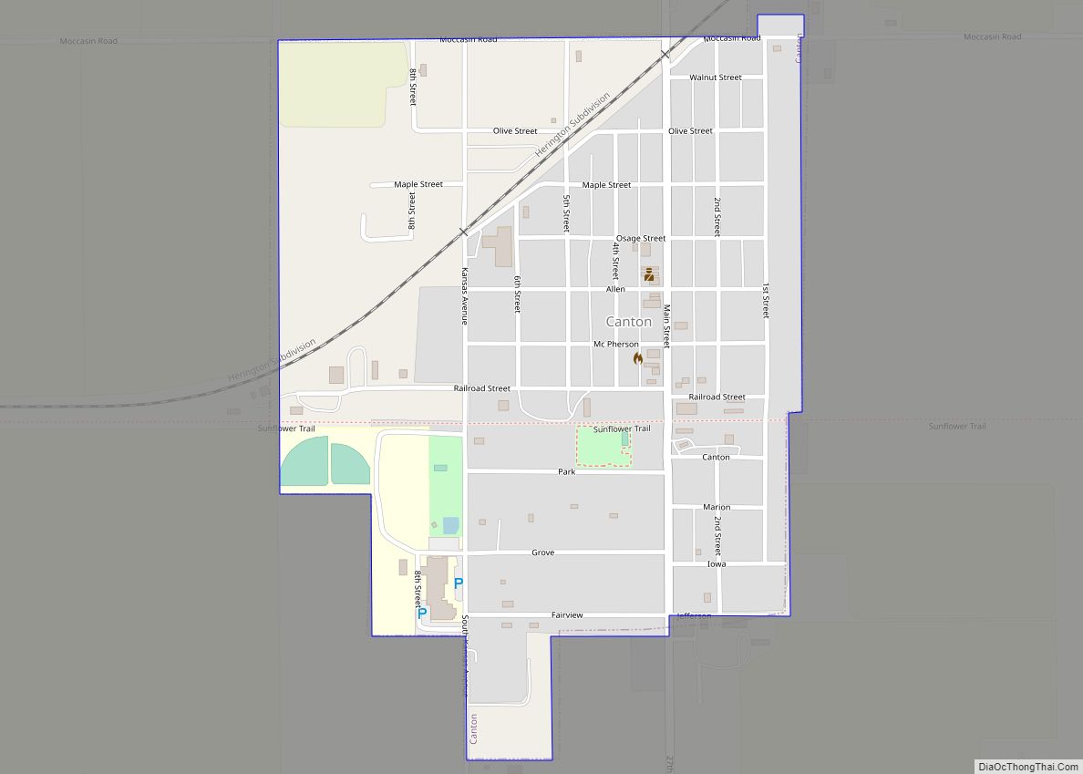
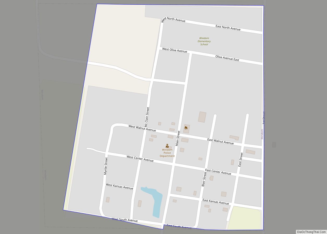
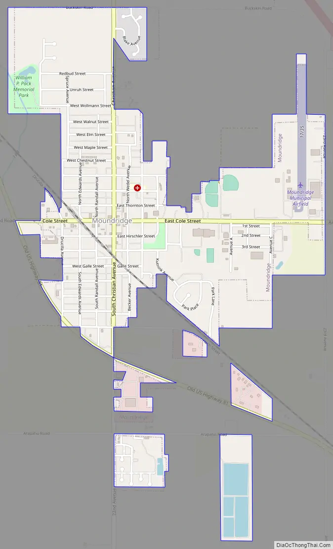
Moundridge Road Map
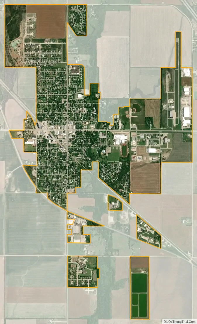
Moundridge city Satellite Map
Geography
Moundridge is located at 38°12′9″N 97°31′7″W / 38.20250°N 97.51861°W / 38.20250; -97.51861 (38.202497, −97.518506). According to the United States Census Bureau, the city has a total area of 1.41 square miles (3.65 km), all of it land.
See also
Map of Kansas State and its subdivision:- Allen
- Anderson
- Atchison
- Barber
- Barton
- Bourbon
- Brown
- Butler
- Chase
- Chautauqua
- Cherokee
- Cheyenne
- Clark
- Clay
- Cloud
- Coffey
- Comanche
- Cowley
- Crawford
- Decatur
- Dickinson
- Doniphan
- Douglas
- Edwards
- Elk
- Ellis
- Ellsworth
- Finney
- Ford
- Franklin
- Geary
- Gove
- Graham
- Grant
- Gray
- Greeley
- Greenwood
- Hamilton
- Harper
- Harvey
- Haskell
- Hodgeman
- Jackson
- Jefferson
- Jewell
- Johnson
- Kearny
- Kingman
- Kiowa
- Labette
- Lane
- Leavenworth
- Lincoln
- Linn
- Logan
- Lyon
- Marion
- Marshall
- McPherson
- Meade
- Miami
- Mitchell
- Montgomery
- Morris
- Morton
- Nemaha
- Neosho
- Ness
- Norton
- Osage
- Osborne
- Ottawa
- Pawnee
- Phillips
- Pottawatomie
- Pratt
- Rawlins
- Reno
- Republic
- Rice
- Riley
- Rooks
- Rush
- Russell
- Saline
- Scott
- Sedgwick
- Seward
- Shawnee
- Sheridan
- Sherman
- Smith
- Stafford
- Stanton
- Stevens
- Sumner
- Thomas
- Trego
- Wabaunsee
- Wallace
- Washington
- Wichita
- Wilson
- Woodson
- Wyandotte
- Alabama
- Alaska
- Arizona
- Arkansas
- California
- Colorado
- Connecticut
- Delaware
- District of Columbia
- Florida
- Georgia
- Hawaii
- Idaho
- Illinois
- Indiana
- Iowa
- Kansas
- Kentucky
- Louisiana
- Maine
- Maryland
- Massachusetts
- Michigan
- Minnesota
- Mississippi
- Missouri
- Montana
- Nebraska
- Nevada
- New Hampshire
- New Jersey
- New Mexico
- New York
- North Carolina
- North Dakota
- Ohio
- Oklahoma
- Oregon
- Pennsylvania
- Rhode Island
- South Carolina
- South Dakota
- Tennessee
- Texas
- Utah
- Vermont
- Virginia
- Washington
- West Virginia
- Wisconsin
- Wyoming