Portis is a city in Osborne County, Kansas, United States. As of the 2020 census, the population of the city was 86.
| Name: | Portis city |
|---|---|
| LSAD Code: | 25 |
| LSAD Description: | city (suffix) |
| State: | Kansas |
| County: | Osborne County |
| Founded: | 1870s |
| Incorporated: | 1904 |
| Elevation: | 1,542 ft (470 m) |
| Total Area: | 0.26 sq mi (0.68 km²) |
| Land Area: | 0.26 sq mi (0.68 km²) |
| Water Area: | 0.00 sq mi (0.00 km²) |
| Total Population: | 86 |
| Population Density: | 330/sq mi (130/km²) |
| ZIP code: | 67474 |
| Area code: | 785 |
| FIPS code: | 2057100 |
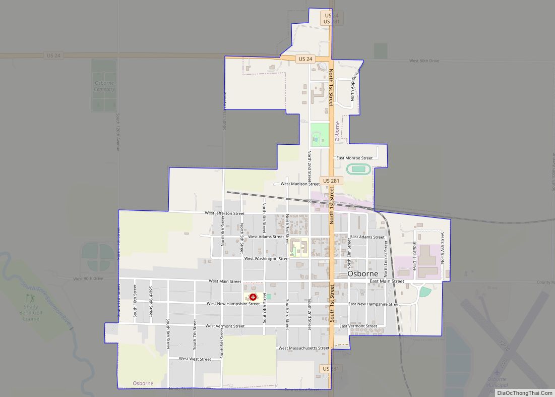
Online Interactive Map
Click on ![]() to view map in "full screen" mode.
to view map in "full screen" mode.
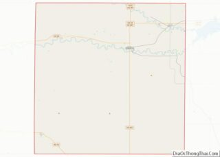
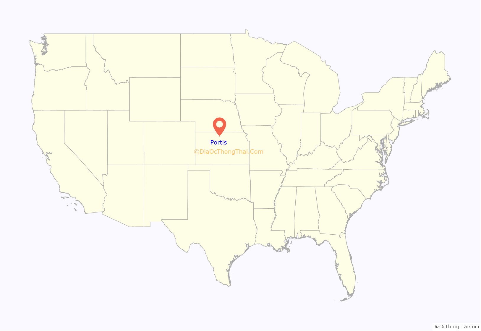
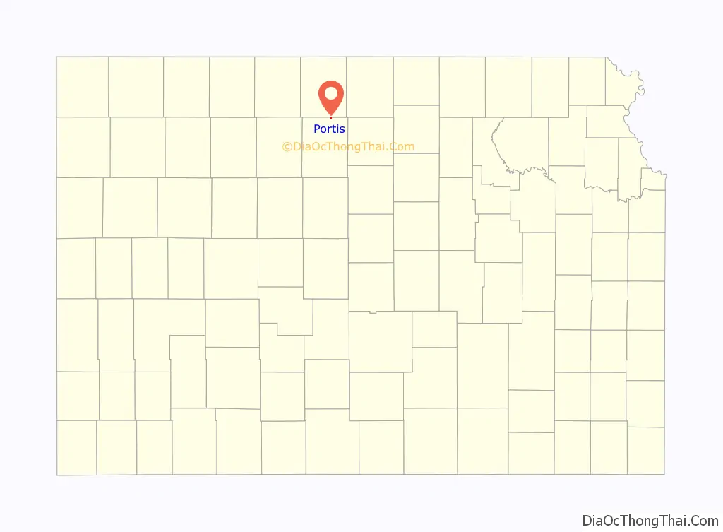
Portis location map. Where is Portis city?
History
The first settlement at Portis was made in 1871. In that year a trading post was established at the site.
In 1879, the town was platted with the name of Bethany. The Central Branch Railroad routed through the city and built a station. Later, the railroad was sold to the Missouri Pacific Railroad, it became the second “Bethany” on their railroad system. To prevent conflicts with Bethany, Missouri, it was decided to change the name of this station. The name was changed to Portis, in honor of the Vice-President of the Missouri Pacific, Thomas Jefferson Portis (born in 1827).
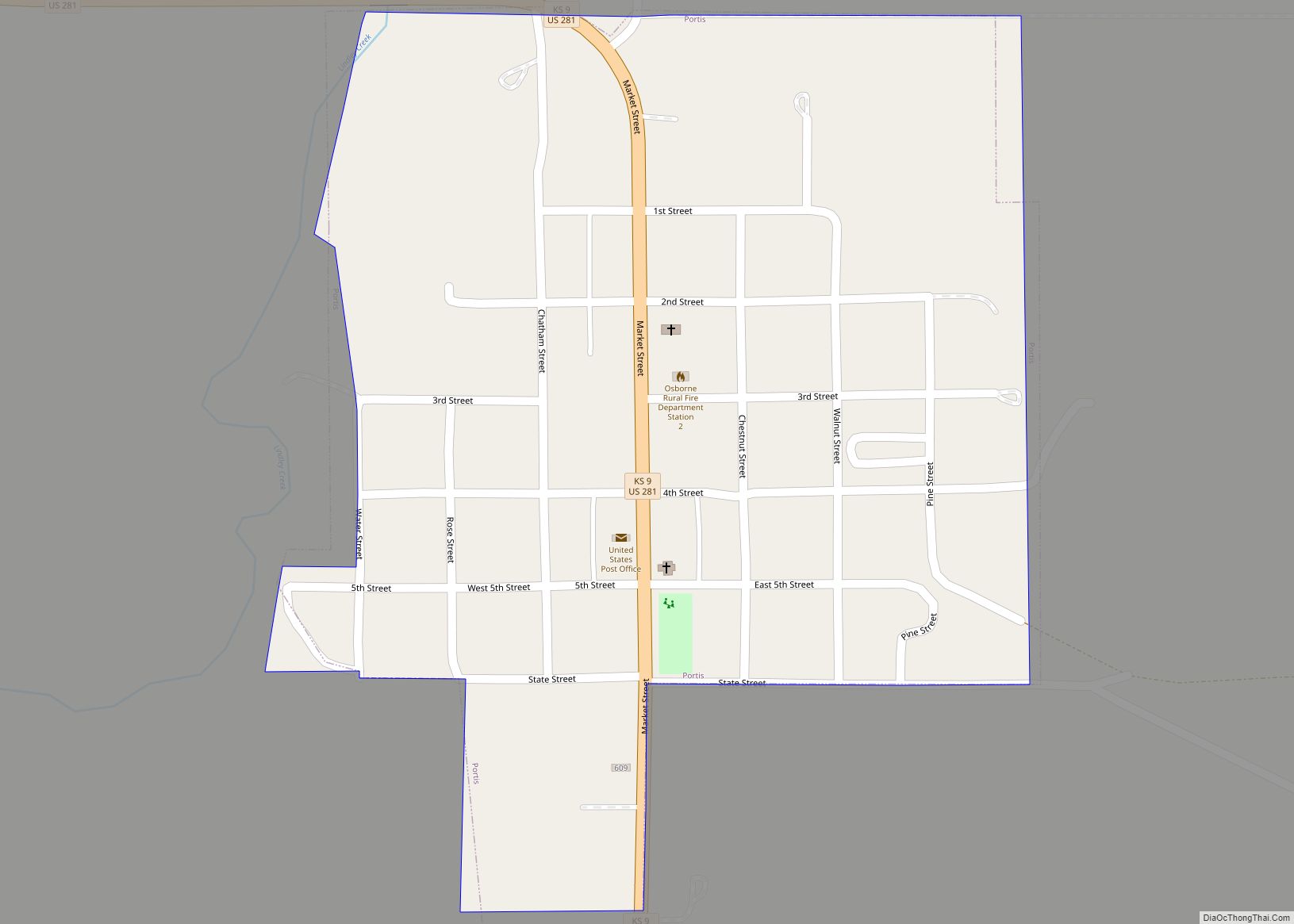
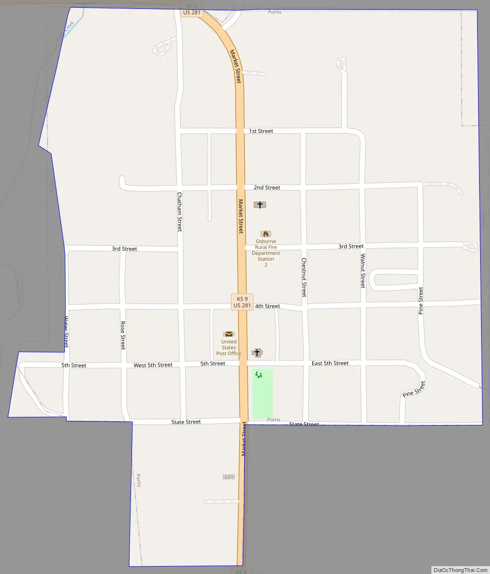
Portis Road Map
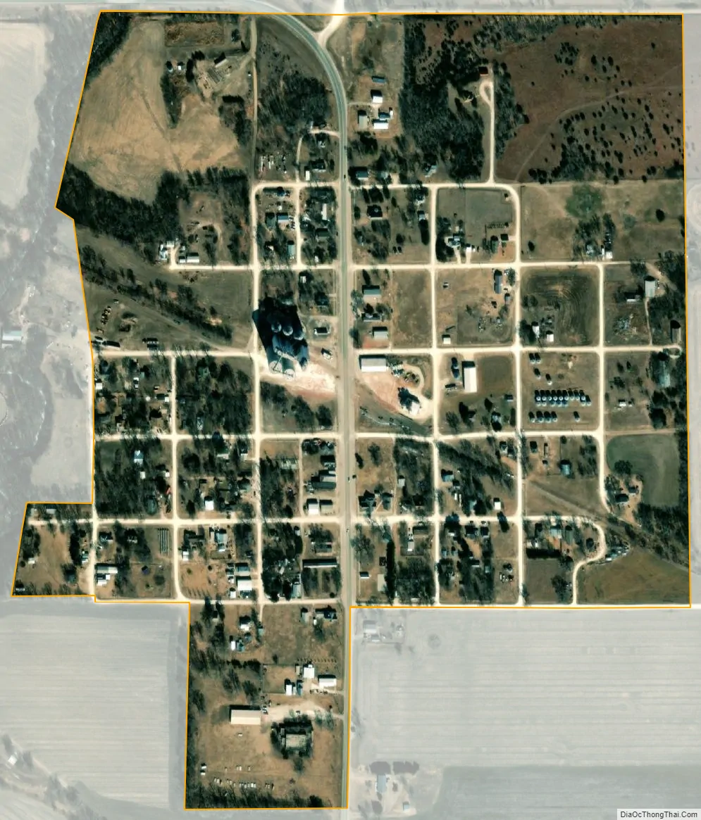
Portis city Satellite Map
Geography
Portis is located at 39°33′46″N 98°41′29″W / 39.56278°N 98.69139°W / 39.56278; -98.69139 (39.562813, -98.691408). According to the United States Census Bureau, the city has a total area of 0.25 square miles (0.65 km), all of it land.
Portis is located on the north fork of the Solomon River.
See also
Map of Kansas State and its subdivision:- Allen
- Anderson
- Atchison
- Barber
- Barton
- Bourbon
- Brown
- Butler
- Chase
- Chautauqua
- Cherokee
- Cheyenne
- Clark
- Clay
- Cloud
- Coffey
- Comanche
- Cowley
- Crawford
- Decatur
- Dickinson
- Doniphan
- Douglas
- Edwards
- Elk
- Ellis
- Ellsworth
- Finney
- Ford
- Franklin
- Geary
- Gove
- Graham
- Grant
- Gray
- Greeley
- Greenwood
- Hamilton
- Harper
- Harvey
- Haskell
- Hodgeman
- Jackson
- Jefferson
- Jewell
- Johnson
- Kearny
- Kingman
- Kiowa
- Labette
- Lane
- Leavenworth
- Lincoln
- Linn
- Logan
- Lyon
- Marion
- Marshall
- McPherson
- Meade
- Miami
- Mitchell
- Montgomery
- Morris
- Morton
- Nemaha
- Neosho
- Ness
- Norton
- Osage
- Osborne
- Ottawa
- Pawnee
- Phillips
- Pottawatomie
- Pratt
- Rawlins
- Reno
- Republic
- Rice
- Riley
- Rooks
- Rush
- Russell
- Saline
- Scott
- Sedgwick
- Seward
- Shawnee
- Sheridan
- Sherman
- Smith
- Stafford
- Stanton
- Stevens
- Sumner
- Thomas
- Trego
- Wabaunsee
- Wallace
- Washington
- Wichita
- Wilson
- Woodson
- Wyandotte
- Alabama
- Alaska
- Arizona
- Arkansas
- California
- Colorado
- Connecticut
- Delaware
- District of Columbia
- Florida
- Georgia
- Hawaii
- Idaho
- Illinois
- Indiana
- Iowa
- Kansas
- Kentucky
- Louisiana
- Maine
- Maryland
- Massachusetts
- Michigan
- Minnesota
- Mississippi
- Missouri
- Montana
- Nebraska
- Nevada
- New Hampshire
- New Jersey
- New Mexico
- New York
- North Carolina
- North Dakota
- Ohio
- Oklahoma
- Oregon
- Pennsylvania
- Rhode Island
- South Carolina
- South Dakota
- Tennessee
- Texas
- Utah
- Vermont
- Virginia
- Washington
- West Virginia
- Wisconsin
- Wyoming