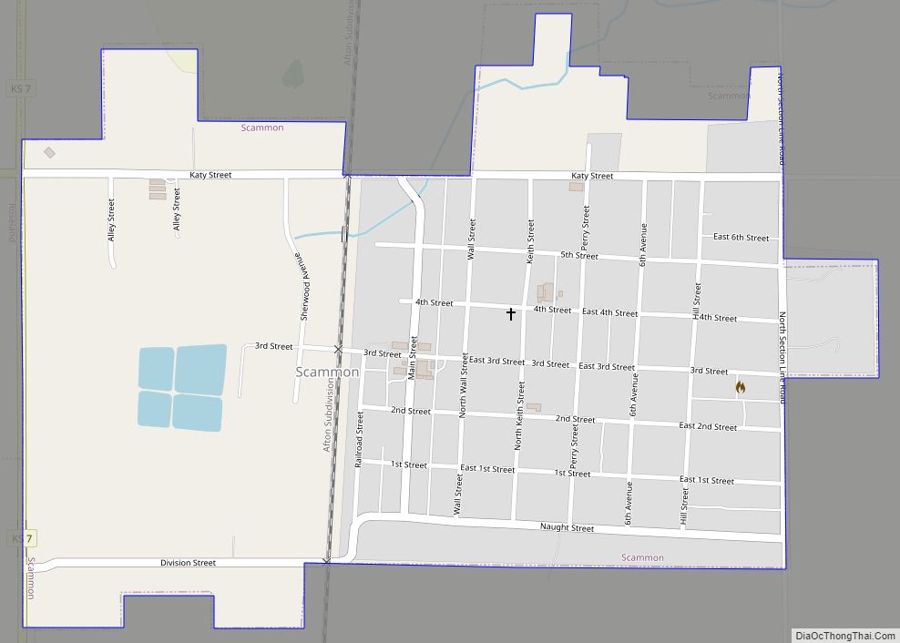
Scammon is a city in Cherokee County, Kansas, United States. As of the 2020 census, the population of the city was 376.
| Name: | Scammon city |
|---|---|
| LSAD Code: | 25 |
| LSAD Description: | city (suffix) |
| State: | Kansas |
| County: | Cherokee County |
| Founded: | 1884 |
| Incorporated: | 1888 |
| Elevation: | 902 ft (275 m) |
| Total Area: | 0.63 sq mi (1.63 km²) |
| Land Area: | 0.63 sq mi (1.62 km²) |
| Water Area: | 0.00 sq mi (0.01 km²) |
| Total Population: | 376 |
| Population Density: | 600/sq mi (230/km²) |
| ZIP code: | 66773 |
| Area code: | 620 |
| FIPS code: | 2063325 |
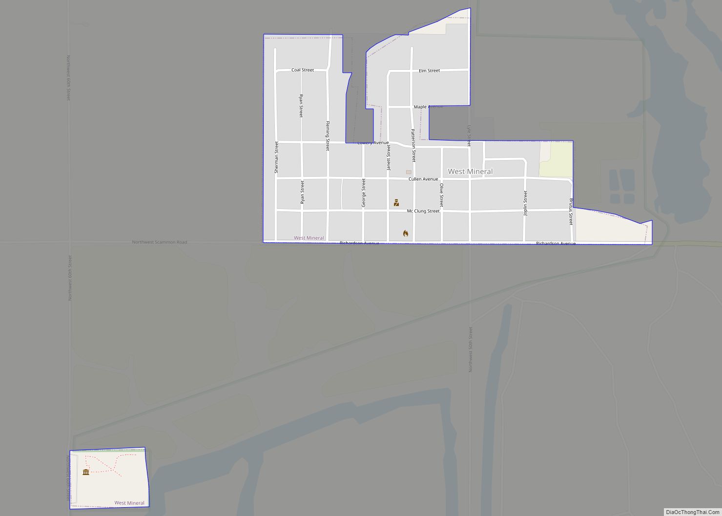
Online Interactive Map
Click on ![]() to view map in "full screen" mode.
to view map in "full screen" mode.
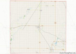
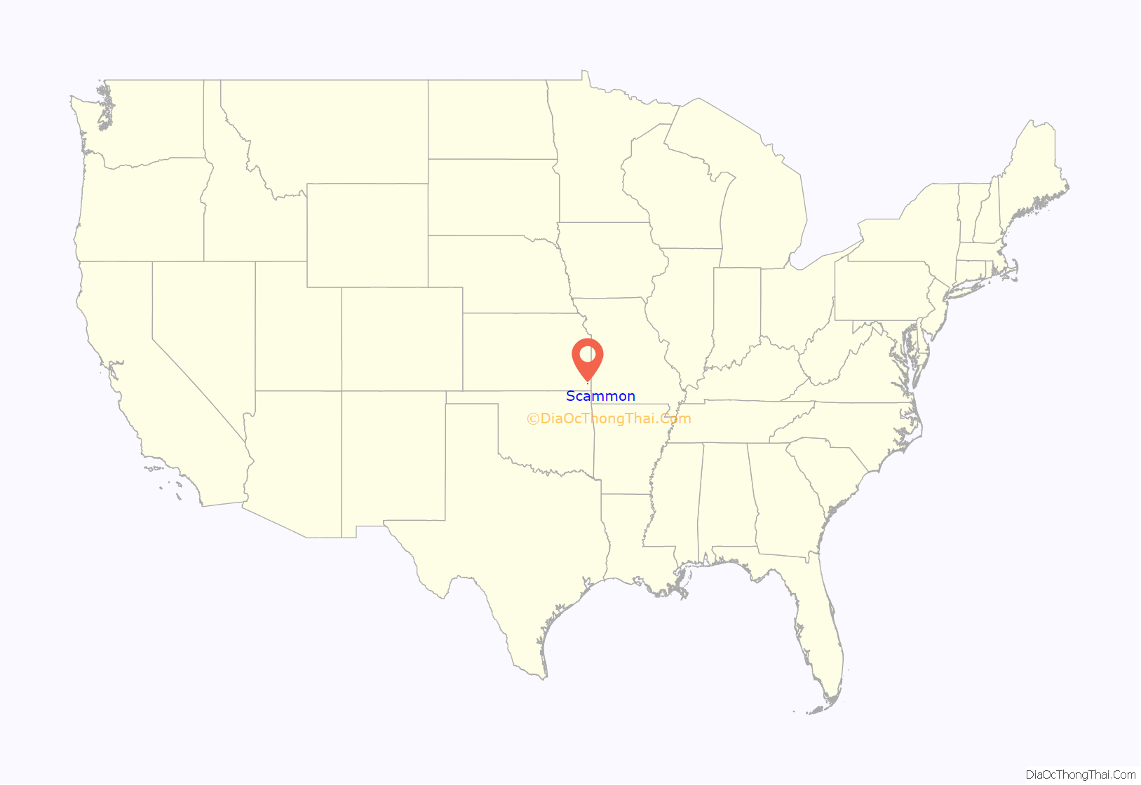
Scammon location map. Where is Scammon city?
History
Scammon was laid out in 1884. It was named for the four Scammon brothers, who operated the first mine there. David Mackie (1836–1910) was a founder and builder of Scammon, and the first President of the Scammon State Bank. The community was known as Stilson when it was first settled. The town was known as Scammonville for a short time before adopting the current name.
The first post office at Scammonville, established in 1879, was renamed Scammon in 1890.
The local railroad history group Heart of the Heartlands, based in Scammon and nearby unincorporated Carona, has restored the old Carona depot as a museum.
Scammon Road Map
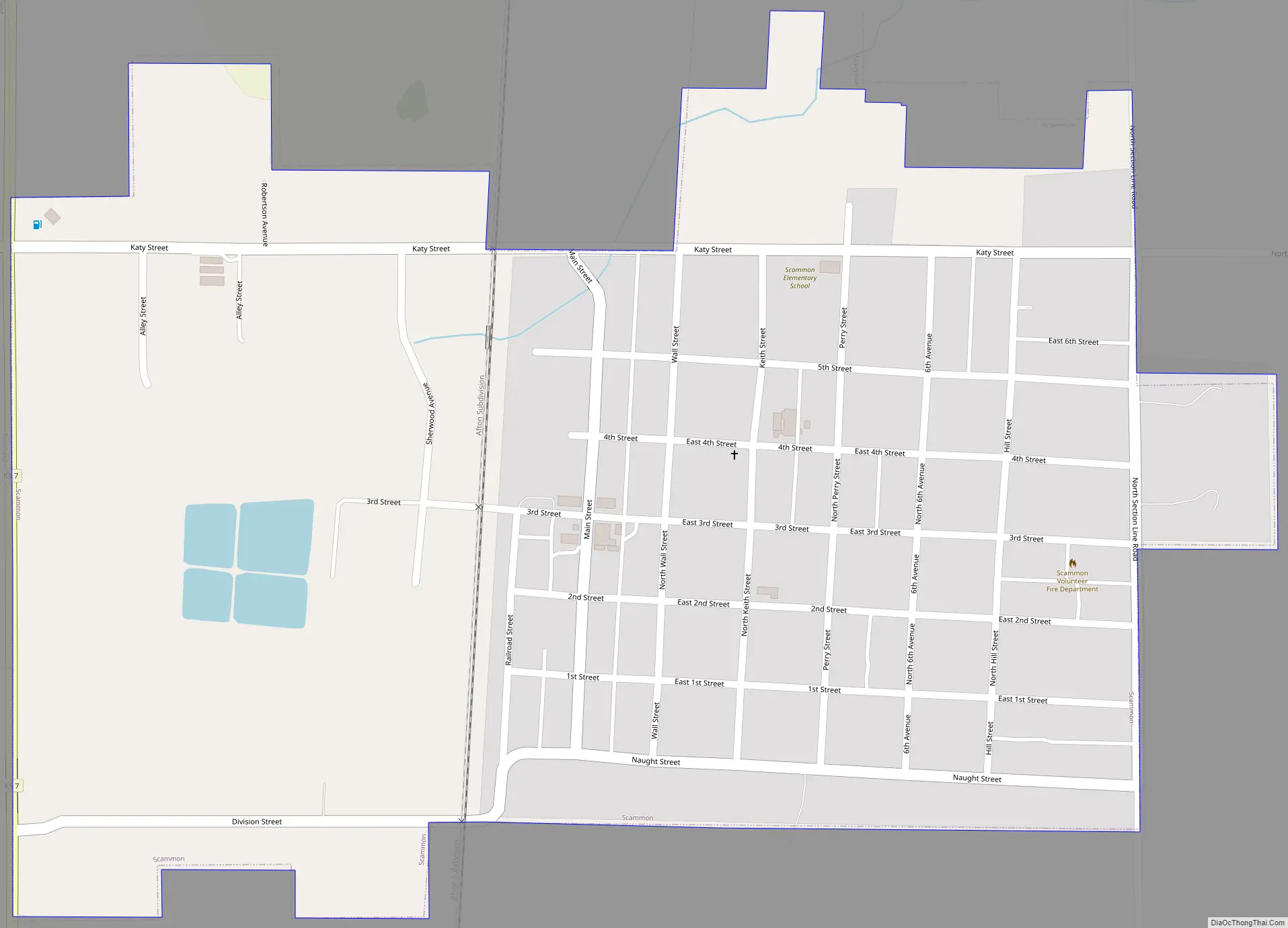
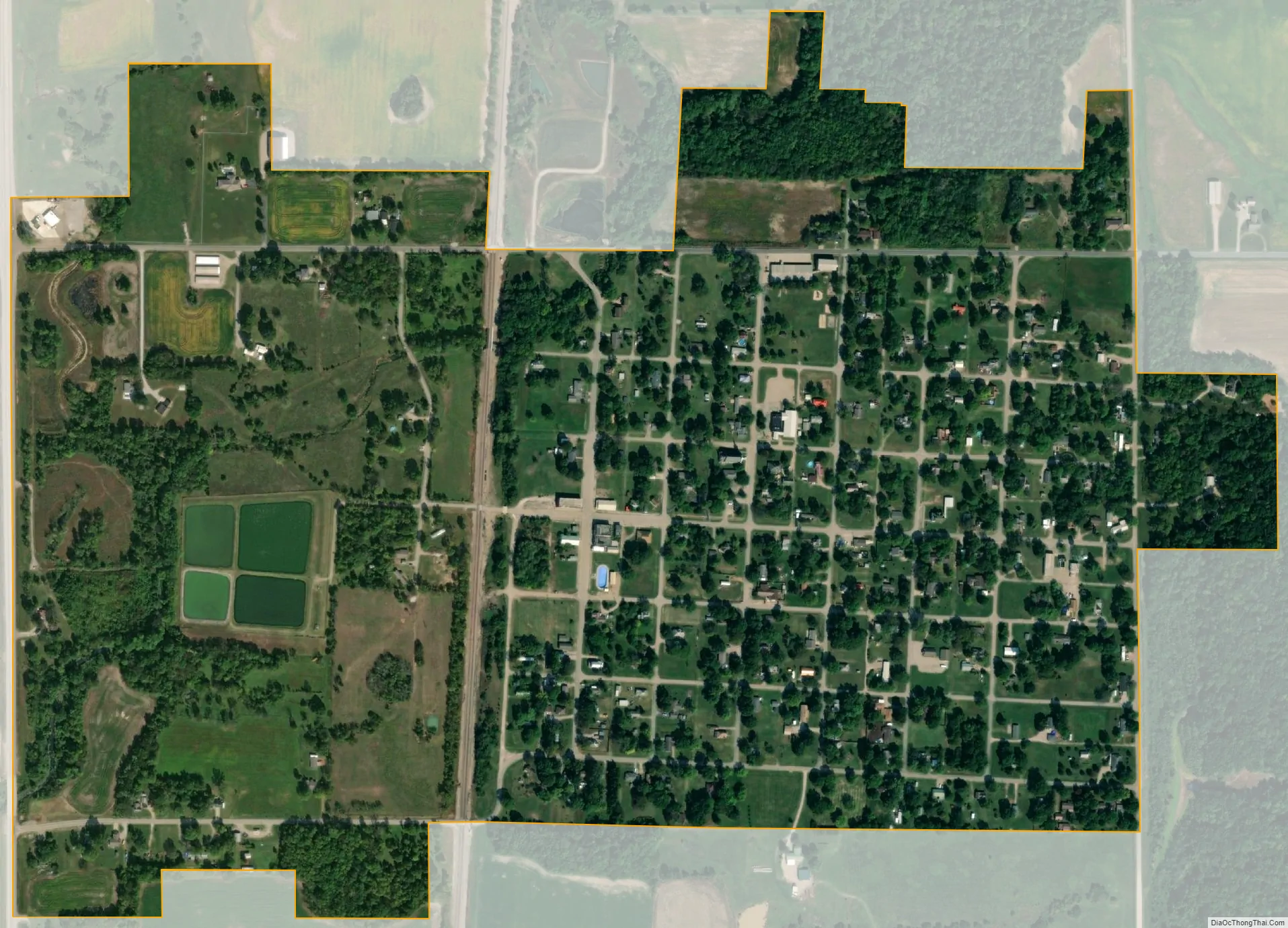
Scammon city Satellite Map
Geography
According to the United States Census Bureau, the city has a total area of 0.64 square miles (1.66 km), all of it land.
See also
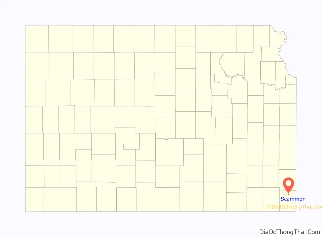
Map of Kansas State and its subdivision:- Allen
- Anderson
- Atchison
- Barber
- Barton
- Bourbon
- Brown
- Butler
- Chase
- Chautauqua
- Cherokee
- Cheyenne
- Clark
- Clay
- Cloud
- Coffey
- Comanche
- Cowley
- Crawford
- Decatur
- Dickinson
- Doniphan
- Douglas
- Edwards
- Elk
- Ellis
- Ellsworth
- Finney
- Ford
- Franklin
- Geary
- Gove
- Graham
- Grant
- Gray
- Greeley
- Greenwood
- Hamilton
- Harper
- Harvey
- Haskell
- Hodgeman
- Jackson
- Jefferson
- Jewell
- Johnson
- Kearny
- Kingman
- Kiowa
- Labette
- Lane
- Leavenworth
- Lincoln
- Linn
- Logan
- Lyon
- Marion
- Marshall
- McPherson
- Meade
- Miami
- Mitchell
- Montgomery
- Morris
- Morton
- Nemaha
- Neosho
- Ness
- Norton
- Osage
- Osborne
- Ottawa
- Pawnee
- Phillips
- Pottawatomie
- Pratt
- Rawlins
- Reno
- Republic
- Rice
- Riley
- Rooks
- Rush
- Russell
- Saline
- Scott
- Sedgwick
- Seward
- Shawnee
- Sheridan
- Sherman
- Smith
- Stafford
- Stanton
- Stevens
- Sumner
- Thomas
- Trego
- Wabaunsee
- Wallace
- Washington
- Wichita
- Wilson
- Woodson
- Wyandotte
- Alabama
- Alaska
- Arizona
- Arkansas
- California
- Colorado
- Connecticut
- Delaware
- District of Columbia
- Florida
- Georgia
- Hawaii
- Idaho
- Illinois
- Indiana
- Iowa
- Kansas
- Kentucky
- Louisiana
- Maine
- Maryland
- Massachusetts
- Michigan
- Minnesota
- Mississippi
- Missouri
- Montana
- Nebraska
- Nevada
- New Hampshire
- New Jersey
- New Mexico
- New York
- North Carolina
- North Dakota
- Ohio
- Oklahoma
- Oregon
- Pennsylvania
- Rhode Island
- South Carolina
- South Dakota
- Tennessee
- Texas
- Utah
- Vermont
- Virginia
- Washington
- West Virginia
- Wisconsin
- Wyoming