Smith Center is a city in and the county seat of Smith County, Kansas, United States. As of the 2020 census, the population of the city was 1,571.
| Name: | Smith Center city |
|---|---|
| LSAD Code: | 25 |
| LSAD Description: | city (suffix) |
| State: | Kansas |
| County: | Smith County |
| Founded: | 1871 |
| Incorporated: | 1886 |
| Elevation: | 1,788 ft (545 m) |
| Total Area: | 1.28 sq mi (3.33 km²) |
| Land Area: | 1.28 sq mi (3.33 km²) |
| Water Area: | 0.00 sq mi (0.00 km²) |
| Total Population: | 1,571 |
| Population Density: | 1,200/sq mi (470/km²) |
| ZIP code: | 66967 |
| Area code: | 785 |
| FIPS code: | 2065925 |
| Website: | smithcenterks.com |
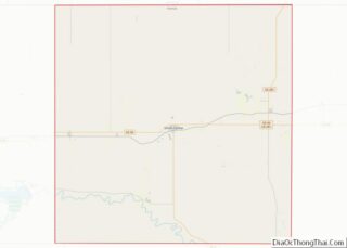
Online Interactive Map
Click on ![]() to view map in "full screen" mode.
to view map in "full screen" mode.
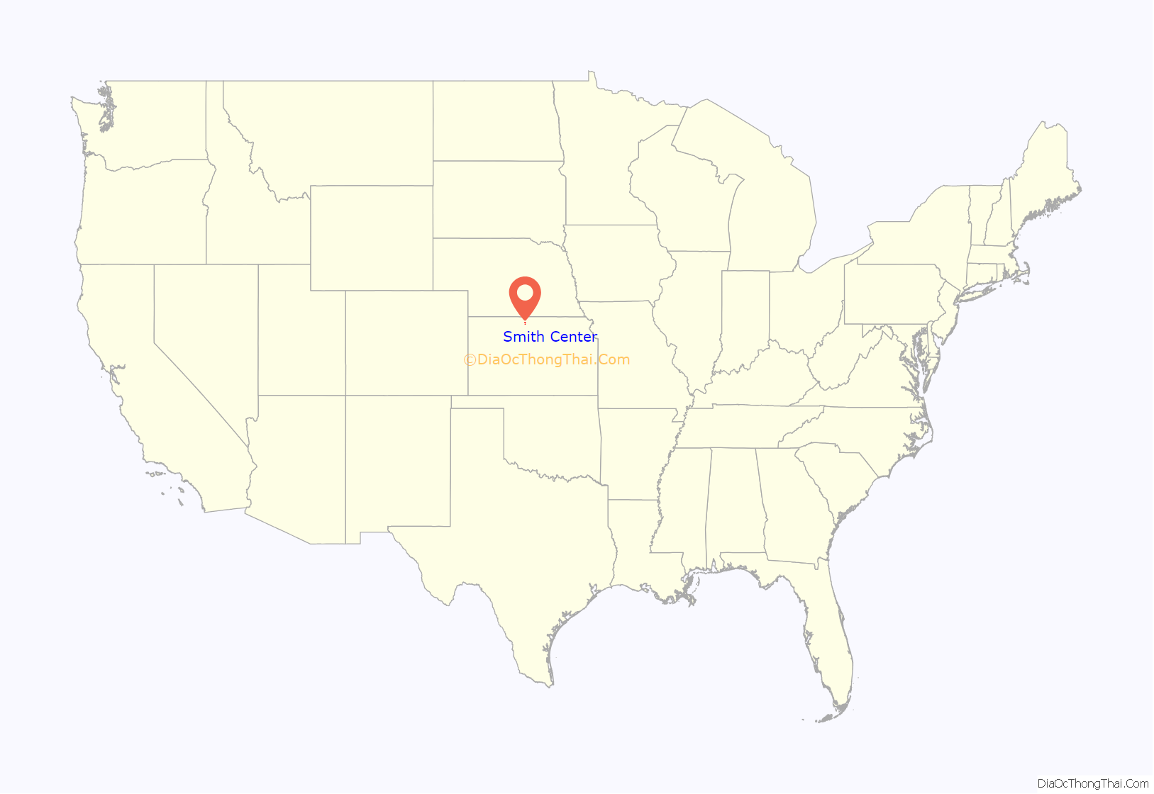
Smith Center location map. Where is Smith Center city?
History
Smith Center was founded in 1871. The first post office in Smith Center was established in January 1873. Like Smith County, Smith Center was named for Maj. J. Nelson Smith of the 2nd Colorado Cavalry, a pre-war native of Elwood, Kansas, who died leading his regiment on October 21, 1864 at the Battle of the Little Blue River.
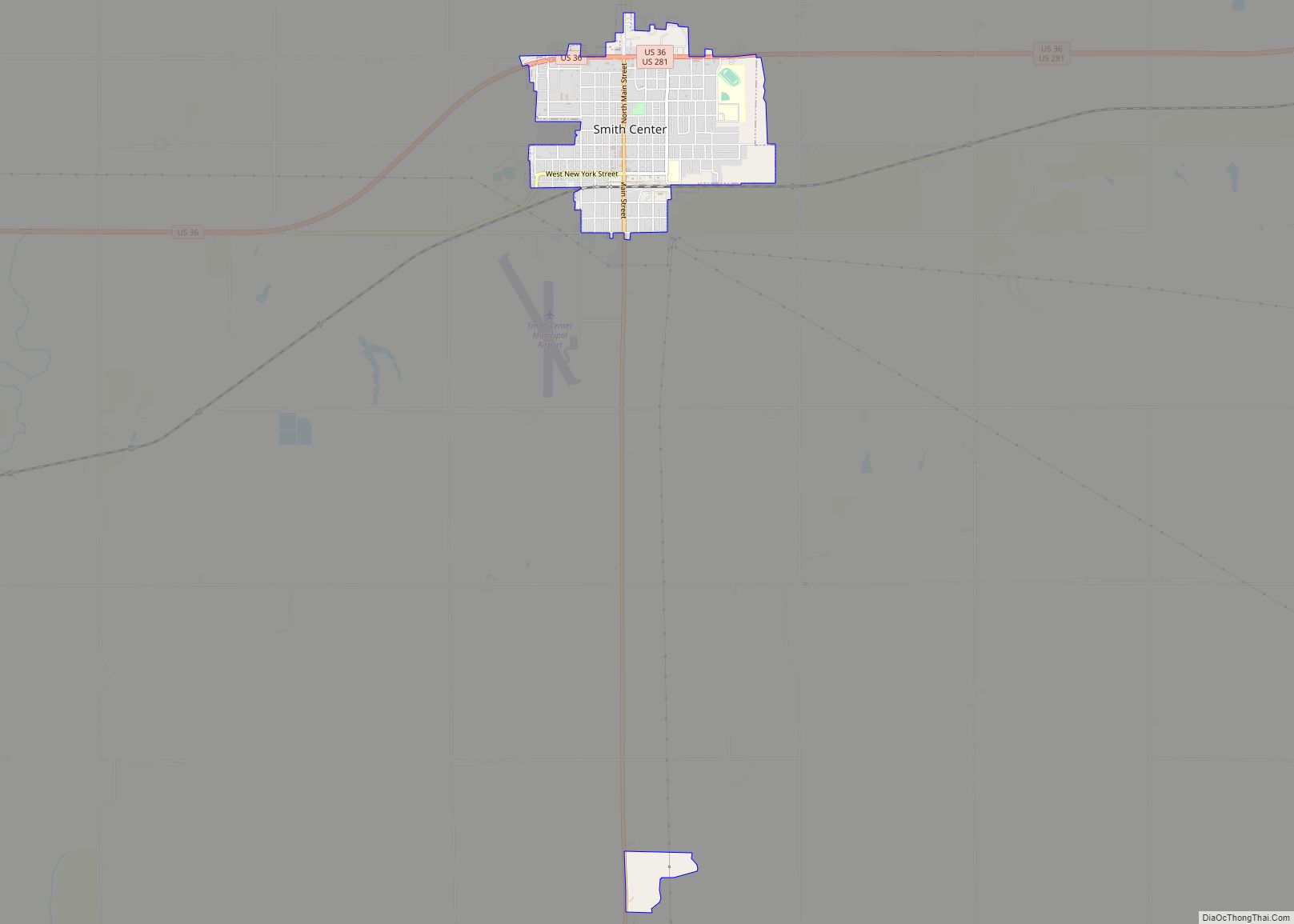
Smith Center Road Map
Smith Center city Satellite Map
Geography
Smith Center is located at 39°46′43″N 98°47′7″W / 39.77861°N 98.78528°W / 39.77861; -98.78528 (39.778550, -98.785141). According to the United States Census Bureau, the city has a total area of 1.24 square miles (3.21 km), all land.
Smith Center is located at the junction of U.S. Routes 281 and 36, approximately 100 miles south of Grand Island, Nebraska and 77 miles north of Russell and Interstate 70.
Climate
See also
Map of Kansas State and its subdivision:- Allen
- Anderson
- Atchison
- Barber
- Barton
- Bourbon
- Brown
- Butler
- Chase
- Chautauqua
- Cherokee
- Cheyenne
- Clark
- Clay
- Cloud
- Coffey
- Comanche
- Cowley
- Crawford
- Decatur
- Dickinson
- Doniphan
- Douglas
- Edwards
- Elk
- Ellis
- Ellsworth
- Finney
- Ford
- Franklin
- Geary
- Gove
- Graham
- Grant
- Gray
- Greeley
- Greenwood
- Hamilton
- Harper
- Harvey
- Haskell
- Hodgeman
- Jackson
- Jefferson
- Jewell
- Johnson
- Kearny
- Kingman
- Kiowa
- Labette
- Lane
- Leavenworth
- Lincoln
- Linn
- Logan
- Lyon
- Marion
- Marshall
- McPherson
- Meade
- Miami
- Mitchell
- Montgomery
- Morris
- Morton
- Nemaha
- Neosho
- Ness
- Norton
- Osage
- Osborne
- Ottawa
- Pawnee
- Phillips
- Pottawatomie
- Pratt
- Rawlins
- Reno
- Republic
- Rice
- Riley
- Rooks
- Rush
- Russell
- Saline
- Scott
- Sedgwick
- Seward
- Shawnee
- Sheridan
- Sherman
- Smith
- Stafford
- Stanton
- Stevens
- Sumner
- Thomas
- Trego
- Wabaunsee
- Wallace
- Washington
- Wichita
- Wilson
- Woodson
- Wyandotte
- Alabama
- Alaska
- Arizona
- Arkansas
- California
- Colorado
- Connecticut
- Delaware
- District of Columbia
- Florida
- Georgia
- Hawaii
- Idaho
- Illinois
- Indiana
- Iowa
- Kansas
- Kentucky
- Louisiana
- Maine
- Maryland
- Massachusetts
- Michigan
- Minnesota
- Mississippi
- Missouri
- Montana
- Nebraska
- Nevada
- New Hampshire
- New Jersey
- New Mexico
- New York
- North Carolina
- North Dakota
- Ohio
- Oklahoma
- Oregon
- Pennsylvania
- Rhode Island
- South Carolina
- South Dakota
- Tennessee
- Texas
- Utah
- Vermont
- Virginia
- Washington
- West Virginia
- Wisconsin
- Wyoming
