Walton is a city in Harvey County, Kansas, United States. It is named in honor of one of the 19th century stockholders of Atchison, Topeka and Santa Fe Railway. As of the 2020 census, the population of the city was 219.
| Name: | Walton city |
|---|---|
| LSAD Code: | 25 |
| LSAD Description: | city (suffix) |
| State: | Kansas |
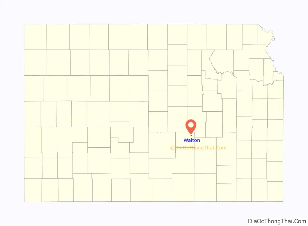
| County: | Harvey County |
| Founded: | 1871 |
| Incorporated: | 1886 |
| Elevation: | 1,536 ft (468 m) |
| Total Area: | 0.31 sq mi (0.81 km²) |
| Land Area: | 0.31 sq mi (0.81 km²) |
| Water Area: | 0.00 sq mi (0.00 km²) |
| Total Population: | 219 |
| Population Density: | 710/sq mi (270/km²) |
| ZIP code: | 67151 |
| Area code: | 620 |
| FIPS code: | 2075200 |
| Website: | waltonkansas.com |
Online Interactive Map
Click on ![]() to view map in "full screen" mode.
to view map in "full screen" mode.
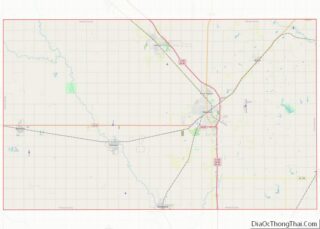
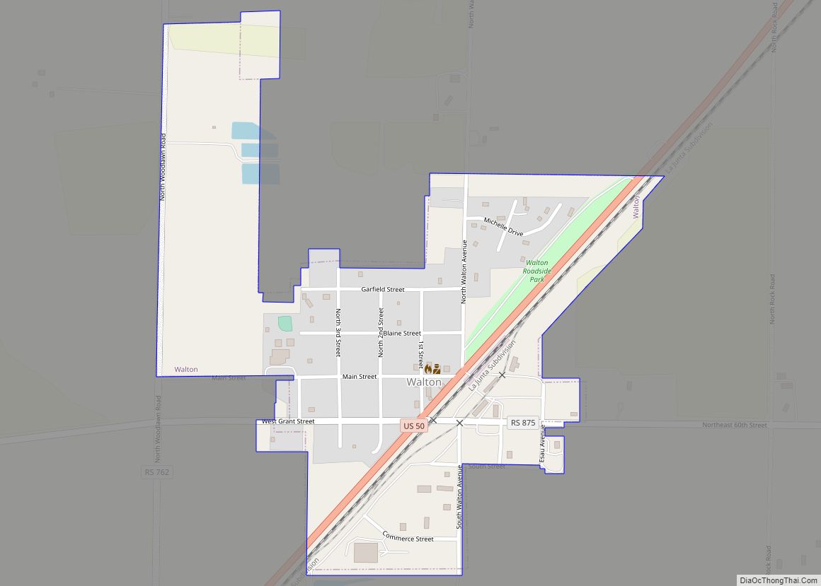
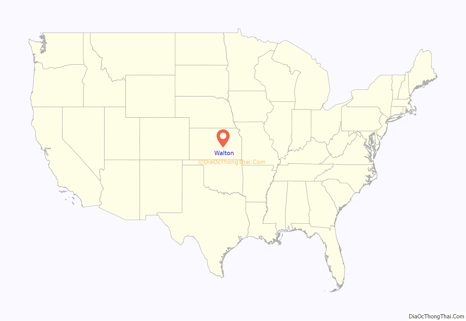
Walton location map. Where is Walton city?
History
Early history
For many millennia, the Great Plains of North America was inhabited by nomadic Native Americans. From the 16th century to 18th century, the Kingdom of France claimed ownership of large parts of North America. In 1762, after the French and Indian War, France secretly ceded New France to Spain, per the Treaty of Fontainebleau.
19th century
In 1802, Spain returned most of the land to France. In 1803, most of the land for modern day Kansas was acquired by the United States from France as part of the 828,000 square mile Louisiana Purchase for 2.83 cents per acre.
In 1854, the Kansas Territory was organized, then in 1861, Kansas became the 34th U.S. state. In 1872, Harvey County was established within the Kansas Territory, which included the land for modern day Walton.
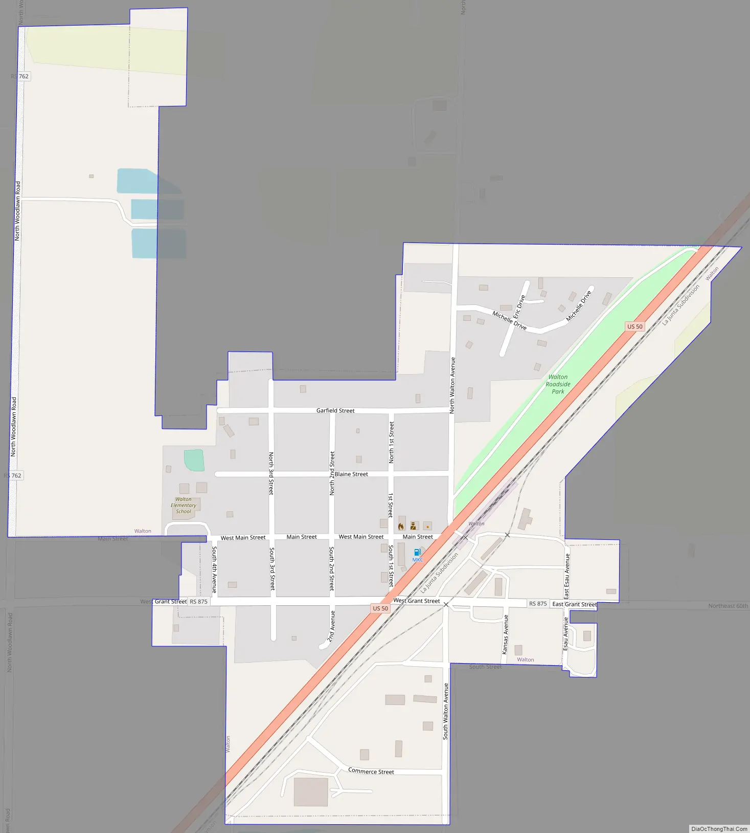
In 1871, the Atchison, Topeka and Santa Fe Railway extended a main line from Emporia through Walton to Newton, reaching Walton and Newton in July. In 1996, it merged with Burlington Northern Railroad and renamed to the current BNSF Railway. Most locals still refer to this railroad as the “Santa Fe”.
Walton was laid out as a town site in December 1871 by William Mathews. He built a home, and this was followed by a general store and railroad section house. Because of difficulty in perfecting title to the lots, the town-site remained dormant until it was sold to J.F. Watson and he filed a plat of the town in 1876. In 1871, a Kansas one room school, measuring 18 x 20 feet, was built and the first school was held by Mrs. M. J. Sharron. A post office was established in Walton on December 28, 1871, Mrs. E. Peck as Postmistress.
20th century
The New Santa Fe Trail road was routed through Walton in the late 1910s. Initially, the road entered the north side of the city on Walton Ave. The trail became U.S. Route 50 in the late 1930s, when the new highway was routed northeast to southwest parallel to the railroad.
Walton Road Map
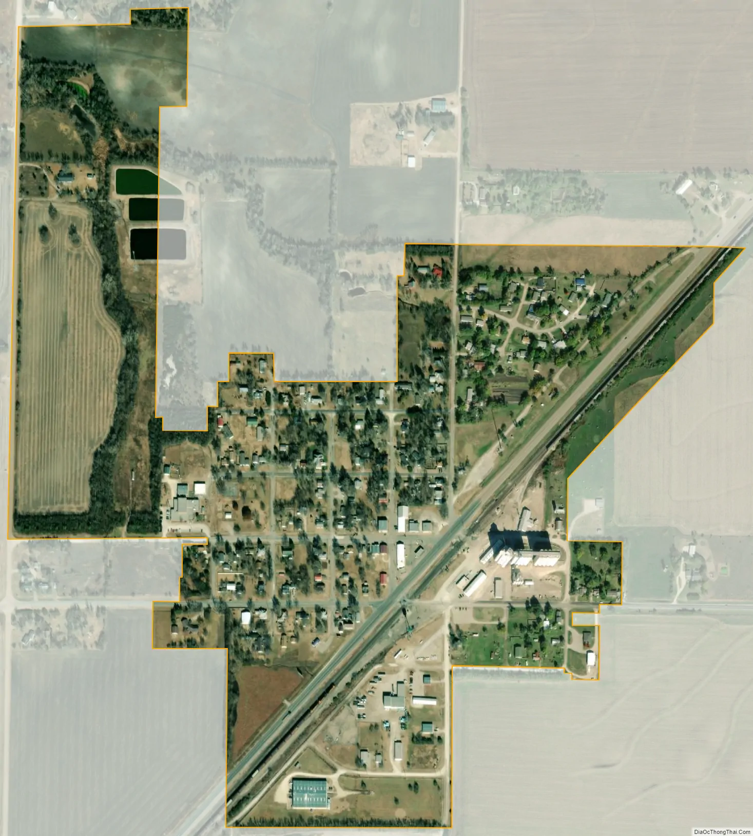
Walton city Satellite Map
Geography
Walton is located at coordinates 38.1177891, -97.2567001 in the Great Plains of the state of Kansas. It is near the dividing line between Cottonwood and Arkansas River basins and near the highest ground in Harvey County. According to the United States Census Bureau, the city has a total area of 0.36 square miles (0.93 km), all of it land.
See also
Map of Kansas State and its subdivision:- Allen
- Anderson
- Atchison
- Barber
- Barton
- Bourbon
- Brown
- Butler
- Chase
- Chautauqua
- Cherokee
- Cheyenne
- Clark
- Clay
- Cloud
- Coffey
- Comanche
- Cowley
- Crawford
- Decatur
- Dickinson
- Doniphan
- Douglas
- Edwards
- Elk
- Ellis
- Ellsworth
- Finney
- Ford
- Franklin
- Geary
- Gove
- Graham
- Grant
- Gray
- Greeley
- Greenwood
- Hamilton
- Harper
- Harvey
- Haskell
- Hodgeman
- Jackson
- Jefferson
- Jewell
- Johnson
- Kearny
- Kingman
- Kiowa
- Labette
- Lane
- Leavenworth
- Lincoln
- Linn
- Logan
- Lyon
- Marion
- Marshall
- McPherson
- Meade
- Miami
- Mitchell
- Montgomery
- Morris
- Morton
- Nemaha
- Neosho
- Ness
- Norton
- Osage
- Osborne
- Ottawa
- Pawnee
- Phillips
- Pottawatomie
- Pratt
- Rawlins
- Reno
- Republic
- Rice
- Riley
- Rooks
- Rush
- Russell
- Saline
- Scott
- Sedgwick
- Seward
- Shawnee
- Sheridan
- Sherman
- Smith
- Stafford
- Stanton
- Stevens
- Sumner
- Thomas
- Trego
- Wabaunsee
- Wallace
- Washington
- Wichita
- Wilson
- Woodson
- Wyandotte
- Alabama
- Alaska
- Arizona
- Arkansas
- California
- Colorado
- Connecticut
- Delaware
- District of Columbia
- Florida
- Georgia
- Hawaii
- Idaho
- Illinois
- Indiana
- Iowa
- Kansas
- Kentucky
- Louisiana
- Maine
- Maryland
- Massachusetts
- Michigan
- Minnesota
- Mississippi
- Missouri
- Montana
- Nebraska
- Nevada
- New Hampshire
- New Jersey
- New Mexico
- New York
- North Carolina
- North Dakota
- Ohio
- Oklahoma
- Oregon
- Pennsylvania
- Rhode Island
- South Carolina
- South Dakota
- Tennessee
- Texas
- Utah
- Vermont
- Virginia
- Washington
- West Virginia
- Wisconsin
- Wyoming