Huntington Woods is a city in Oakland County, Michigan in the U.S. state of Michigan. It is a northern suburb of Metro Detroit. The population was 6,238 at the 2010 census.
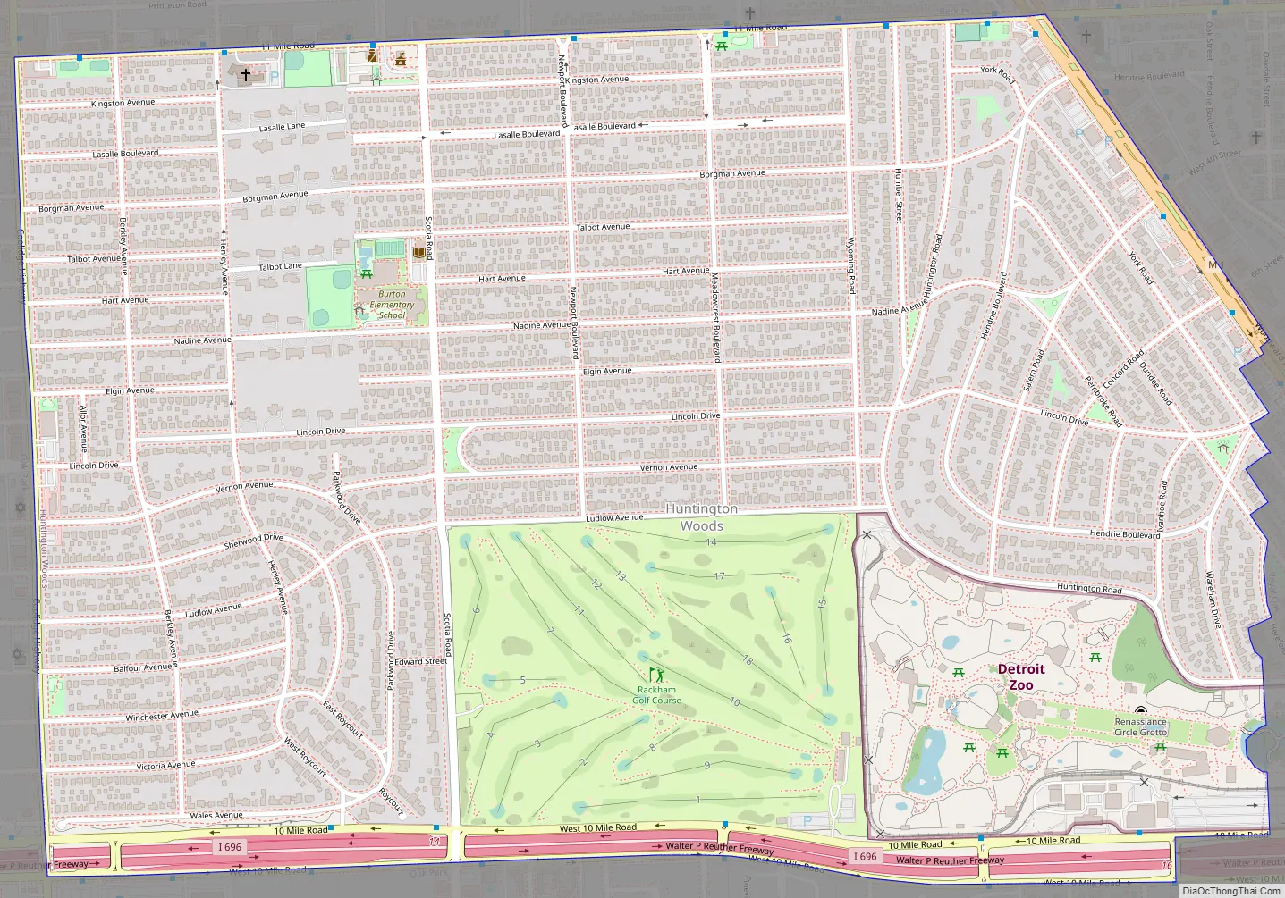
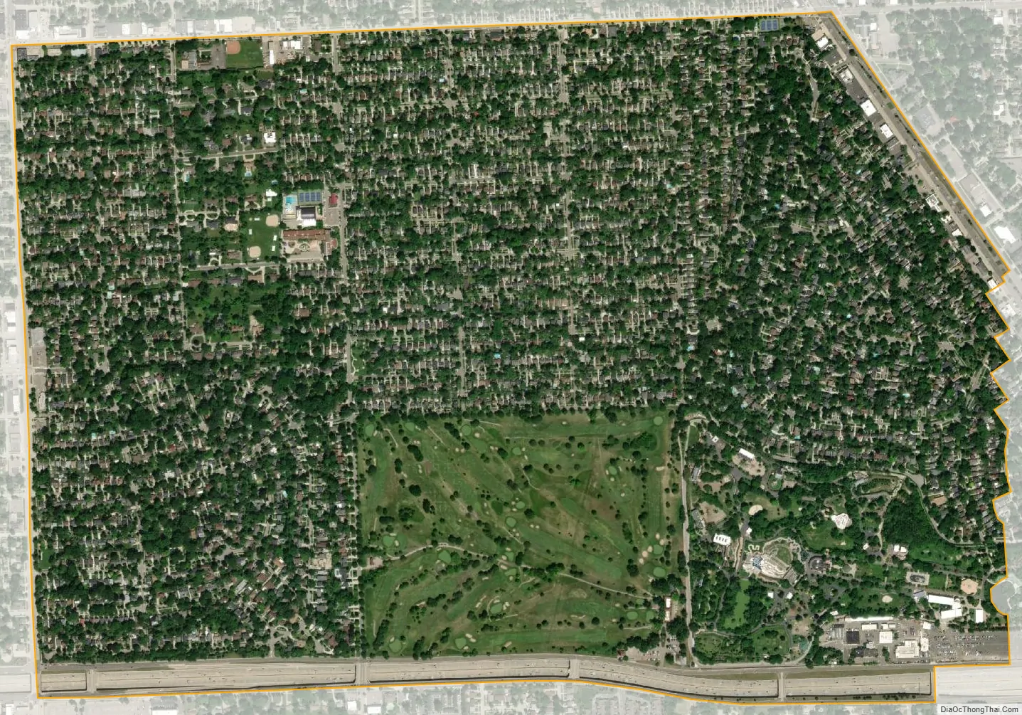
Huntington Woods is situated along the Woodward Corridor (M-1) and is bounded by Ten and Eleven Mile Roads to the north and south and by Woodward and Coolidge Highway to the east and west. The city is widely known as the “City of Homes”, as it consists mostly of residences. Rackham Golf Course is located along the southern end of the city. The western portion of the Detroit Zoo is located within the city limits and is a contributor to its tax base.
| Name: | Huntington Woods city |
|---|---|
| LSAD Code: | 25 |
| LSAD Description: | city (suffix) |
| State: | Michigan |
| County: | Oakland County |
| Incorporated: | 1926 (village) 1932 (city) |
| Elevation: | 663 ft (202 m) |
| Land Area: | 1.49 sq mi (3.86 km²) |
| Water Area: | 0.00 sq mi (0.00 km²) |
| Population Density: | 4,290.13/sq mi (1,656.18/km²) |
| Area code: | 248 |
| FIPS code: | 2640000 |
| GNISfeature ID: | 0628842 |
Online Interactive Map
Click on ![]() to view map in "full screen" mode.
to view map in "full screen" mode.
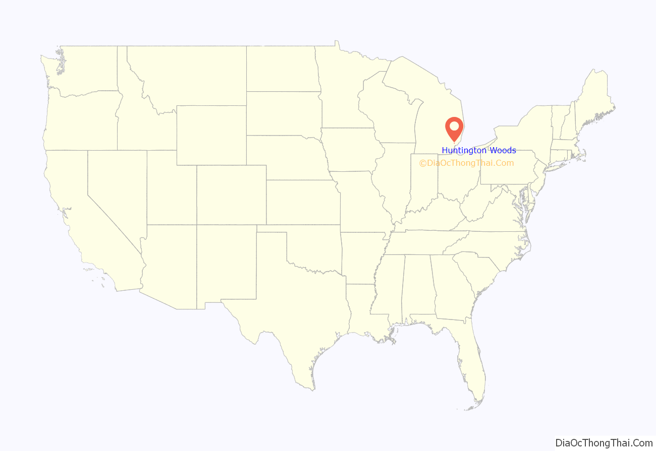
Huntington Woods location map. Where is Huntington Woods city?
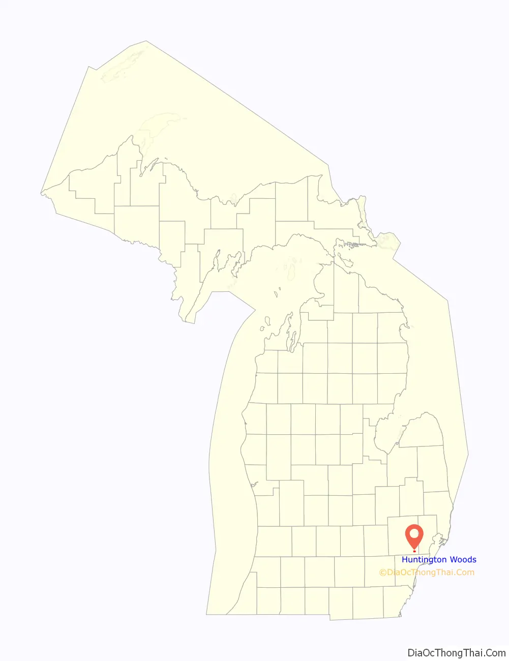
Huntington Woods Road Map
Huntington Woods city Satellite Map
Geography
According to the United States Census Bureau, the city has a total area of 1.47 square miles (3.81 km), all land. Rackham Golf Course, owned by the city of Detroit, makes up 20% (0.3 square miles) of the total area of the city.
Huntington Woods is adjacent to the cities of Pleasant Ridge to the southeast, Oak Park to the south and west, Royal Oak to the east, and Berkley to the north.
Huntington Woods is bordered to the south by 10 Mile Road/I-696, to the west by Coolidge Highway, to the east by Woodward Avenue (M-1), Hendrie Boulevard, York Road, Dundee Road, and Hereford Road, and to the north by 11 Mile Road.
See also
Map of Michigan State and its subdivision:- Alcona
- Alger
- Allegan
- Alpena
- Antrim
- Arenac
- Baraga
- Barry
- Bay
- Benzie
- Berrien
- Branch
- Calhoun
- Cass
- Charlevoix
- Cheboygan
- Chippewa
- Clare
- Clinton
- Crawford
- Delta
- Dickinson
- Eaton
- Emmet
- Genesee
- Gladwin
- Gogebic
- Grand Traverse
- Gratiot
- Hillsdale
- Houghton
- Huron
- Ingham
- Ionia
- Iosco
- Iron
- Isabella
- Jackson
- Kalamazoo
- Kalkaska
- Kent
- Keweenaw
- Lake
- Lake Hurron
- Lake Michigan
- Lake St. Clair
- Lake Superior
- Lapeer
- Leelanau
- Lenawee
- Livingston
- Luce
- Mackinac
- Macomb
- Manistee
- Marquette
- Mason
- Mecosta
- Menominee
- Midland
- Missaukee
- Monroe
- Montcalm
- Montmorency
- Muskegon
- Newaygo
- Oakland
- Oceana
- Ogemaw
- Ontonagon
- Osceola
- Oscoda
- Otsego
- Ottawa
- Presque Isle
- Roscommon
- Saginaw
- Saint Clair
- Saint Joseph
- Sanilac
- Schoolcraft
- Shiawassee
- Tuscola
- Van Buren
- Washtenaw
- Wayne
- Wexford
- Alabama
- Alaska
- Arizona
- Arkansas
- California
- Colorado
- Connecticut
- Delaware
- District of Columbia
- Florida
- Georgia
- Hawaii
- Idaho
- Illinois
- Indiana
- Iowa
- Kansas
- Kentucky
- Louisiana
- Maine
- Maryland
- Massachusetts
- Michigan
- Minnesota
- Mississippi
- Missouri
- Montana
- Nebraska
- Nevada
- New Hampshire
- New Jersey
- New Mexico
- New York
- North Carolina
- North Dakota
- Ohio
- Oklahoma
- Oregon
- Pennsylvania
- Rhode Island
- South Carolina
- South Dakota
- Tennessee
- Texas
- Utah
- Vermont
- Virginia
- Washington
- West Virginia
- Wisconsin
- Wyoming


