Berkley is a city in Oakland County in the U.S. state of Michigan. It is a northern suburb of Detroit located along the Woodward Corridor (M-1) in southeastern Oakland County. The population was 15,194 as of the 2020 Census.
| Name: | Berkley city |
|---|---|
| LSAD Code: | 25 |
| LSAD Description: | city (suffix) |
| State: | Michigan |
| County: | Oakland County |
| Incorporated: | 1923 (village) 1932 (city) |
| Elevation: | 686 ft (209 m) |
| Land Area: | 2.62 sq mi (6.77 km²) |
| Water Area: | 0.00 sq mi (0.00 km²) |
| Population Density: | 5,810.33/sq mi (2,243.47/km²) |
| Area code: | 248 |
| FIPS code: | 2607660 |
| GNISfeature ID: | 0621157 |
Online Interactive Map
Click on ![]() to view map in "full screen" mode.
to view map in "full screen" mode.
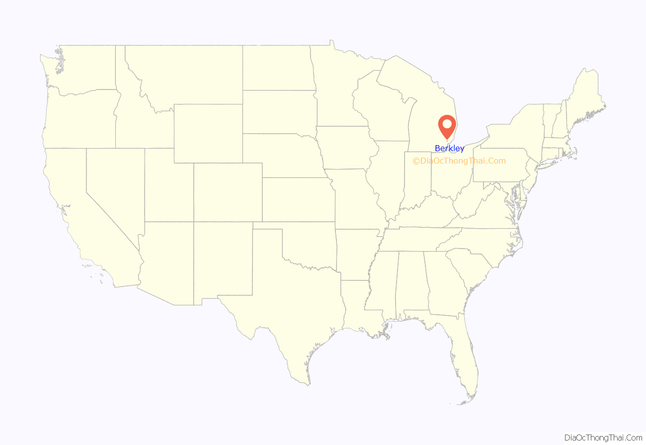
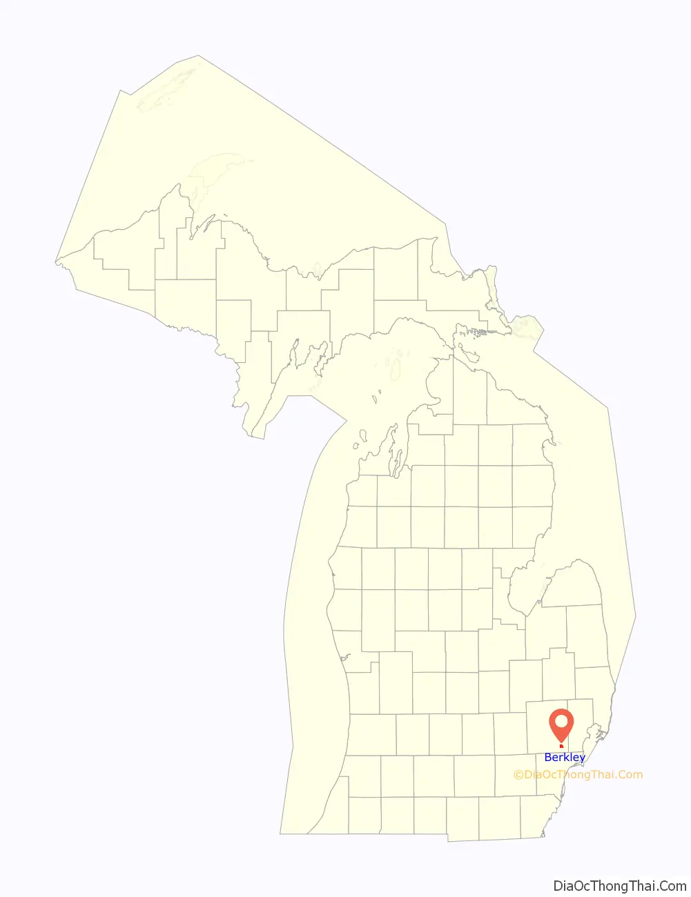
Berkley location map. Where is Berkley city?
History
Prior to settlement, the land which would become Berkley consisted largely of dense forests and some isolated pockets of swampland. Many in the region deemed the areas north and west of Detroit as uninhabitable or impassible due to the harshness of the swamps beyond Detroit, but as adventurers pushed out through the interminable swamp, they found beautiful scenery beyond the wet prairie of Northern Wayne County. As it became well known that there was “fine farming country” to the north and west of Detroit, great excitement was raised and people began to flock to what was then all known as Royal Oak. Land in what would later become Berkley began being sold to farmers who cut down forests and otherwise prepared the land for farming. By the 1840s, Berkley contained a great number of dairy farms. The 1910s brought significant growth to the area with the completion of the Highland Park Ford Plant. As farms were sold and turned into subdivisions, there was pressure to formally incorporate the land. In 1923, Berkley was incorporated as a village. At the time, Elmer Cromie had named the road that ran through his farm Berkley and the “Berkley School” was then under construction, so the name Berkley was chosen for the village.
The Wall Street Crash of 1929 brought growth in Berkley to a halt. Roughly 90% of the 5,558 residents in Berkley lost their jobs when the market crashed. Within a year, the city’s population was dropping and in 1932 voters chose to incorporate their Village into a City to gain more oversight over taxes and other issues facing the community. In the 1940s, suburbanization and the post-war boom economy drove significant development in the area. The current Berkley High School was built in 1949. The city reached a population peak of 23,375 in 1960. In 1993, the Berkley Theater, long a symbol of moviegoers in the area, closed down and became a Rite Aid drug store.
Berkley Center
In July 1964, an enclosed shopping mall was planned to be built, stretching east to west from Coolidge Highway to Kipling Avenue, and 12 Mile Rd to Wiltshire Rd, North to South. The plan would involve buying and demolishing 114 homes and businesses. The plan eventually collapsed.
Berkley Road Map

Berkley city Satellite Map

Geography
Berkley lies within Southeastern Oakland County. It is adjacent to the cities of Huntington Woods and Oak Park to the south, Southfield to the west, and Royal Oak to the north and east.
Berkley is bordered by Woodward Avenue (M-1) on the east, Webster Road on the North, Greenfield Road on the west, and 11 Mile Road on the south. The southern border of the city is 3 miles north of the Detroit city limits, which are bounded by Eight Mile Road. Berkley is intersected by 12 Mile Road and Coolidge Highway, and though no Interstates run through the city, Interstate 75 and Interstate 696 are major thoroughfares near the city. According to the United States Census Bureau, the city has a total area of 2.62 square miles (6.79 km), all land.
See also
Map of Michigan State and its subdivision:- Alcona
- Alger
- Allegan
- Alpena
- Antrim
- Arenac
- Baraga
- Barry
- Bay
- Benzie
- Berrien
- Branch
- Calhoun
- Cass
- Charlevoix
- Cheboygan
- Chippewa
- Clare
- Clinton
- Crawford
- Delta
- Dickinson
- Eaton
- Emmet
- Genesee
- Gladwin
- Gogebic
- Grand Traverse
- Gratiot
- Hillsdale
- Houghton
- Huron
- Ingham
- Ionia
- Iosco
- Iron
- Isabella
- Jackson
- Kalamazoo
- Kalkaska
- Kent
- Keweenaw
- Lake
- Lake Hurron
- Lake Michigan
- Lake St. Clair
- Lake Superior
- Lapeer
- Leelanau
- Lenawee
- Livingston
- Luce
- Mackinac
- Macomb
- Manistee
- Marquette
- Mason
- Mecosta
- Menominee
- Midland
- Missaukee
- Monroe
- Montcalm
- Montmorency
- Muskegon
- Newaygo
- Oakland
- Oceana
- Ogemaw
- Ontonagon
- Osceola
- Oscoda
- Otsego
- Ottawa
- Presque Isle
- Roscommon
- Saginaw
- Saint Clair
- Saint Joseph
- Sanilac
- Schoolcraft
- Shiawassee
- Tuscola
- Van Buren
- Washtenaw
- Wayne
- Wexford
- Alabama
- Alaska
- Arizona
- Arkansas
- California
- Colorado
- Connecticut
- Delaware
- District of Columbia
- Florida
- Georgia
- Hawaii
- Idaho
- Illinois
- Indiana
- Iowa
- Kansas
- Kentucky
- Louisiana
- Maine
- Maryland
- Massachusetts
- Michigan
- Minnesota
- Mississippi
- Missouri
- Montana
- Nebraska
- Nevada
- New Hampshire
- New Jersey
- New Mexico
- New York
- North Carolina
- North Dakota
- Ohio
- Oklahoma
- Oregon
- Pennsylvania
- Rhode Island
- South Carolina
- South Dakota
- Tennessee
- Texas
- Utah
- Vermont
- Virginia
- Washington
- West Virginia
- Wisconsin
- Wyoming


