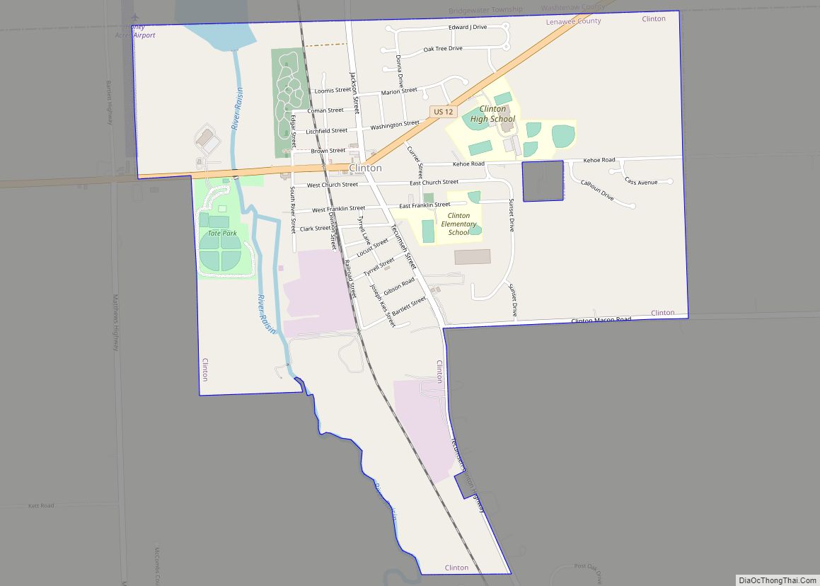
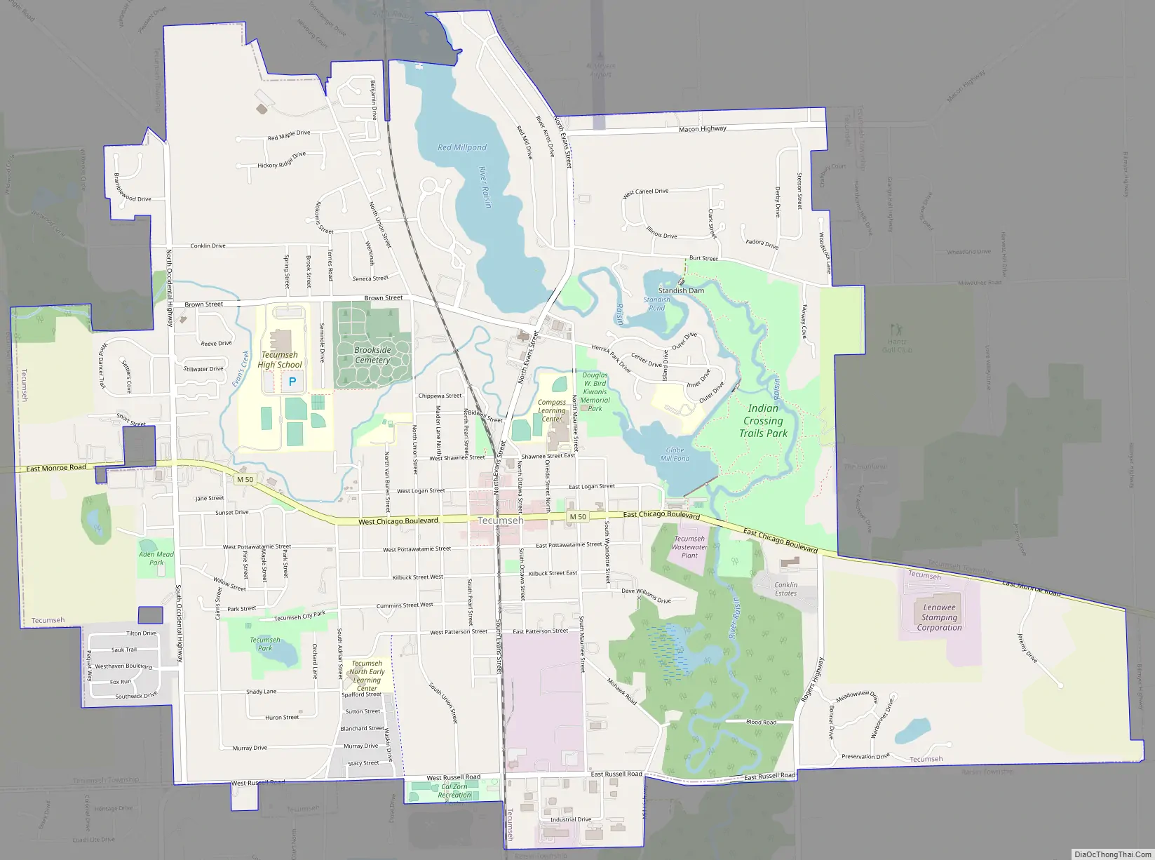
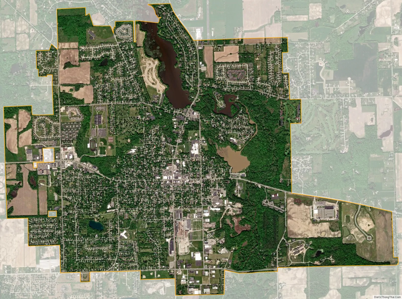
Tecumseh is a city in Lenawee County in the U.S. state of Michigan, near the River Raisin. Tecumseh is about 60 miles (97 km) southwest of Detroit, 25 miles (40 km) south of Ann Arbor, and 40 miles (64 km) north of Toledo, Ohio. The main street of downtown is Chicago Boulevard, also designated as M-50. It crosses the River Raisin a few miles east of M-52.
As of the 2010 census, the city has a population of 8,521. The city is surrounded on three sides by Tecumseh Township, but the two are politically independent. Raisin Township borders the southern edge of the city. In 2009 the city was rated by CNNMoney as #93 among the 100 best small towns to live in.
| Name: | Tecumseh city |
|---|---|
| LSAD Code: | 25 |
| LSAD Description: | city (suffix) |
| State: | Michigan |
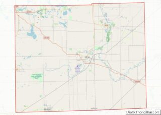
| County: | Lenawee County |
| Elevation: | 804 ft (245 m) |
| Total Area: | 5.89 sq mi (15.26 km²) |
| Land Area: | 5.65 sq mi (14.63 km²) |
| Water Area: | 0.24 sq mi (0.63 km²) |
| Total Population: | 8,680 |
| Population Density: | 1,536.56/sq mi (593.22/km²) |
| Area code: | 517 |
| FIPS code: | 2679120 |
| GNISfeature ID: | 1614652 |
| Website: | www.mytecumseh.org |
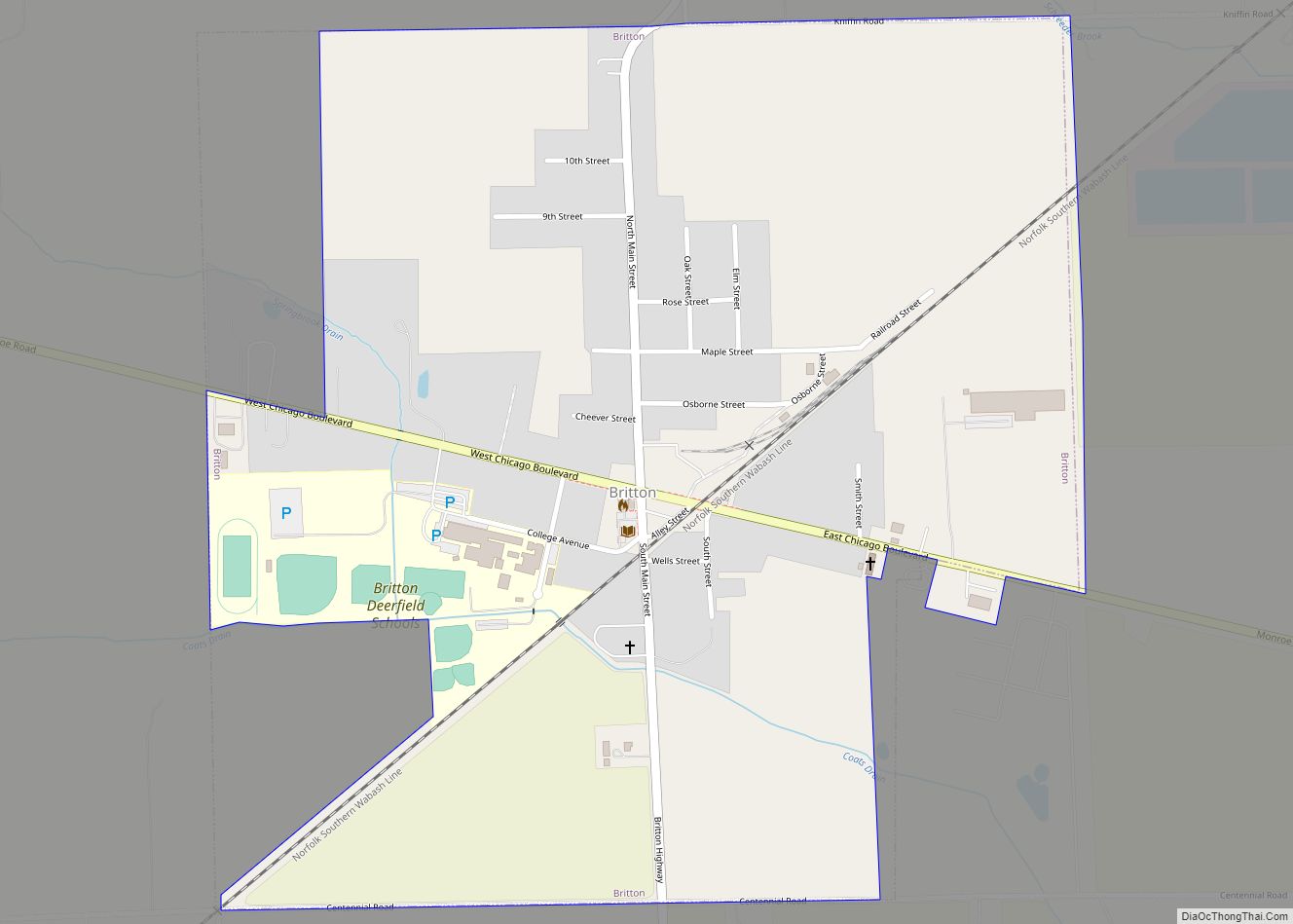
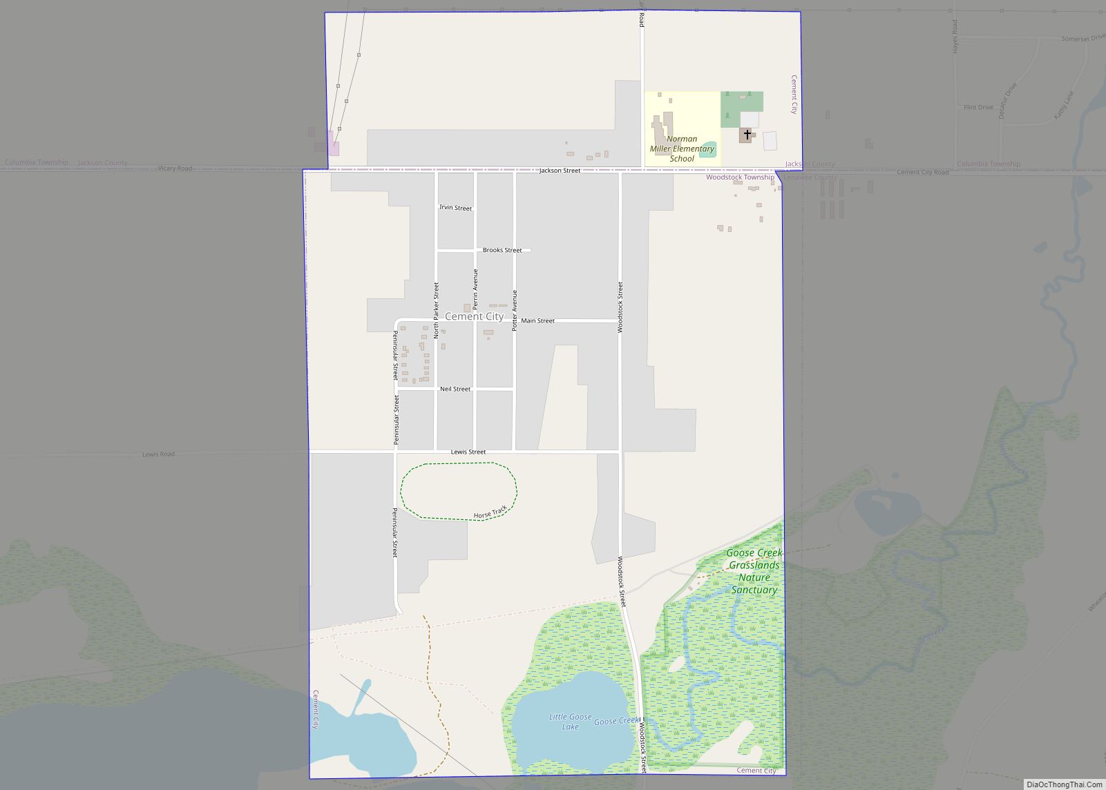
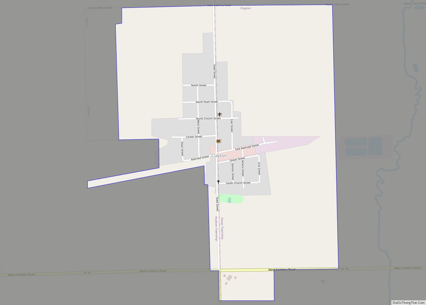
Online Interactive Map
Click on ![]() to view map in "full screen" mode.
to view map in "full screen" mode.
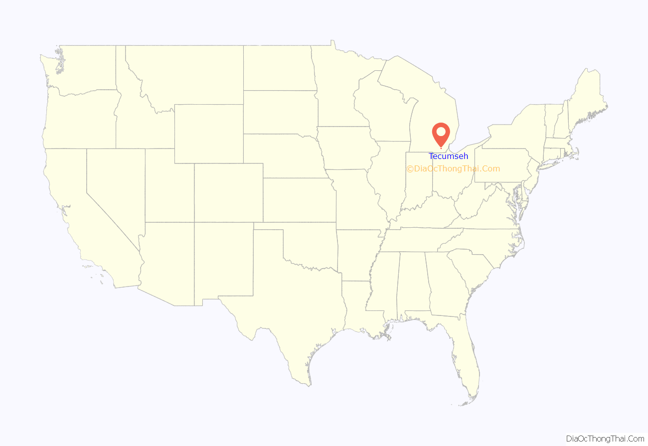
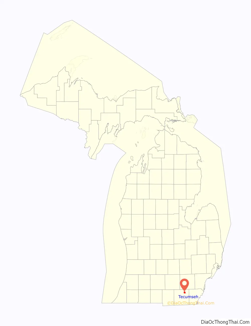
Tecumseh location map. Where is Tecumseh city?
History
The boundaries of Lenawee County were laid out by a proclamation of the Territorial Governor, Lewis Cass, on September 10, 1822. Lenawee remained attached to Monroe County, out of which it was formed, until an act of the Territorial Legislature passed on December 26, 1826, organized the county government.
The first settlement in the county was made two years earlier, on May 21, 1824, in Tecumseh. The settlers, consisting of fifteen men, eleven women, and six children, all came from Jefferson County, New York. In 1823, Musgrove Evans had located the land and persuaded General Joseph W. Brown and the others to move to the site. Brown and Evans, along with Austin Eli Wing, purchased land there and platted the village of Tecumseh in 1824.
These founders appealed to Governor Cass to locate the county seat of Lenawee at Tecumseh. This was accomplished by an act of the Territorial Legislature on June 30, 1824, although county government was not organized for another year and a half. The city was named after Shawnee chief Tecumseh, whose people had historically controlled that territory.
Tecumseh remained the county seat until 1838, when it was transferred to Adrian. The Township of Tecumseh was organized on April 12, 1837, initially encompassing the entire northern third of the county.
Just to the north of Tecumseh, the village of Bownville was established in 1823 by Austin Wing. It was annexed by Tecumseh in 1838.
Tecumseh Road Map
Tecumseh city Satellite Map
Geography
Tecumseh is located in Southeast Michigan. According to the United States Census Bureau, the city has a total area of 5.94 square miles (15.38 km), of which 5.70 square miles (14.76 km) is land and 0.24 square miles (0.62 km) is water.
See also
Map of Michigan State and its subdivision:- Alcona
- Alger
- Allegan
- Alpena
- Antrim
- Arenac
- Baraga
- Barry
- Bay
- Benzie
- Berrien
- Branch
- Calhoun
- Cass
- Charlevoix
- Cheboygan
- Chippewa
- Clare
- Clinton
- Crawford
- Delta
- Dickinson
- Eaton
- Emmet
- Genesee
- Gladwin
- Gogebic
- Grand Traverse
- Gratiot
- Hillsdale
- Houghton
- Huron
- Ingham
- Ionia
- Iosco
- Iron
- Isabella
- Jackson
- Kalamazoo
- Kalkaska
- Kent
- Keweenaw
- Lake
- Lake Hurron
- Lake Michigan
- Lake St. Clair
- Lake Superior
- Lapeer
- Leelanau
- Lenawee
- Livingston
- Luce
- Mackinac
- Macomb
- Manistee
- Marquette
- Mason
- Mecosta
- Menominee
- Midland
- Missaukee
- Monroe
- Montcalm
- Montmorency
- Muskegon
- Newaygo
- Oakland
- Oceana
- Ogemaw
- Ontonagon
- Osceola
- Oscoda
- Otsego
- Ottawa
- Presque Isle
- Roscommon
- Saginaw
- Saint Clair
- Saint Joseph
- Sanilac
- Schoolcraft
- Shiawassee
- Tuscola
- Van Buren
- Washtenaw
- Wayne
- Wexford
- Alabama
- Alaska
- Arizona
- Arkansas
- California
- Colorado
- Connecticut
- Delaware
- District of Columbia
- Florida
- Georgia
- Hawaii
- Idaho
- Illinois
- Indiana
- Iowa
- Kansas
- Kentucky
- Louisiana
- Maine
- Maryland
- Massachusetts
- Michigan
- Minnesota
- Mississippi
- Missouri
- Montana
- Nebraska
- Nevada
- New Hampshire
- New Jersey
- New Mexico
- New York
- North Carolina
- North Dakota
- Ohio
- Oklahoma
- Oregon
- Pennsylvania
- Rhode Island
- South Carolina
- South Dakota
- Tennessee
- Texas
- Utah
- Vermont
- Virginia
- Washington
- West Virginia
- Wisconsin
- Wyoming