Amboy is a city in Blue Earth County, Minnesota, United States. The population was 535 at the 2020 census. It is part of the Mankato–North Mankato Metropolitan Statistical Area. The city was founded in 1879. It celebrated its 125th anniversary in September 2004.
| Name: | Amboy city |
|---|---|
| LSAD Code: | 25 |
| LSAD Description: | city (suffix) |
| State: | Minnesota |
| County: | Blue Earth County |
| Elevation: | 1,040 ft (317 m) |
| Total Area: | 0.31 sq mi (0.81 km²) |
| Land Area: | 0.31 sq mi (0.81 km²) |
| Water Area: | 0.00 sq mi (0.00 km²) |
| Total Population: | 535 |
| Population Density: | 1,714.74/sq mi (662.78/km²) |
| ZIP code: | 56010 |
| Area code: | 507 |
| FIPS code: | 2701324 |
| GNISfeature ID: | 0639321 |
| Website: | AmboyMN.Gov |
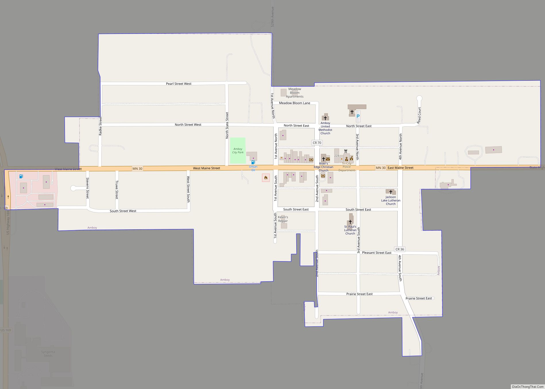
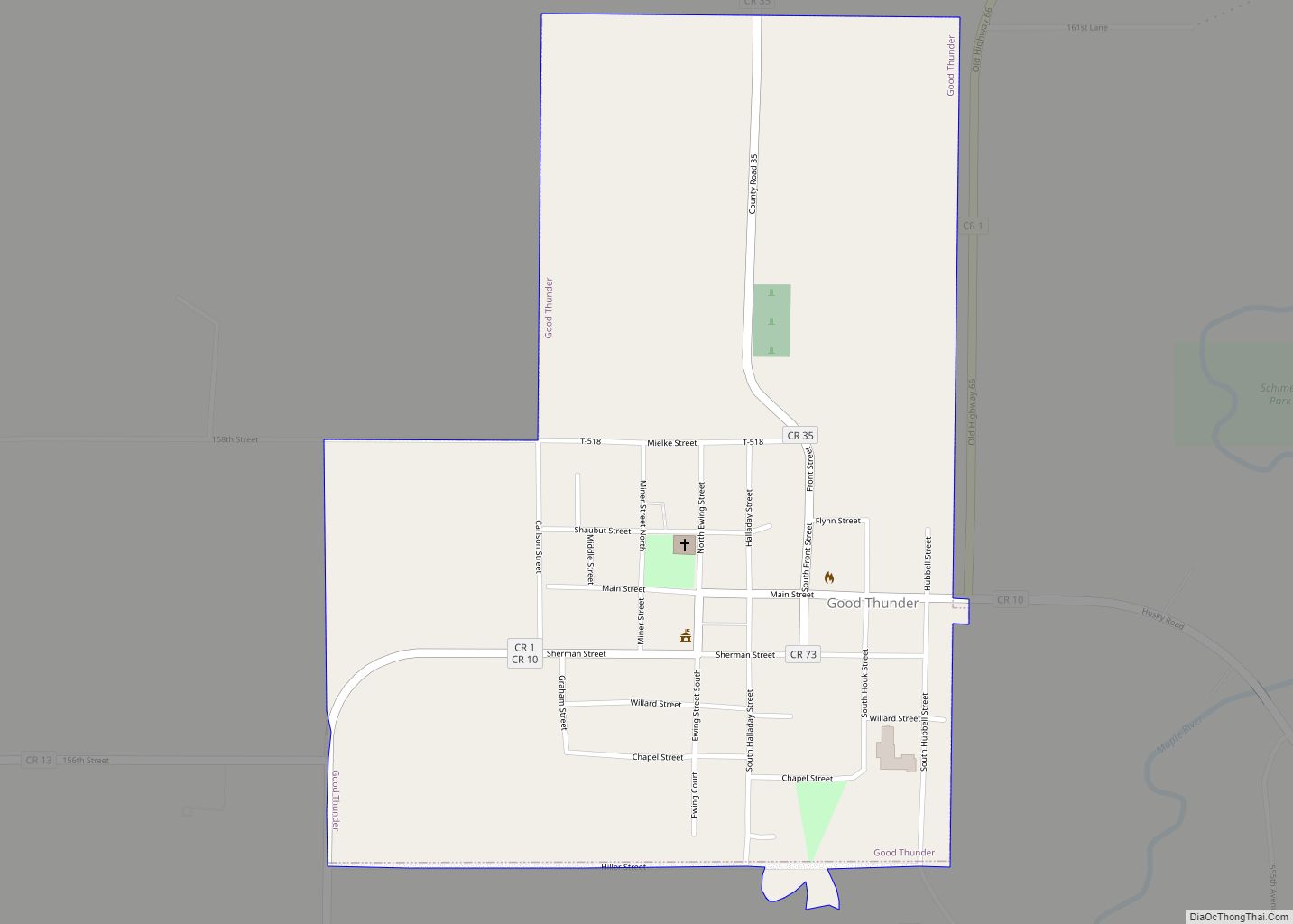
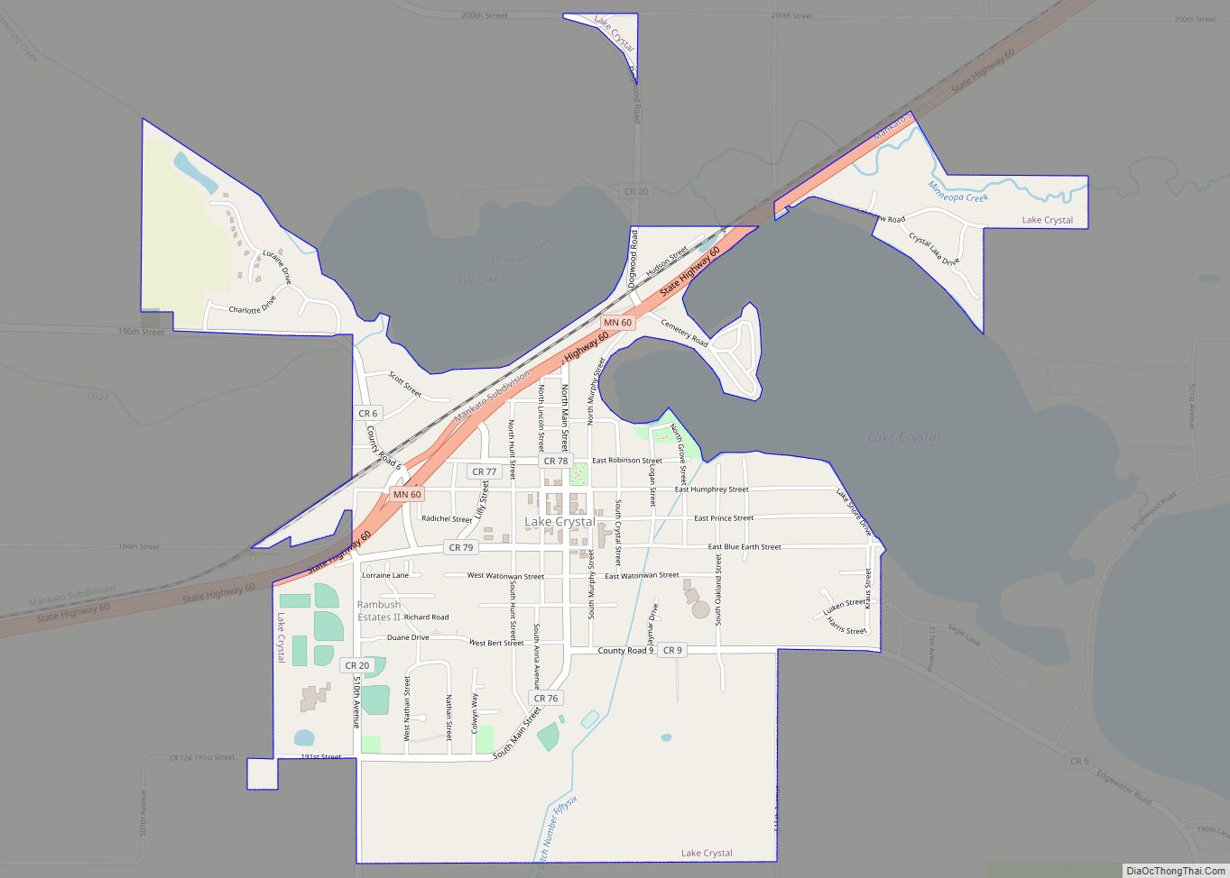
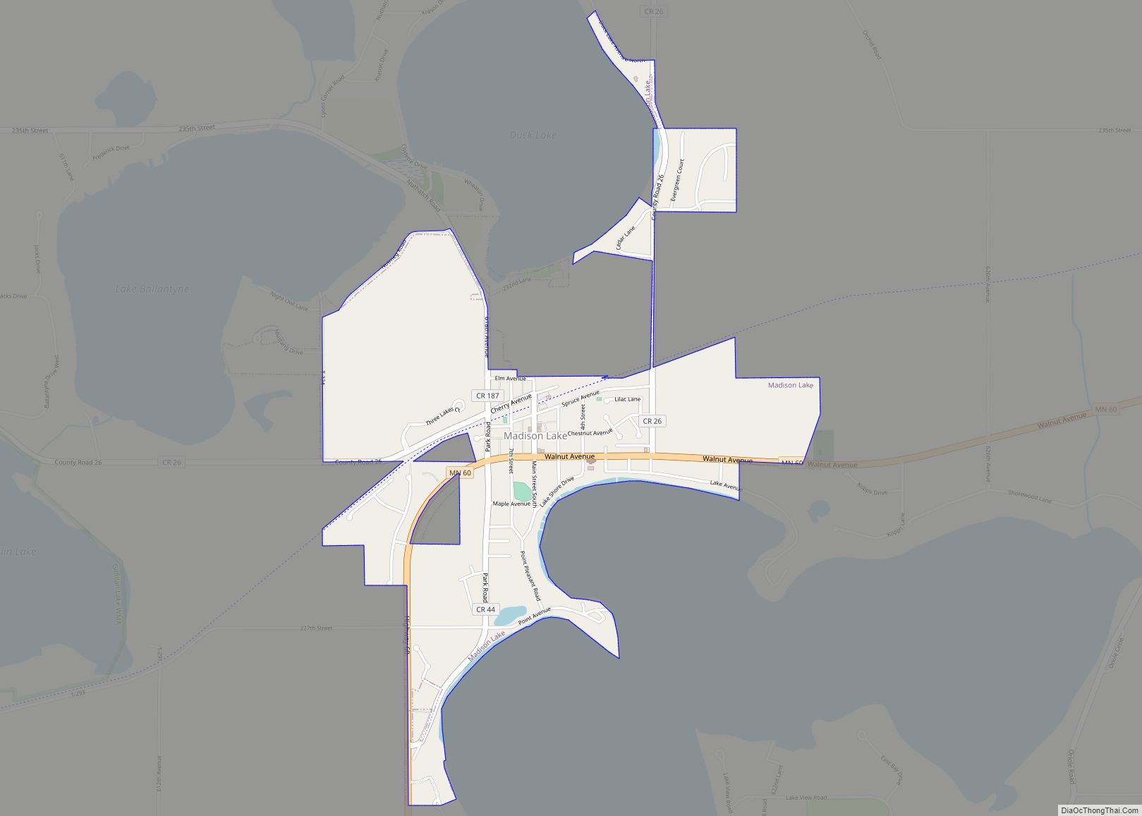
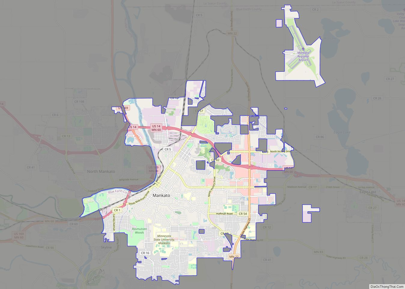
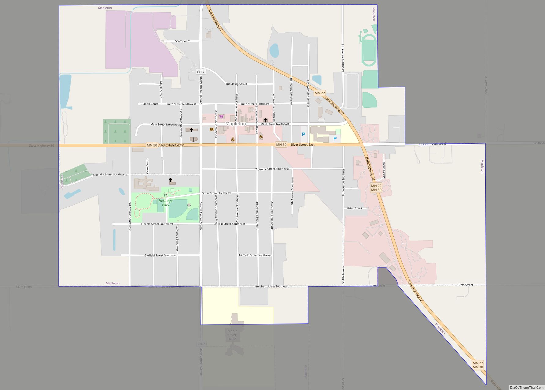
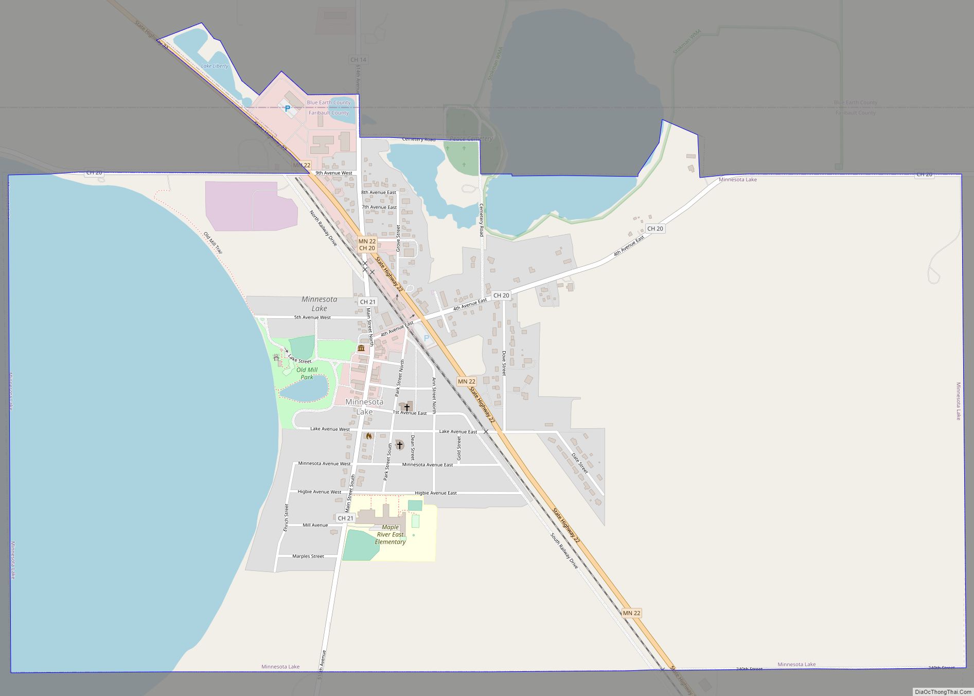
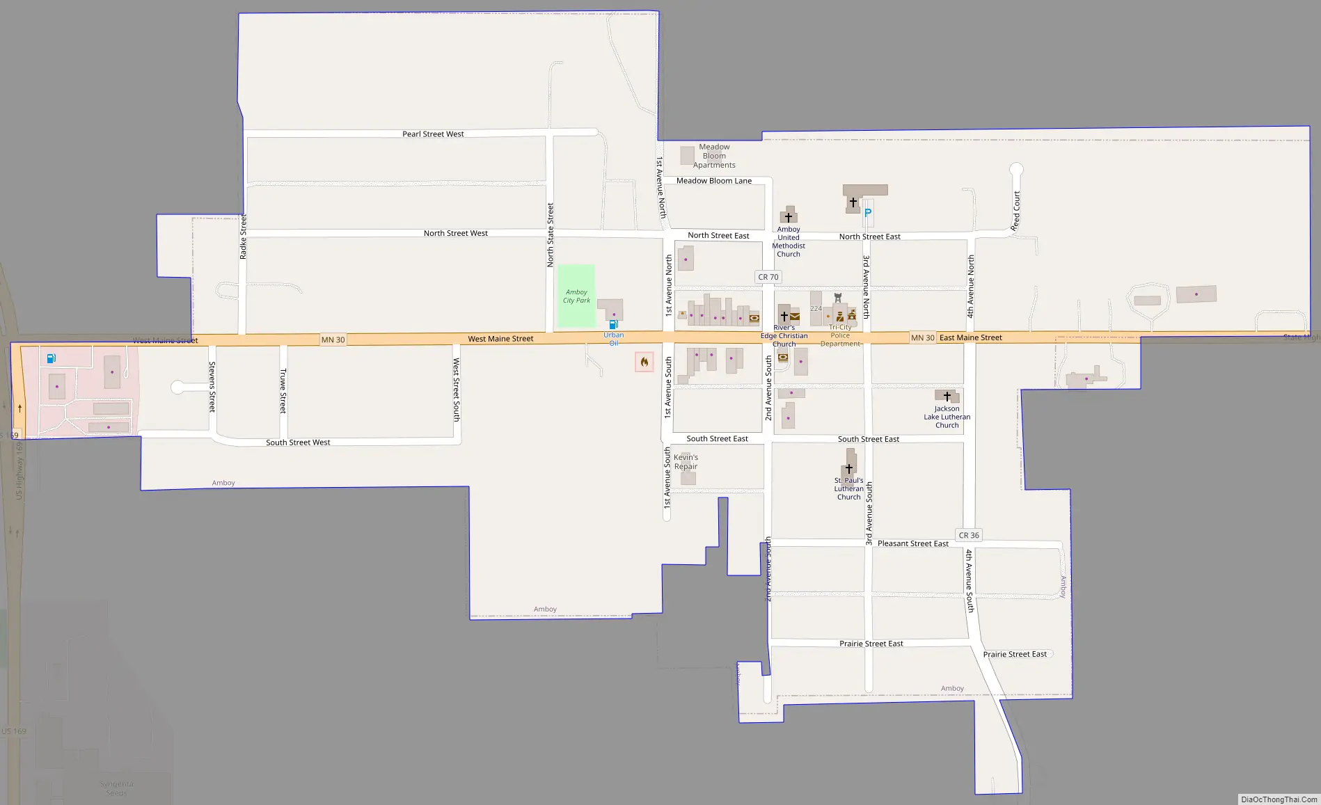
Online Interactive Map
Click on ![]() to view map in "full screen" mode.
to view map in "full screen" mode.
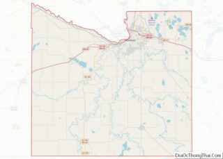
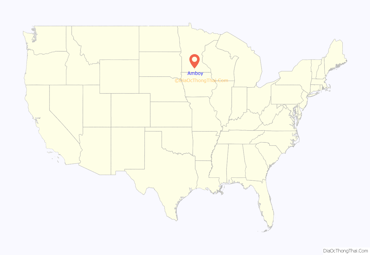
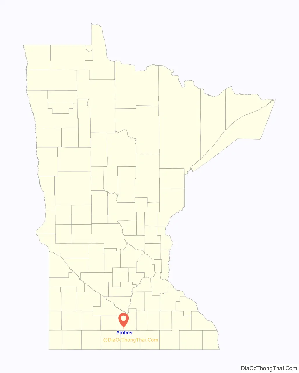
Amboy location map. Where is Amboy city?
History
Shelby Township was organized in 1858, the year Minnesota achieved statehood. The township’s main inducement to settlement was its rich prairie loam, rendered still more attractive by the availability of wood lots along the Blue Earth River. By 1860, Shelby Township was the most populous in Blue Earth County. In addition to its 315 residents, it also sustained a small but thriving village known as Shelbyville, located in Section 35, about two miles south of modern Amboy. In the early 1860s Shelbyville hosted the county fair. The town included a hotel, church, schoolhouse, mill, two stores, a blacksmith shop, a wagon shop, and a post office.
By 1875, Shelby Township was a relatively mature agricultural area, well known for grains and livestock. At that time, the township’s population was 800, and it remained at approximately the same level for the next thirty years. Despite such overall stability, there were some significant population shifts within the township itself.
The main catalyst for change was the St. Paul and Sioux City Railway (later a part of the Omaha Road), which in 1879 built a north-south branch line through Blue Earth County. In several townships along the proposed route, residents offered the railroad financial incentives to locate a depot in their vicinity including donated land and a red cow with a broken horn. For reasons that are not completely clear, the citizens of Shelbyville declined to do so. On September 2, 1879, they voted down a proposition to give the railroad a $10,000 grant. A week earlier, however, a group of farmers residing two miles north of Shelbyville had made the railroad an offer of their own.
The farmers’ proposal, which was accepted, was to buy forty acres of land for the railroad, if the railroad would lay out town lots, build a depot, and build a grain elevator. The town, named Amboy, was laid out in October 1879. This triggered the death of Shelbyville, which was deserted within three years, the buildings having been moved to other locations. Incorporating as a city in 1887, Amboy had more than 400 inhabitants by the turn of the century.
Amboy Road Map
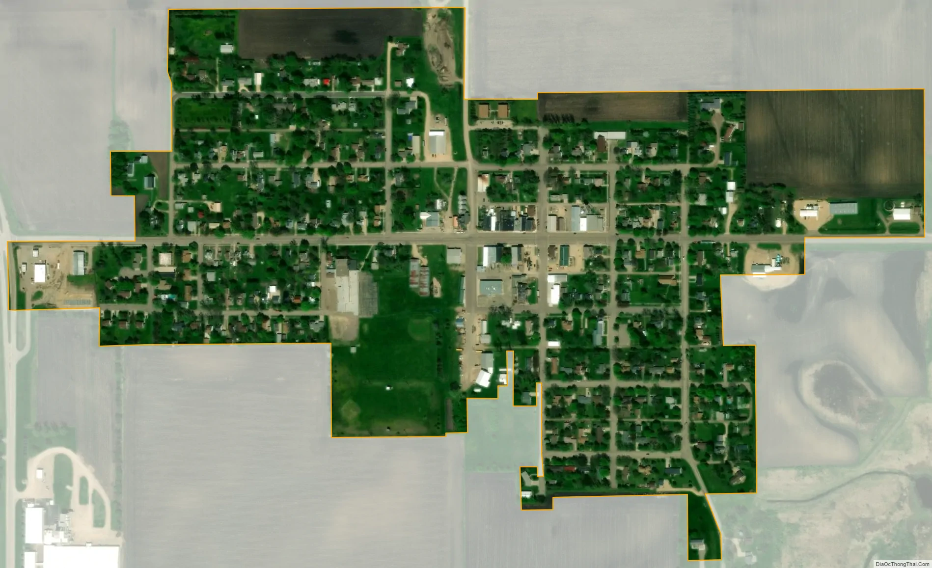
Amboy city Satellite Map
Geography
According to the U.S. Census Bureau, the city has a total area of 0.31 square miles (0.80 km), all land.
U.S. Route 169 and Minnesota State Highway 30 are two of the main routes in the community.
Climate
See also
Map of Minnesota State and its subdivision:- Aitkin
- Anoka
- Becker
- Beltrami
- Benton
- Big Stone
- Blue Earth
- Brown
- Carlton
- Carver
- Cass
- Chippewa
- Chisago
- Clay
- Clearwater
- Cook
- Cottonwood
- Crow Wing
- Dakota
- Dodge
- Douglas
- Faribault
- Fillmore
- Freeborn
- Goodhue
- Grant
- Hennepin
- Houston
- Hubbard
- Isanti
- Itasca
- Jackson
- Kanabec
- Kandiyohi
- Kittson
- Koochiching
- Lac qui Parle
- Lake
- Lake of the Woods
- Lake Superior
- Le Sueur
- Lincoln
- Lyon
- Mahnomen
- Marshall
- Martin
- McLeod
- Meeker
- Mille Lacs
- Morrison
- Mower
- Murray
- Nicollet
- Nobles
- Norman
- Olmsted
- Otter Tail
- Pennington
- Pine
- Pipestone
- Polk
- Pope
- Ramsey
- Red Lake
- Redwood
- Renville
- Rice
- Rock
- Roseau
- Saint Louis
- Scott
- Sherburne
- Sibley
- Stearns
- Steele
- Stevens
- Swift
- Todd
- Traverse
- Wabasha
- Wadena
- Waseca
- Washington
- Watonwan
- Wilkin
- Winona
- Wright
- Yellow Medicine
- Alabama
- Alaska
- Arizona
- Arkansas
- California
- Colorado
- Connecticut
- Delaware
- District of Columbia
- Florida
- Georgia
- Hawaii
- Idaho
- Illinois
- Indiana
- Iowa
- Kansas
- Kentucky
- Louisiana
- Maine
- Maryland
- Massachusetts
- Michigan
- Minnesota
- Mississippi
- Missouri
- Montana
- Nebraska
- Nevada
- New Hampshire
- New Jersey
- New Mexico
- New York
- North Carolina
- North Dakota
- Ohio
- Oklahoma
- Oregon
- Pennsylvania
- Rhode Island
- South Carolina
- South Dakota
- Tennessee
- Texas
- Utah
- Vermont
- Virginia
- Washington
- West Virginia
- Wisconsin
- Wyoming