Askov is a city in Pine County, Minnesota, United States. The population was 364 at the 2010 census.
Minnesota State Highway 23 serves as a main route in the community, and Interstate 35 is nearby.
| Name: | Askov city |
|---|---|
| LSAD Code: | 25 |
| LSAD Description: | city (suffix) |
| State: | Minnesota |
| County: | Pine County |
| Incorporated: | April 25, 1918 |
| Elevation: | 1,168 ft (356 m) |
| Total Area: | 1.26 sq mi (3.26 km²) |
| Land Area: | 1.26 sq mi (3.26 km²) |
| Water Area: | 0.00 sq mi (0.00 km²) |
| Total Population: | 331 |
| Population Density: | 263.12/sq mi (101.62/km²) |
| ZIP code: | 55704 |
| Area code: | 320 |
| FIPS code: | 2702548 |
| GNISfeature ID: | 2394004 |
| Website: | cityofaskov.com |
Online Interactive Map
Click on ![]() to view map in "full screen" mode.
to view map in "full screen" mode.
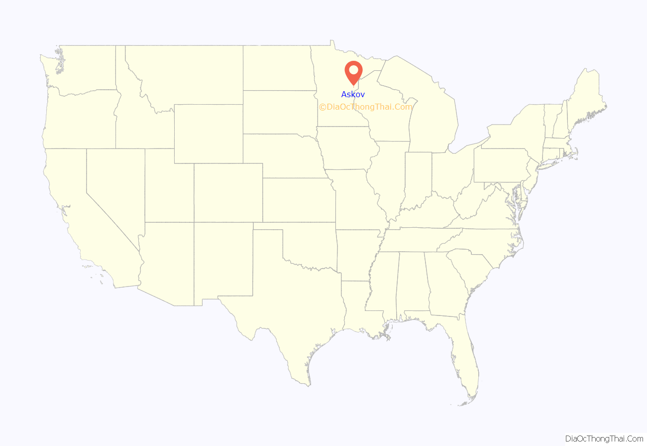
Askov location map. Where is Askov city?
History
The village was originally within the lands of the village of Partridge, at a stop far outside the original village along Great Northern Railway; here a post office was set up, called Partridge from 1889 to 1909, before changing its name to Askov in 1909. Most of the original village of Partridge was destroyed in the 1894 Hinckley fire. The immigrants to the Danish “colony” of Askov were nationalistic Lutheran followers of the theologian and cultural leader N. F. S. Grundtvig. Danish immigrants had previously been mostly economic migrants fleeing poverty, but the first migrants to Askov were almost all Grundvigian Danes from elsewhere in the U.S. The Dansk Folkesamfund (Danish Peoples Society) was founded in 1887 by Svend Hersleb Grundtvig, N. F. S. Grundtvig’s son, to conserve Danish social heritage and promote immigration to the U.S. The Dansk Folkesamfund, with help from the railroad company, bought 45 parcels of land around the train station and post office in 1906 and by 1909 had sold them exclusively to Danish settlers, some 25 families. The name “Askov” was chosen to commemorate the village of Askov, Denmark, the site of one of the largest folk high schools (Askov Højskole) founded by N. F. S. Grundtvig. The name Askov is derived from “ash forest” (ask skov) in Danish. By 1916, almost 1,000 settlers of Danish descent lived here, although 1920 U.S. census data records only 242 inhabitants in Askov; most people lived in Partridge. This was Minnesota’s largest concentration of Danish settlers. The new village was incorporated on April 25, 1918, and officially separated from the township as the City of Askov on April 8, 1921. Initially the main economic activity was dairy (the first cooperative creamery being built in 1910) supplemented by mixed intensive farming. Nearly all the streets in Askov have Danish names.
Askov’s population now has the following ancestries: German (20.8%), Irish (12.0%), Norwegian (7.3%), Danish (6.3%), Scandinavian (5.2%), American (4.7%).
The fashion brand Askov Finlayson was named after this city and neighboring Finlayson, Minnesota, which share a freeway exit on I-35.
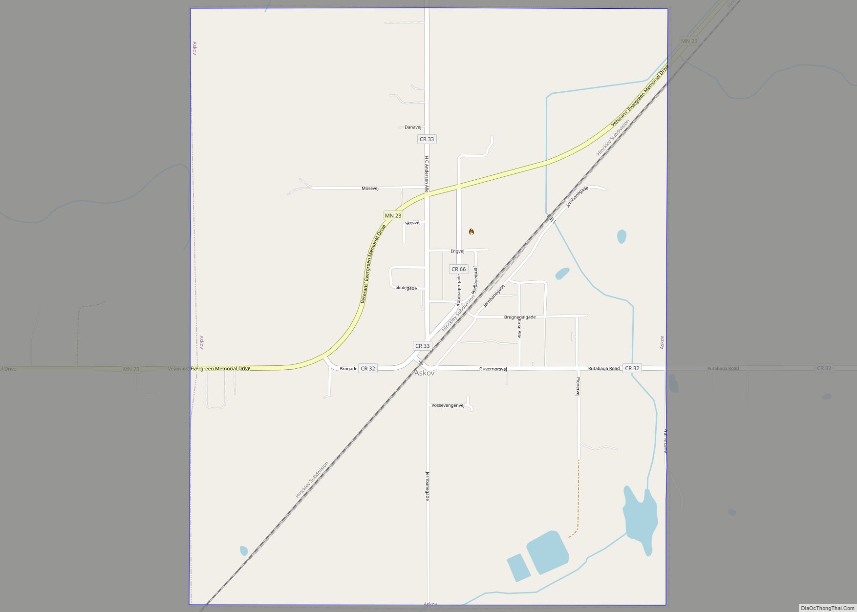
Askov Road Map
Askov city Satellite Map
Geography
According to the United States Census Bureau, the village has an area of 1.26 square miles (3.26 km), all land.
The Kettle River and Partridge Creek both flow nearby. Banning State Park is also nearby.
See also
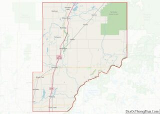
Map of Minnesota State and its subdivision:- Aitkin
- Anoka
- Becker
- Beltrami
- Benton
- Big Stone
- Blue Earth
- Brown
- Carlton
- Carver
- Cass
- Chippewa
- Chisago
- Clay
- Clearwater
- Cook
- Cottonwood
- Crow Wing
- Dakota
- Dodge
- Douglas
- Faribault
- Fillmore
- Freeborn
- Goodhue
- Grant
- Hennepin
- Houston
- Hubbard
- Isanti
- Itasca
- Jackson
- Kanabec
- Kandiyohi
- Kittson
- Koochiching
- Lac qui Parle
- Lake
- Lake of the Woods
- Lake Superior
- Le Sueur
- Lincoln
- Lyon
- Mahnomen
- Marshall
- Martin
- McLeod
- Meeker
- Mille Lacs
- Morrison
- Mower
- Murray
- Nicollet
- Nobles
- Norman
- Olmsted
- Otter Tail
- Pennington
- Pine
- Pipestone
- Polk
- Pope
- Ramsey
- Red Lake
- Redwood
- Renville
- Rice
- Rock
- Roseau
- Saint Louis
- Scott
- Sherburne
- Sibley
- Stearns
- Steele
- Stevens
- Swift
- Todd
- Traverse
- Wabasha
- Wadena
- Waseca
- Washington
- Watonwan
- Wilkin
- Winona
- Wright
- Yellow Medicine
- Alabama
- Alaska
- Arizona
- Arkansas
- California
- Colorado
- Connecticut
- Delaware
- District of Columbia
- Florida
- Georgia
- Hawaii
- Idaho
- Illinois
- Indiana
- Iowa
- Kansas
- Kentucky
- Louisiana
- Maine
- Maryland
- Massachusetts
- Michigan
- Minnesota
- Mississippi
- Missouri
- Montana
- Nebraska
- Nevada
- New Hampshire
- New Jersey
- New Mexico
- New York
- North Carolina
- North Dakota
- Ohio
- Oklahoma
- Oregon
- Pennsylvania
- Rhode Island
- South Carolina
- South Dakota
- Tennessee
- Texas
- Utah
- Vermont
- Virginia
- Washington
- West Virginia
- Wisconsin
- Wyoming
