Hinckley is a city in Pine County, Minnesota, United States, located at the junction of Interstate 35 and Minnesota State Highway 48. The population was 1,800 at the 2010 census.
Hinckley’s name in the Ojibwe language is Gaa-zhiigwanaabikokaag, meaning “the place abundant with grindstones” due to being located along the Grindstone River. Portions of the Mille Lacs Indian Reservation are located within and adjacent to Hinckley.
On September 1, 1894, the Great Hinckley Fire killed more than 400 people.
Hinckley is generally considered the halfway point on Interstate 35 between Minneapolis–Saint Paul and Duluth.
| Name: | Hinckley city |
|---|---|
| LSAD Code: | 25 |
| LSAD Description: | city (suffix) |
| State: | Minnesota |
| County: | Pine County |
| Elevation: | 1,014 ft (309 m) |
| Total Area: | 3.84 sq mi (9.93 km²) |
| Land Area: | 3.79 sq mi (9.81 km²) |
| Water Area: | 0.05 sq mi (0.13 km²) |
| Total Population: | 1,904 |
| Population Density: | 502.91/sq mi (194.18/km²) |
| ZIP code: | 55037 |
| Area code: | 320 |
| FIPS code: | 2729294 |
| GNISfeature ID: | 2394390 |
| Website: | www.hinckley.govoffice2.com |
Online Interactive Map
Click on ![]() to view map in "full screen" mode.
to view map in "full screen" mode.
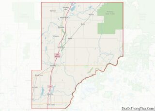
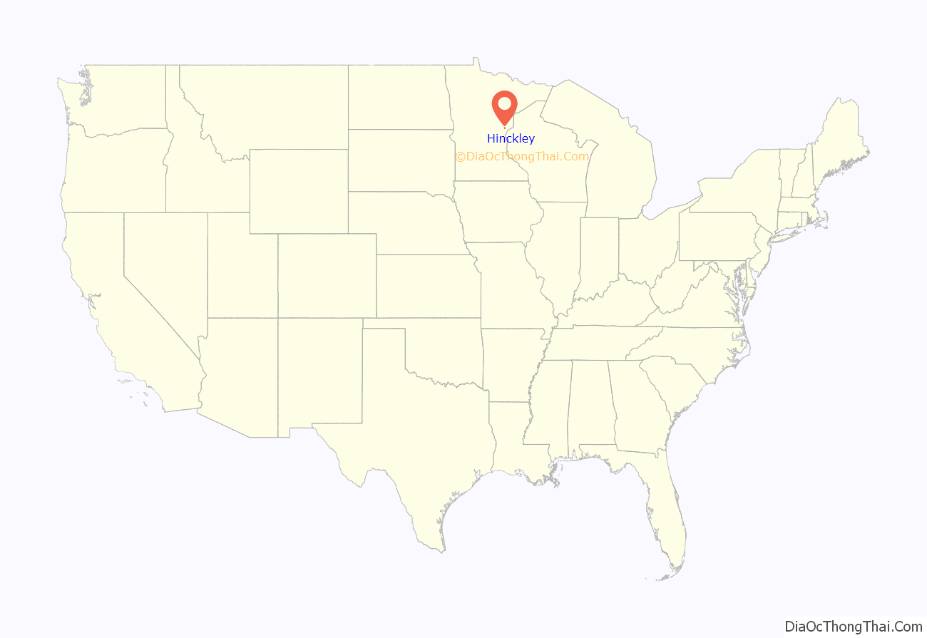
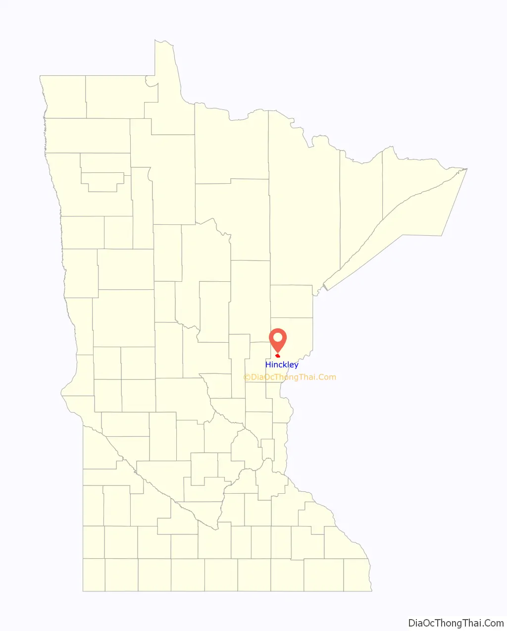
Hinckley location map. Where is Hinckley city?
History
The Ojibwe Indians were the first people to settle the Hinckley area. They trapped and hunted on the land and traded furs at the Mille Lacs and Pokegama trading posts.
When European settlers came to the Hinckley area, it was a heavily forested area with thick forests of white pine, some of the largest in the state. The first railroad arrived in Hinckley in 1869; and so began a logging and railroad expansion.
Hinckley was founded as the Village of Central Station in 1885, the village was re-incorporated as the City of Hinckley in 1907. Both names were after Hinckley Township where the city is located within. Surrounding Hinckley Township was known as Central Station by the railroads because of its position halfway between the Twin Ports of Duluth and Superior as well as the Twin Cities of Minneapolis and St. Paul. Hinckley Township was named in 1870 after Isaac Hinckley, president of the Philadelphia, Wilmington and Baltimore Railroad.
By 1894, Hinckley was a prosperous community that had everything needed to serve residents and the fast-expanding lumber industry.
On September 1, 1894, everything changed with a firestorm wiping out Hinckley and many northeastern Minnesota towns. Today the Hinckley Fire Museum, nine blocks west of Interstate 35 in downtown Hinckley, tells the devastating story of what came to be called the Great Hinckley Fire and the town’s recovery from it. The museum is located in a restored railroad depot downtown, an exact replica of the pre-fire depot, built just after the fire.
After the fire, the burned stumps of the forests were cleared to take advantage of the now nutrient-rich soil. Hinckley’s recovery would hinge on agriculture. Some of the main crops were potatoes, fruits and vegetables. The early harvests were bountiful. Abundant clover helped feed milk cows for a brisk dairy industry.
Following the national trend in farming, Hinckley has lost most of its agricultural underpinnings.
The Mille Lacs Band of Ojibwe opened Grand Casino Hinckley in 1992.
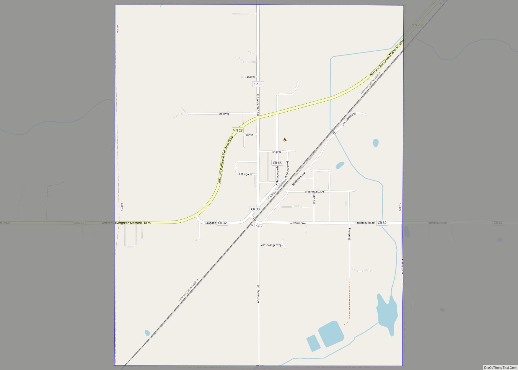
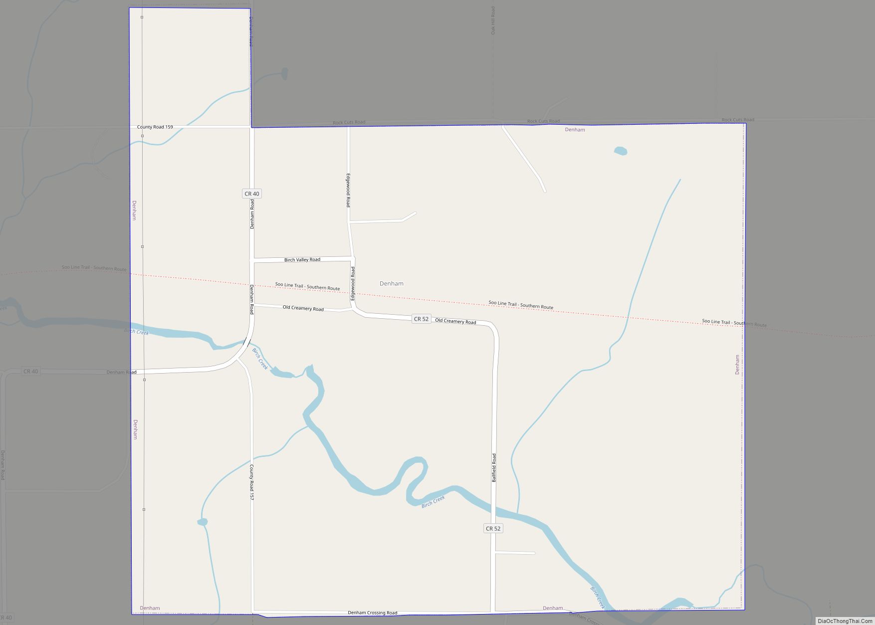
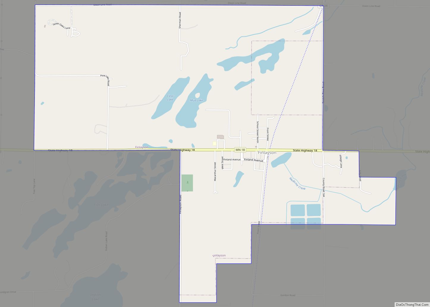
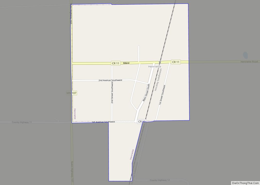
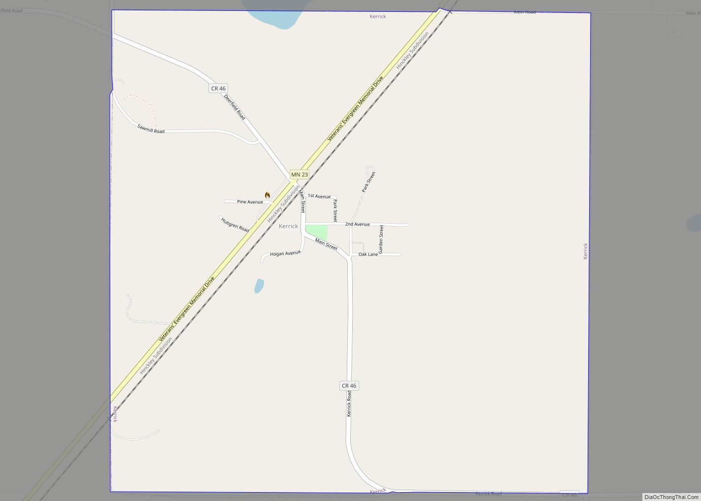
Hinckley Road Map
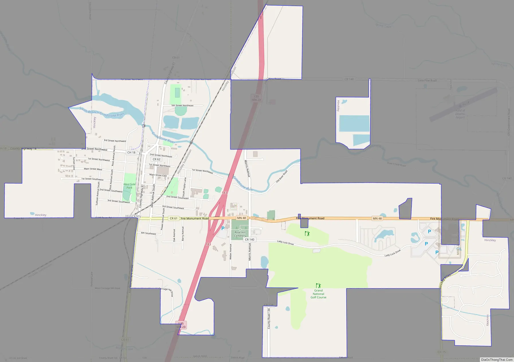
Hinckley city Satellite Map

Geography
According to the United States Census Bureau, the city has a total area of 3.83 square miles (9.92 km), of which 3.78 square miles (9.79 km) is land and 0.05 square miles (0.13 km) is water.
Interstate Highway 35 and Minnesota Highway 23 (co-signed); and Minnesota Highway 48 are two of the main routes in Hinckley. Interstate 35 runs north–south; and Highway 48 (Fire Monument Road) runs east–west. Pine County 61 passes through downtown Hinckley.
Hinckley is along the Grindstone River. The Kettle River is also nearby.
Hinckley is the home of Grand Casino Hinckley, sister casino to Grand Casino Mille Lacs; which holds an associate count equal to the population of the city of Hinckley itself.
Camp Nathanael is located 16 miles (26 km) east of Hinckley on Highway 48.
Climate
See also
Map of Minnesota State and its subdivision:- Aitkin
- Anoka
- Becker
- Beltrami
- Benton
- Big Stone
- Blue Earth
- Brown
- Carlton
- Carver
- Cass
- Chippewa
- Chisago
- Clay
- Clearwater
- Cook
- Cottonwood
- Crow Wing
- Dakota
- Dodge
- Douglas
- Faribault
- Fillmore
- Freeborn
- Goodhue
- Grant
- Hennepin
- Houston
- Hubbard
- Isanti
- Itasca
- Jackson
- Kanabec
- Kandiyohi
- Kittson
- Koochiching
- Lac qui Parle
- Lake
- Lake of the Woods
- Lake Superior
- Le Sueur
- Lincoln
- Lyon
- Mahnomen
- Marshall
- Martin
- McLeod
- Meeker
- Mille Lacs
- Morrison
- Mower
- Murray
- Nicollet
- Nobles
- Norman
- Olmsted
- Otter Tail
- Pennington
- Pine
- Pipestone
- Polk
- Pope
- Ramsey
- Red Lake
- Redwood
- Renville
- Rice
- Rock
- Roseau
- Saint Louis
- Scott
- Sherburne
- Sibley
- Stearns
- Steele
- Stevens
- Swift
- Todd
- Traverse
- Wabasha
- Wadena
- Waseca
- Washington
- Watonwan
- Wilkin
- Winona
- Wright
- Yellow Medicine
- Alabama
- Alaska
- Arizona
- Arkansas
- California
- Colorado
- Connecticut
- Delaware
- District of Columbia
- Florida
- Georgia
- Hawaii
- Idaho
- Illinois
- Indiana
- Iowa
- Kansas
- Kentucky
- Louisiana
- Maine
- Maryland
- Massachusetts
- Michigan
- Minnesota
- Mississippi
- Missouri
- Montana
- Nebraska
- Nevada
- New Hampshire
- New Jersey
- New Mexico
- New York
- North Carolina
- North Dakota
- Ohio
- Oklahoma
- Oregon
- Pennsylvania
- Rhode Island
- South Carolina
- South Dakota
- Tennessee
- Texas
- Utah
- Vermont
- Virginia
- Washington
- West Virginia
- Wisconsin
- Wyoming