Biwabik (/ˈbaɪwəbɪk/ BY-wə-bik) is a city in Saint Louis County, Minnesota, United States. The population was 961 at the 2020 census.
State Highway 135 (MN 135) and Vermilion Trail (County 4) are two of the main routes in Biwabik.
Its name is derived from the Ojibwe word for ‘iron’, biwabiko-nabik-wan. Biwabik is the gateway to the East Range on the Mesabi Iron Range.
Biwabik is a Bavarian-themed town that greets visitors to Giants Ridge Resort with two golf courses and a ski area, as well as trails, lakes, lodging and dining. The Mesabi Trail connects the community to Giants Ridge and Vermilion Trail Campground on Embarrass Lake, making the city a year-round destination. Events include the Calithumpian Fourth of July parade; Honktoberfest in September, an Oktoberfest which honors Honk the Moose; and Weihnachtsfest held on the first Saturday in December, with fireworks, music and food, and lights.
| Name: | Biwabik city |
|---|---|
| LSAD Code: | 25 |
| LSAD Description: | city (suffix) |
| State: | Minnesota |
| County: | St. Louis County |
| Elevation: | 1,450 ft (440 m) |
| Total Area: | 9.93 sq mi (25.72 km²) |
| Land Area: | 8.76 sq mi (22.69 km²) |
| Water Area: | 1.17 sq mi (3.03 km²) |
| Total Population: | 961 |
| Population Density: | 109.70/sq mi (42.36/km²) |
| ZIP code: | 55708 |
| Area code: | 218 |
| FIPS code: | 2706148 |
| GNISfeature ID: | 0660819 |
| Website: | www.cityofbiwabik.com |
Online Interactive Map
Click on ![]() to view map in "full screen" mode.
to view map in "full screen" mode.
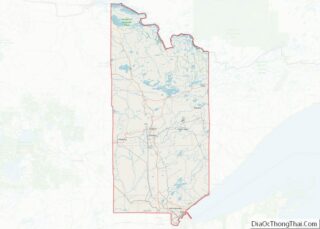
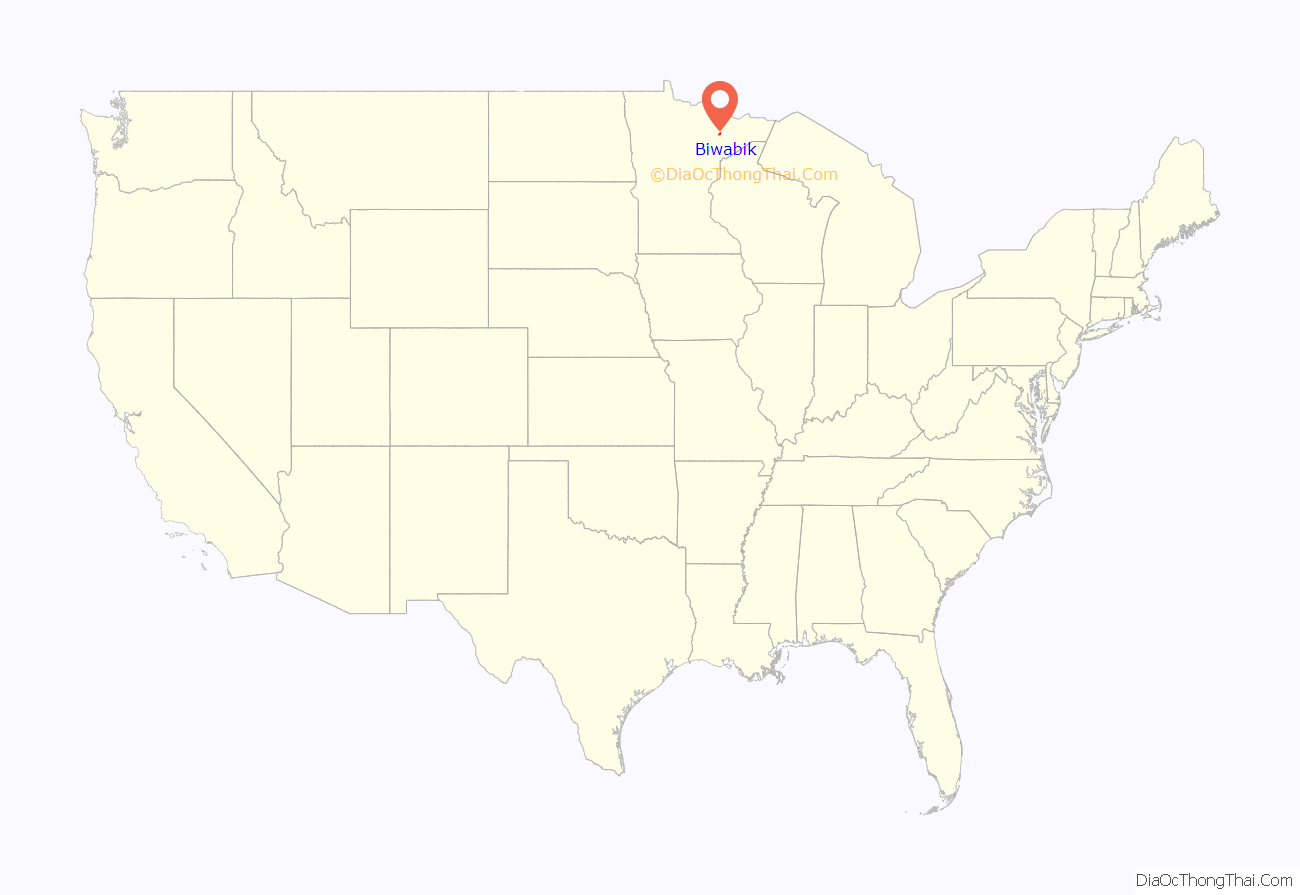
Biwabik location map. Where is Biwabik city?

History
Daniel R. Curtin, Wisconsin State Assemblyman and businessman, at one time owned the town site of Biwabik, Minnesota. For 10 years, Curtin was in the lumber and mining business.
Biwabik is a town full of firsts. Biwabik was the first to incorporate as a village on the Iron Range in September 1892. It was also the first Iron Range town to be served by two railroads, the Duluth and Iron Range and the Duluth, Missabe and Northern Railway. Biwabik had the first large mine on the Mesabi and it was the first on the Iron Range with a steam shovel to mine.
An F3 tornado destroyed homes in the northern and northwestern parts of Biwabik on October 6, 1900, killing ten people in and near the city and injuring 70; six deaths were in one family.
In 1915, a moose visited the town regularly and in the book, Honk, the Moose, the residents named him “Honk” after the noise he made. This children’s book Honk, the Moose, was written by famed author, Phil Stong and illustrated by Kurt Weise. Stong was a teacher and coach at the Biwabik school in the 1919–1920 school year. He featured people from Biwabik as characters. The book is a Newbery Honor and on Cattermole’s 100 Best Children’s Books of the 20th Century. A statue of Honk resides in the city park on Main Street.
Peter X. Fugina (1908–1994), educator and Minnesota state legislator was born in Biwabik.
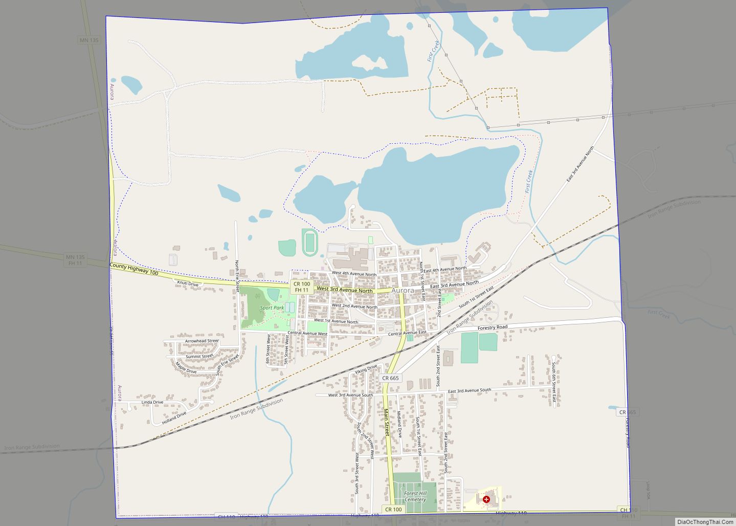
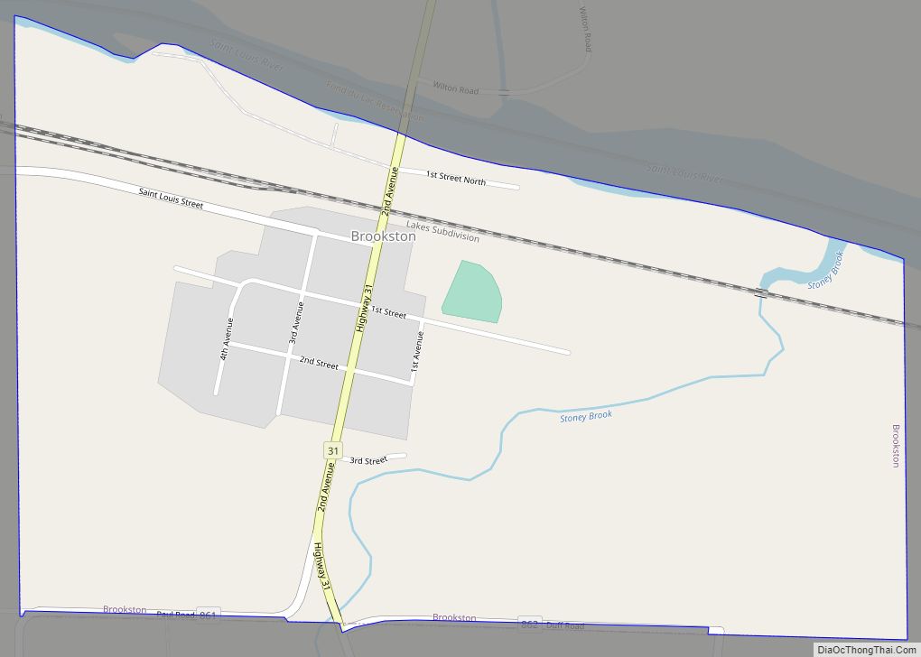
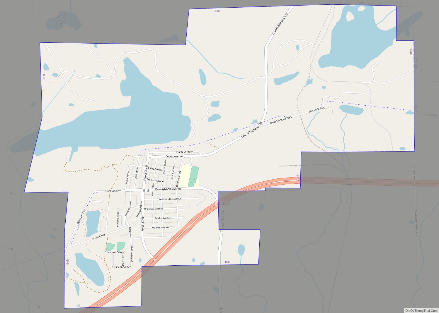
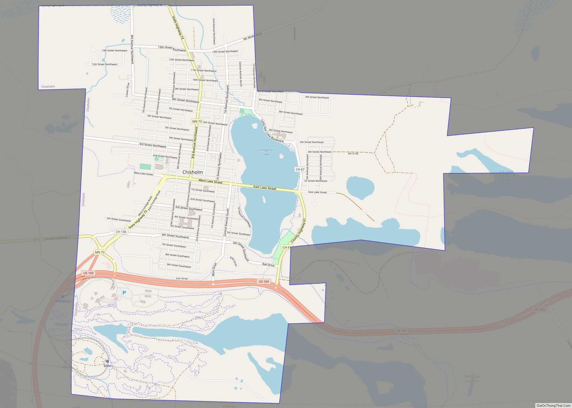
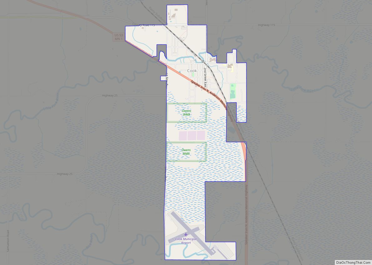
Biwabik Road Map
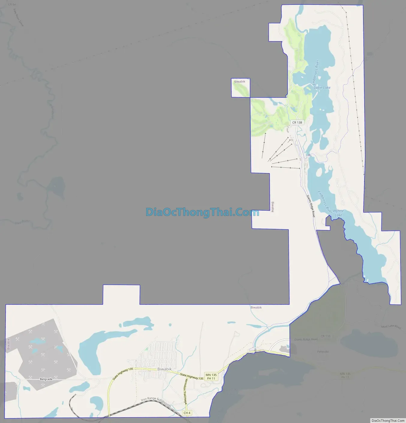
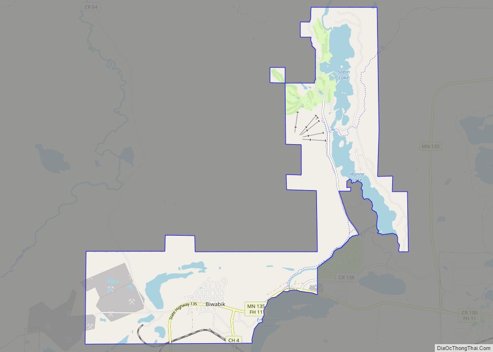
Biwabik city Satellite Map

Geography
According to the United States Census Bureau, the city has a total area of 10.15 square miles (26.29 km); 8.97 square miles (23.23 km) is land and 1.18 square miles (3.06 km) is water.
Unique to Biwabik is the Mary Ellen Jasper. The jasper variety was first discovered in Minnesota in the early 1900s. Mary Ellen Jasper contains 1.88-billion-year-old stromatolite fossils. It is fossilized algae, so the stromatolite is what makes the Mary Ellen unique.
See also
Map of Minnesota State and its subdivision:- Aitkin
- Anoka
- Becker
- Beltrami
- Benton
- Big Stone
- Blue Earth
- Brown
- Carlton
- Carver
- Cass
- Chippewa
- Chisago
- Clay
- Clearwater
- Cook
- Cottonwood
- Crow Wing
- Dakota
- Dodge
- Douglas
- Faribault
- Fillmore
- Freeborn
- Goodhue
- Grant
- Hennepin
- Houston
- Hubbard
- Isanti
- Itasca
- Jackson
- Kanabec
- Kandiyohi
- Kittson
- Koochiching
- Lac qui Parle
- Lake
- Lake of the Woods
- Lake Superior
- Le Sueur
- Lincoln
- Lyon
- Mahnomen
- Marshall
- Martin
- McLeod
- Meeker
- Mille Lacs
- Morrison
- Mower
- Murray
- Nicollet
- Nobles
- Norman
- Olmsted
- Otter Tail
- Pennington
- Pine
- Pipestone
- Polk
- Pope
- Ramsey
- Red Lake
- Redwood
- Renville
- Rice
- Rock
- Roseau
- Saint Louis
- Scott
- Sherburne
- Sibley
- Stearns
- Steele
- Stevens
- Swift
- Todd
- Traverse
- Wabasha
- Wadena
- Waseca
- Washington
- Watonwan
- Wilkin
- Winona
- Wright
- Yellow Medicine
- Alabama
- Alaska
- Arizona
- Arkansas
- California
- Colorado
- Connecticut
- Delaware
- District of Columbia
- Florida
- Georgia
- Hawaii
- Idaho
- Illinois
- Indiana
- Iowa
- Kansas
- Kentucky
- Louisiana
- Maine
- Maryland
- Massachusetts
- Michigan
- Minnesota
- Mississippi
- Missouri
- Montana
- Nebraska
- Nevada
- New Hampshire
- New Jersey
- New Mexico
- New York
- North Carolina
- North Dakota
- Ohio
- Oklahoma
- Oregon
- Pennsylvania
- Rhode Island
- South Carolina
- South Dakota
- Tennessee
- Texas
- Utah
- Vermont
- Virginia
- Washington
- West Virginia
- Wisconsin
- Wyoming