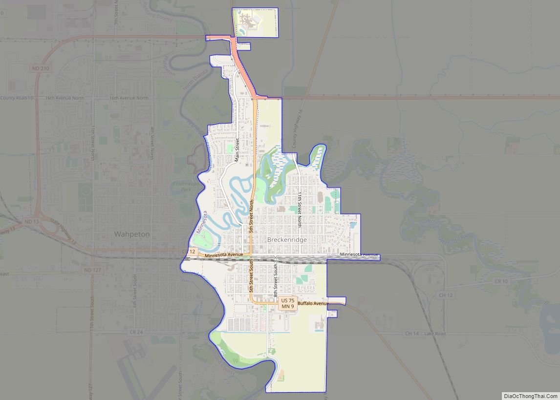
Breckenridge is a city and county seat of Wilkin County, Minnesota, United States. The population was 3,430 at the 2020 census.
Breckenridge’s twin city is Wahpeton, North Dakota. It is part of the Wahpeton, ND—MN Micropolitan Statistical Area. The Bois de Sioux River and the Otter Tail River join at Breckenridge and Wahpeton to form the Red River of the North.
| Name: | Breckenridge city |
|---|---|
| LSAD Code: | 25 |
| LSAD Description: | city (suffix) |
| State: | Minnesota |
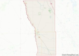
| County: | Wilkin County |
| Elevation: | 961 ft (293 m) |
| Total Area: | 2.53 sq mi (6.55 km²) |
| Land Area: | 2.53 sq mi (6.55 km²) |
| Water Area: | 0.00 sq mi (0.00 km²) |
| Total Population: | 3,430 |
| Population Density: | 1,356.27/sq mi (523.73/km²) |
| ZIP code: | 56520 |
| Area code: | 218 |
| FIPS code: | 2707462 |
| GNISfeature ID: | 0640448 |
| Website: | breckenridgemn.net |
Online Interactive Map
Click on ![]() to view map in "full screen" mode.
to view map in "full screen" mode.
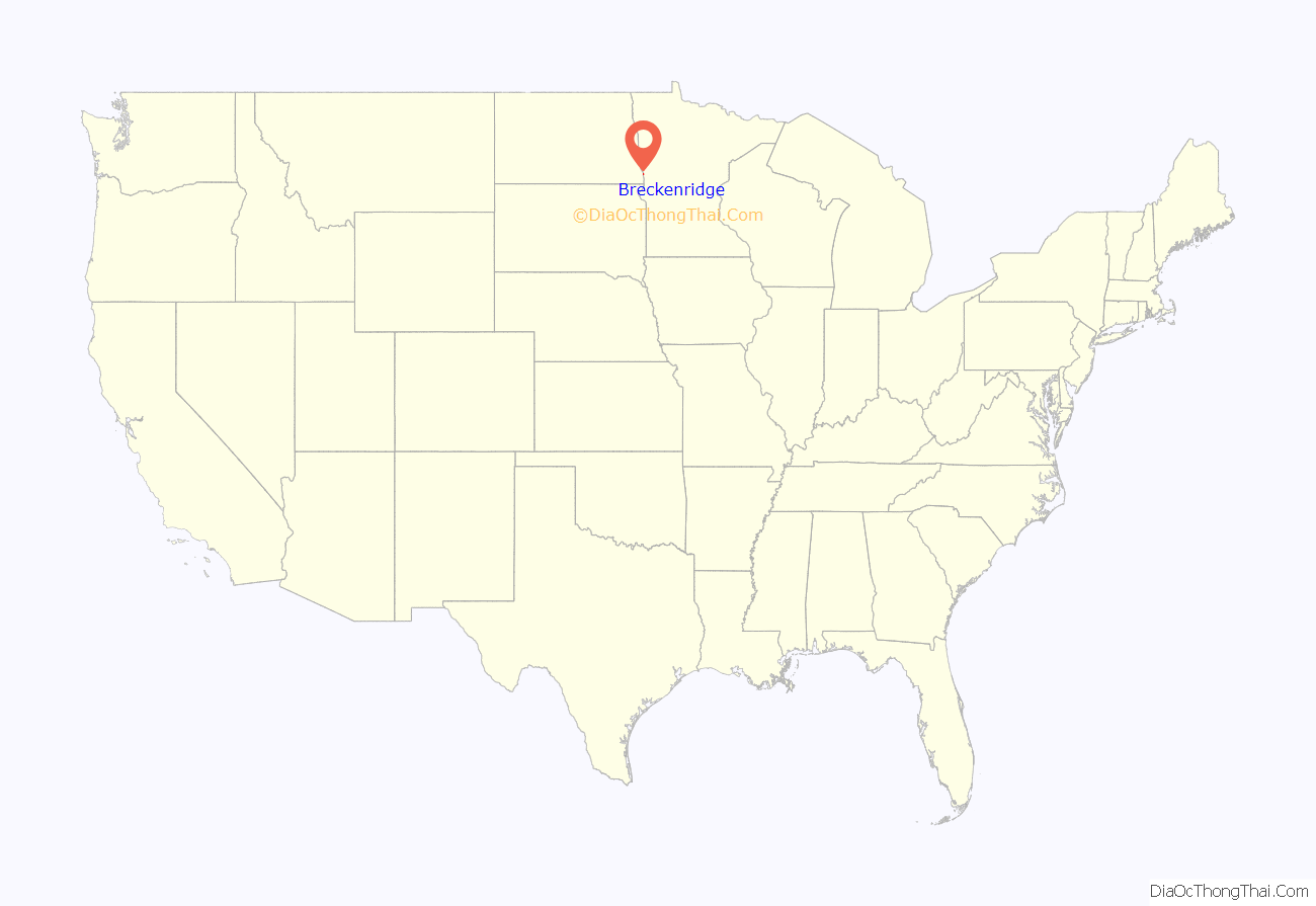
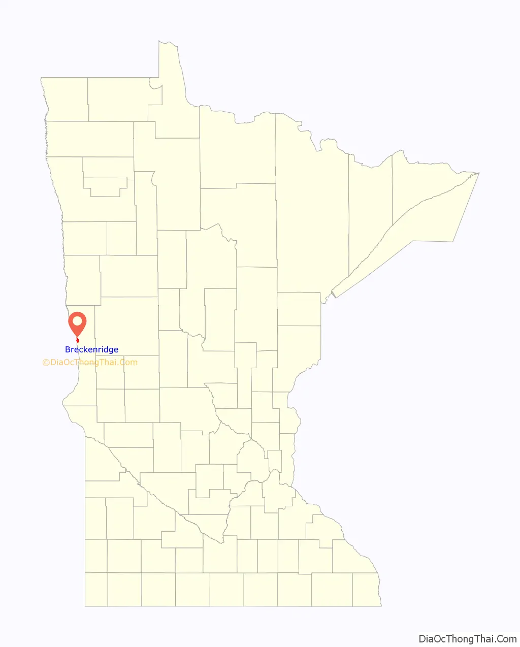
Breckenridge location map. Where is Breckenridge city?
History
Breckenridge was platted in 1857, and named for John Cabell Breckinridge, a U.S. senator from Kentucky and the 14th Vice President of the United States. Breckenridge was also staunchly pro-slavery and was a Major General in the Confederate Army. A post office has been in operation at Breckenridge since 1857. Breckenridge was incorporated in 1908. The city contains one property listed on the National Register of Historic Places, the 1928 Wilkin County Courthouse.
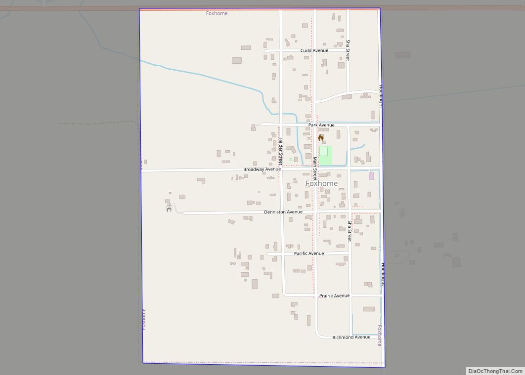
Breckenridge Road Map
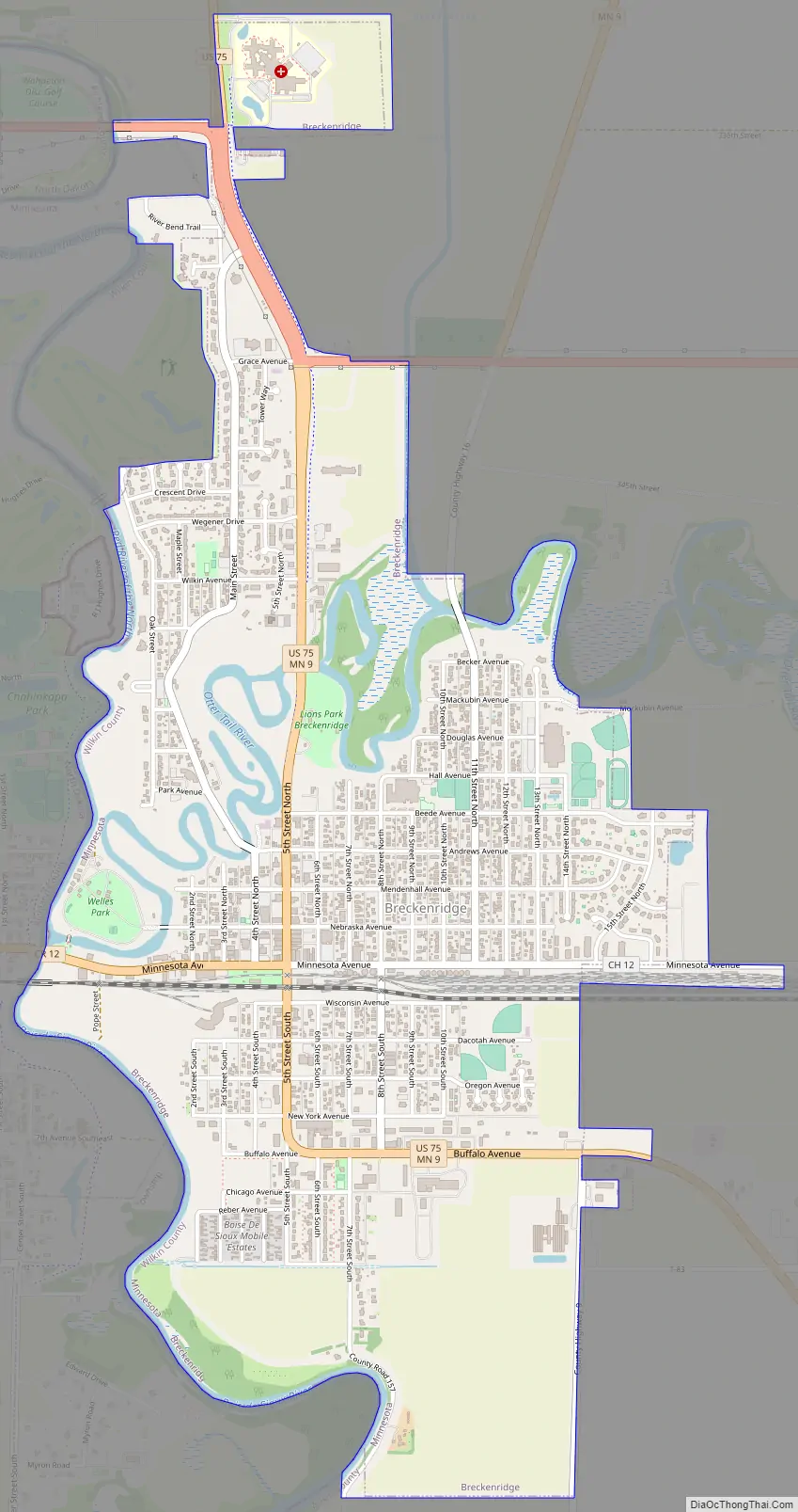
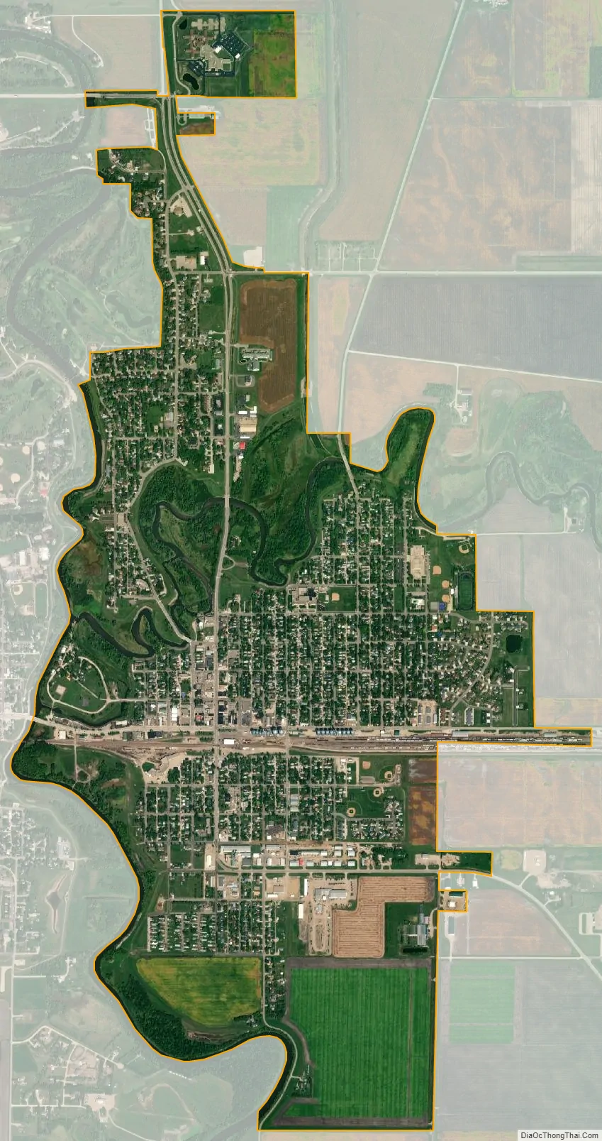
Breckenridge city Satellite Map
Geography
According to the United States Census Bureau, the city has a total area of 2.46 square miles (6.37 km), all land.
U.S. Route 75 and Minnesota State Highways 9 and 210 are three of the main routes in the city. Additionally, the city was situated on the Twin Cities to Seattle main line of the Great Northern Railway. As a result, the Breckenridge station was served by numerous passenger trains through the years until 1979. The city continues to see freight rail traffic on the now BNSF line.
See also
Map of Minnesota State and its subdivision:- Aitkin
- Anoka
- Becker
- Beltrami
- Benton
- Big Stone
- Blue Earth
- Brown
- Carlton
- Carver
- Cass
- Chippewa
- Chisago
- Clay
- Clearwater
- Cook
- Cottonwood
- Crow Wing
- Dakota
- Dodge
- Douglas
- Faribault
- Fillmore
- Freeborn
- Goodhue
- Grant
- Hennepin
- Houston
- Hubbard
- Isanti
- Itasca
- Jackson
- Kanabec
- Kandiyohi
- Kittson
- Koochiching
- Lac qui Parle
- Lake
- Lake of the Woods
- Lake Superior
- Le Sueur
- Lincoln
- Lyon
- Mahnomen
- Marshall
- Martin
- McLeod
- Meeker
- Mille Lacs
- Morrison
- Mower
- Murray
- Nicollet
- Nobles
- Norman
- Olmsted
- Otter Tail
- Pennington
- Pine
- Pipestone
- Polk
- Pope
- Ramsey
- Red Lake
- Redwood
- Renville
- Rice
- Rock
- Roseau
- Saint Louis
- Scott
- Sherburne
- Sibley
- Stearns
- Steele
- Stevens
- Swift
- Todd
- Traverse
- Wabasha
- Wadena
- Waseca
- Washington
- Watonwan
- Wilkin
- Winona
- Wright
- Yellow Medicine
- Alabama
- Alaska
- Arizona
- Arkansas
- California
- Colorado
- Connecticut
- Delaware
- District of Columbia
- Florida
- Georgia
- Hawaii
- Idaho
- Illinois
- Indiana
- Iowa
- Kansas
- Kentucky
- Louisiana
- Maine
- Maryland
- Massachusetts
- Michigan
- Minnesota
- Mississippi
- Missouri
- Montana
- Nebraska
- Nevada
- New Hampshire
- New Jersey
- New Mexico
- New York
- North Carolina
- North Dakota
- Ohio
- Oklahoma
- Oregon
- Pennsylvania
- Rhode Island
- South Carolina
- South Dakota
- Tennessee
- Texas
- Utah
- Vermont
- Virginia
- Washington
- West Virginia
- Wisconsin
- Wyoming