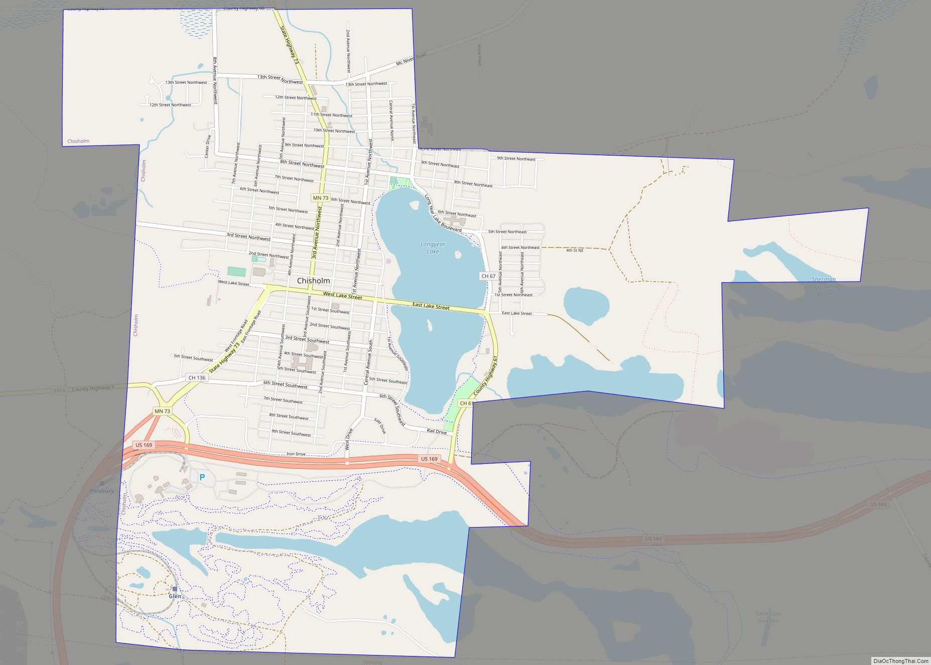
Chisholm is a city in St. Louis County, Minnesota, United States. The population was 4,976 at the 2010 census. The city has been called “The Heart of the Iron Range” due to its location in the middle of the Mesabi Iron Range.
| Name: | Chisholm city |
|---|---|
| LSAD Code: | 25 |
| LSAD Description: | city (suffix) |
| State: | Minnesota |
| County: | St. Louis County |
| Incorporated: | July 23, 1901 |
| Elevation: | 1,539 ft (469 m) |
| Total Area: | 4.73 sq mi (12.24 km²) |
| Land Area: | 4.47 sq mi (11.57 km²) |
| Water Area: | 0.26 sq mi (0.67 km²) |
| Total Population: | 4,775 |
| Population Density: | 1,068.47/sq mi (412.56/km²) |
| ZIP code: | 55719 |
| Area code: | 218 |
| FIPS code: | 2711386 |
| GNISfeature ID: | 0660998 |
Online Interactive Map
Click on ![]() to view map in "full screen" mode.
to view map in "full screen" mode.
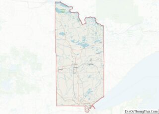
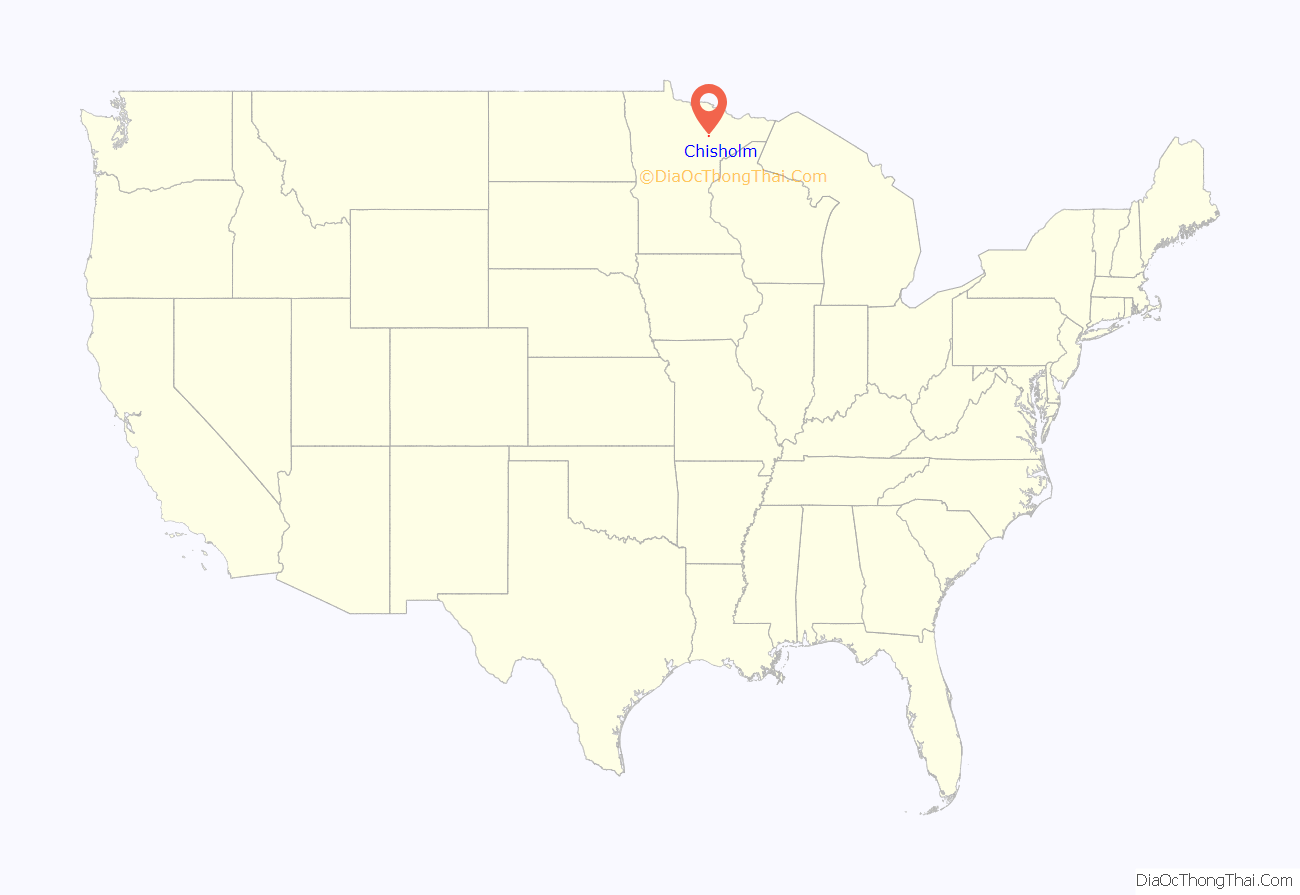
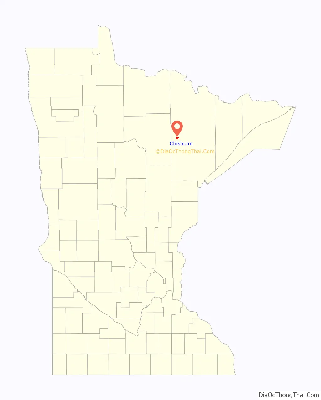
Chisholm location map. Where is Chisholm city?
History
The city was named for its founder, Archibald Mark Chisholm (1862–1933), a mining man and investor from Glengarry County, Ontario, Canada. Chisholm was incorporated in 1901. A post office called Chisholm has been in operation since 1901. With a railroad line to Duluth and plenty of mining work available in and near town, Chisholm’s population grew rapidly, and by 1908 it had more than 6,000 people and 500 buildings. On September 5, 1908, a fast-moving forest fire obliterated the town due to dry conditions and the wooden construction of nearly all the town’s buildings. Many people escaped by going into the lake. No one died in the fire. Afterward, building codes were enhanced, and by the next summer more than 70 fireproof buildings had been erected.
Chisholm became a city in 1934. Muralist Elizabeth Carney Pope completed a WPA mural, Discovery of Ore, in the Chisholm post office in 1941.
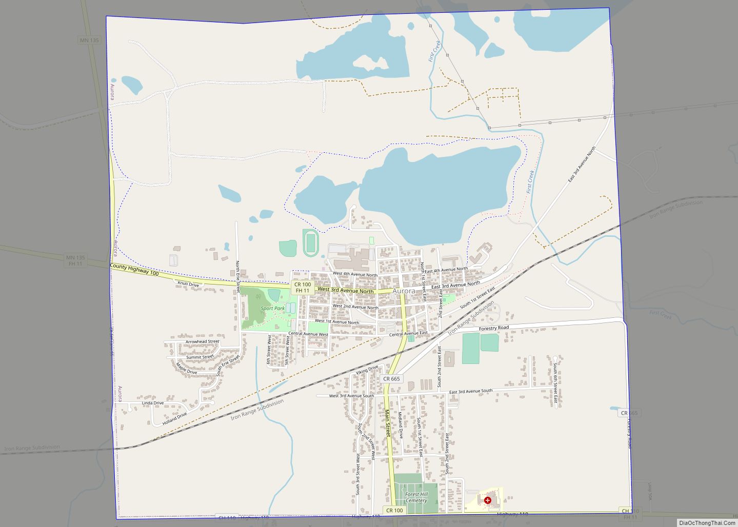
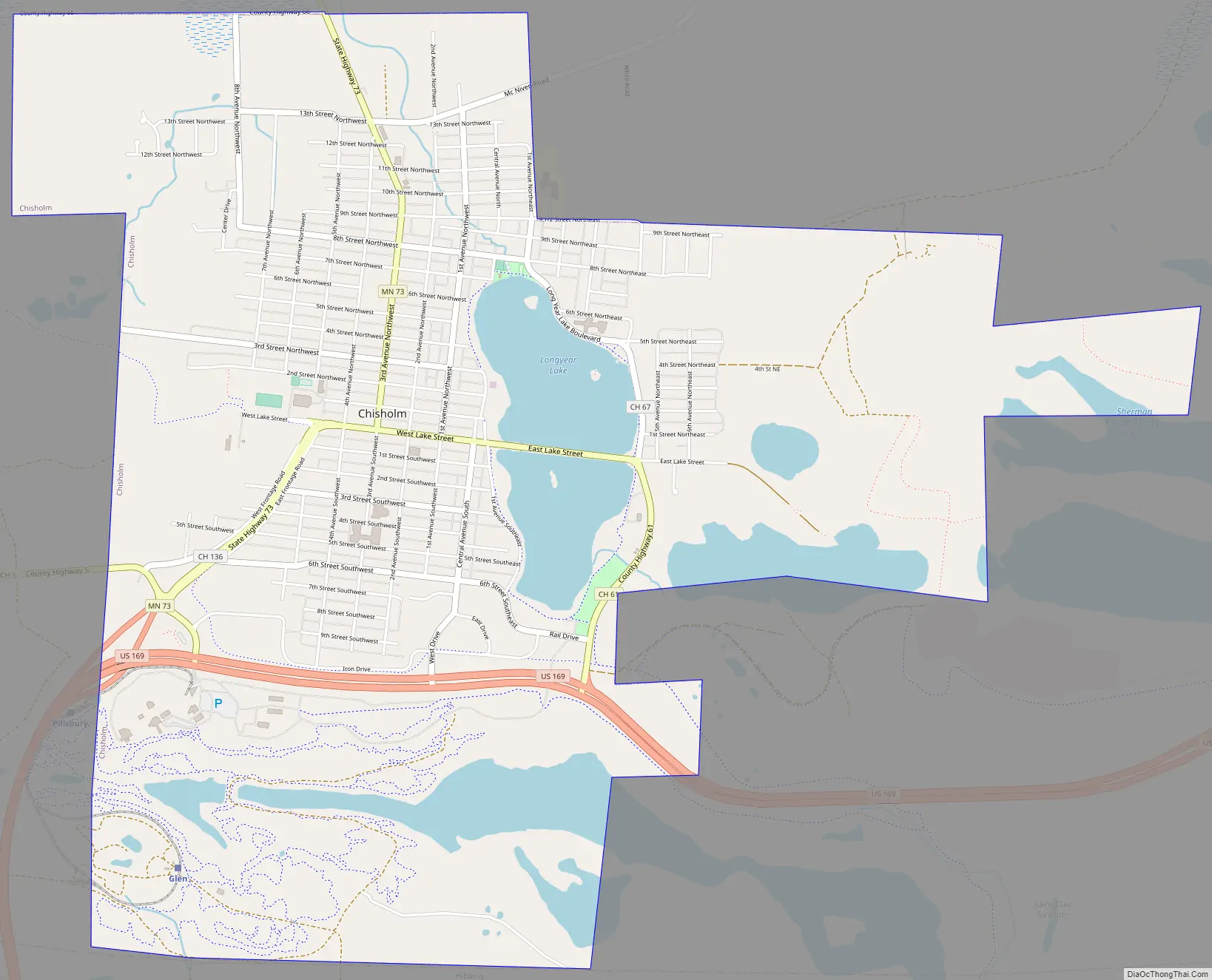
Chisholm Road Map
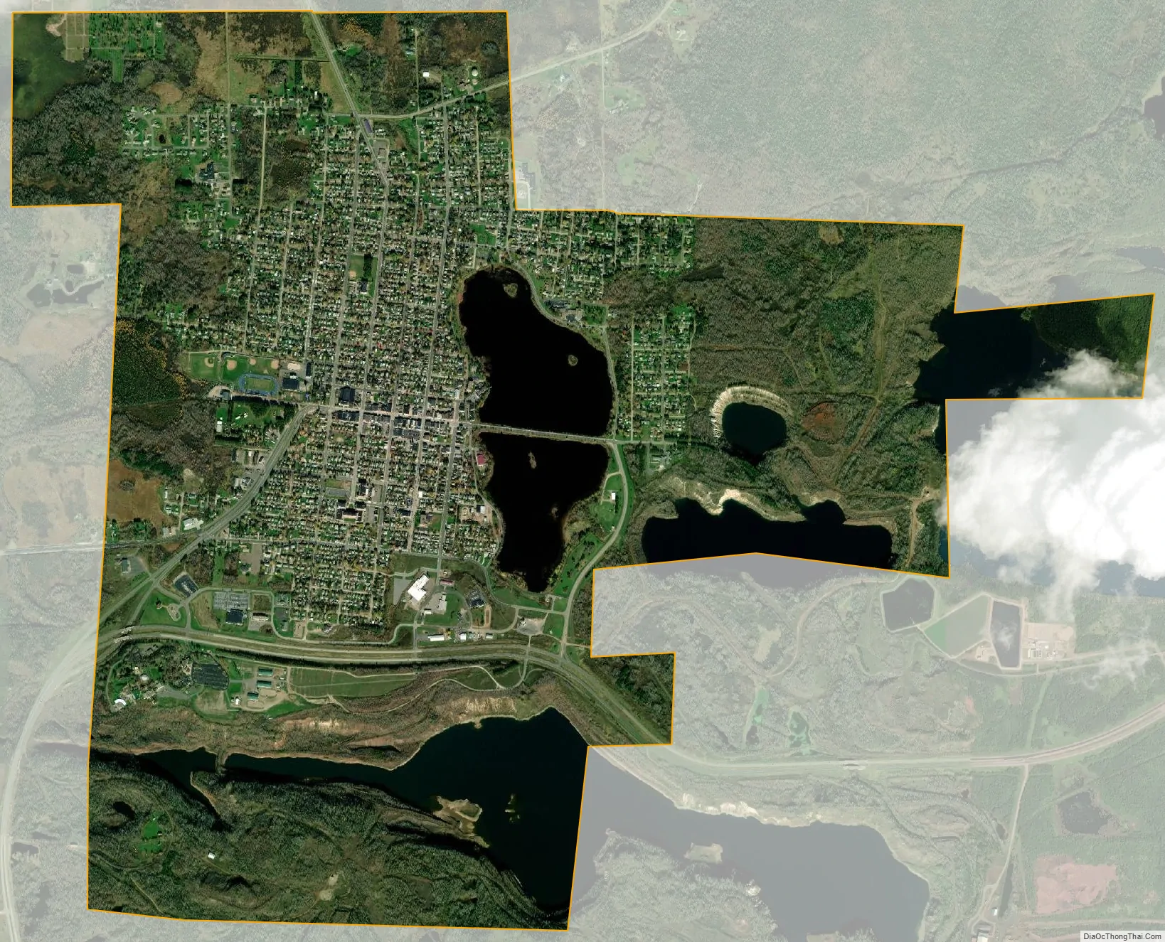
Chisholm city Satellite Map
Geography
According to the United States Census Bureau, the city has an area of 4.74 square miles (12.28 km); 4.48 square miles (11.60 km) is land and 0.26 square miles (0.67 km) is water.
Chisholm is in the center of the Mesabi Iron Range, one of the four iron ranges in Minnesota’s Arrowhead Region.
U.S. Highway 169 and State Highway 73 (MN 73) are two of Chisholm’s main routes.
See also
Map of Minnesota State and its subdivision:- Aitkin
- Anoka
- Becker
- Beltrami
- Benton
- Big Stone
- Blue Earth
- Brown
- Carlton
- Carver
- Cass
- Chippewa
- Chisago
- Clay
- Clearwater
- Cook
- Cottonwood
- Crow Wing
- Dakota
- Dodge
- Douglas
- Faribault
- Fillmore
- Freeborn
- Goodhue
- Grant
- Hennepin
- Houston
- Hubbard
- Isanti
- Itasca
- Jackson
- Kanabec
- Kandiyohi
- Kittson
- Koochiching
- Lac qui Parle
- Lake
- Lake of the Woods
- Lake Superior
- Le Sueur
- Lincoln
- Lyon
- Mahnomen
- Marshall
- Martin
- McLeod
- Meeker
- Mille Lacs
- Morrison
- Mower
- Murray
- Nicollet
- Nobles
- Norman
- Olmsted
- Otter Tail
- Pennington
- Pine
- Pipestone
- Polk
- Pope
- Ramsey
- Red Lake
- Redwood
- Renville
- Rice
- Rock
- Roseau
- Saint Louis
- Scott
- Sherburne
- Sibley
- Stearns
- Steele
- Stevens
- Swift
- Todd
- Traverse
- Wabasha
- Wadena
- Waseca
- Washington
- Watonwan
- Wilkin
- Winona
- Wright
- Yellow Medicine
- Alabama
- Alaska
- Arizona
- Arkansas
- California
- Colorado
- Connecticut
- Delaware
- District of Columbia
- Florida
- Georgia
- Hawaii
- Idaho
- Illinois
- Indiana
- Iowa
- Kansas
- Kentucky
- Louisiana
- Maine
- Maryland
- Massachusetts
- Michigan
- Minnesota
- Mississippi
- Missouri
- Montana
- Nebraska
- Nevada
- New Hampshire
- New Jersey
- New Mexico
- New York
- North Carolina
- North Dakota
- Ohio
- Oklahoma
- Oregon
- Pennsylvania
- Rhode Island
- South Carolina
- South Dakota
- Tennessee
- Texas
- Utah
- Vermont
- Virginia
- Washington
- West Virginia
- Wisconsin
- Wyoming