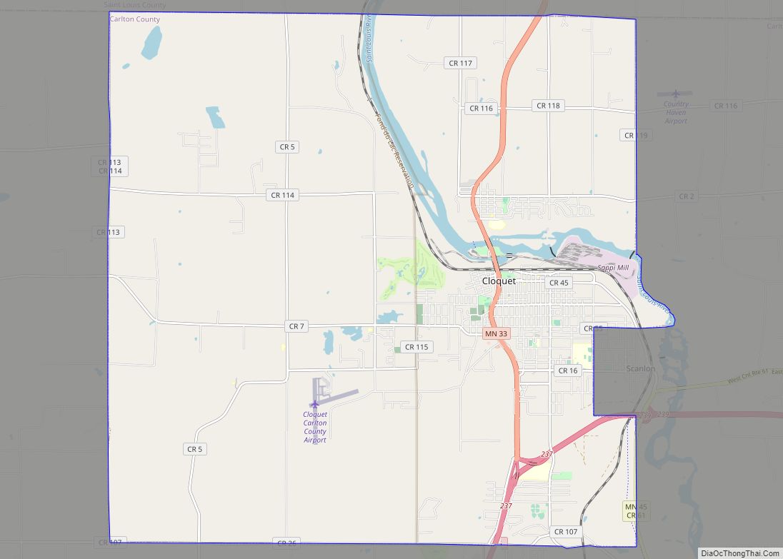
Cloquet (/kloʊˈkeɪ/ (listen) kloh-KAY) is a city in Carlton County, Minnesota, United States, at the junction of Interstate 35 and Minnesota State Highway 33. Part of the city lies within the Fond du Lac Indian Reservation and serves as one of the reservation’s three administrative centers. The population was 12,568 at the 2020 census.
| Name: | Cloquet city |
|---|---|
| LSAD Code: | 25 |
| LSAD Description: | city (suffix) |
| State: | Minnesota |
| County: | Carlton County |
| Elevation: | 1,204 ft (367 m) |
| Total Area: | 36.01 sq mi (93.27 km²) |
| Land Area: | 35.22 sq mi (91.21 km²) |
| Water Area: | 0.80 sq mi (2.06 km²) 2.14% |
| Total Population: | 12,568 |
| Population Density: | 356.87/sq mi (137.79/km²) |
| ZIP code: | 55720 |
| Area code: | 218 |
| FIPS code: | 2712160 |
| GNISfeature ID: | 0641345 |
| Website: | cloquetmn.gov |
Online Interactive Map
Click on ![]() to view map in "full screen" mode.
to view map in "full screen" mode.
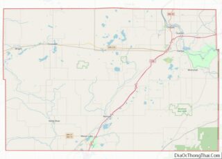
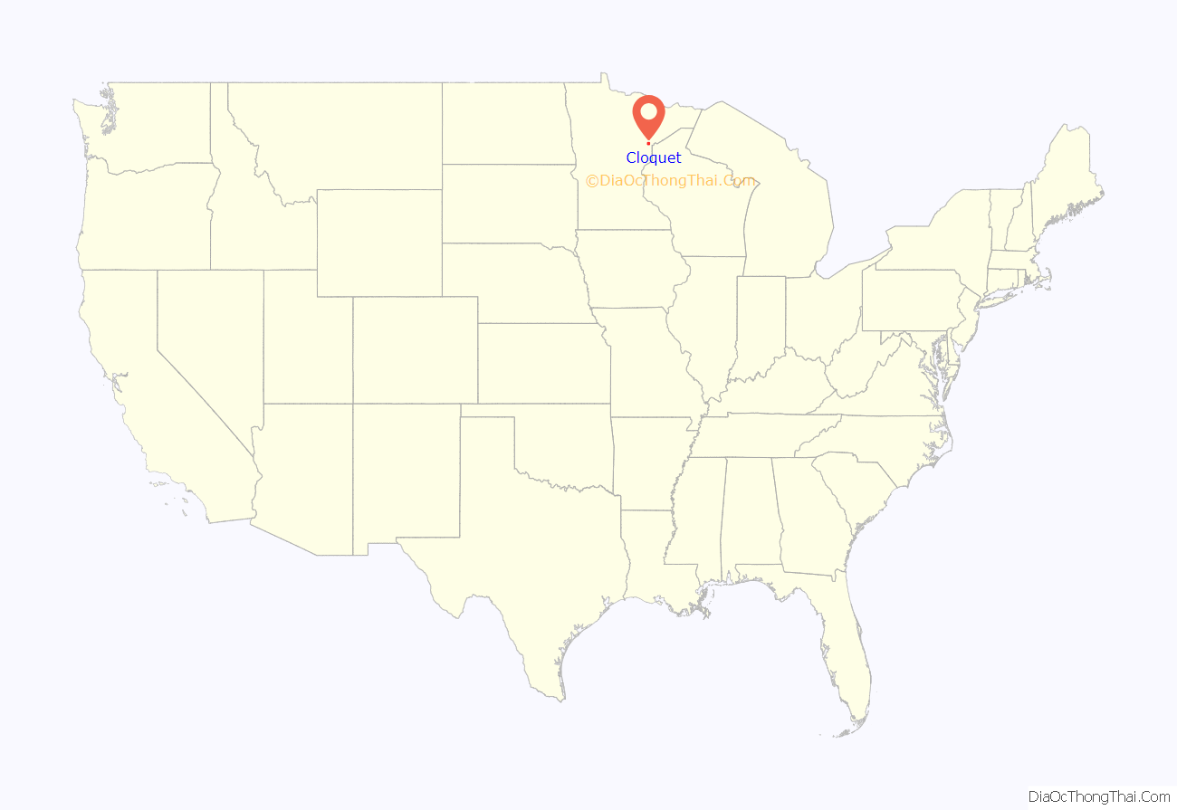
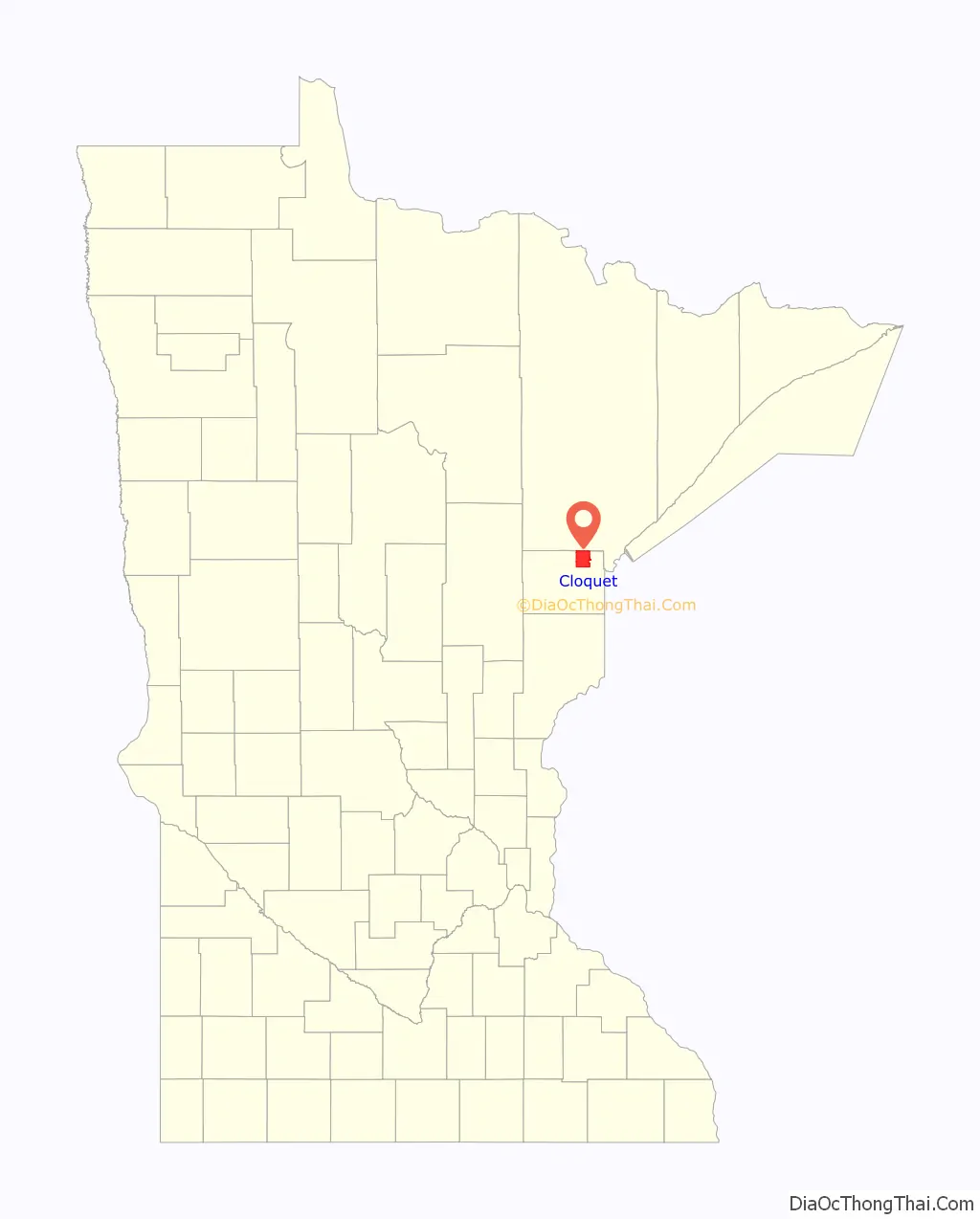
Cloquet location map. Where is Cloquet city?
History
Cloquet began as a group of small settlements around three sawmills: Shaw Town, Nelson Town, and Johnson Town. These became known as Knife Falls after a local waterfall over sharp slate rocks, and later as Cloquet. The Ojibwe in the area called the area Mookomaan-onigamiing, meaning “At the Knife Portage”, as the portage to avoid Knife Falls connected the three communities. The area was platted in 1883 and the village of Cloquet was incorporated from the three settlements in 1884. It became a city with a mayor and city council in 1904. The word “Cloquet” first appeared on an 1843 map of the area by Joseph N. Nicollet, which named the Cloquet River, a tributary of the Saint Louis River, and the Cloquet Rapids to the north. “Cloquet” is a French surname, but historians have found no source for it. Some speculate that the river was named for the 19th-century French scientists Hippolyte and Jules Cloquet, and the settlement named for the river.
The area was the site of the 1918 Cloquet Fire, which destroyed much of the town and killed approximately 500 people.
Cloquet is famed in American economic history because before and after World War II it was home of the nation’s strongest consumers cooperatives. The Cloquet Coöperative Society (founded in 1910) operated two cooperative stores, which handled food, hardware, shoes, dry goods, and furniture. Other cooperative services included a building supply store, a coal yard, a mortuary, an auto repair shop and a gas service station.
In 1939, the co-op did 35% of the business in the town, and 18% in Carlton County. By the mid-1950s, the consumer society had a membership of 4,262 out of a population of 8,500. This was a national record, given that the total business of all American co-ops combined represented only 0.5% of the economy. The Finnish cooperative groups of the area also had an influence on the American cooperative movement in general.
In the 1970s the area of the city was increased to over ten times what it had been in 1970. Despite this, the population of the city still declined from 1970 to 1980, even as the number of separate residences increased.
Architecture
Cloquet is home to the R.W. Lindholm Service Station, the only gas station designed by architect Frank Lloyd Wright and a structure now on the National Register of Historic Places.
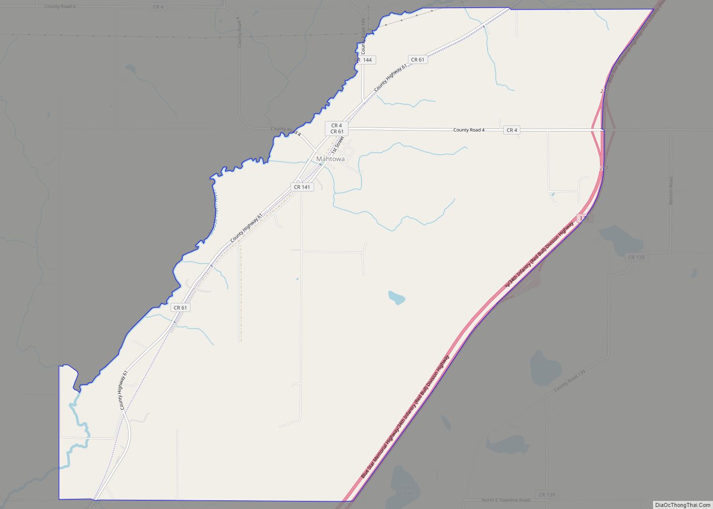
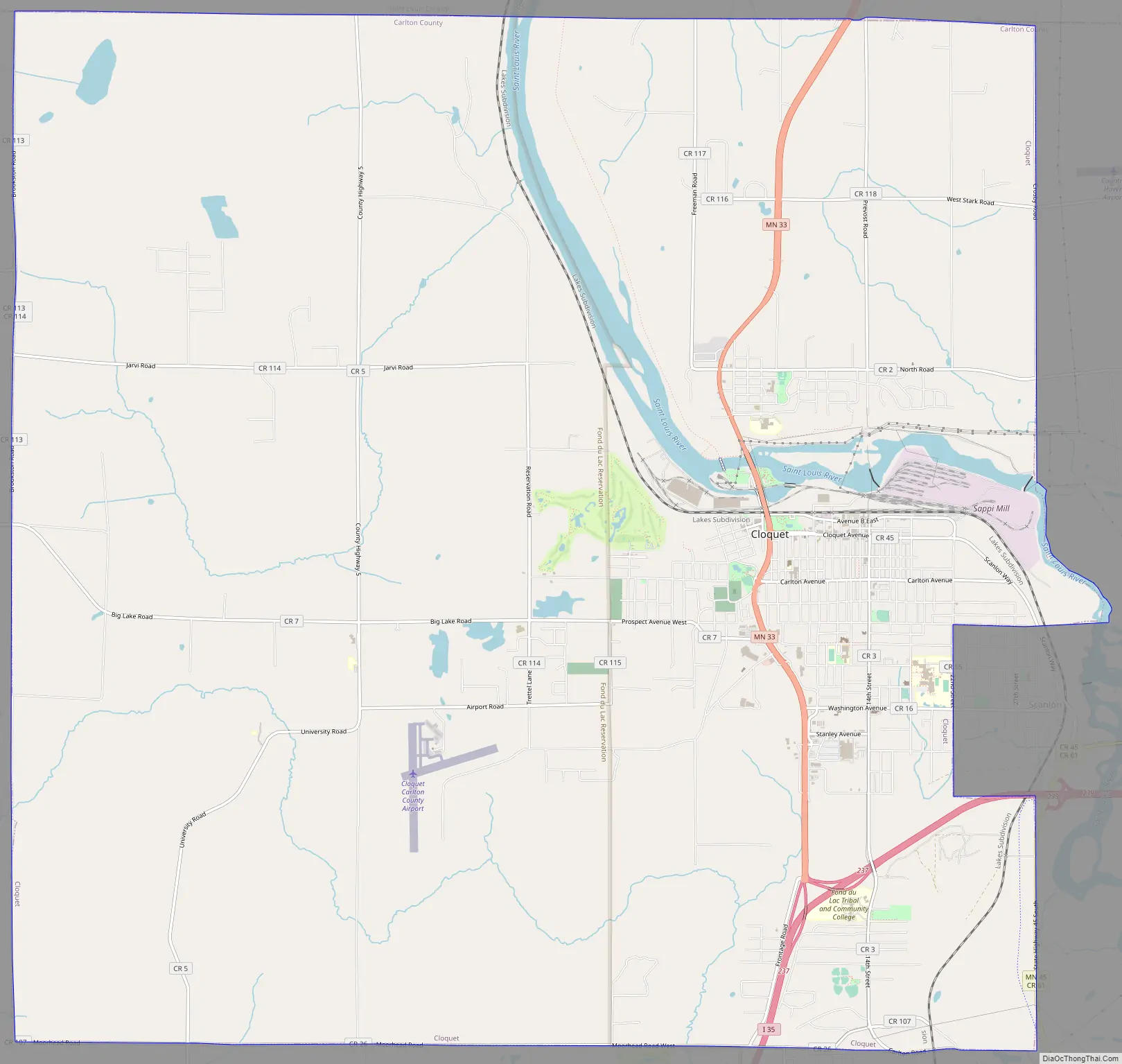
Cloquet Road Map
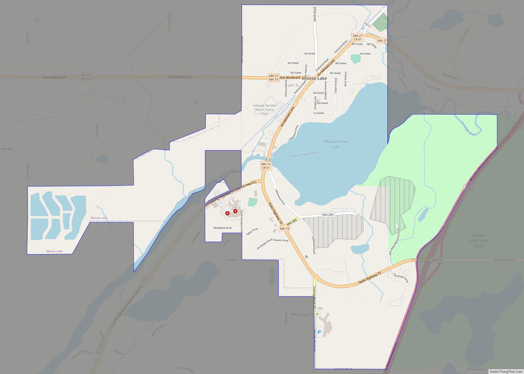
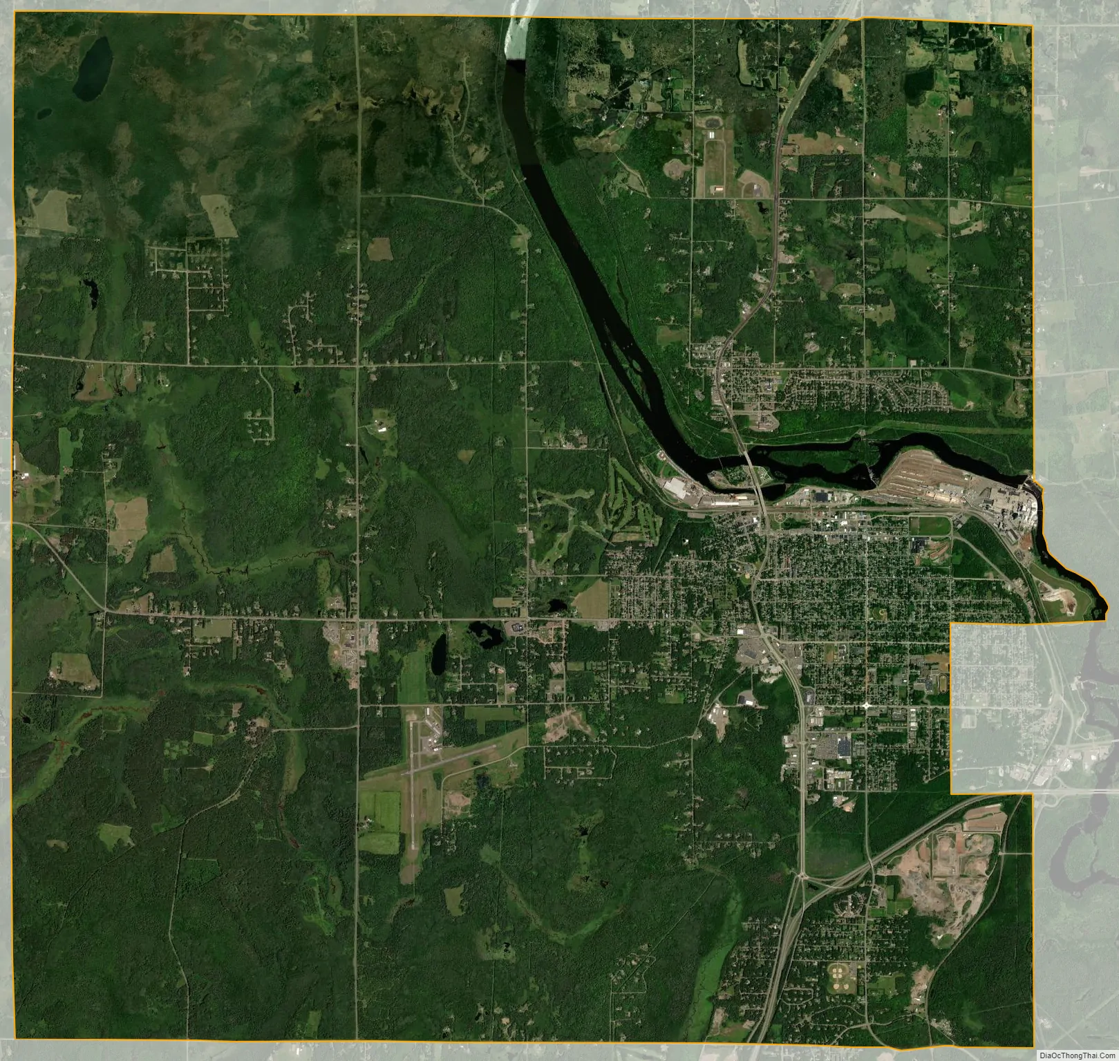
Cloquet city Satellite Map
Geography
According to the United States Census Bureau, the city has an area of 36.01 square miles (93.3 km), of which 35.22 square miles (91.2 km) is land and 0.8 square miles (2.1 km) is water.
Cloquet is along the Saint Louis River, 20 miles southwest of Duluth.
Climate
Cloquet has a Humid continental climate (Köppen Climate Classification Dfb) typical of its location in northern Minnesota, with warm summers and long, cold winters.
See also
Map of Minnesota State and its subdivision:- Aitkin
- Anoka
- Becker
- Beltrami
- Benton
- Big Stone
- Blue Earth
- Brown
- Carlton
- Carver
- Cass
- Chippewa
- Chisago
- Clay
- Clearwater
- Cook
- Cottonwood
- Crow Wing
- Dakota
- Dodge
- Douglas
- Faribault
- Fillmore
- Freeborn
- Goodhue
- Grant
- Hennepin
- Houston
- Hubbard
- Isanti
- Itasca
- Jackson
- Kanabec
- Kandiyohi
- Kittson
- Koochiching
- Lac qui Parle
- Lake
- Lake of the Woods
- Lake Superior
- Le Sueur
- Lincoln
- Lyon
- Mahnomen
- Marshall
- Martin
- McLeod
- Meeker
- Mille Lacs
- Morrison
- Mower
- Murray
- Nicollet
- Nobles
- Norman
- Olmsted
- Otter Tail
- Pennington
- Pine
- Pipestone
- Polk
- Pope
- Ramsey
- Red Lake
- Redwood
- Renville
- Rice
- Rock
- Roseau
- Saint Louis
- Scott
- Sherburne
- Sibley
- Stearns
- Steele
- Stevens
- Swift
- Todd
- Traverse
- Wabasha
- Wadena
- Waseca
- Washington
- Watonwan
- Wilkin
- Winona
- Wright
- Yellow Medicine
- Alabama
- Alaska
- Arizona
- Arkansas
- California
- Colorado
- Connecticut
- Delaware
- District of Columbia
- Florida
- Georgia
- Hawaii
- Idaho
- Illinois
- Indiana
- Iowa
- Kansas
- Kentucky
- Louisiana
- Maine
- Maryland
- Massachusetts
- Michigan
- Minnesota
- Mississippi
- Missouri
- Montana
- Nebraska
- Nevada
- New Hampshire
- New Jersey
- New Mexico
- New York
- North Carolina
- North Dakota
- Ohio
- Oklahoma
- Oregon
- Pennsylvania
- Rhode Island
- South Carolina
- South Dakota
- Tennessee
- Texas
- Utah
- Vermont
- Virginia
- Washington
- West Virginia
- Wisconsin
- Wyoming