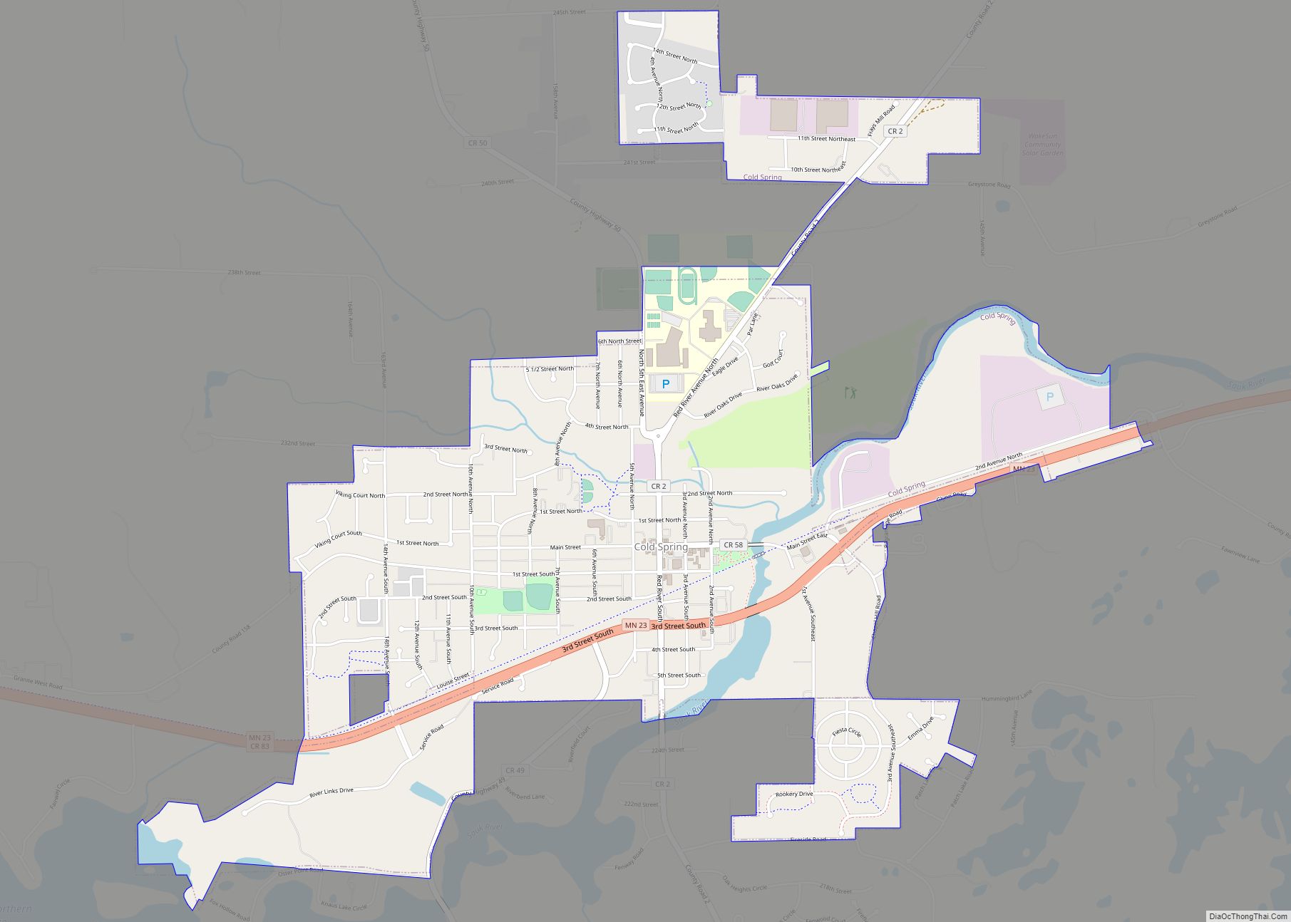
Cold Spring is a city in Stearns County, Minnesota, United States, at the gateway of the Sauk River Chain of Lakes, an interconnected system of 14 bay-like lakes fed and connected by the Sauk River. Cold Spring is part of the St. Cloud Metropolitan Statistical Area. Its population was 4,025 at the 2010 census.
| Name: | Cold Spring city |
|---|---|
| LSAD Code: | 25 |
| LSAD Description: | city (suffix) |
| State: | Minnesota |
| County: | Stearns County |
| Elevation: | 1,099 ft (335 m) |
| Total Area: | 2.85 sq mi (7.38 km²) |
| Land Area: | 2.80 sq mi (7.26 km²) |
| Water Area: | 0.05 sq mi (0.12 km²) |
| Total Population: | 4,164 |
| Population Density: | 1,485.02/sq mi (573.30/km²) |
| ZIP code: | 56320 |
| Area code: | 320 |
| FIPS code: | 2712484 |
| GNISfeature ID: | 0641388 |
| Website: | www.coldspring.govoffice.com |
Online Interactive Map
Click on ![]() to view map in "full screen" mode.
to view map in "full screen" mode.
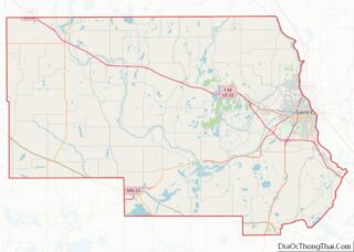
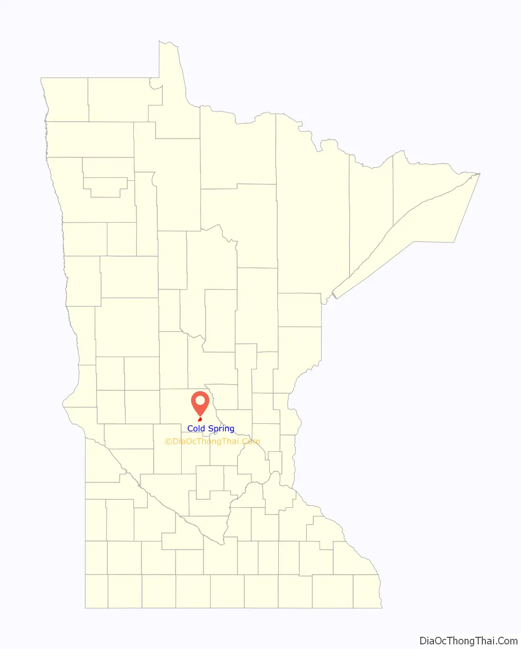
Cold Spring location map. Where is Cold Spring city?

History
Originally home to the Ojibwe, Winnebago, and Dakota people, Cold Spring was platted in 1856, and named for the many springs near the original town site. A post office has been in operation at Cold Spring since 1857.
German-speaking Catholics settled in the area, lured by the Slovenian missionary priest Francis Xavier Pierz, who had submitted letters and advertisements to the major German-language newspapers across the U.S., such as Der Wahrheitsfreund (The Friend of Truth), and in Europe, urging “good, pious” German Catholics to come to the Sauk River Valley, which he called a “land flowing with milk and honey” and safe from disease and anti-Catholic oppression.
During the grasshopper plagues of the 1870s, Assumption Chapel, also known as the Grasshopper Chapel, was built in petition for relief from the locusts.
Cold Spring has three properties on the National Register of Historic Places: the John Oster House and Ferdinand Peters House, both built in 1907, and the Eugene Hermanutz House, built in 1912.
The city was thrust in the national spotlight on September 24, 2003, when then 15-year-old Jason McLaughlin shot and killed two classmates in the Rocori High School shooting.
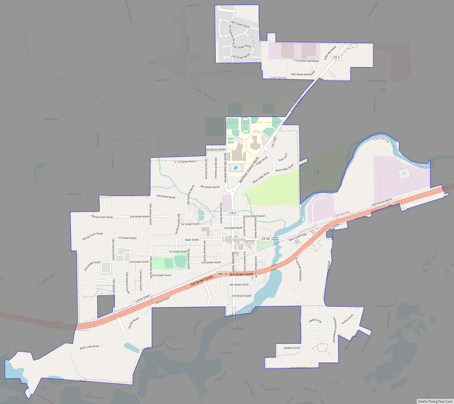
Cold Spring Road Map
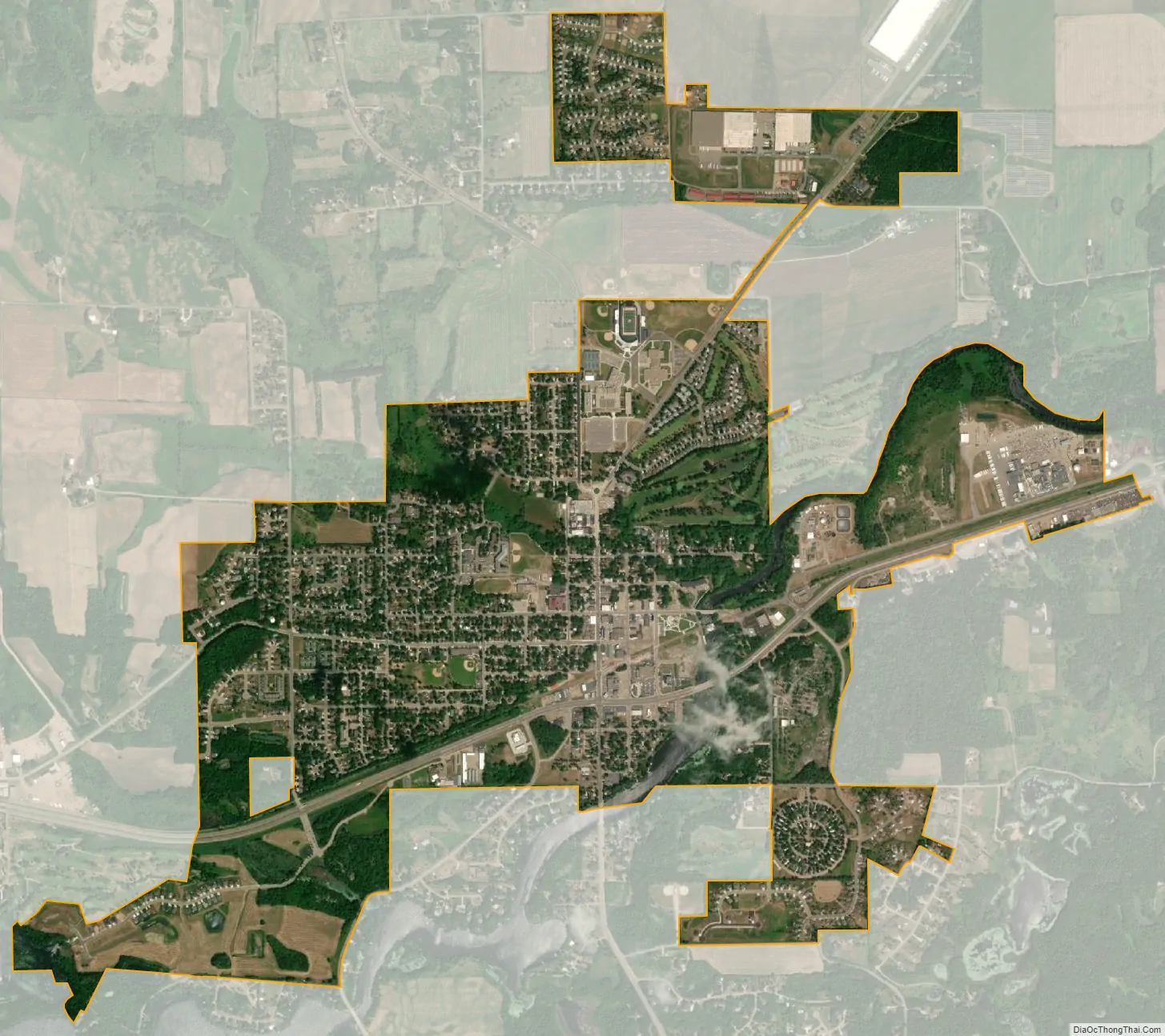
Cold Spring city Satellite Map
Geography
According to the United States Census Bureau, the city has an area of 2.70 square miles (6.99 km); 2.67 square miles (6.92 km) is land and 0.03 square miles (0.08 km) is water. The Sauk River bisects Cold Spring from the southwest.
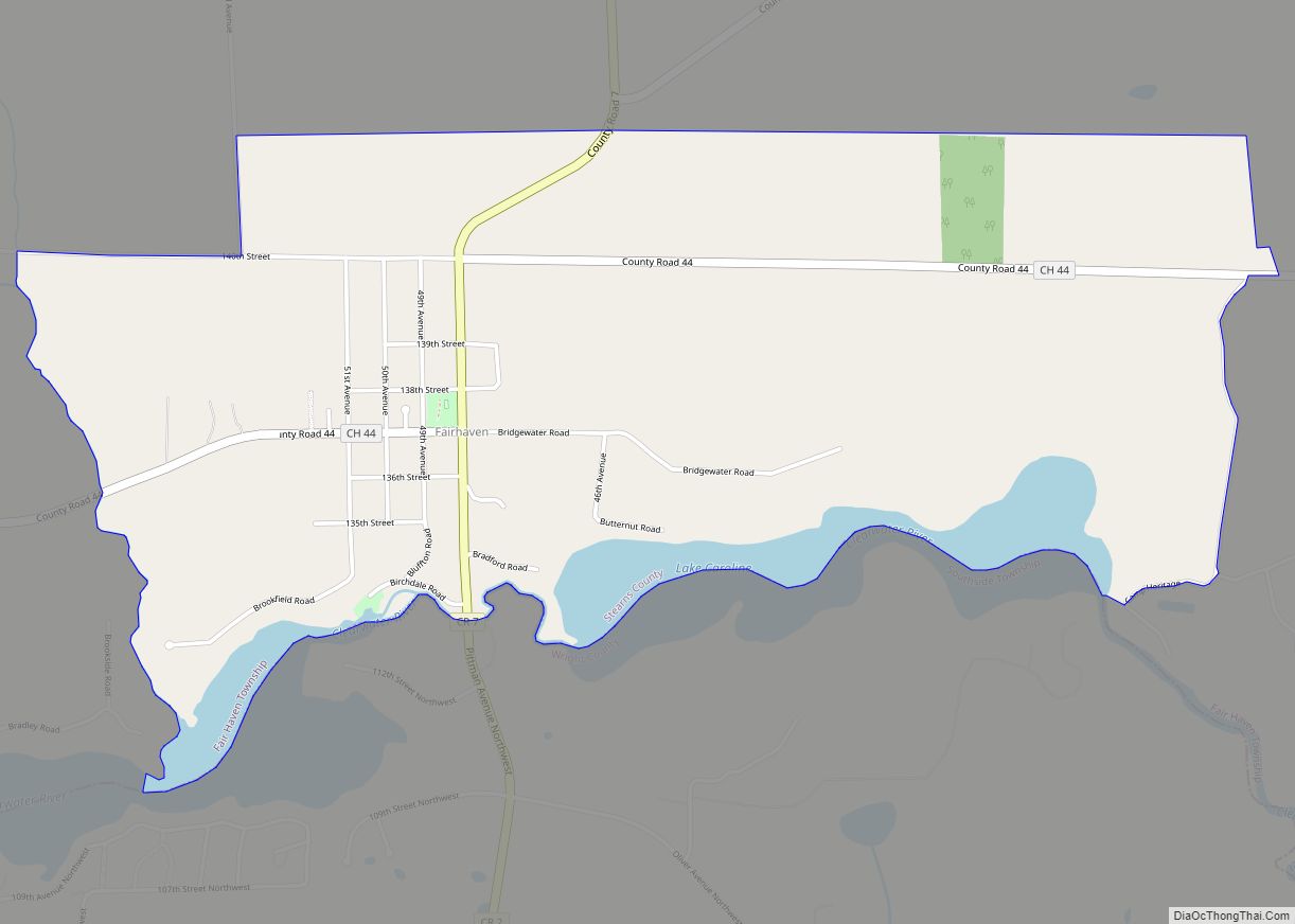
Cold Spring is in Wakefield Township geographically but is a separate entity.
See also
Map of Minnesota State and its subdivision:- Aitkin
- Anoka
- Becker
- Beltrami
- Benton
- Big Stone
- Blue Earth
- Brown
- Carlton
- Carver
- Cass
- Chippewa
- Chisago
- Clay
- Clearwater
- Cook
- Cottonwood
- Crow Wing
- Dakota
- Dodge
- Douglas
- Faribault
- Fillmore
- Freeborn
- Goodhue
- Grant
- Hennepin
- Houston
- Hubbard
- Isanti
- Itasca
- Jackson
- Kanabec
- Kandiyohi
- Kittson
- Koochiching
- Lac qui Parle
- Lake
- Lake of the Woods
- Lake Superior
- Le Sueur
- Lincoln
- Lyon
- Mahnomen
- Marshall
- Martin
- McLeod
- Meeker
- Mille Lacs
- Morrison
- Mower
- Murray
- Nicollet
- Nobles
- Norman
- Olmsted
- Otter Tail
- Pennington
- Pine
- Pipestone
- Polk
- Pope
- Ramsey
- Red Lake
- Redwood
- Renville
- Rice
- Rock
- Roseau
- Saint Louis
- Scott
- Sherburne
- Sibley
- Stearns
- Steele
- Stevens
- Swift
- Todd
- Traverse
- Wabasha
- Wadena
- Waseca
- Washington
- Watonwan
- Wilkin
- Winona
- Wright
- Yellow Medicine
- Alabama
- Alaska
- Arizona
- Arkansas
- California
- Colorado
- Connecticut
- Delaware
- District of Columbia
- Florida
- Georgia
- Hawaii
- Idaho
- Illinois
- Indiana
- Iowa
- Kansas
- Kentucky
- Louisiana
- Maine
- Maryland
- Massachusetts
- Michigan
- Minnesota
- Mississippi
- Missouri
- Montana
- Nebraska
- Nevada
- New Hampshire
- New Jersey
- New Mexico
- New York
- North Carolina
- North Dakota
- Ohio
- Oklahoma
- Oregon
- Pennsylvania
- Rhode Island
- South Carolina
- South Dakota
- Tennessee
- Texas
- Utah
- Vermont
- Virginia
- Washington
- West Virginia
- Wisconsin
- Wyoming