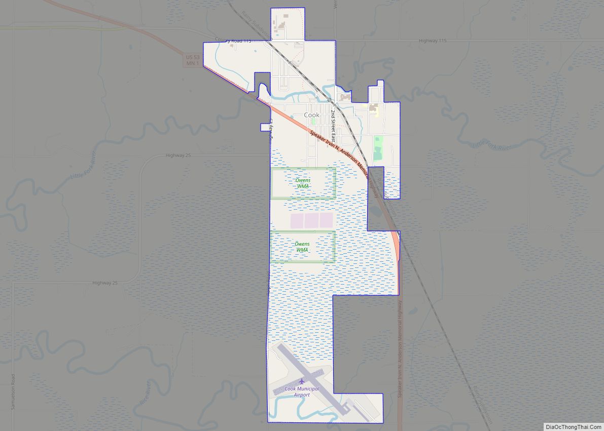
Cook is a city in Saint Louis County, Minnesota, United States. The population was 515 at the 2010 census.
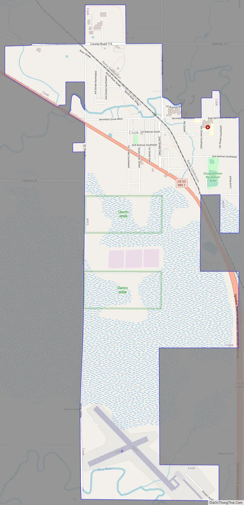
U.S. Highway 53 and State Highway 1 (MN 1) are the two main routes through the city. Cook serves as the gateway to the western half of Lake Vermilion.
| Name: | Cook city |
|---|---|
| LSAD Code: | 25 |
| LSAD Description: | city (suffix) |
| State: | Minnesota |
| County: | St. Louis County |
| Elevation: | 1,306 ft (398 m) |
| Total Area: | 2.60 sq mi (6.73 km²) |
| Land Area: | 2.60 sq mi (6.73 km²) |
| Water Area: | 0.00 sq mi (0.00 km²) |
| Total Population: | 534 |
| Population Density: | 205.38/sq mi (79.30/km²) |
| ZIP code: | 55723 |
| Area code: | 218 |
| FIPS code: | 2713006 |
| GNISfeature ID: | 0661042 |
Online Interactive Map
Click on ![]() to view map in "full screen" mode.
to view map in "full screen" mode.
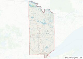
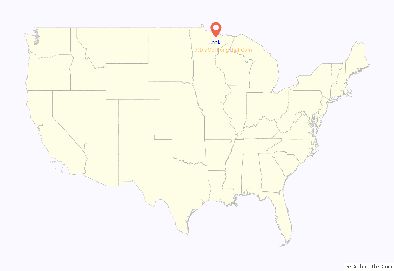
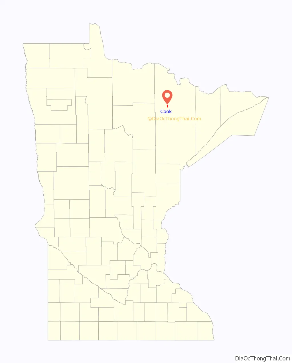
Cook location map. Where is Cook city?
History
The city of Cook was known initially as Little Fork, because of the river of the same name that runs through the city, later known as Ashawa, which means “by the river or across the river”; its name was changed to Cook on August 1, 1908, at the request of the U.S. Postal Service “because of confusion with a village in southern Minnesota named Oshawa”. The town was named in honor of Wirth Cook, an owner of the railroad that was constructed through Cook in 1903 and 1904. Cook was incorporated on May 13, 1926.
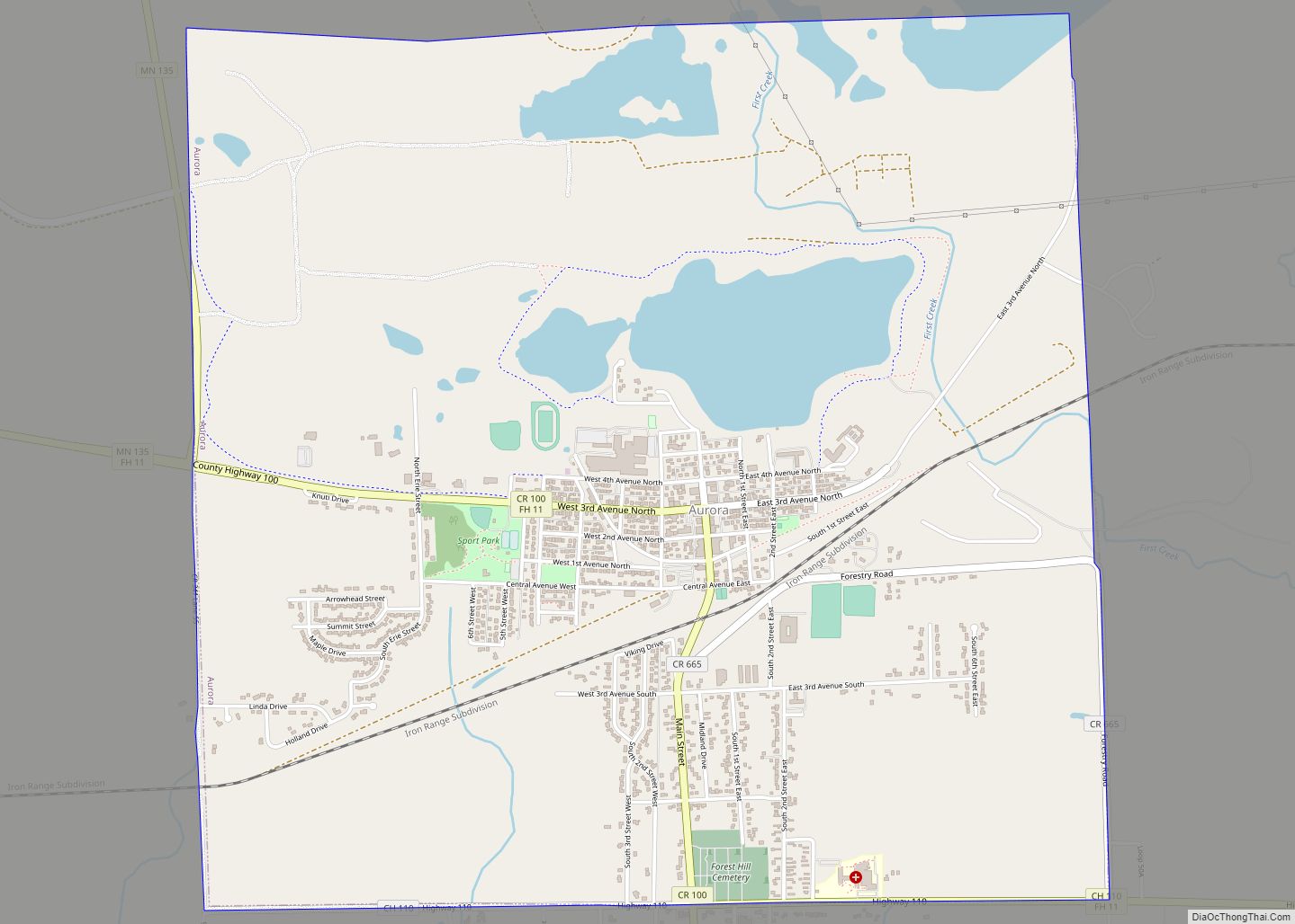
Cook Road Map
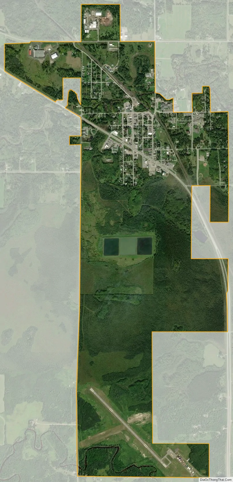
Cook city Satellite Map
Geography
According to the United States Census Bureau, the city has an area of 2.53 square miles (6.55 km), all land.
See also
Map of Minnesota State and its subdivision:- Aitkin
- Anoka
- Becker
- Beltrami
- Benton
- Big Stone
- Blue Earth
- Brown
- Carlton
- Carver
- Cass
- Chippewa
- Chisago
- Clay
- Clearwater
- Cook
- Cottonwood
- Crow Wing
- Dakota
- Dodge
- Douglas
- Faribault
- Fillmore
- Freeborn
- Goodhue
- Grant
- Hennepin
- Houston
- Hubbard
- Isanti
- Itasca
- Jackson
- Kanabec
- Kandiyohi
- Kittson
- Koochiching
- Lac qui Parle
- Lake
- Lake of the Woods
- Lake Superior
- Le Sueur
- Lincoln
- Lyon
- Mahnomen
- Marshall
- Martin
- McLeod
- Meeker
- Mille Lacs
- Morrison
- Mower
- Murray
- Nicollet
- Nobles
- Norman
- Olmsted
- Otter Tail
- Pennington
- Pine
- Pipestone
- Polk
- Pope
- Ramsey
- Red Lake
- Redwood
- Renville
- Rice
- Rock
- Roseau
- Saint Louis
- Scott
- Sherburne
- Sibley
- Stearns
- Steele
- Stevens
- Swift
- Todd
- Traverse
- Wabasha
- Wadena
- Waseca
- Washington
- Watonwan
- Wilkin
- Winona
- Wright
- Yellow Medicine
- Alabama
- Alaska
- Arizona
- Arkansas
- California
- Colorado
- Connecticut
- Delaware
- District of Columbia
- Florida
- Georgia
- Hawaii
- Idaho
- Illinois
- Indiana
- Iowa
- Kansas
- Kentucky
- Louisiana
- Maine
- Maryland
- Massachusetts
- Michigan
- Minnesota
- Mississippi
- Missouri
- Montana
- Nebraska
- Nevada
- New Hampshire
- New Jersey
- New Mexico
- New York
- North Carolina
- North Dakota
- Ohio
- Oklahoma
- Oregon
- Pennsylvania
- Rhode Island
- South Carolina
- South Dakota
- Tennessee
- Texas
- Utah
- Vermont
- Virginia
- Washington
- West Virginia
- Wisconsin
- Wyoming