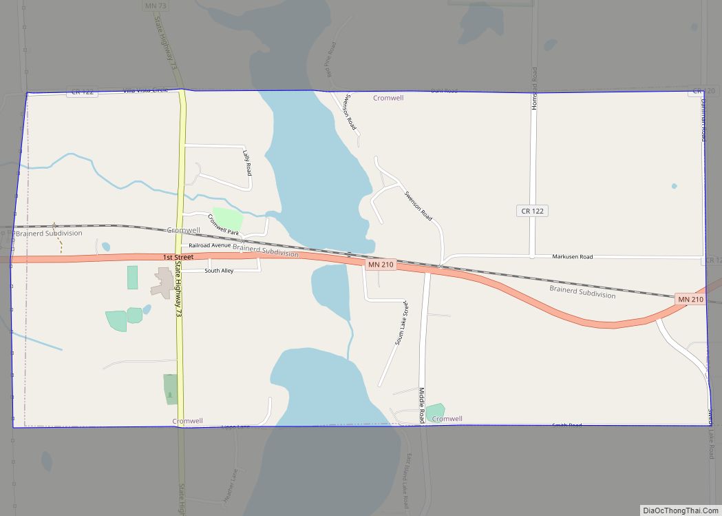
Cromwell is a city in Carlton County, Minnesota, United States. The population was 234 at the 2010 census.
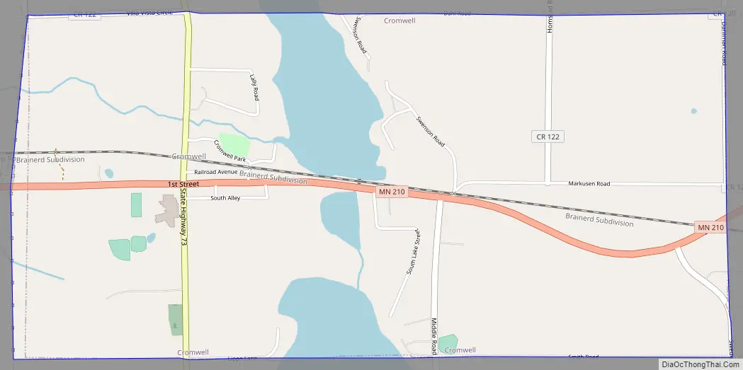
Cromwell is located along Minnesota State Highways 73 and 210.
| Name: | Cromwell city |
|---|---|
| LSAD Code: | 25 |
| LSAD Description: | city (suffix) |
| State: | Minnesota |
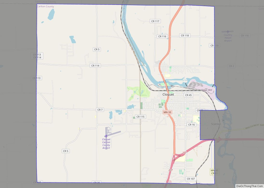
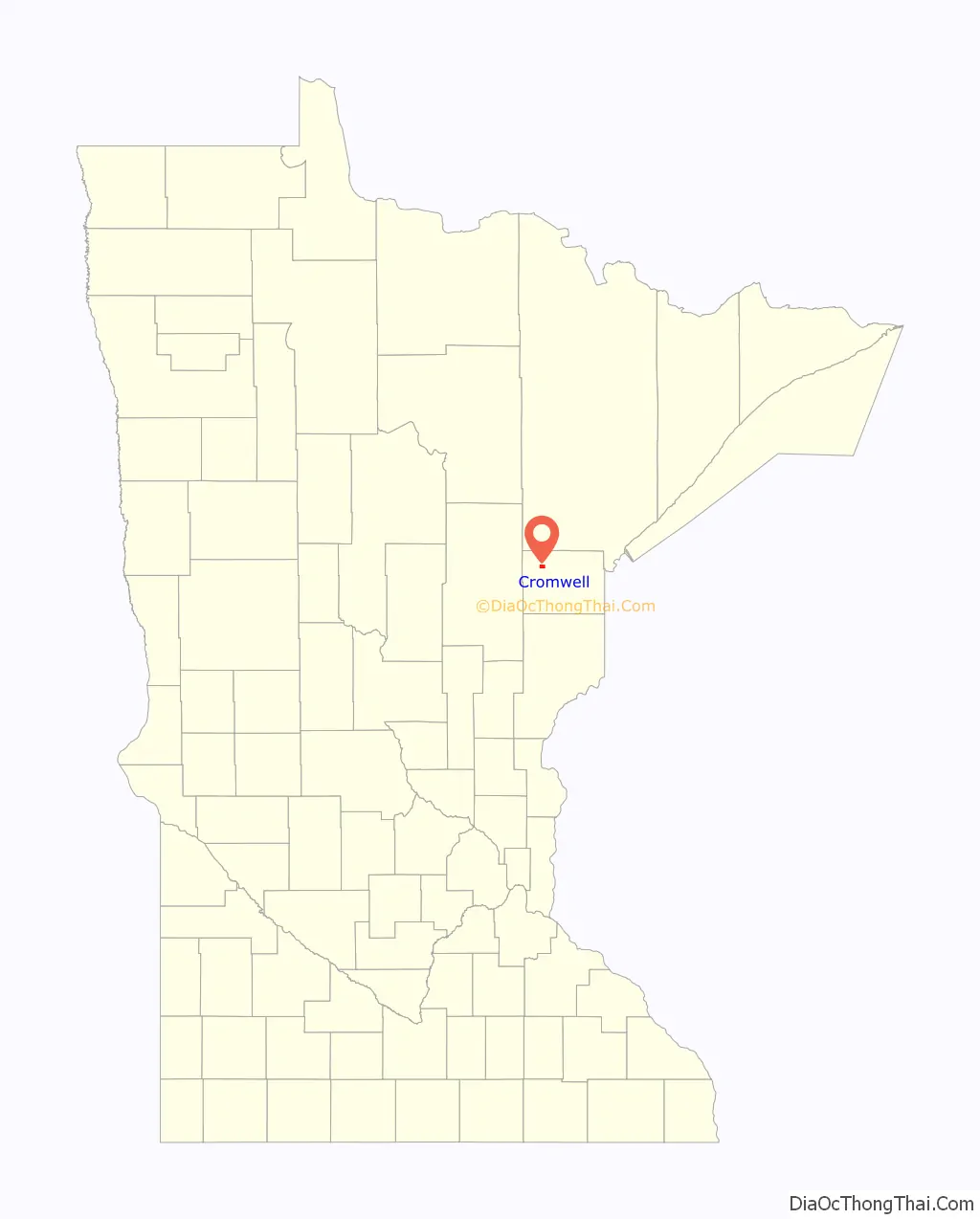
| County: | Carlton County |
| Elevation: | 1,312 ft (400 m) |
| Total Area: | 2.03 sq mi (5.26 km²) |
| Land Area: | 1.84 sq mi (4.76 km²) |
| Water Area: | 0.19 sq mi (0.49 km²) |
| Total Population: | 240 |
| Population Density: | 130.51/sq mi (50.39/km²) |
| ZIP code: | 55726 |
| Area code: | 218 |
| FIPS code: | 2713780 |
| GNISfeature ID: | 0642448 |
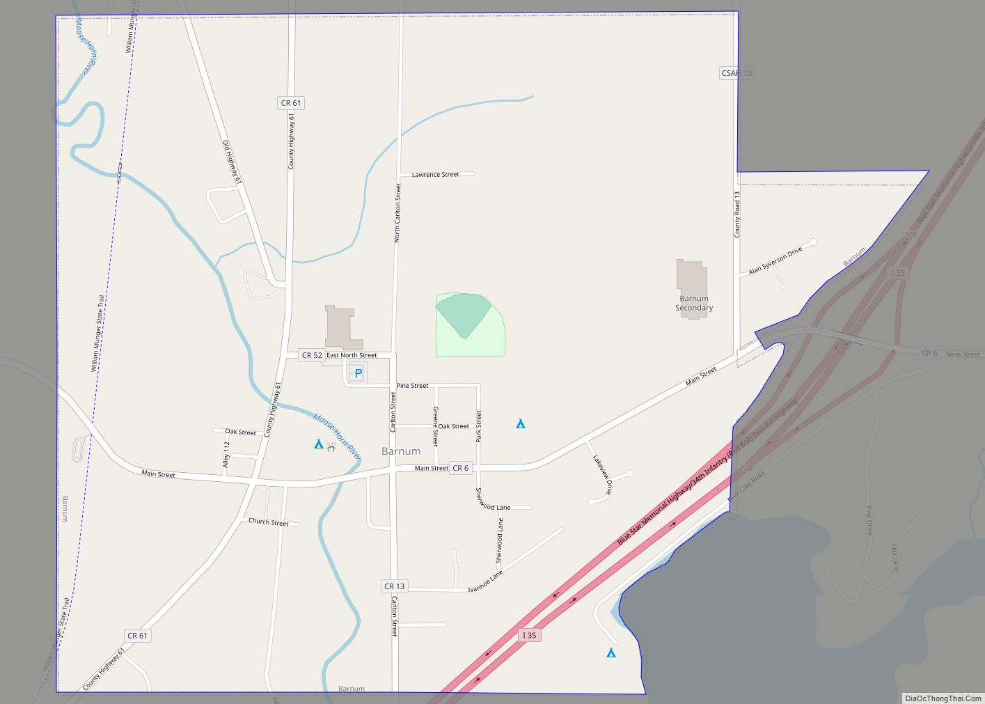
Online Interactive Map
Click on ![]() to view map in "full screen" mode.
to view map in "full screen" mode.
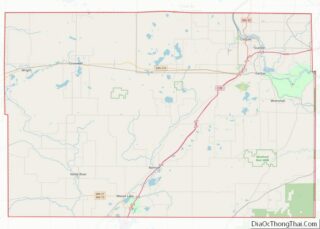
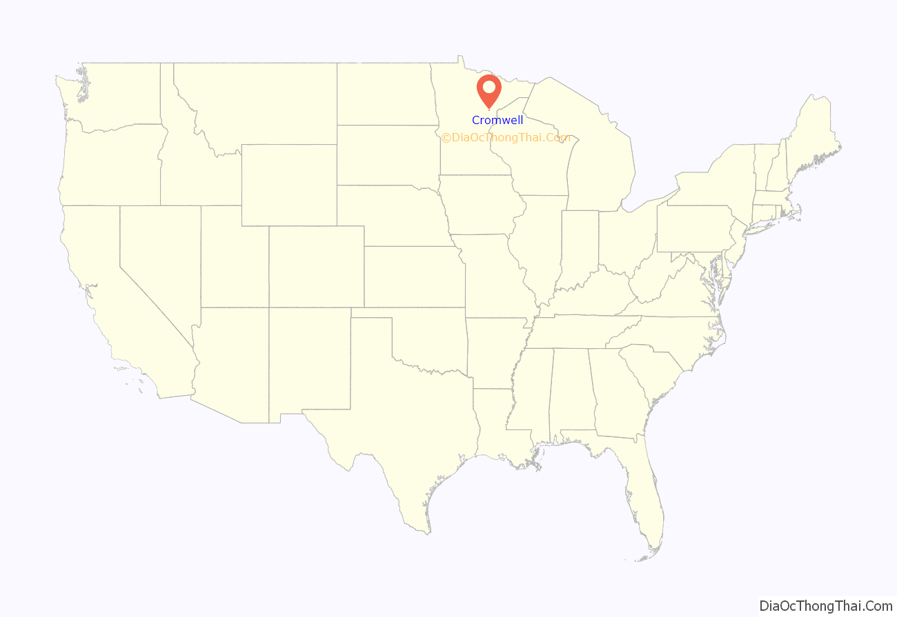
Cromwell location map. Where is Cromwell city?
History
The post office was established at Cromwell in 1882. Cromwell was organized in 1891, receiving its name from the Northern Pacific Railway. Cromwell was incorporated in 1903.
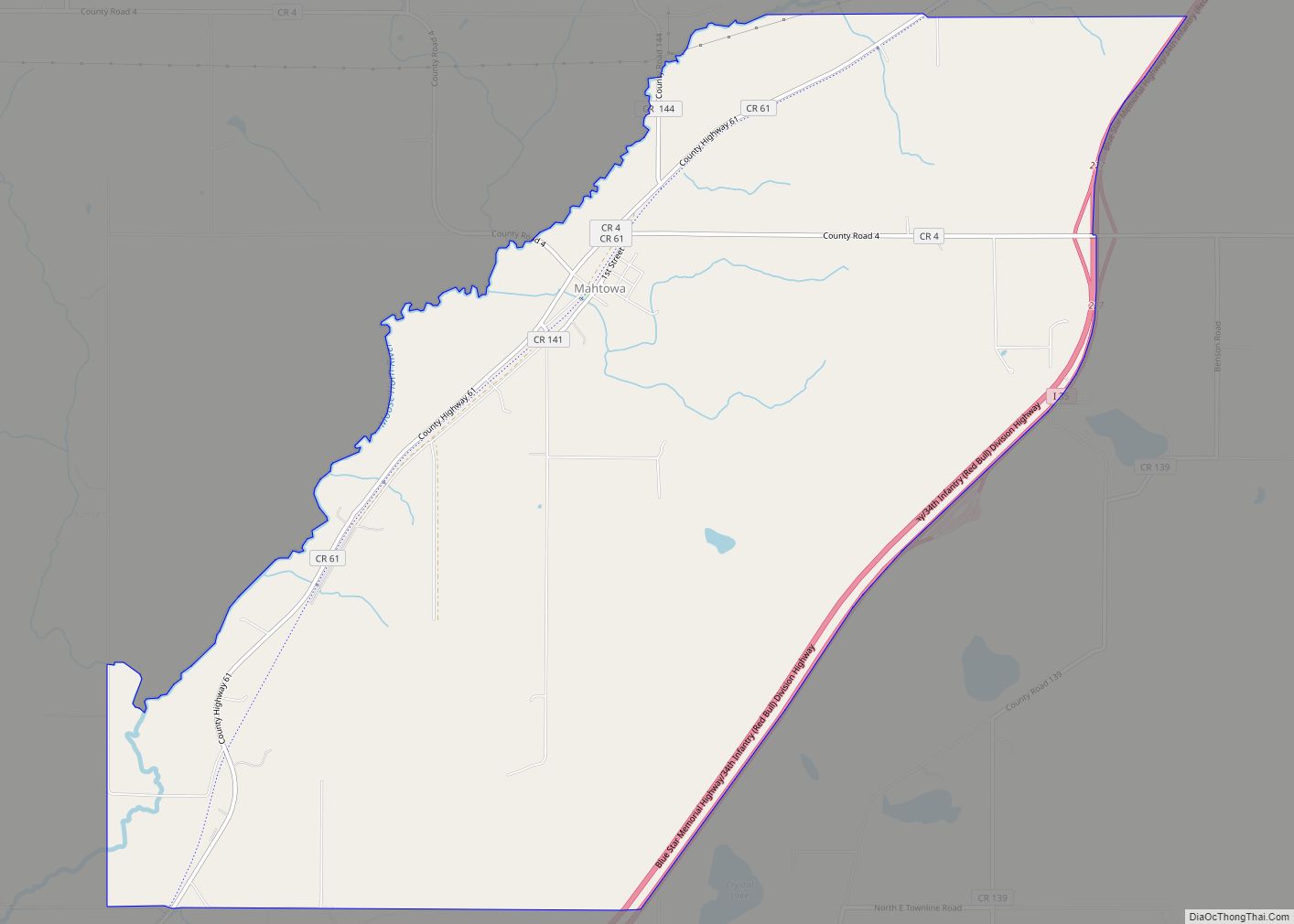
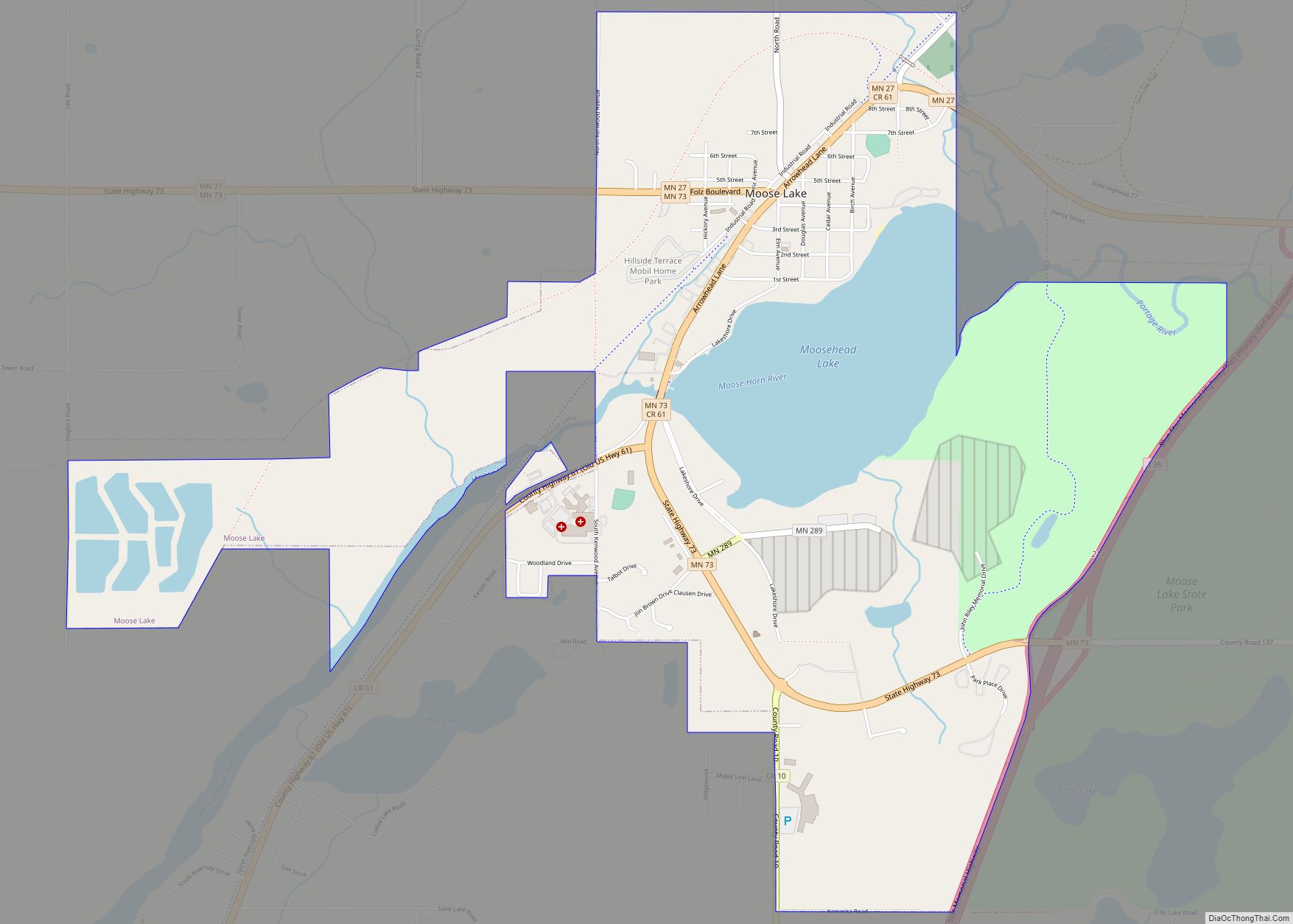
Cromwell Road Map
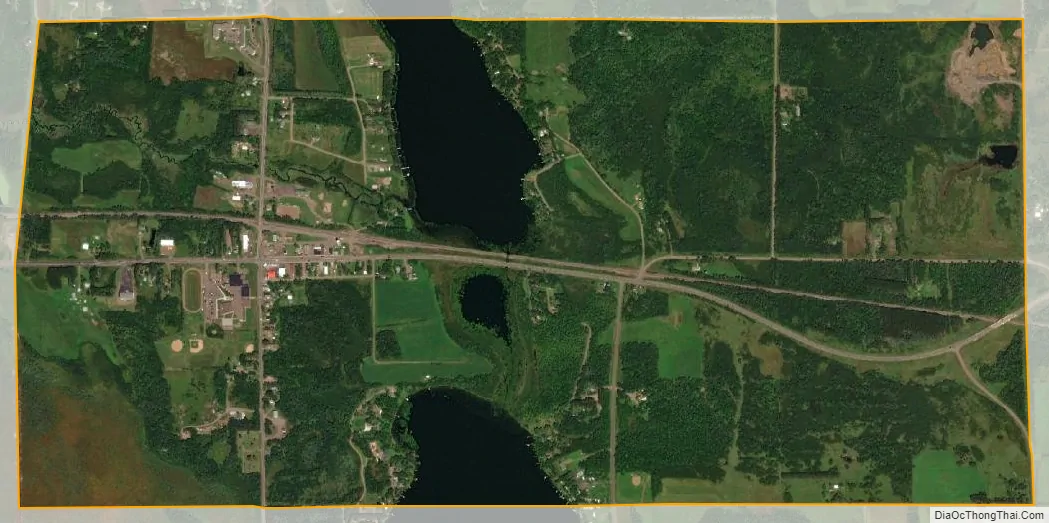
Cromwell city Satellite Map
Geography
According to the United States Census Bureau, the city has a total area of 2.01 square miles (5.21 km), of which 1.84 square miles (4.77 km) is land and 0.17 square miles (0.44 km) is water.
Cromwell is 22 miles west of Cloquet. Cromwell is 40 miles west-southwest of Duluth, and 22 miles north of Moose Lake.
See also
Map of Minnesota State and its subdivision:- Aitkin
- Anoka
- Becker
- Beltrami
- Benton
- Big Stone
- Blue Earth
- Brown
- Carlton
- Carver
- Cass
- Chippewa
- Chisago
- Clay
- Clearwater
- Cook
- Cottonwood
- Crow Wing
- Dakota
- Dodge
- Douglas
- Faribault
- Fillmore
- Freeborn
- Goodhue
- Grant
- Hennepin
- Houston
- Hubbard
- Isanti
- Itasca
- Jackson
- Kanabec
- Kandiyohi
- Kittson
- Koochiching
- Lac qui Parle
- Lake
- Lake of the Woods
- Lake Superior
- Le Sueur
- Lincoln
- Lyon
- Mahnomen
- Marshall
- Martin
- McLeod
- Meeker
- Mille Lacs
- Morrison
- Mower
- Murray
- Nicollet
- Nobles
- Norman
- Olmsted
- Otter Tail
- Pennington
- Pine
- Pipestone
- Polk
- Pope
- Ramsey
- Red Lake
- Redwood
- Renville
- Rice
- Rock
- Roseau
- Saint Louis
- Scott
- Sherburne
- Sibley
- Stearns
- Steele
- Stevens
- Swift
- Todd
- Traverse
- Wabasha
- Wadena
- Waseca
- Washington
- Watonwan
- Wilkin
- Winona
- Wright
- Yellow Medicine
- Alabama
- Alaska
- Arizona
- Arkansas
- California
- Colorado
- Connecticut
- Delaware
- District of Columbia
- Florida
- Georgia
- Hawaii
- Idaho
- Illinois
- Indiana
- Iowa
- Kansas
- Kentucky
- Louisiana
- Maine
- Maryland
- Massachusetts
- Michigan
- Minnesota
- Mississippi
- Missouri
- Montana
- Nebraska
- Nevada
- New Hampshire
- New Jersey
- New Mexico
- New York
- North Carolina
- North Dakota
- Ohio
- Oklahoma
- Oregon
- Pennsylvania
- Rhode Island
- South Carolina
- South Dakota
- Tennessee
- Texas
- Utah
- Vermont
- Virginia
- Washington
- West Virginia
- Wisconsin
- Wyoming