Crosby is a city in Crow Wing County, Minnesota, United States. The population was 2,386 at the 2010 census. It is part of the Brainerd Micropolitan Statistical Area. Crosby is adjacent to its twin city of Ironton, in the Cuyuna iron range.
| Name: | Crosby city |
|---|---|
| LSAD Code: | 25 |
| LSAD Description: | city (suffix) |
| State: | Minnesota |
| County: | Crow Wing County |
| Elevation: | 1,260 ft (380 m) |
| Total Area: | 3.73 sq mi (9.66 km²) |
| Land Area: | 2.96 sq mi (7.65 km²) |
| Water Area: | 0.77 sq mi (2.01 km²) |
| Total Population: | 2,360 |
| Population Density: | 798.65/sq mi (308.31/km²) |
| ZIP code: | 56441 |
| Area code: | 218 |
| FIPS code: | 2713924 |
| GNISfeature ID: | 0642478 |
| Website: | www.crosbymn.govoffice3.com |
Online Interactive Map
Click on ![]() to view map in "full screen" mode.
to view map in "full screen" mode.
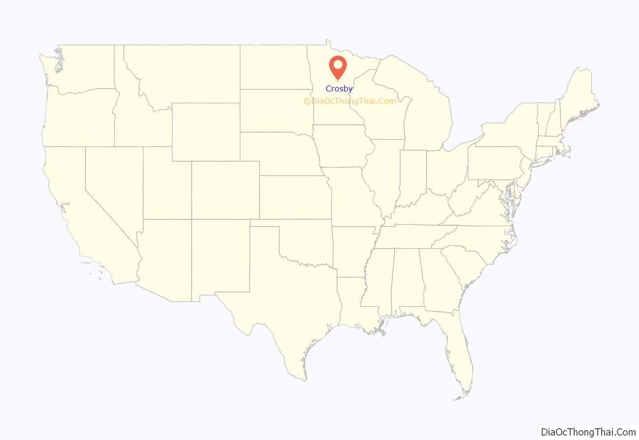
Crosby location map. Where is Crosby city?
History
Crosby was built for the sole purpose of mining. It was named for George H. Crosby, a businessman in the mining industry.
Crosby was the location of Minnesota’s worst mining disaster, the Milford Mine disaster. On February 5, 1924, a new tunnel was blasted too close to nearby Foley Lake, and water rushed in, killing 41 miners.
In the 1932 local elections, Karl Emil Nygard was elected president of Crosby’s Village Council, making it the first city in the United States to have a Communist mayor.
In August 1957, David G. Simons, a 35-year-old Air Force major, climbed to nearly 102,000 feet (31,000 m) above the earth as part of Project Manhigh. The flight, which was launched from Crosby’s 400-foot-deep (120 m) Portsmouth Mine Pit Lake, helped the United States take its fledgling steps into space exploration. Simons returned to Crosby in 2007 to mark the 50th anniversary of the project.
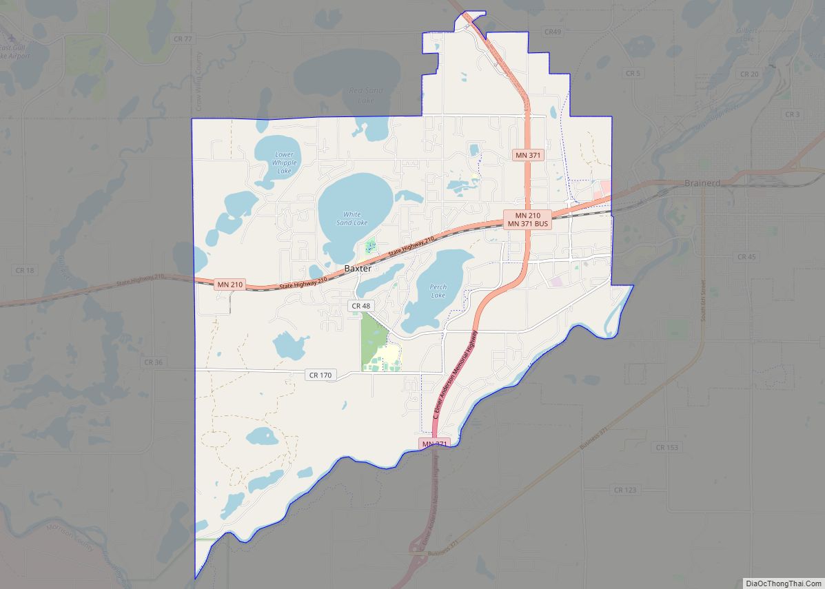
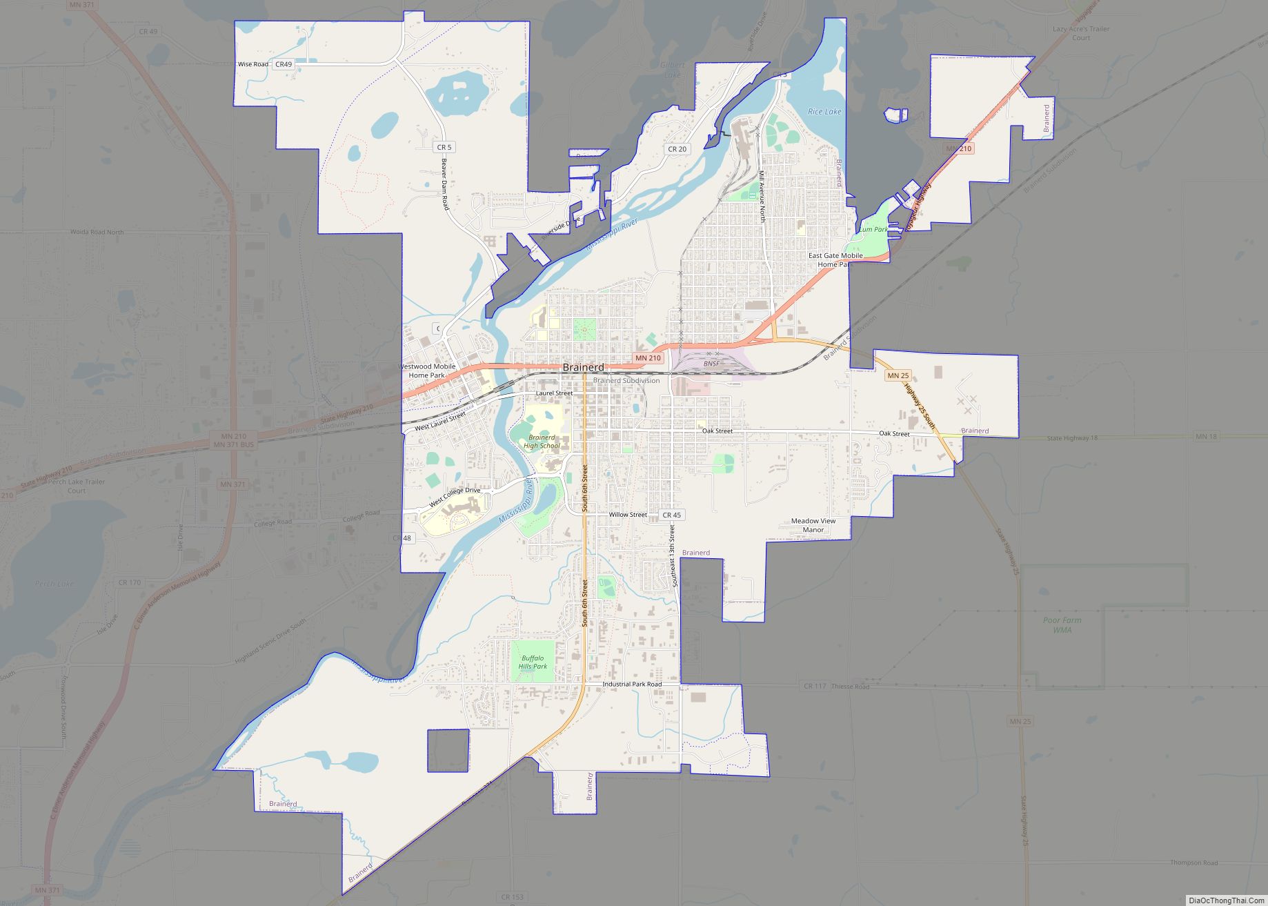
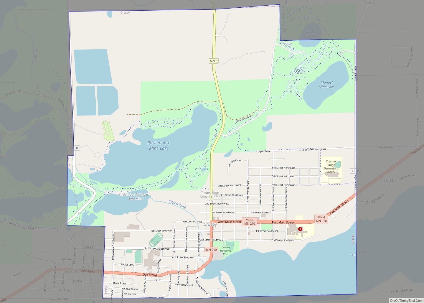
Crosby Road Map
Crosby city Satellite Map
Geography
Crosby is in eastern Crow Wing County at the intersection of Minnesota Highways 6 and 210. Ironton is adjacent to the west and Deerwood lies to the east along route 210. Serpent Lake is adjacent to the southeast and the Cuyuna Country State Recreation Area is to the northwest. The Mississippi River flows by four miles to the north.
According to the United States Census Bureau, the city has an area of 3.73 square miles (9.66 km), of which 3.07 square miles (7.95 km) is land and 0.66 square miles (1.71 km) is water.
See also
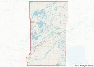
Map of Minnesota State and its subdivision:- Aitkin
- Anoka
- Becker
- Beltrami
- Benton
- Big Stone
- Blue Earth
- Brown
- Carlton
- Carver
- Cass
- Chippewa
- Chisago
- Clay
- Clearwater
- Cook
- Cottonwood
- Crow Wing
- Dakota
- Dodge
- Douglas
- Faribault
- Fillmore
- Freeborn
- Goodhue
- Grant
- Hennepin
- Houston
- Hubbard
- Isanti
- Itasca
- Jackson
- Kanabec
- Kandiyohi
- Kittson
- Koochiching
- Lac qui Parle
- Lake
- Lake of the Woods
- Lake Superior
- Le Sueur
- Lincoln
- Lyon
- Mahnomen
- Marshall
- Martin
- McLeod
- Meeker
- Mille Lacs
- Morrison
- Mower
- Murray
- Nicollet
- Nobles
- Norman
- Olmsted
- Otter Tail
- Pennington
- Pine
- Pipestone
- Polk
- Pope
- Ramsey
- Red Lake
- Redwood
- Renville
- Rice
- Rock
- Roseau
- Saint Louis
- Scott
- Sherburne
- Sibley
- Stearns
- Steele
- Stevens
- Swift
- Todd
- Traverse
- Wabasha
- Wadena
- Waseca
- Washington
- Watonwan
- Wilkin
- Winona
- Wright
- Yellow Medicine
- Alabama
- Alaska
- Arizona
- Arkansas
- California
- Colorado
- Connecticut
- Delaware
- District of Columbia
- Florida
- Georgia
- Hawaii
- Idaho
- Illinois
- Indiana
- Iowa
- Kansas
- Kentucky
- Louisiana
- Maine
- Maryland
- Massachusetts
- Michigan
- Minnesota
- Mississippi
- Missouri
- Montana
- Nebraska
- Nevada
- New Hampshire
- New Jersey
- New Mexico
- New York
- North Carolina
- North Dakota
- Ohio
- Oklahoma
- Oregon
- Pennsylvania
- Rhode Island
- South Carolina
- South Dakota
- Tennessee
- Texas
- Utah
- Vermont
- Virginia
- Washington
- West Virginia
- Wisconsin
- Wyoming
