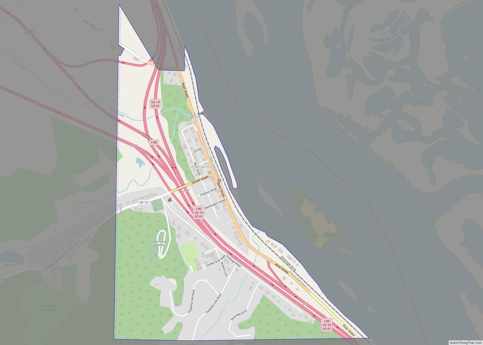
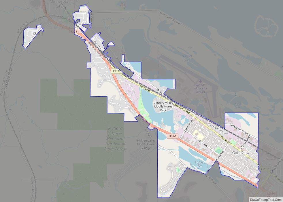
Dakota is a city in Winona County, Minnesota, United States. The population was 295 at the 2020 census.
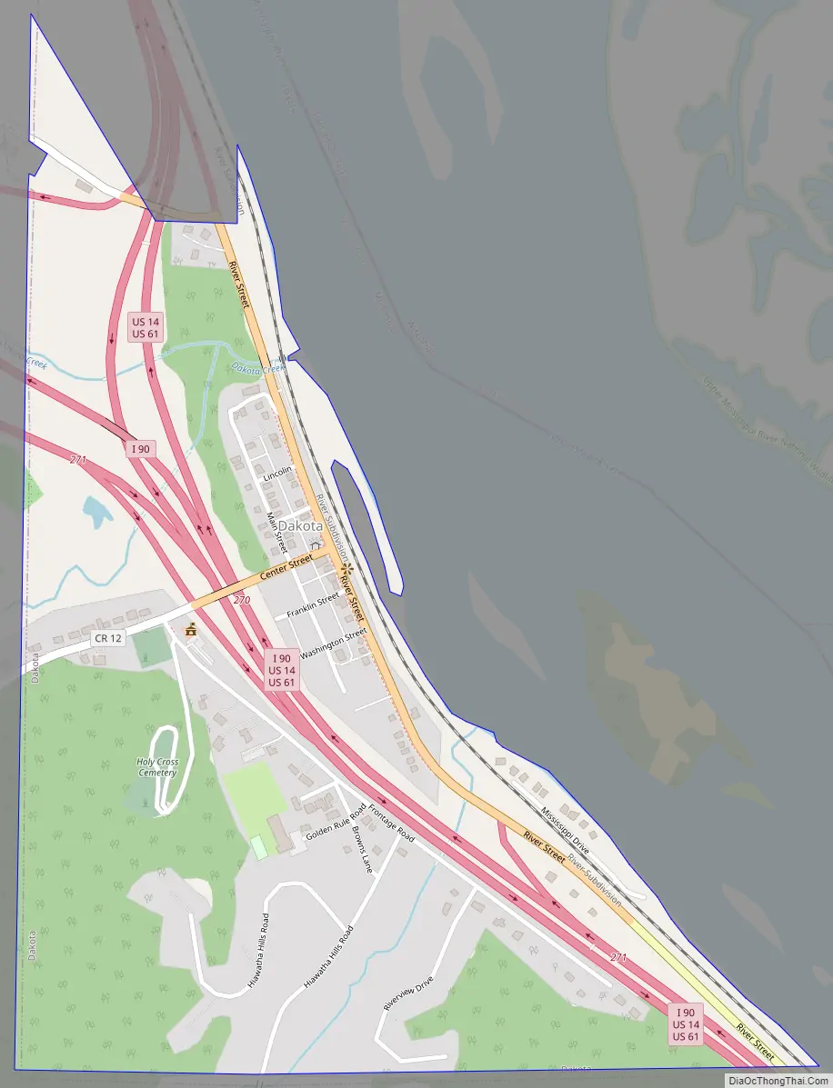
It is located between Winona and La Crosse along Interstate 90. U.S. Highways 61 and 14 are briefly co-signed with Interstate 90 at this point. Other routes include Winona County Road 12, the Apple Blossom Scenic Drive.
| Name: | Dakota city |
|---|---|
| LSAD Code: | 25 |
| LSAD Description: | city (suffix) |
| State: | Minnesota |
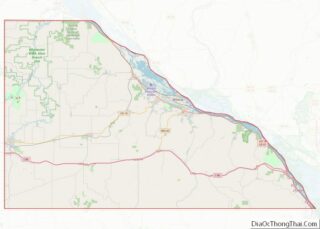
| County: | Winona County |
| Founded: | May 23, 1951 |
| Elevation: | 679 ft (207 m) |
| Total Area: | 0.55 sq mi (1.43 km²) |
| Land Area: | 0.55 sq mi (1.43 km²) |
| Water Area: | 0.00 sq mi (0.00 km²) |
| Total Population: | 295 |
| Population Density: | 532.49/sq mi (205.68/km²) |
| ZIP code: | 55925 |
| Area code: | 507 |
| FIPS code: | 2714518 |
| GNISfeature ID: | 0642598 |
| Website: | cityofdakotamn.com |
Online Interactive Map
Click on ![]() to view map in "full screen" mode.
to view map in "full screen" mode.
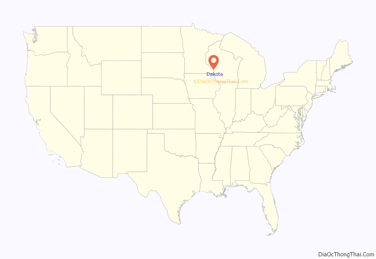
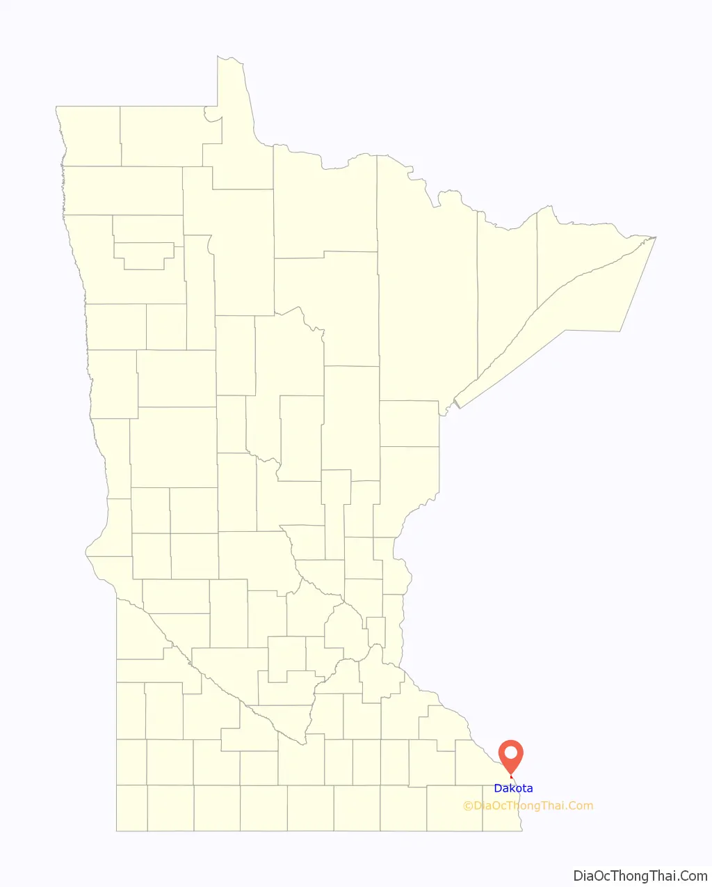
Dakota location map. Where is Dakota city?
History
Dakota was incorporated on May 23, 1951. It was laid out in 1855 and developed in 1859 by Nathan Brown, who came to Minnesota in 1847, had a stockyard, and ran a ferry service to Wisconsin. Once the center of berry growing, the main industry is now apple growing.
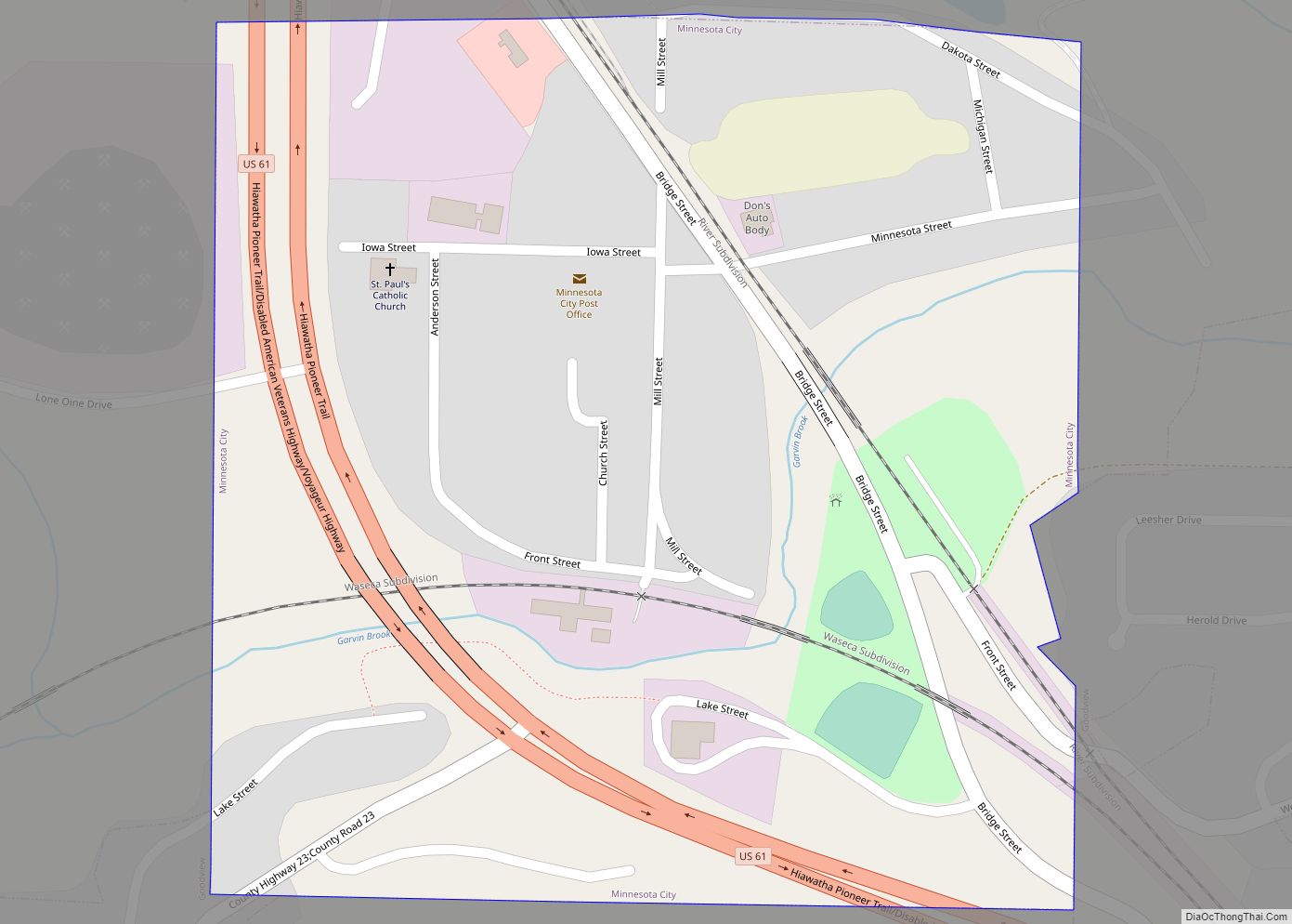
Dakota Road Map
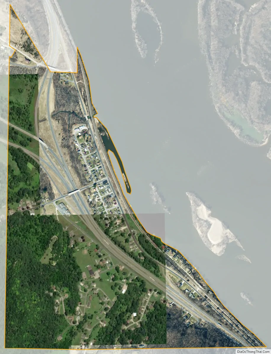
Dakota city Satellite Map
Geography
According to the United States Census Bureau, the city has a total area of 0.98 square miles (2.54 km); 0.65 square miles (1.68 km) is land and 0.33 square miles (0.85 km) is water.
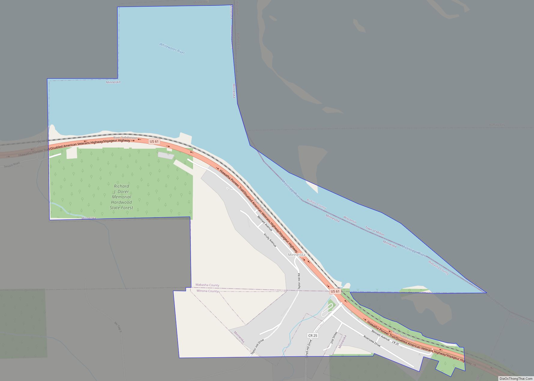
Dakota is located along the Mississippi River. Dakota Creek and the Mississippi River meet at Dakota. Nearby places include Winona, Dresbach, Nodine, La Crescent, La Crosse, Onalaska, and Great River Bluffs State Park.
Dakota is located 18 miles south of the city of Winona, and 11 miles north of the city of La Crosse.
See also
Map of Minnesota State and its subdivision:- Aitkin
- Anoka
- Becker
- Beltrami
- Benton
- Big Stone
- Blue Earth
- Brown
- Carlton
- Carver
- Cass
- Chippewa
- Chisago
- Clay
- Clearwater
- Cook
- Cottonwood
- Crow Wing
- Dakota
- Dodge
- Douglas
- Faribault
- Fillmore
- Freeborn
- Goodhue
- Grant
- Hennepin
- Houston
- Hubbard
- Isanti
- Itasca
- Jackson
- Kanabec
- Kandiyohi
- Kittson
- Koochiching
- Lac qui Parle
- Lake
- Lake of the Woods
- Lake Superior
- Le Sueur
- Lincoln
- Lyon
- Mahnomen
- Marshall
- Martin
- McLeod
- Meeker
- Mille Lacs
- Morrison
- Mower
- Murray
- Nicollet
- Nobles
- Norman
- Olmsted
- Otter Tail
- Pennington
- Pine
- Pipestone
- Polk
- Pope
- Ramsey
- Red Lake
- Redwood
- Renville
- Rice
- Rock
- Roseau
- Saint Louis
- Scott
- Sherburne
- Sibley
- Stearns
- Steele
- Stevens
- Swift
- Todd
- Traverse
- Wabasha
- Wadena
- Waseca
- Washington
- Watonwan
- Wilkin
- Winona
- Wright
- Yellow Medicine
- Alabama
- Alaska
- Arizona
- Arkansas
- California
- Colorado
- Connecticut
- Delaware
- District of Columbia
- Florida
- Georgia
- Hawaii
- Idaho
- Illinois
- Indiana
- Iowa
- Kansas
- Kentucky
- Louisiana
- Maine
- Maryland
- Massachusetts
- Michigan
- Minnesota
- Mississippi
- Missouri
- Montana
- Nebraska
- Nevada
- New Hampshire
- New Jersey
- New Mexico
- New York
- North Carolina
- North Dakota
- Ohio
- Oklahoma
- Oregon
- Pennsylvania
- Rhode Island
- South Carolina
- South Dakota
- Tennessee
- Texas
- Utah
- Vermont
- Virginia
- Washington
- West Virginia
- Wisconsin
- Wyoming