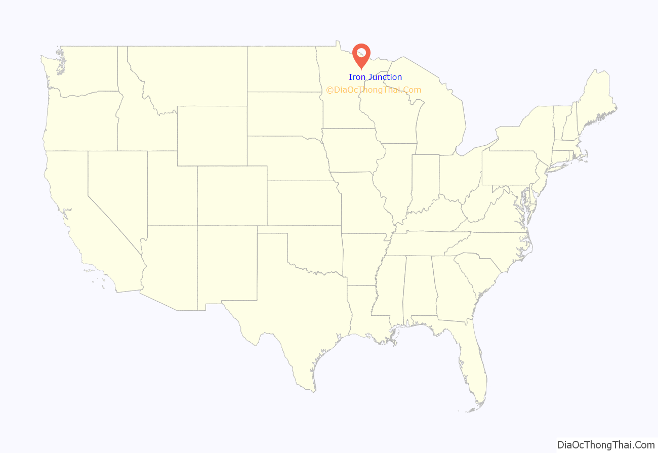
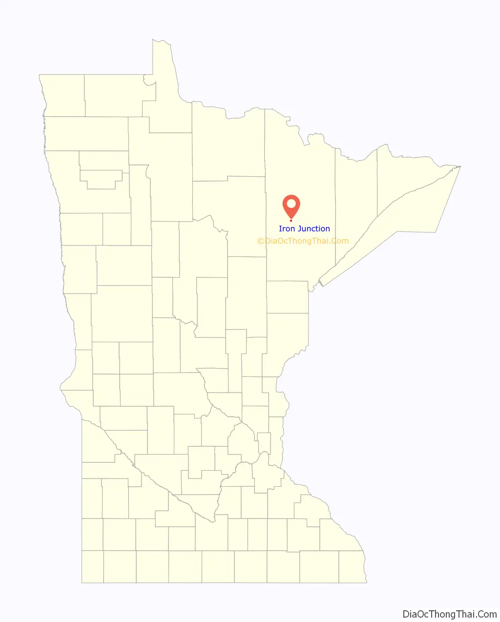
Iron Junction is a city in Saint Louis County, Minnesota, United States. The population was 86 at the 2010 census.
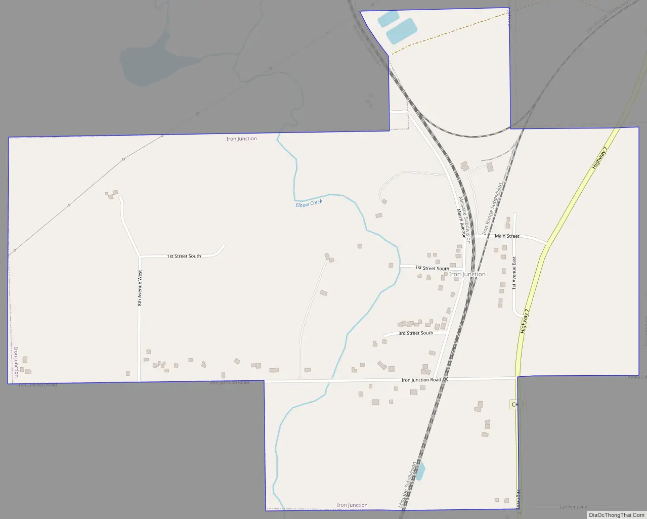
Saint Louis County Highway 7 and Iron Junction Road serve as main routes in the community. State Highway 37 (MN 37) is nearby.
The name Iron Junction, as a place of residence, is seldom used today by its residents. Those who reside in this community simply identify themselves as a resident of Iron. The road signs posted in the community also simply read “Iron“.
The city of Iron Junction is located within Clinton Township geographically but is a separate entity.
| Name: | Iron Junction city |
|---|---|
| LSAD Code: | 25 |
| LSAD Description: | city (suffix) |
| State: | Minnesota |
| County: | St. Louis County |
| Elevation: | 1,385 ft (422 m) |
| Total Area: | 0.81 sq mi (2.10 km²) |
| Land Area: | 0.81 sq mi (2.10 km²) |
| Water Area: | 0.00 sq mi (0.00 km²) |
| Total Population: | 110 |
| Population Density: | 135.47/sq mi (52.33/km²) |
| ZIP code: | 55751 |
| Area code: | 218 |
| FIPS code: | 2731238 |
| GNISfeature ID: | 0661552 |
Online Interactive Map
Click on ![]() to view map in "full screen" mode.
to view map in "full screen" mode.
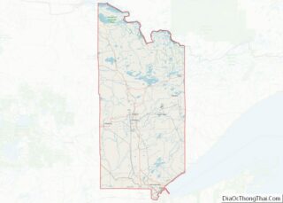
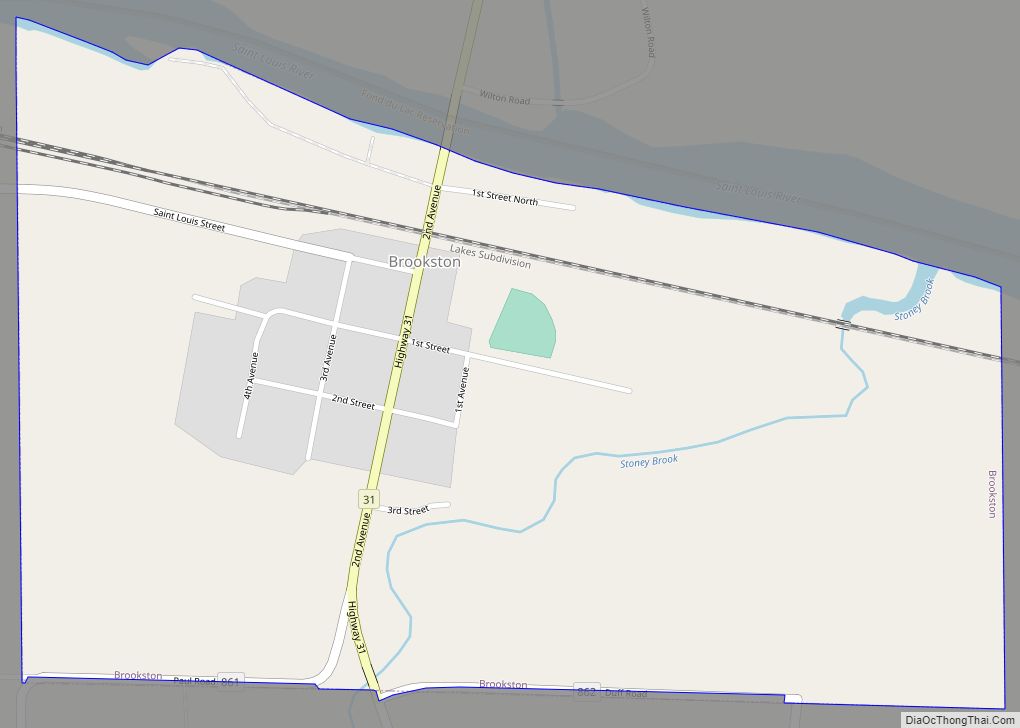
Iron Junction location map. Where is Iron Junction city?
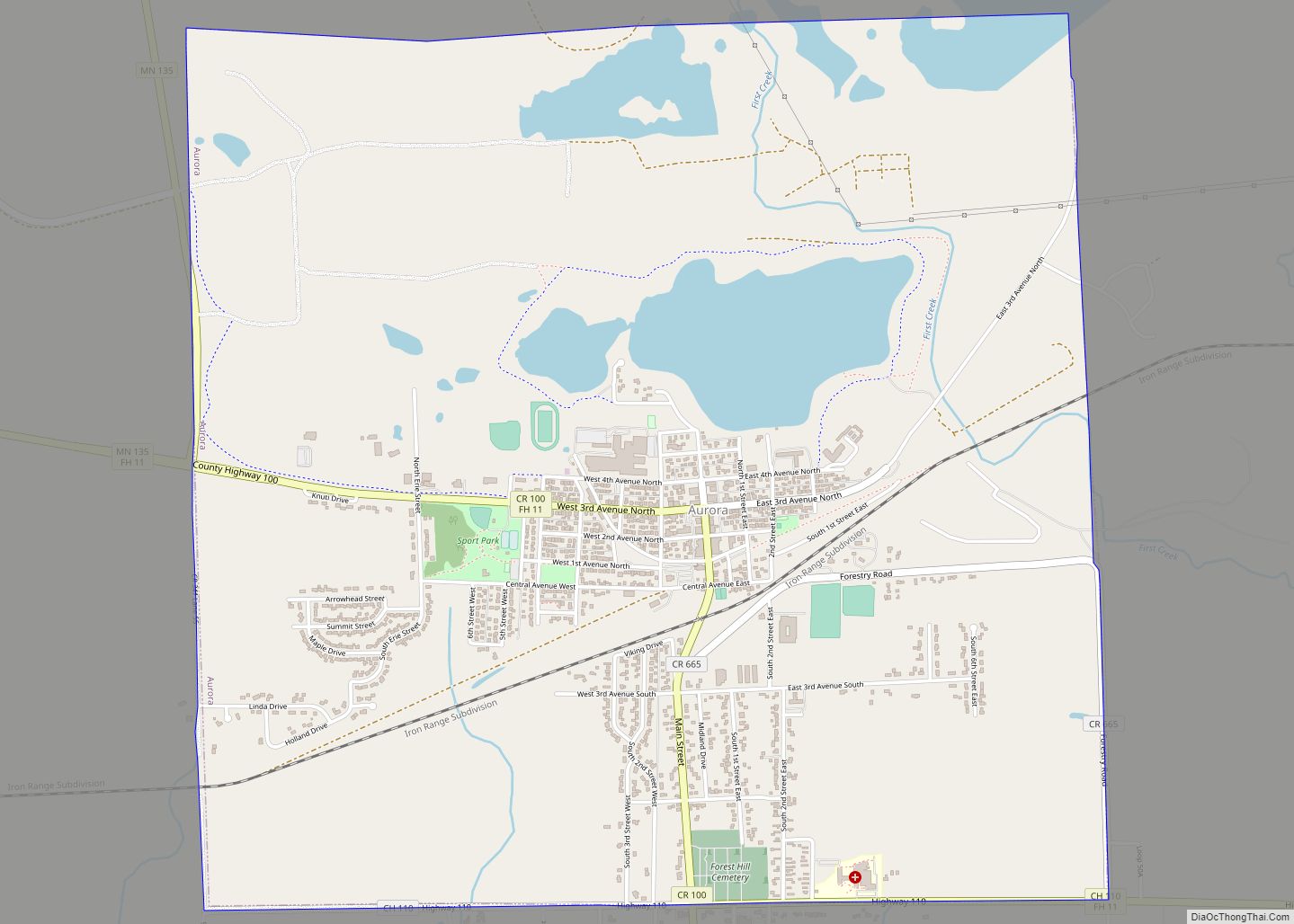
Iron Junction Road Map
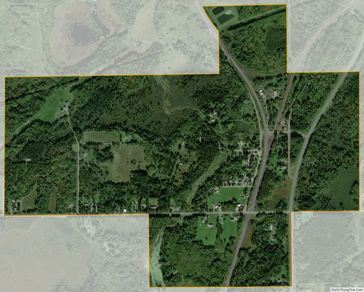
Iron Junction city Satellite Map
Geography
According to the United States Census Bureau, the city has a total area of 0.83 square miles (2.15 km), all land.
See also
Map of Minnesota State and its subdivision:- Aitkin
- Anoka
- Becker
- Beltrami
- Benton
- Big Stone
- Blue Earth
- Brown
- Carlton
- Carver
- Cass
- Chippewa
- Chisago
- Clay
- Clearwater
- Cook
- Cottonwood
- Crow Wing
- Dakota
- Dodge
- Douglas
- Faribault
- Fillmore
- Freeborn
- Goodhue
- Grant
- Hennepin
- Houston
- Hubbard
- Isanti
- Itasca
- Jackson
- Kanabec
- Kandiyohi
- Kittson
- Koochiching
- Lac qui Parle
- Lake
- Lake of the Woods
- Lake Superior
- Le Sueur
- Lincoln
- Lyon
- Mahnomen
- Marshall
- Martin
- McLeod
- Meeker
- Mille Lacs
- Morrison
- Mower
- Murray
- Nicollet
- Nobles
- Norman
- Olmsted
- Otter Tail
- Pennington
- Pine
- Pipestone
- Polk
- Pope
- Ramsey
- Red Lake
- Redwood
- Renville
- Rice
- Rock
- Roseau
- Saint Louis
- Scott
- Sherburne
- Sibley
- Stearns
- Steele
- Stevens
- Swift
- Todd
- Traverse
- Wabasha
- Wadena
- Waseca
- Washington
- Watonwan
- Wilkin
- Winona
- Wright
- Yellow Medicine
- Alabama
- Alaska
- Arizona
- Arkansas
- California
- Colorado
- Connecticut
- Delaware
- District of Columbia
- Florida
- Georgia
- Hawaii
- Idaho
- Illinois
- Indiana
- Iowa
- Kansas
- Kentucky
- Louisiana
- Maine
- Maryland
- Massachusetts
- Michigan
- Minnesota
- Mississippi
- Missouri
- Montana
- Nebraska
- Nevada
- New Hampshire
- New Jersey
- New Mexico
- New York
- North Carolina
- North Dakota
- Ohio
- Oklahoma
- Oregon
- Pennsylvania
- Rhode Island
- South Carolina
- South Dakota
- Tennessee
- Texas
- Utah
- Vermont
- Virginia
- Washington
- West Virginia
- Wisconsin
- Wyoming