Jenkins is a city in Crow Wing County, Minnesota, United States. The population was 430 at the 2010 census. It is part of the Brainerd Micropolitan Statistical Area.
| Name: | Jenkins city |
|---|---|
| LSAD Code: | 25 |
| LSAD Description: | city (suffix) |
| State: | Minnesota |
| County: | Crow Wing County |
| Elevation: | 1,266 ft (386 m) |
| Total Area: | 4.50 sq mi (11.66 km²) |
| Land Area: | 4.47 sq mi (11.58 km²) |
| Water Area: | 0.03 sq mi (0.07 km²) |
| Total Population: | 490 |
| Population Density: | 109.57/sq mi (42.30/km²) |
| ZIP code: | 56456, 56472 |
| Area code: | 218 |
| FIPS code: | 2731832 |
| GNISfeature ID: | 0645619 |
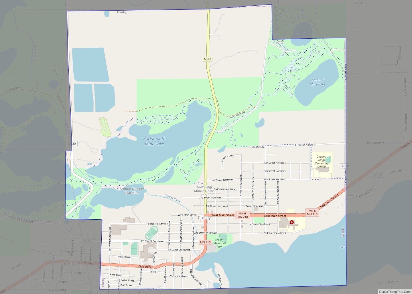
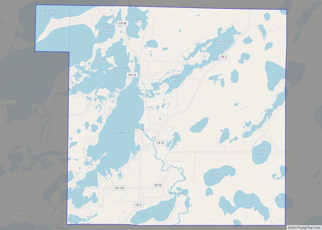
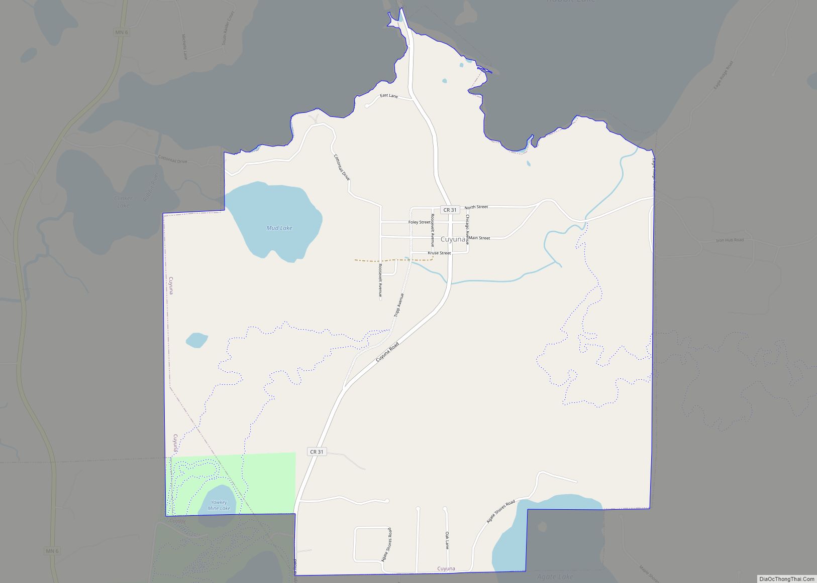
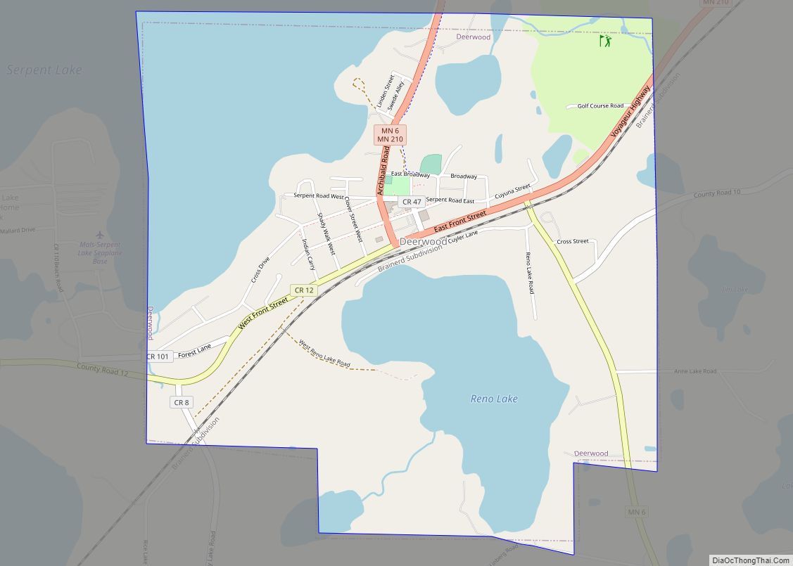
Online Interactive Map
Click on ![]() to view map in "full screen" mode.
to view map in "full screen" mode.
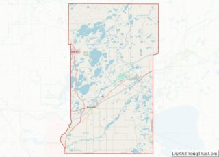
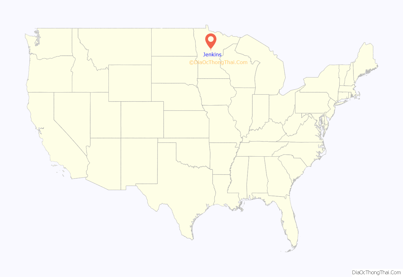
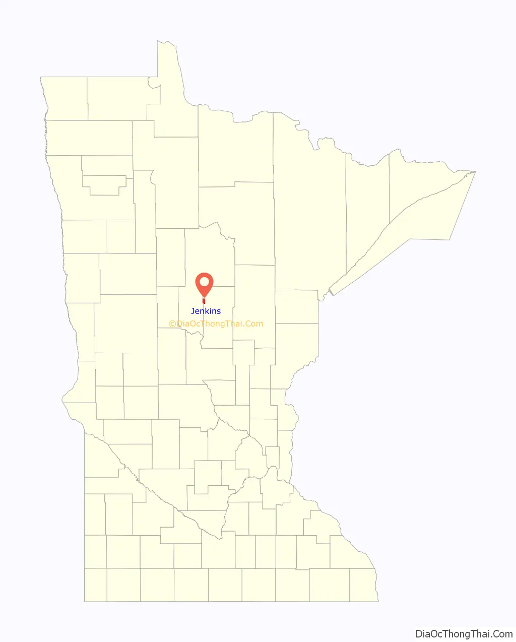
Jenkins location map. Where is Jenkins city?
History
A post office called Jenkins has been in operation since 1895. The city was named for George W. Jenkins, a local lumberman. Jenkins was incorporated as a village in 1904 and as a city in 1969.
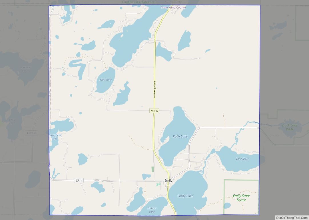
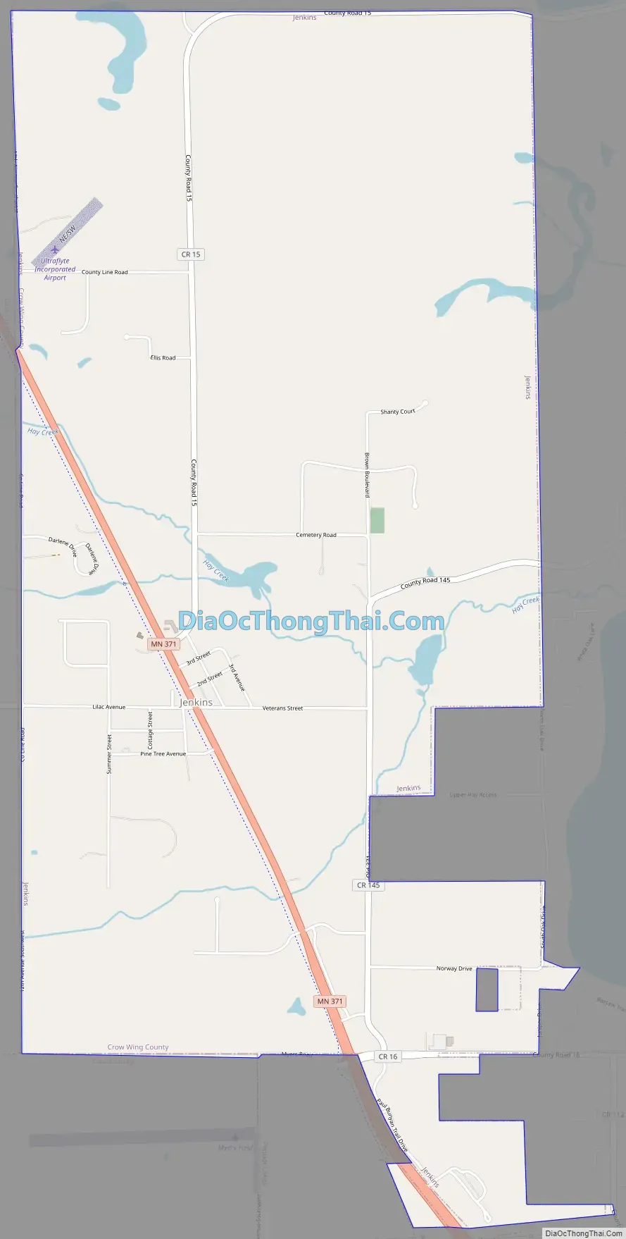
Jenkins Road Map
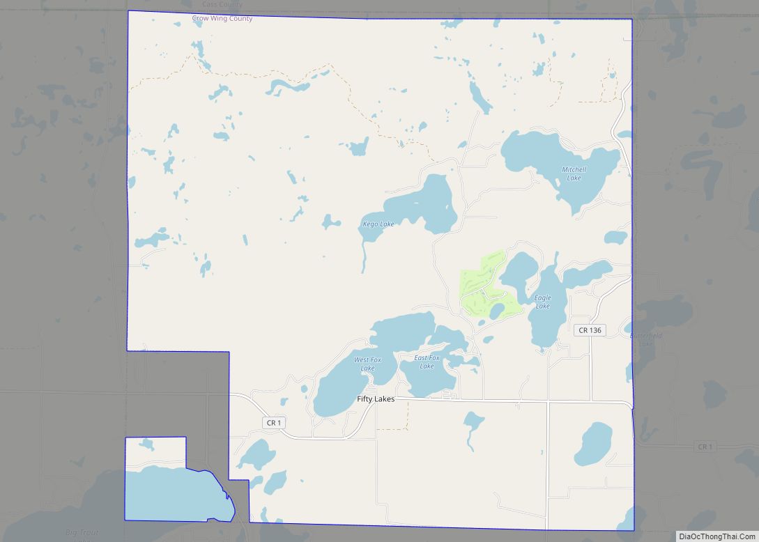
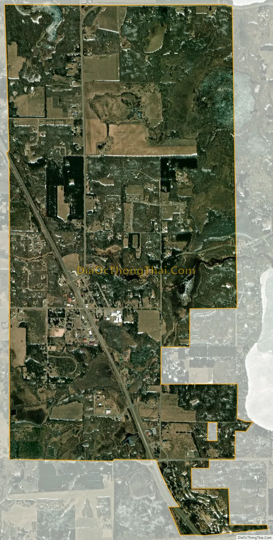
Jenkins city Satellite Map
Geography
According to the United States Census Bureau, the city has a total area of 4.51 square miles (11.68 km), of which 4.48 square miles (11.60 km) is land and 0.03 square miles (0.08 km) is water. Jenkins is located in the northwest part of Crow Wing County. Jenkins is a gateway to the nearby Whitefish Chain of Lakes.
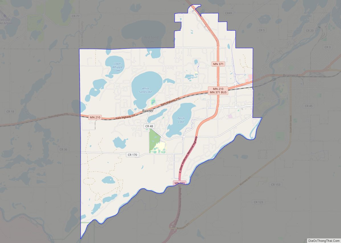
Minnesota State Highway 371 serves as a main route in the community. Other routes include County Roads 15, 16, and 145.
Jenkins is part of the Brainerd Lakes Area.
See also
Map of Minnesota State and its subdivision:- Aitkin
- Anoka
- Becker
- Beltrami
- Benton
- Big Stone
- Blue Earth
- Brown
- Carlton
- Carver
- Cass
- Chippewa
- Chisago
- Clay
- Clearwater
- Cook
- Cottonwood
- Crow Wing
- Dakota
- Dodge
- Douglas
- Faribault
- Fillmore
- Freeborn
- Goodhue
- Grant
- Hennepin
- Houston
- Hubbard
- Isanti
- Itasca
- Jackson
- Kanabec
- Kandiyohi
- Kittson
- Koochiching
- Lac qui Parle
- Lake
- Lake of the Woods
- Lake Superior
- Le Sueur
- Lincoln
- Lyon
- Mahnomen
- Marshall
- Martin
- McLeod
- Meeker
- Mille Lacs
- Morrison
- Mower
- Murray
- Nicollet
- Nobles
- Norman
- Olmsted
- Otter Tail
- Pennington
- Pine
- Pipestone
- Polk
- Pope
- Ramsey
- Red Lake
- Redwood
- Renville
- Rice
- Rock
- Roseau
- Saint Louis
- Scott
- Sherburne
- Sibley
- Stearns
- Steele
- Stevens
- Swift
- Todd
- Traverse
- Wabasha
- Wadena
- Waseca
- Washington
- Watonwan
- Wilkin
- Winona
- Wright
- Yellow Medicine
- Alabama
- Alaska
- Arizona
- Arkansas
- California
- Colorado
- Connecticut
- Delaware
- District of Columbia
- Florida
- Georgia
- Hawaii
- Idaho
- Illinois
- Indiana
- Iowa
- Kansas
- Kentucky
- Louisiana
- Maine
- Maryland
- Massachusetts
- Michigan
- Minnesota
- Mississippi
- Missouri
- Montana
- Nebraska
- Nevada
- New Hampshire
- New Jersey
- New Mexico
- New York
- North Carolina
- North Dakota
- Ohio
- Oklahoma
- Oregon
- Pennsylvania
- Rhode Island
- South Carolina
- South Dakota
- Tennessee
- Texas
- Utah
- Vermont
- Virginia
- Washington
- West Virginia
- Wisconsin
- Wyoming